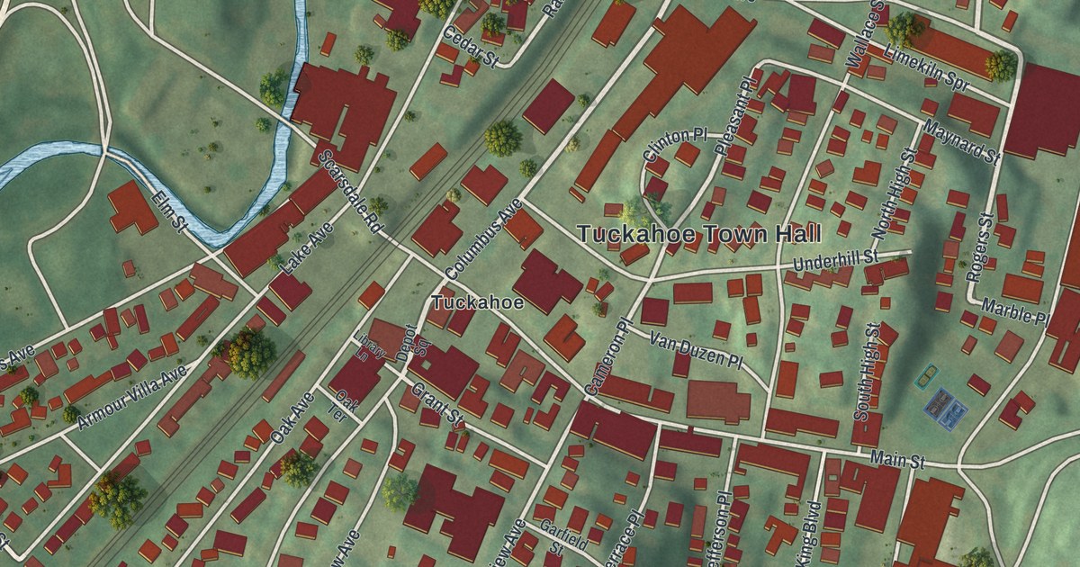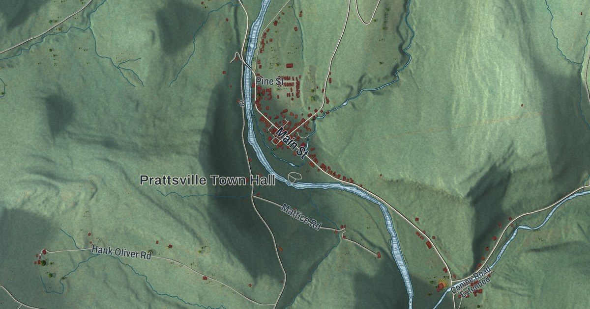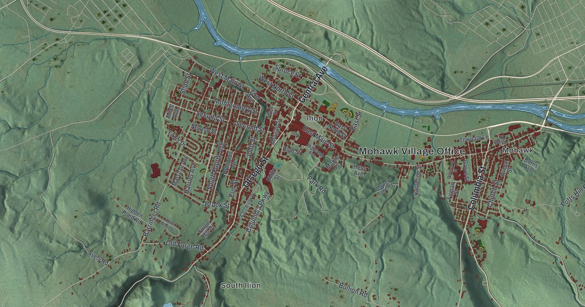
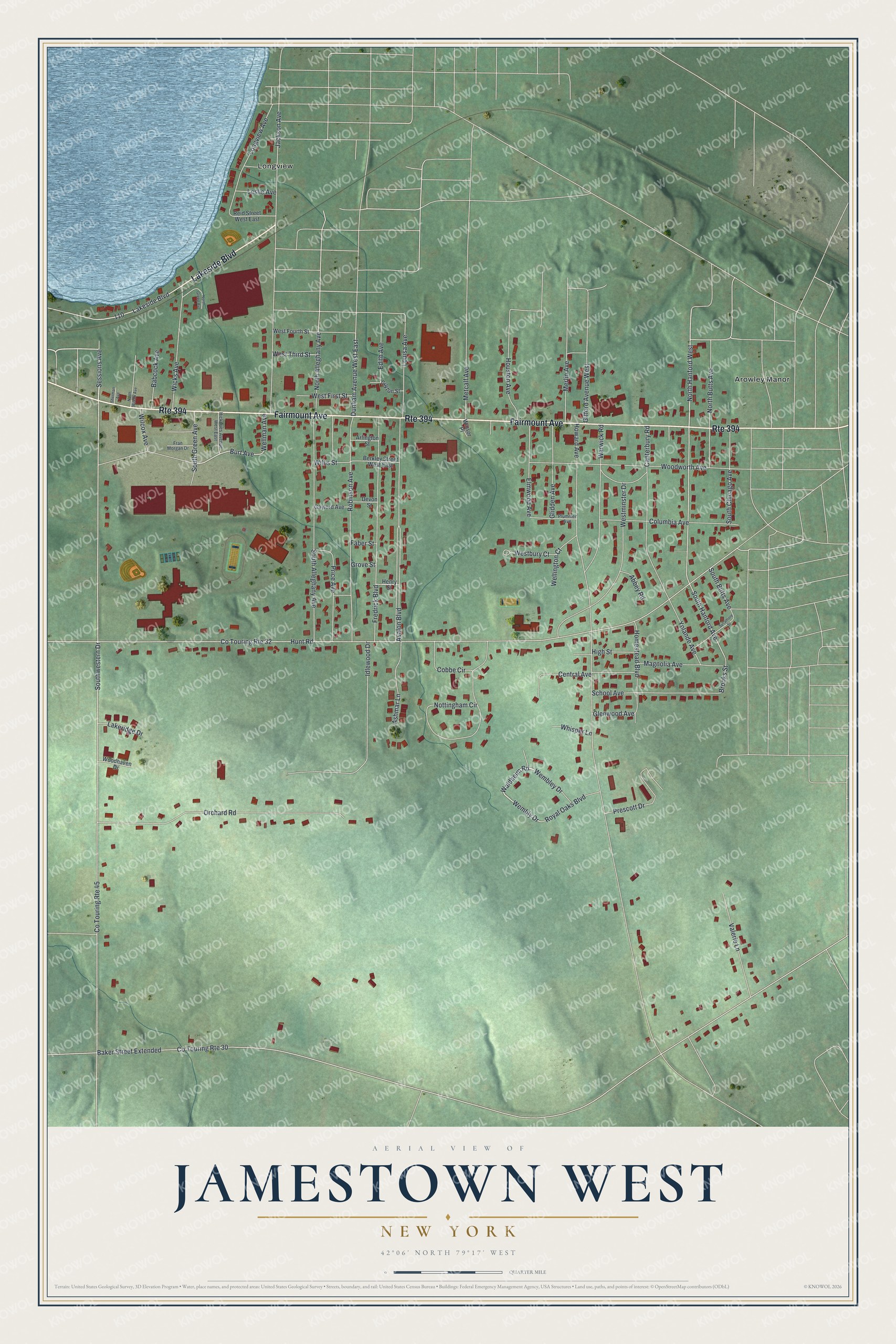
This beautifully detailed map of Jamestown West, New York was created in 2026 using aerial imagery combined with modern topographical, census, street and landmark data. It’s a one-of-a-kind view of Jamestown West that combines accurate data with a vintage aesthetic. The map shows every building in its true location, many of the roads carry their names, and the shaded topographic relief shows the shape of the land.
Explore an aerial view of Jamestown West, New York
On the map you’ll find North Hanford West and Longview, along with Fairmount Avenue, Lakeside Boulevard, Waldheim Road, Sessions Avenue, and more. If you look closely you can even find your house accurately drawn in its correct location. Zoom in on the preview to look for yours.
Did You Know?
Lucy Ricardo, star of a classic TV sitcom, was said to come from West Jamestown. Lucille Ball, who played Lucy, was born in Jamestown. She spent most of her childhood in Celoron, which sits right beside Jamestown West.
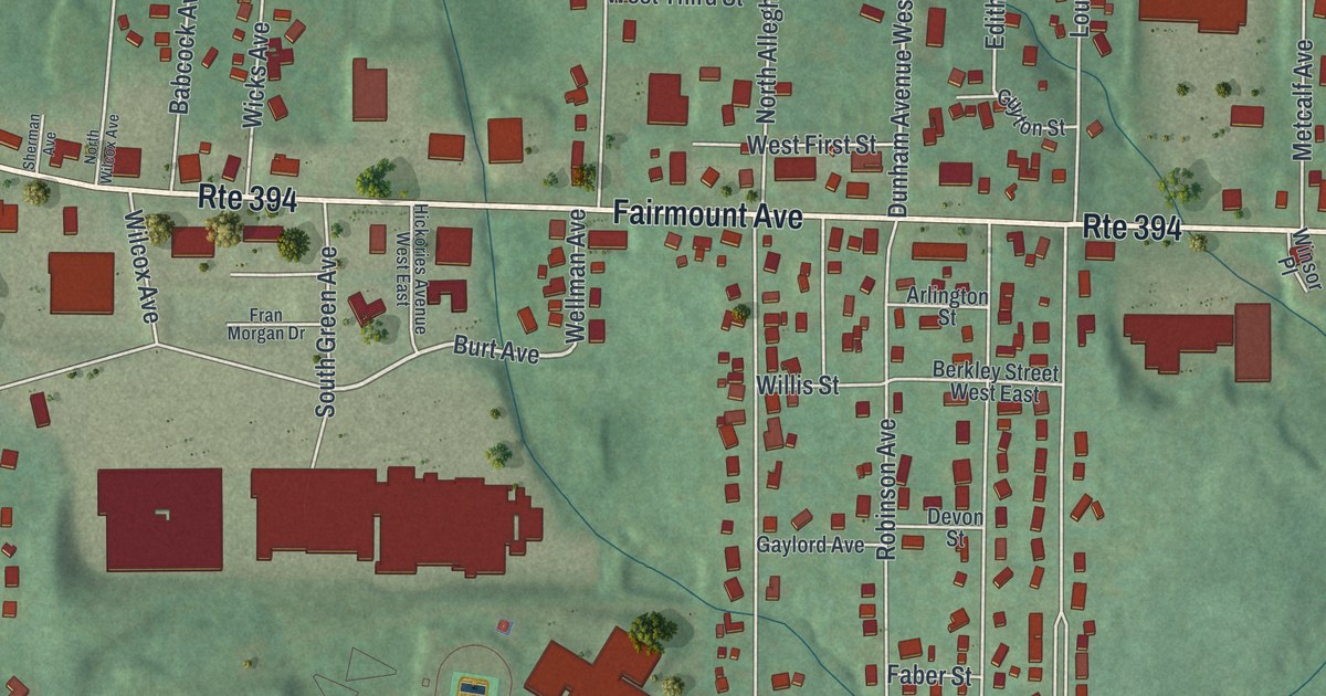
Take a closer look at the Jamestown West map
Names on this map
These names are printed on this map.
Places: Arowley Manor and Longview.
Streets and roads: Fairmount Avenue, Route 394, Lakeside Boulevard, North Hanford West, Waldheim Road, Sessions Avenue, Dunham Avenue West East, Burt Avenue, Wembly Drive, South Hanford Avenue, Co Touring Route 32, Hunt Road.
More street names, A to Z
Abbey Road, Arlington Street, Ashmar Lane, Avalon Boulevard, Babcock Avenue, Baker Street Extended, Berkley Street West East, Brooks Street, Canterbury Road, Central Avenue, Cobbe Circle, Columbia Avenue, Co Touring Route 30, Co Touring Route 45, Devon Street, Edith Avenue, Elmwood Avenue, Faber Street, Fran Morgan Drive, Fredrick Boulevard, Gaylord Avenue, Gifford Avenue West, Glenwood Avenue, Glidden Avenue, Grove Street, Guyton Street, Henry Street, Hickories Avenue West East, High Street, Homestead Boulevard, Houston Avenue, Howard Avenue, Idlewood Drive, Jackson Avenue, Lakeridge Drive, Leslie Avenue, Longview Avenue, Louisa Avenue, Magnolia Avenue, Merlin Avenue, Metcalf Avenue, North Alleghany Avenue, North Butts Avenue, North Green Avenue, North Wilcox Avenue, Nottingham Circle, Orchard Road, Plummer Avenue, Prescott Drive, Price Avenue, Reid Street West East, Robinson Avenue, Royal Oaks Boulevard, School Avenue, Sherman Avenue, South Alleghany Avenue, South Butts Avenue, South Chicago Avenue, South Green Avenue, Southwestern Drive, Sycamore Street, Valerie Lane, Warwick Road, Wellington Court, Wellman Avenue, Wembley Drive, Westbury Court, West First Street, West Fourth Street, Westminster Drive, West Third Street, Whisper Lane, Wicks Avenue, Wilcox Avenue, Willis Street, Winsor Place, Woodhaven Drive, Woodworth Avenue, Yolande Avenue.
See it on a wall
The Jamestown West map as a framed print. Swipe for more.


This beautifully detailed map of Jamestown West makes an attractive addition to your office, library, or den, and it can even be used to teach children the geography and history of the area. It also makes a great gift for anyone with Jamestown West roots. When you’re done exploring, click here to get your copy of the Jamestown West map.