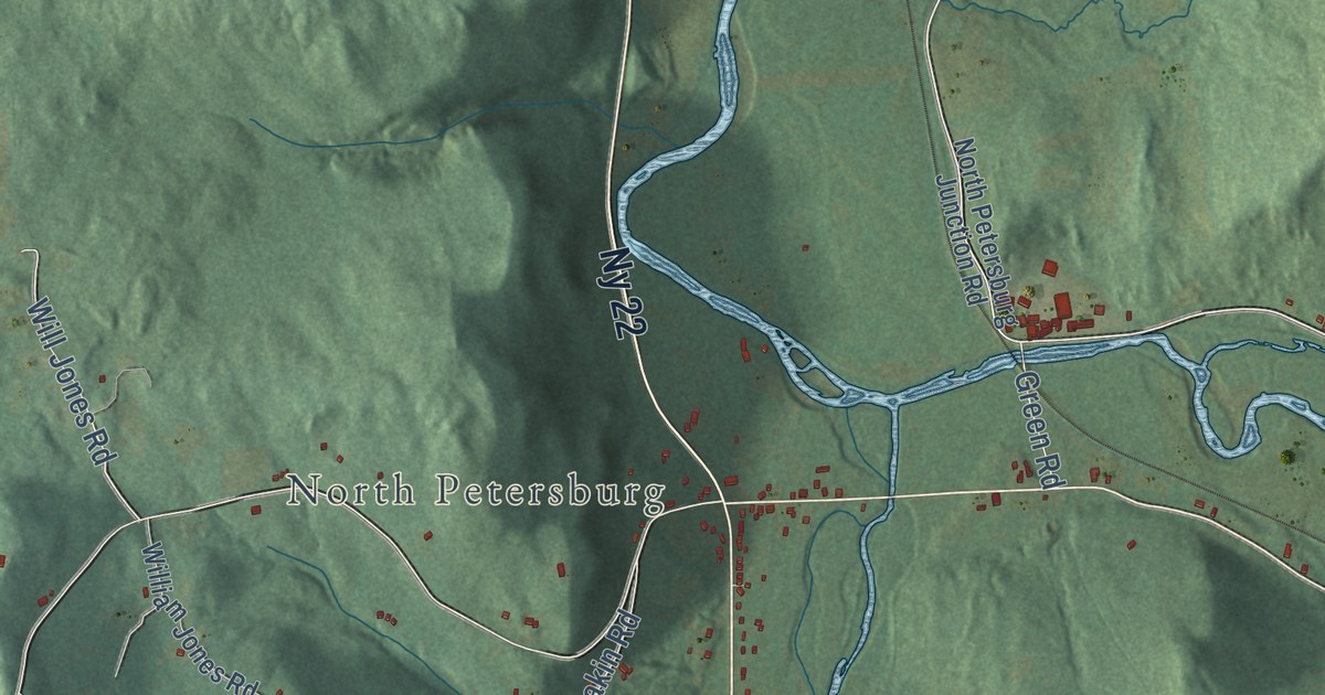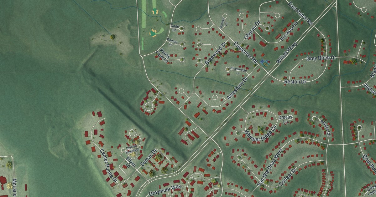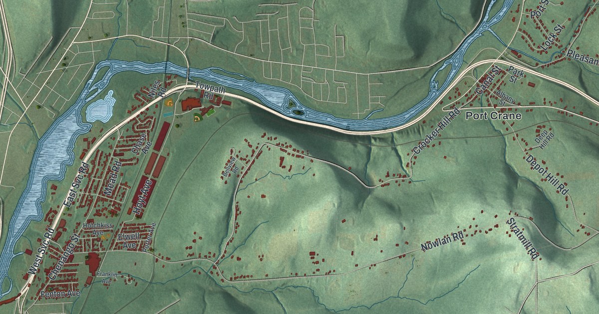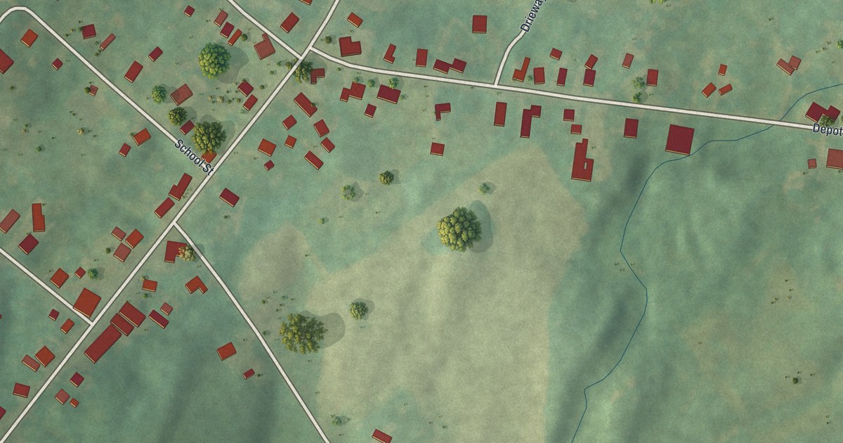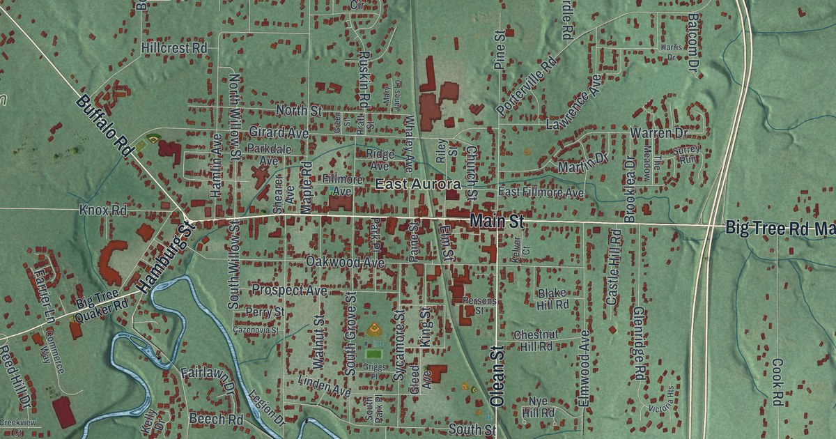
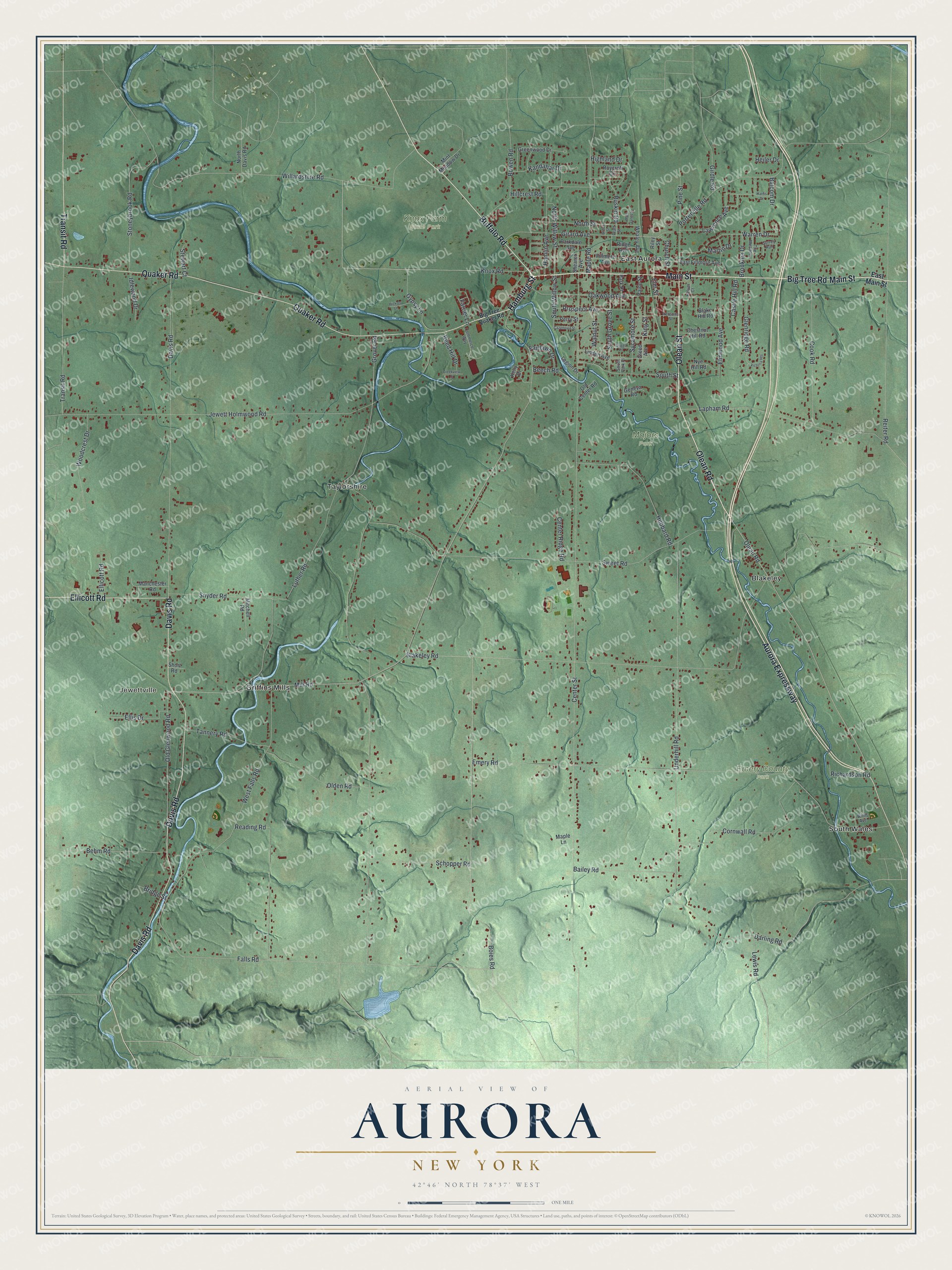
This beautifully detailed map of Aurora, New York was created in 2026 using aerial imagery combined with modern topographical, census, street and landmark data. It’s a one-of-a-kind view of Aurora that combines accurate data with a vintage aesthetic. The map shows every building in its true location, many of the roads carry their names, and the shaded topographic relief shows the shape of the land.
Explore an aerial view of Aurora, New York
On the map you’ll find Jewettville, Blakeley, East Aurora, Griffins Mills, South Wales, Emery County Park, Knox Farm State Park, and Majors Park, along with Main Street, Hamburg Street, Aurora Expressway, Buffalo Road, Olean Road, and more. If you look closely you can even find your house accurately drawn in its correct location. Zoom in on the preview to look for yours.
Did You Know?
Aurora was created in 1818 out of the old town of Willink, which once covered all of southern Erie County. In a close vote, residents chose the new name Aurora. The vote showed their growing anger at the Holland Land Company, whose stockholders included Willem Willink.
Take a closer look at the Aurora map
Names on this map
These names are printed on this map.
Places: Jewettville, Emery County Park, Knox Farm State Park, Majors Park, Blakeley, East Aurora, Griffins Mills, South Wales and Taylorshire.
Streets and roads: Main Street, Hamburg Street, Aurora Expressway, Buffalo Road, Olean Road, Olean Street, Davis Road, Quaker Road, Transit Road, Big Tree Road, Ellicott Road, Falls Road.
More street names, A to Z
Bailey Road, Balcom Drive, Beech Road, Behm Road, Big Tree Quaker Road, Blake Hill Road, Blakeley Road, Boies Road, Bowen Road, Bridge Street, Brooklea Drive, Castle Hill Road, Cazenovia Street, Center Ridge Road, Center Street, Chestnut Hill Road, Church Street, Commerce Way, Cook Road, Cornwall Road, Creekview Court, Darling Road, East Fillmore Avenue, East Main Street, Ellis Drive, Elm Street, Elmwood Avenue, Emery Road, Fairlawn Drive, Farrier Lane, Fillmore Avenue, Geneva Road, Girard Avenue, Girdle Road, Gleed Avenue, Glenridge Road, Green Street, Greenwood Drive, Griggs Place, Grover Road, Gypsy Lane, Hamlin Avenue, Harris Drive, Heiler Drive, Hickory Lane, Highland Drive, Hillcrest Road, Hubbard Road, Idlewood Drive, Jewett Holmwood Road, Kandahar Drive, Kelly Drive, Kelver Court, King Street, Knox Road, Lapham Road, Lawrence Avenue, Legion Drive, Lewis Road, Linden Avenue, Luther Road, Manchester Road, Maple Lane, Maple Road, Martin Drive, Mary Janes Lane, Mill Road, Mint Meadow Drive, Mitchell Road, North Davis Road, North Street, North Willow Street, Nye Hill Road, Oakwood Avenue, Old Center Road, Olden Road, Old Glenwood Road, Paine Street, Parkdale Avenue, Park Place, Perry Street, Persons Street, Pine Street, Porterville Road, Pratt Street, Prospect Avenue, Reading Road, Reed Hill Drive, Reiter Road, Richardson Road, Ridge Avenue, Riley Street, Roycroft Circle, Ruskin Road, Schopper Road, Shearer Avenue, Short Road, Snyder Road, South Grove Street, South Park Place, South Street, South Willow Street, Stewart Court, Stoneybrook Road, Surrey Run, Sweet Road, Sycamore Street, Tannery Road, The Meadow, Underhill Road, Victoria Heights, Walnut Street, Warren Drive, West Falls Road, Whaley Avenue, Willardshire Road, Willis Avenue, Woodcrest Drive.
See it on a wall
The Aurora map as a framed print. Swipe for more.


This beautifully detailed map of Aurora makes an attractive addition to your office, library, or den, and it can even be used to teach children the geography and history of the area. It also makes a great gift for someone who left Aurora and still calls it home. When you’re done exploring, click here to get your copy of the Aurora map.