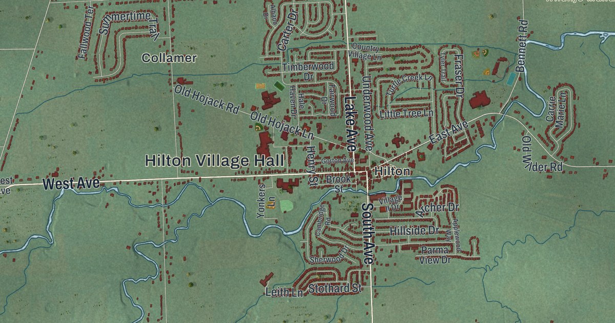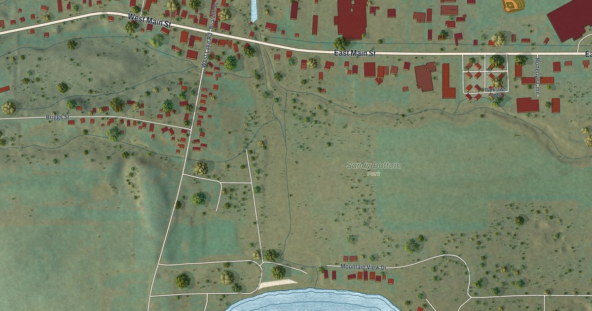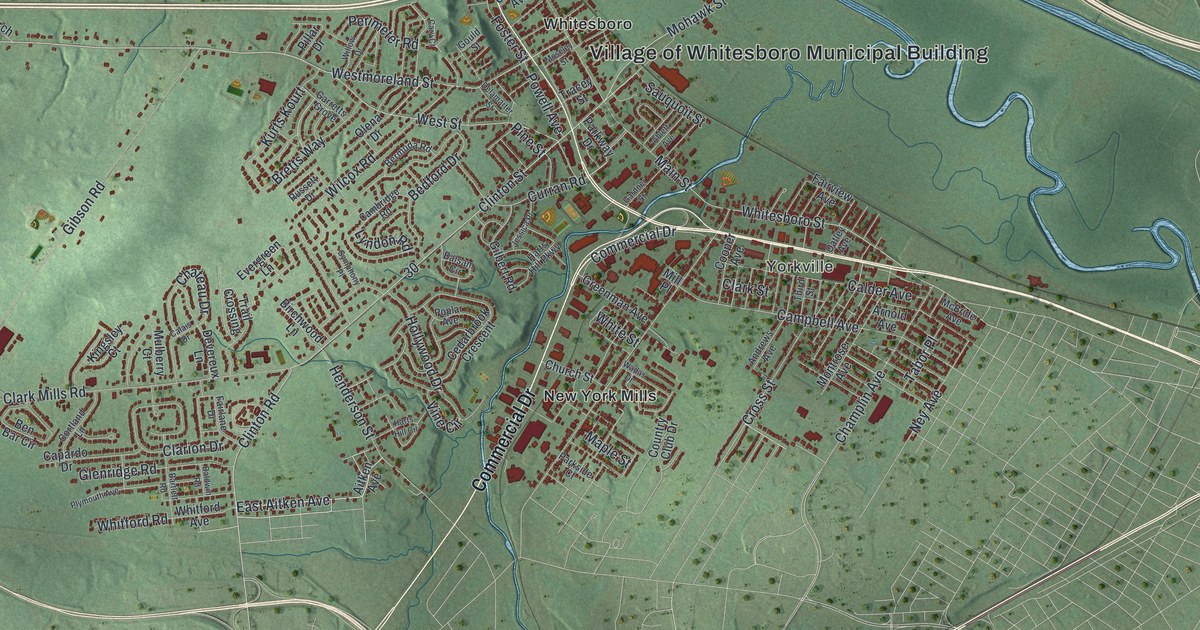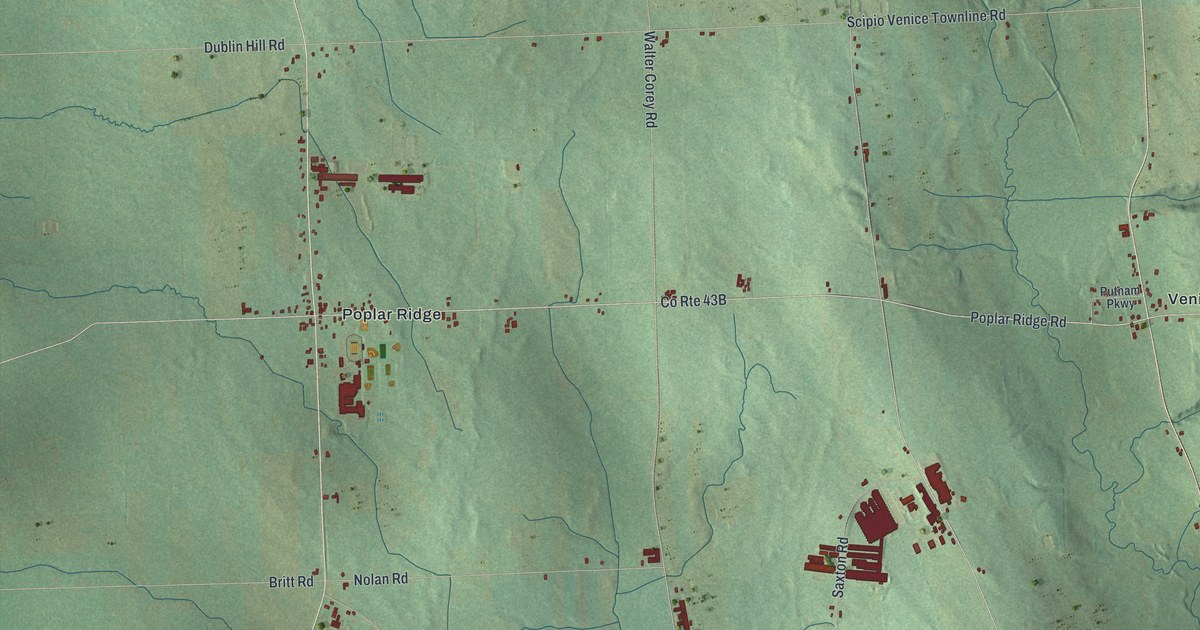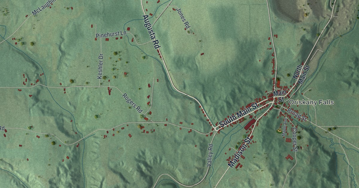
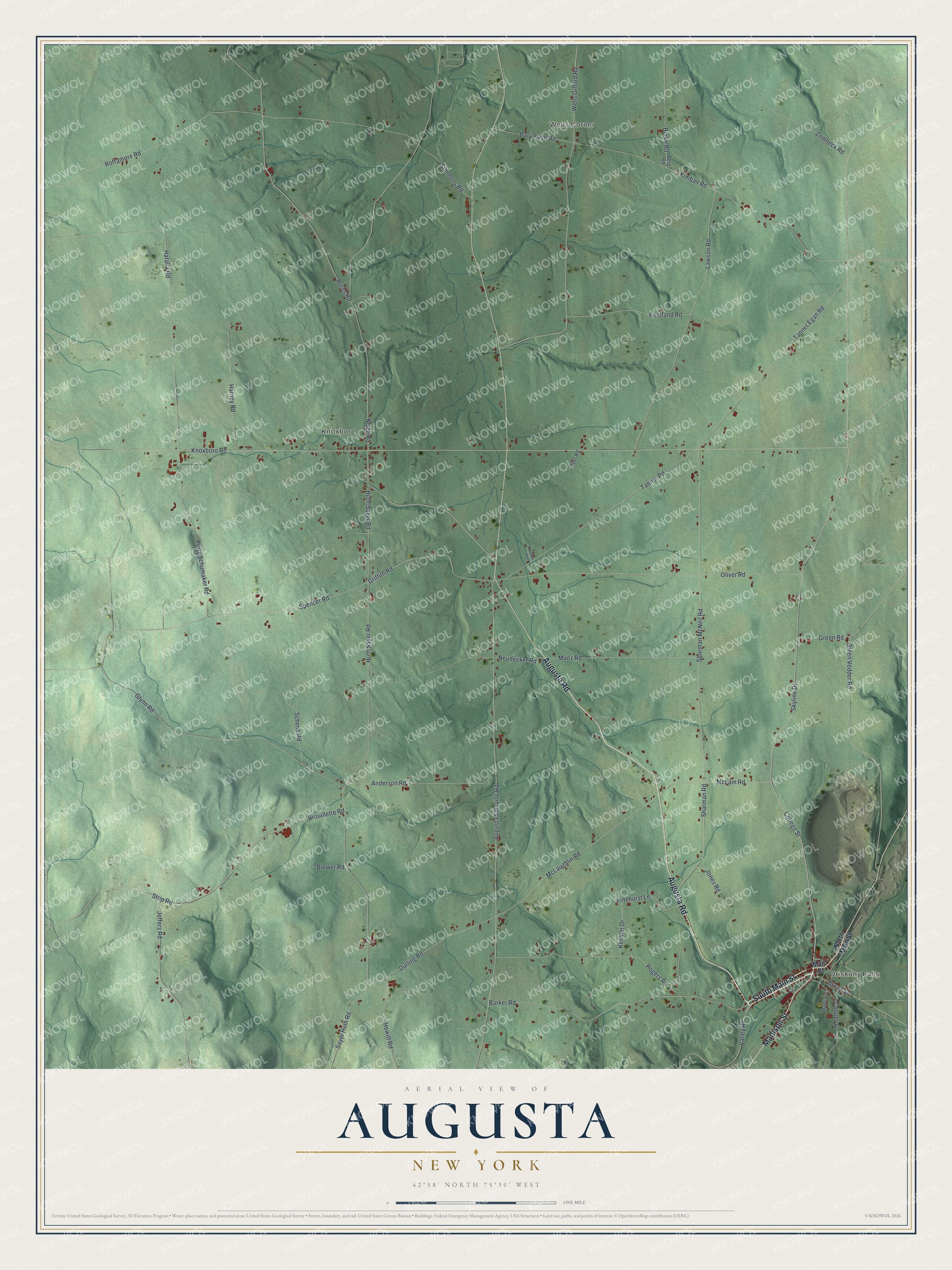
This beautifully detailed map of Augusta, New York was created in 2026 using aerial imagery combined with modern topographical, census, street and landmark data. It’s a one-of-a-kind view of Augusta that combines accurate data with a vintage aesthetic. The map shows every building in its true location, many of the roads carry their names, and the shaded topographic relief shows the shape of the land.
Explore an aerial view of Augusta, New York
On the map you’ll find Oriskany Falls, Wells Corner, and Knoxboro, along with Augusta Road, Main Street, Madison Street, Neudecker Road, Huth Sayer Road, and more. If you look closely you can even find your house accurately drawn in its correct location. Zoom in on the preview to look for yours.
Did You Know?
A settler named Gunn arrived in 1793 and made the first home in Augusta. His son Peter Smith Gunn became the first baby born in town. On August 17, 1793, Ichabod Stafford and the Forbes brothers came, bringing the population to 23.
Take a closer look at the Augusta map
Names on this map
These names are printed on this map.
Places: Oriskany Falls, Wells Corner and Knoxboro.
Streets and roads: Augusta Road, South Main Street, Madison Street, Neudecker Road, Huth Sayer Road, College Street, McLain Road, Sayer Huth Road, Spencer Road, McLaughlin Road, Griffith Road, Broad Street.
More street names, A to Z
Anderson Road, Augusta Solsville Road, Barker Road, Bary Farm Road, Berg Road, Brewer Road, Brouillette Road, Burke Road, Burns Road, Cooper Street, Durling Road, Glynn Road, Green Road, Green Vedder Road, Harney Road, Hatalla Road, Hewitt Road, Huth-Sayer Road, Jeffers Road, Jones Road, Keshler Drive, Kimball Road, Knoxboro Road, Lawson Road, Main Street, Maple Avenue, Munz Road, North Main Street, North Road, Norton Road, Oliver Road, Pentland Road, Perry Schumaker Road, Pinehurst Lane, Post Road, Rogers Road, Rottamore Road, Schenk Road, Sharman McNeil Road, Sharman Road, Simmons Road, Skyline Drive, Strip Road, Tanner Egan Road, Tanner Road, Valley Road, Wells Gifford Road, Zombeck Road.
See it on a wall
The Augusta map as a framed print. Swipe for more.


This beautifully detailed map of Augusta makes an attractive addition to your office, library, or den, and it can even be used to teach children the geography and history of the area. It also makes a great gift for anyone with Augusta roots. When you’re done exploring, click here to get your copy of the Augusta map.