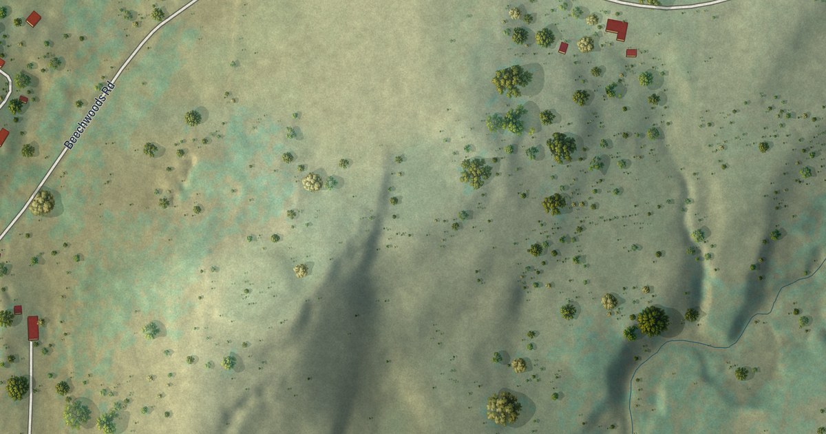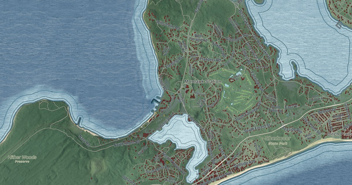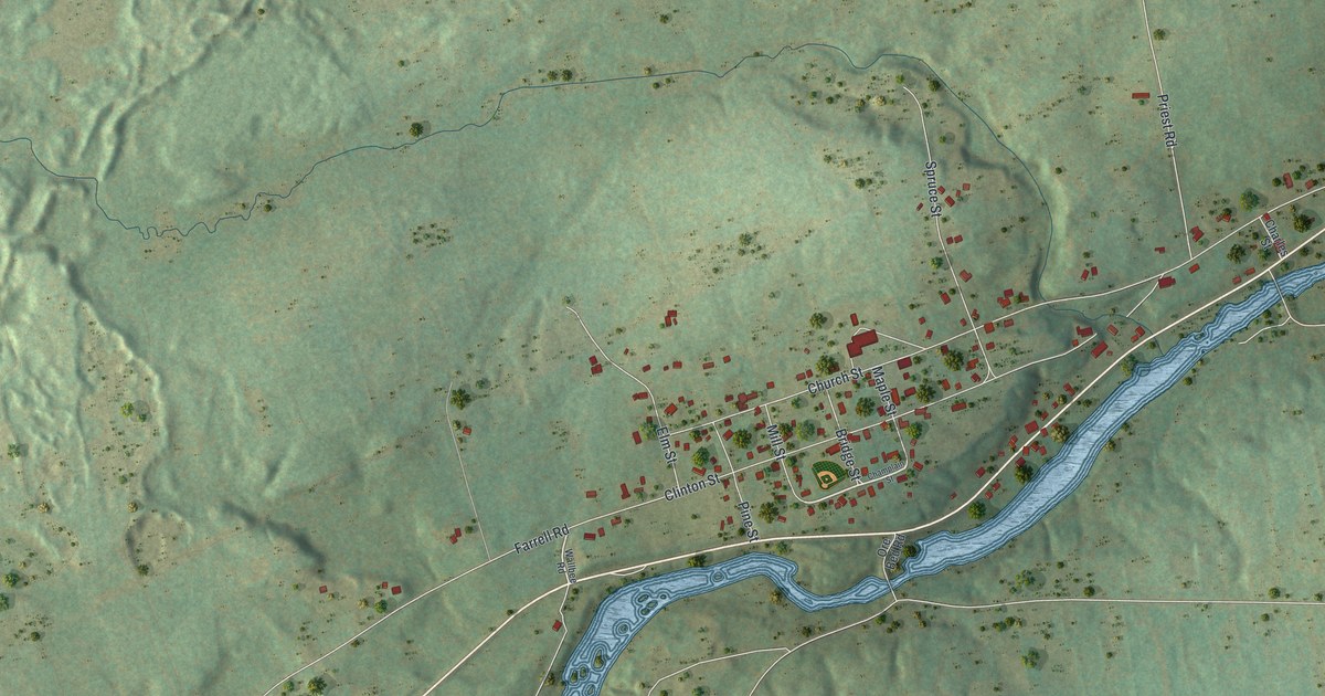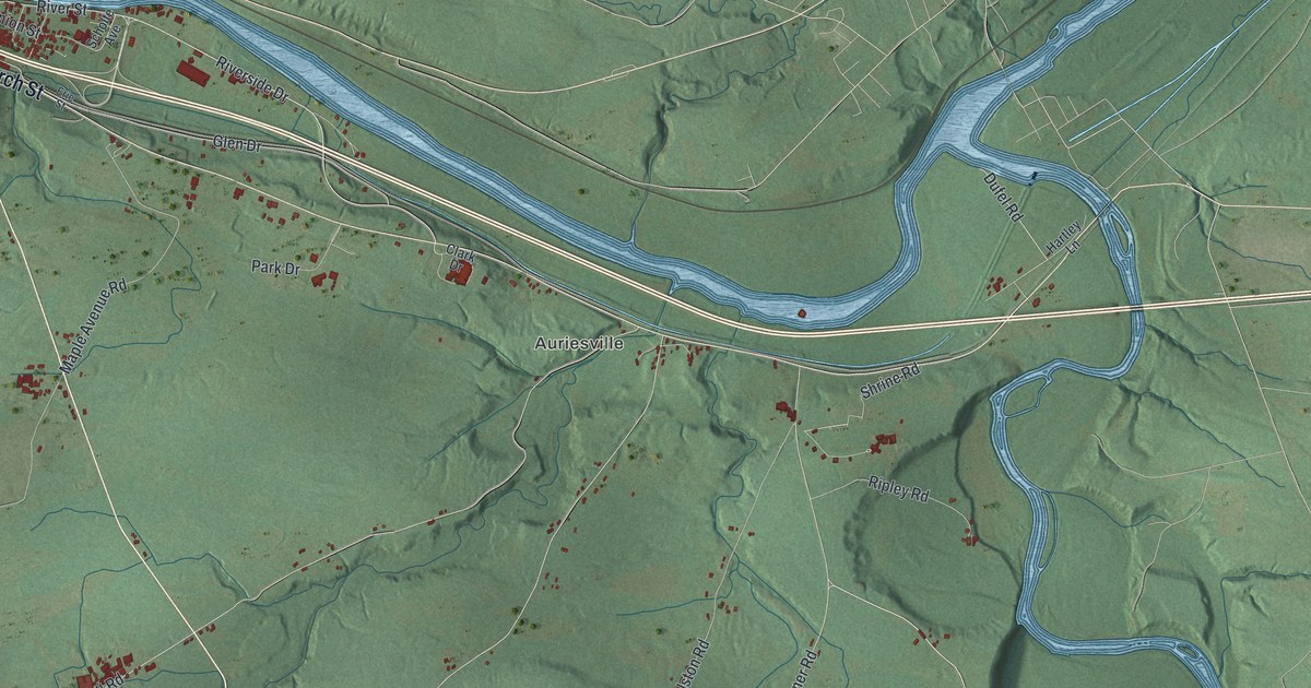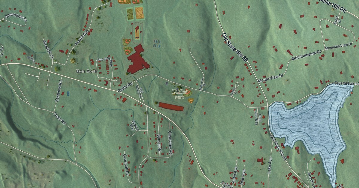
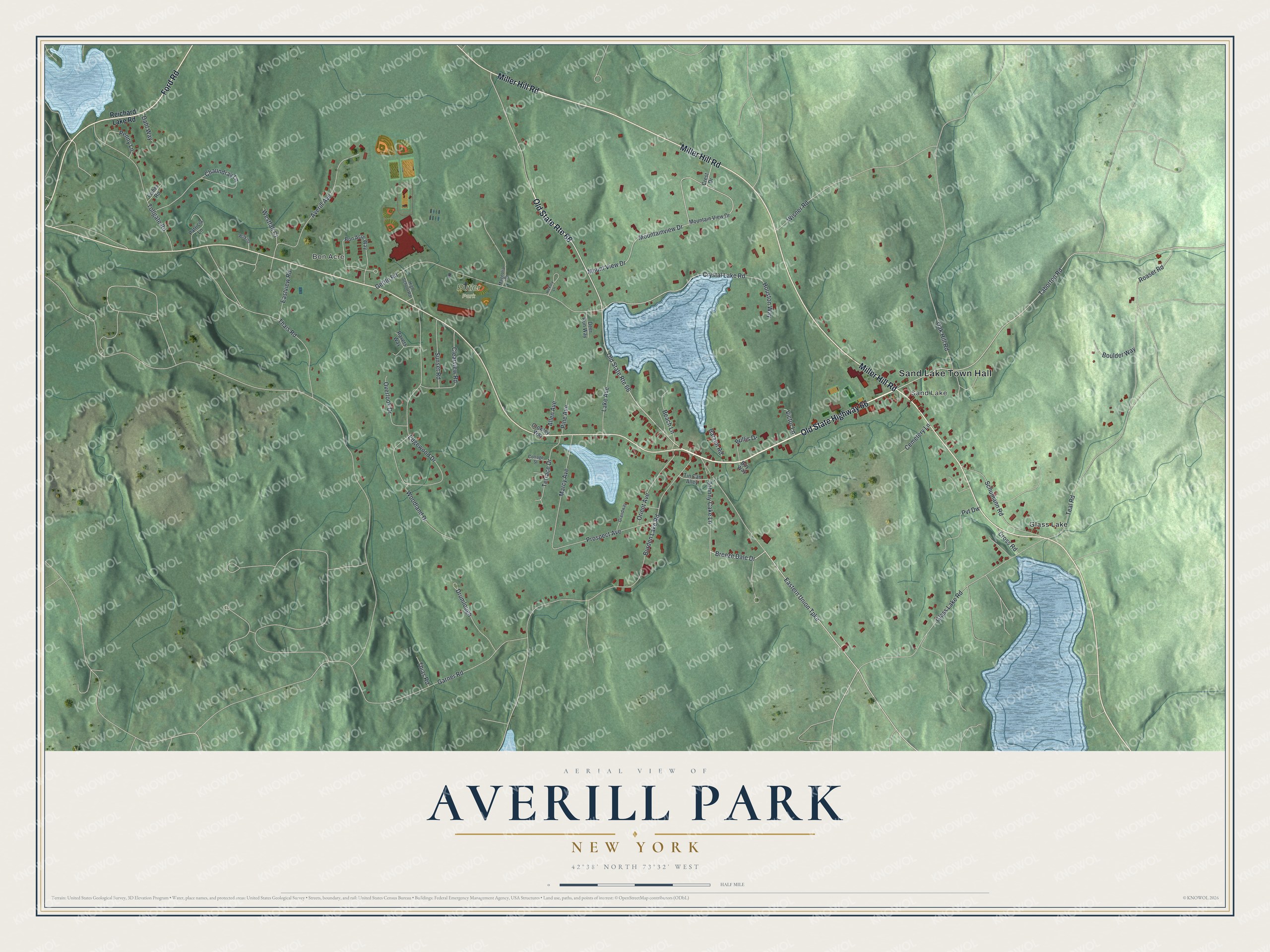
This beautifully detailed map of Averill Park, New York was created in 2026 using aerial imagery combined with modern topographical, census, street and landmark data. It’s a one-of-a-kind view of Averill Park that combines accurate data with a vintage aesthetic. The map shows every building in its true location, many of the roads carry their names, and the shaded topographic relief shows the shape of the land.
Explore an aerial view of Averill Park, New York
On the map you’ll find Sand Lake Town Hall, Bon Acre, Sand Lake, Glass Lake, and Butler Park, along with Miller Hill Road, Ford Road, Reichard Lake Road, Breeze Dale Drive, and more. If you look closely you can even find your house accurately drawn in its correct location. Zoom in on the preview to look for yours.
Did You Know?
Water-powered knitting mills along the Wynants Kill built this hamlet in the 1800s. It was named Averill in 1880 for a leading local family. A river flood in 1891 destroyed the struggling mills. In 1897 the Faith Knitting Company bought and re-equipped the old mills and hired local workers back.
Take a closer look at the Averill Park map
Names on this map
These names are printed on this map.
Places: Sand Lake Town Hall, Bon Acre, Sand Lake, Butler Park and Glass Lake.
Streets and roads: Old State Highway 66, Old State Route 66, Miller Hill Road, Ford Road, Breeze Dale Drive, Taborton Road, Crystal Lake Road, Mountainview Drive, Thais Road, Teal Road, Edgewood Drive, Burden Lake Road.
More street names, A to Z
Allen Avenue, Averill Avenue, Barzen Road, Beach Lane, Bon Acre Way, Boulder Way, Bullis Drive, Buy Way, Cemetery Lane, Chaundray Lane, Clearview Road, Cottage Street, Crest Drive, Cross Road, Crowley Way, Dahl Way, Deer Run Way, Drumlough, Eastern Union Turnpike, Eastview Road, Fisher Road, Garner Road, Gettle Road, Glass Lake Road, Grandway, Hickory Lane, High School Road, Houston Way, Johnny Cake Lane, Lake Avenue, Magnolia Drive, Marcy Avenue, Mountain View Drive, Mount View Drive, Oak Hill Road, Orient Avenue, Overlook Drive, Patricia Lane, Penny Lane, Pine Avenue, Prospect Avenue, Pvt Dw, Ravers Way, Reichard Lake Road, Roaser Road, Schumann Road, Sunset Road, Terrace Drive, Thias Road, Tin Can Alley, Tollgate Road, Victor Lane, Westfall Court, Wilkins, Wisner Road, Woodland Drive.
See it on a wall
The Averill Park map as a framed print. Swipe for more.


This beautifully detailed map of Averill Park makes an attractive addition to your office, library, or den, and it can even be used to teach children the geography and history of the area. It also makes a great gift for anyone who grew up in Averill Park or moved away. When you’re done exploring, click here to get your copy of the Averill Park map.