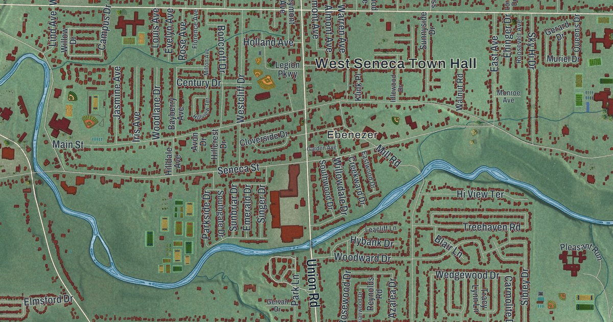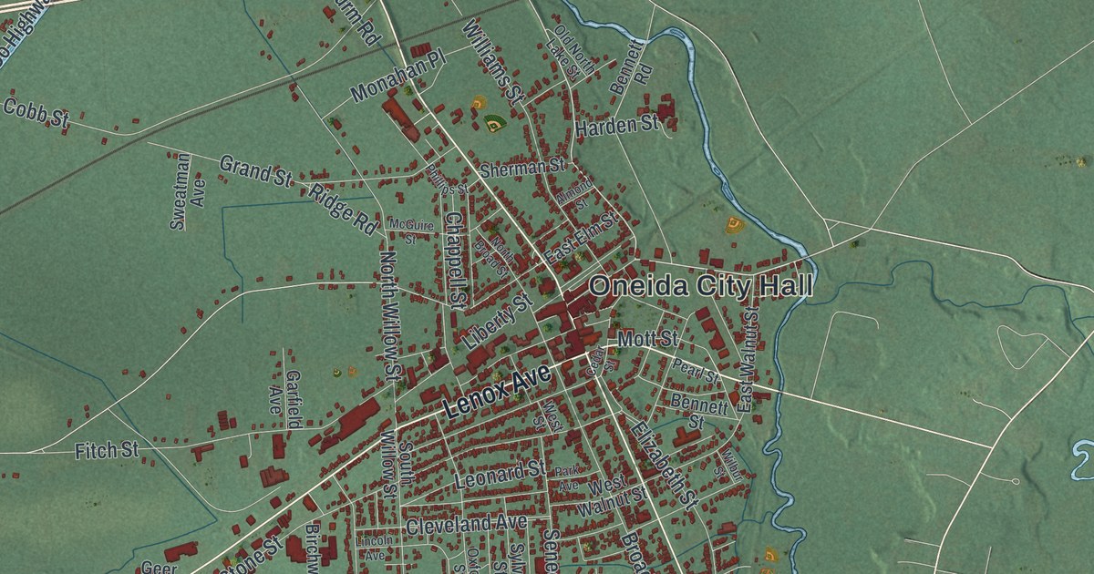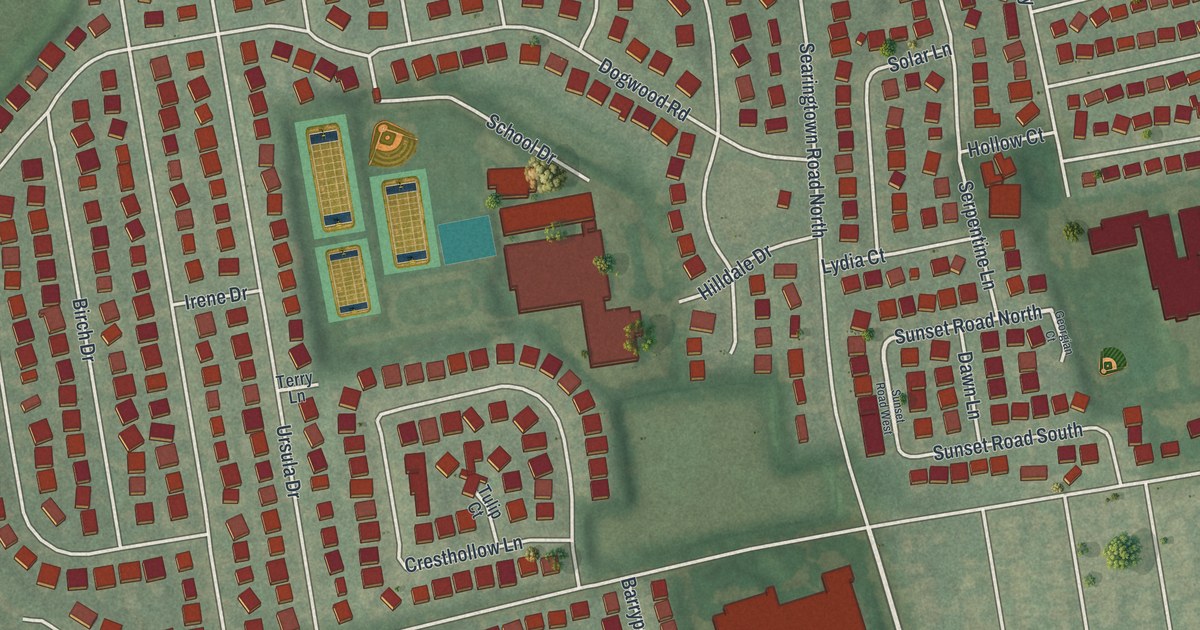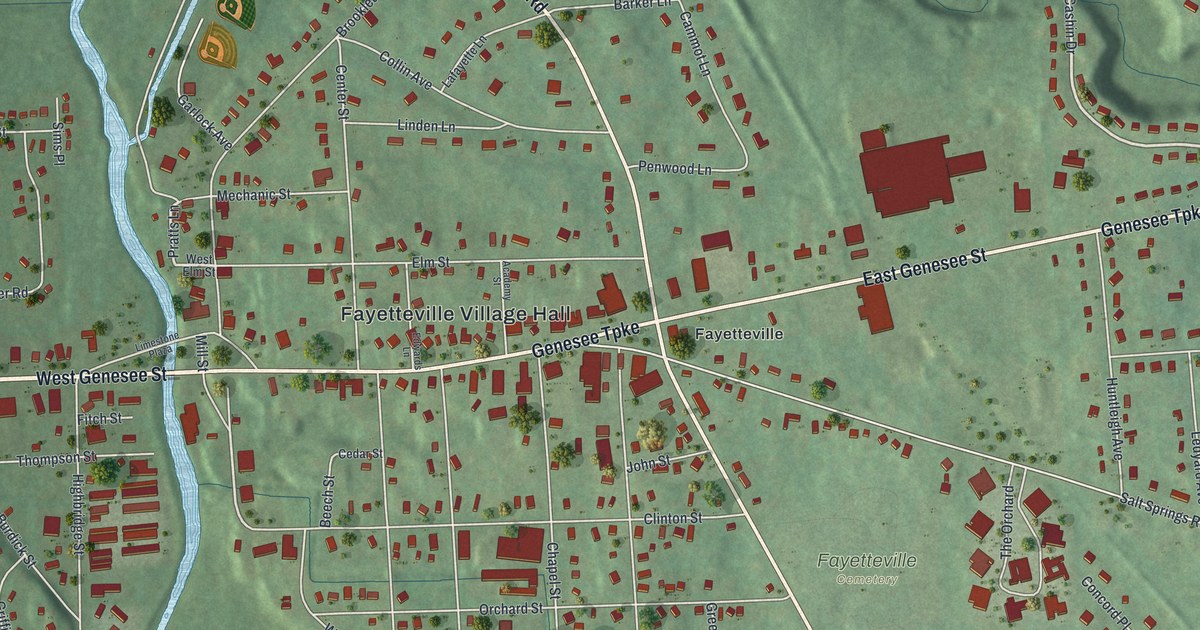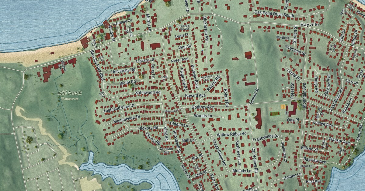
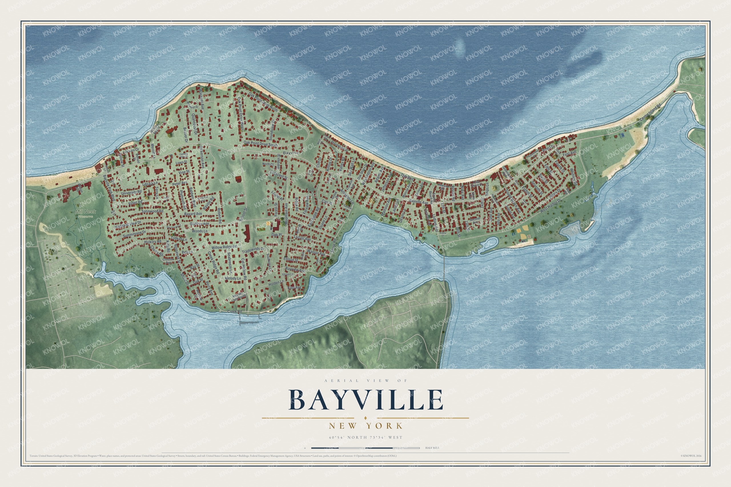
This beautifully detailed map of Bayville, New York was created in 2026 using aerial imagery combined with modern topographical, census, street and landmark data. It’s a one-of-a-kind view of Bayville that combines accurate data with a vintage aesthetic. The map shows every building in its true location, many of the roads carry their names, and the shaded topographic relief shows the shape of the land.
Explore an aerial view of Bayville, New York
On the map you’ll find Mill Neck Preserve, along with Bayville Avenue, Centre Island Road, Shore Road, The Boulevard, Creek Road, and more. If you look closely you can even find your house accurately drawn in its correct location. Zoom in on the preview to look for yours.
Did You Know?
The Matinecock people first lived here, and the land was once called Oak Neck and Pine Island. Daniel Whitehead of Oyster Bay bought it from the tribes in 1658. By 1745 it was split among 23 men, who mostly grew asparagus. Oak Neck was renamed Bayville in 1859.
Take a closer look at the Bayville map
Names on this map
These names are printed on this map.
Places: Mill Neck Preserve and Bayville.
Streets and roads: Bayville Avenue, Centre Island Road, Shore Road, The Boulevard, Creek Road, Locust Avenue, King Road, West Harbor Drive, Mountain Avenue, Perry Avenue, Godfrey Avenue, First Avenue.
More street names, A to Z
14th Street, 15th Street, 16th Street, 17th Street, Adams Avenue, Alan Road, Arlington Lane, Ash Court, August Avenue, Baldwin Boulevard, Bayard Avenue, Bay Beach Avenue, Bay Street, Bayview Avenue, Bayville Park Boulevard, Beaver Drive, Bell Lane, Bud Court, Calendar View Drive, Carr Place, Cat Hollow Road, Cedar Lane, Cherry Road, Cliff Drive, Creek Ridge Road, Crescent Street, Cross Lane, Crosson Avenue, Cross Road, Deans Lane, Dickerson Avenue, Donald Street, Duane Lane, East Avenue, East Shore Drive, East Slope Road, Eighth Street, Ellison Lane, Ellison Street, Farview Avenue, Fifth Street, Finnin Place, First Street, Forest Street, Fourth Street, Franklin Avenue, Garden Street, Greenwich Avenue, Grove Street, Hickory Road, Highland View Drive, Hilary Drive, Hilltop Drive, Holden Lane, Howard Road, Jackson Avenue, Jefferson Avenue, July Avenue, June Avenue, Karen Court, Knollwood Avenue, Laurel Place, Lauren Lane, Leeward Cv, Lewis Street, Library Lane, Ludlam Avenue, Madison Avenue, Meadow Lane, Melody Lane, Melody Lane South, Merritt Lane, Mohring Bay Court, Monroe Avenue, Murray Street, Ninth Street, North Court, Nova Avenue, Oak Place, Oak Point Drive North, Oak Point Drive South, Oak Point Drive West, Oak Shore Drive, Oak Street, Peter Avenue, Pine Lane, Pleasantview Drive, Plymouth Road, Quannacut Drive, Quincy Avenue, Ravine Road, Revillo Road, Ridge Road, Robert Road, Roosevelt Street, Saltaire Lane, Sanzoverino Lane, Satinwood Road, School Street, Seabreeze Lane, Sea Wall Lane, Second Avenue, Seventh Street, Ships Lane, Shore Avenue, Shore Drive, Shorewood Drive, Sixth Street, Snug Cove Lane, Snugcove Lane, Sound Beach Avenue, Sound Beach Road, Soundview Drive, Southview Court, Summitview Drive, Taylor Lane, Terry Lane, Third Street, Tides Court, Tildean Lane, Tradewinds Drive, University Road, Valley Road, Vine Street, Violet Road, Vivona Court, Wansor Avenue, Washington Avenue, Wayaawi Avenue, West Lane, Whitney Road, Willow Ridge Road, Willow Street, Wilson Avenue, Wilson Lane, Woods Lane, Wunaquit Drive.
See it on a wall
The Bayville map as a framed print. Swipe for more.


This beautifully detailed map of Bayville makes an attractive addition to your office, library, or den, and it can even be used to teach children the geography and history of the area. It also makes a great gift for anyone with Bayville roots. When you’re done exploring, click here to get your copy of the Bayville map.