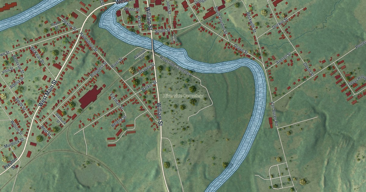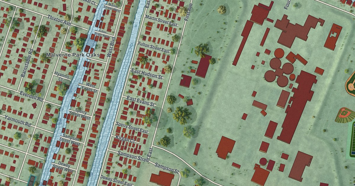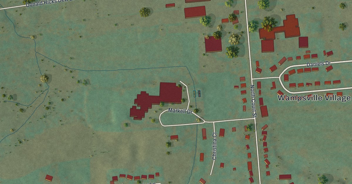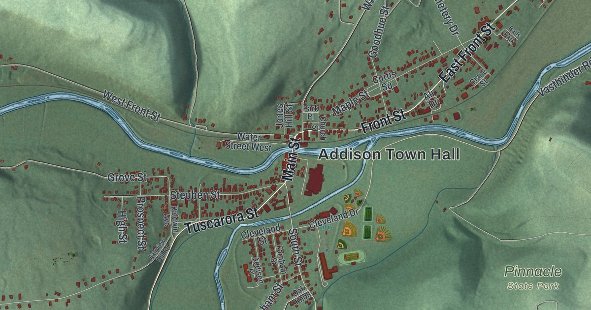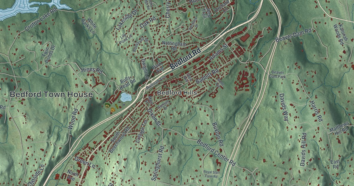
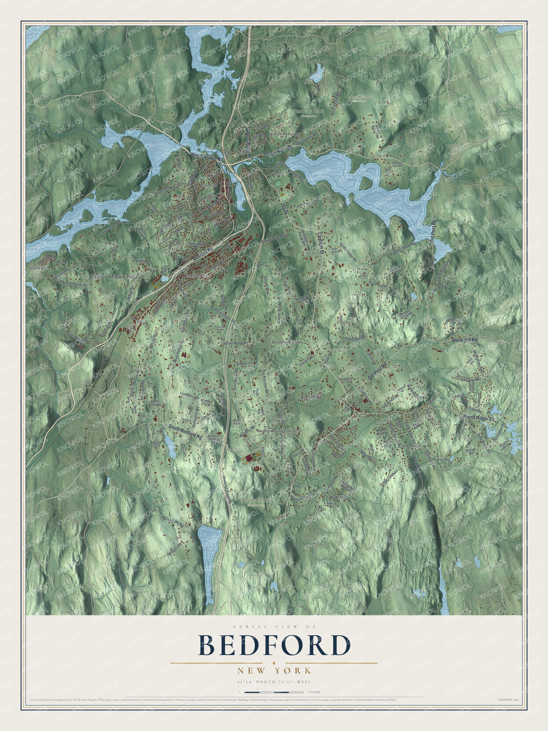
This beautifully detailed map of Bedford, New York was created in 2026 using aerial imagery combined with modern topographical, census, street and landmark data. It’s a one-of-a-kind view of Bedford that combines accurate data with a vintage aesthetic. The map shows every building in its true location, many of the roads carry their names, and the shaded topographic relief shows the shape of the land.
Explore an aerial view of Bedford, New York
On the map you’ll find Bedford Town House, Bedford Center, Bedford Four Corners, Bedford Hills, Katonah, Katonah Ridge, Mount Holly Sanctuary, Ramsay Hunt Preserve, and Westmoreland Sanctuary, along with Old Post Road, Cross River Road, Cantitoe Street, Jay Street, and more. If you look closely you can even find your house accurately drawn in its correct location. Zoom in on the preview to look for yours.
Did You Know?
Bedford began on December 23, 1680. That day 22 Puritans from Stamford, Connecticut, bought a tract three miles square called the Hopp Ground. They bought it from Chief Katonah and other Native Americans. They paid in coats, blankets, wampum and cloth.
Take a closer look at the Bedford map
Names on this map
These names are printed on this map.
Places: Bedford Town House, Mount Holly Sanctuary, Ramsay Hunt Preserve, Westmoreland Sanctuary, Bedford Center, Bedford Four Corners, Bedford Hills, Katonah, Katonah Ridge, Stanwood and Beaver Dam Park.
Streets and roads: Old Post Road, Cross River Road, Cantitoe Street, Jay Street, Bedford Road, South Bedford Road, Pound Ridge Road, Woodsbridge Road, Stone Hill Road, Guard Hill Road, Maple Avenue, Springhurst Road.
More street names, A to Z
Adams Street, Alice Road, Allison Road, Ambler Drive, Anderson Road, Appleby Drive, Aspetong Road, Babbitt Road, Baldwin Road, Barrett Road, Barry Court, Bayberry Lane, Baylis Lane, Beaver Dam Road, Bedford Center Road, Birch Drive, Bisbee Lane, Bishop Road, Black Brook Road, Brady Road, Brett Lane, Broad Brook Road, Brook Farm Lane, Brook Farm Road, Brundage Ridge Road, Bulls Head Road, Buxton Road, Byram Lake Road, Capricorn Lane, Captain Theale Road, Cedar Road, Charles Road, Cherry Ridge Road, Cherry Street, Chestnut Ridge Road, Christopher Road, Clark Road, Cliffield Road, Cliffside Lane, Clinton Road, Cottage Terrace, Court Road, Croton Lake Road, Crusher Road, Darlington Road, Davids Hill Road, Davids Way, Deepwood Road, Deer Knoll, Dixon Street, Dwight Lane, East Field Drive, East Lake Drive, East Road, Edgemont Road, Ferris Lane, Fox Lane, Garlen Road, Girdle Ridge Drive, Girdle Ridge Road, Glen Avenue, Goldens Bridge Road, Gordon Avenue, Green Lane, Greenwich Road, Grove Road, Haines Road, Harris Road, Heron Lake Drive, Hickory Lane, Hickory Road, Hines Road, Holly Branch Road, Holmes Lane, Hook Road, Horizon Lane, Hoyes Lane, Huntville Road, Indian Hill Road, Ivy Place, Jeep Trail, Jingle Lane, John Cross Road, Katonah Avenue, Katonah Woods Road, Kelly Circle, Lakeside Drive, Lakeside Road, Leage Farm Road, Lily Pond Lane, Linden Lane, Little Town Lane, Locust Drive, Long Ridge Road, Loop Road, Lounsberry Road, Lyon Ridge Road, Main Street, Matthews Hill Road, McLain Road, McLain Street, Mc Lain Street, Meadow Brook Road, Meadow Lane, Meeting House Road, Mianus Bluff Drive, Mianus River Road, Middle Patent Road, Millbrook Road, Millers Mill Road, Millertown Road, Mount Holly Road, Mustato Road, Norm Avenue, North Road, North Salem Road, North Street, Nottingham Road, Oak Road, Old Corner Road, Old Cross River Road, Old Deer Park Road, Old Katonah Drive, Old Wagon Road, Oliver Road, Orchard Lane, Oregon Road, Overlook Drive, Park Avenue, Pea Pond Road, Penwood Road, Pine Brook Road, Pine Hill Drive, Pines Bridge Road, Pleasant Street, Quarry Lane, Quicks Lane, Railroad Avenue, Reservoir Road, Reyburn Drive, Reynolds Lane, Ridge Road, Rock Gate Farm Road, Rock Hill Road, Rome Avenue, Roosevelt Drive, Royal Starr Farm Road, Sarles Street, Schildbach Road, Seminary Road, Snyders Hill Road, South Beechwood Road, South Road, Stamford Road, Stone Paddock Place, Succabone Road, Sunset Drive, Tall Pines Lane, Tarleton Road, The Farms Road, The Narrows Road, Trudy Lane, Tucker Road, Twin Lakes Drive, Twin Ponds Drive, Upland Road North, Upper Hook Road, Valley Road, Vinton Avenue, Wakan Drive, Watermark Road, West Circle, West Patent Road, Westview Drive, White Barks Lane, Whitlockville Road, Wildwood Road, Wood Road.
See it on a wall
The Bedford map as a framed print. Swipe for more.


This beautifully detailed map of Bedford makes an attractive addition to your office, library, or den, and it can even be used to teach children the geography and history of the area. It also makes a great gift for someone who left Bedford and still calls it home. When you’re done exploring, click here to get your copy of the Bedford map.