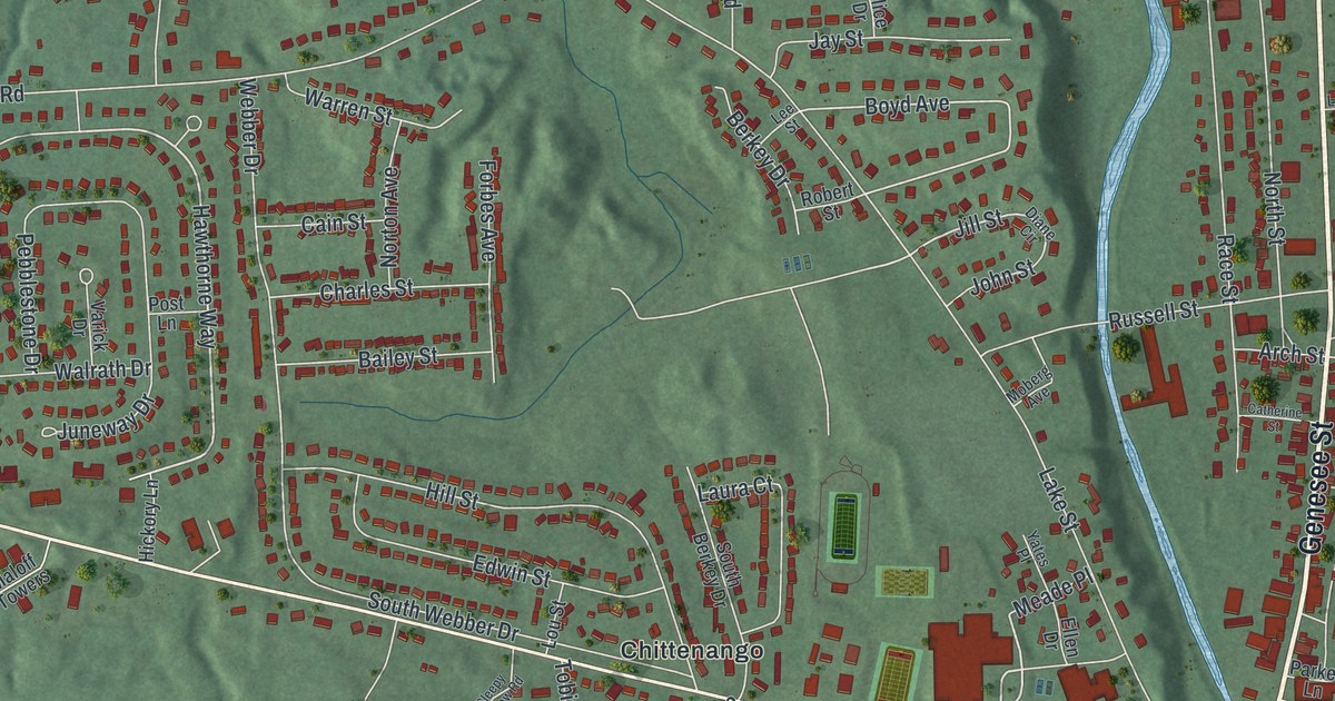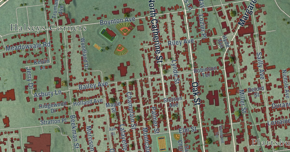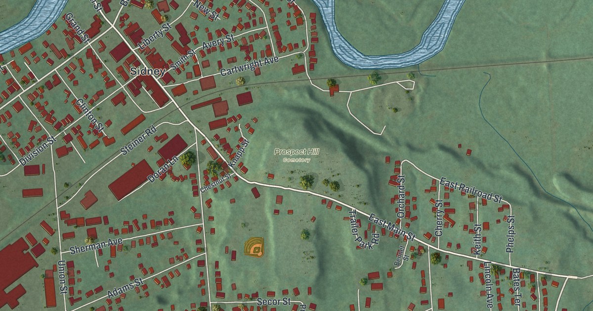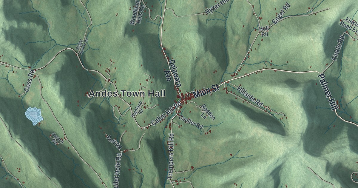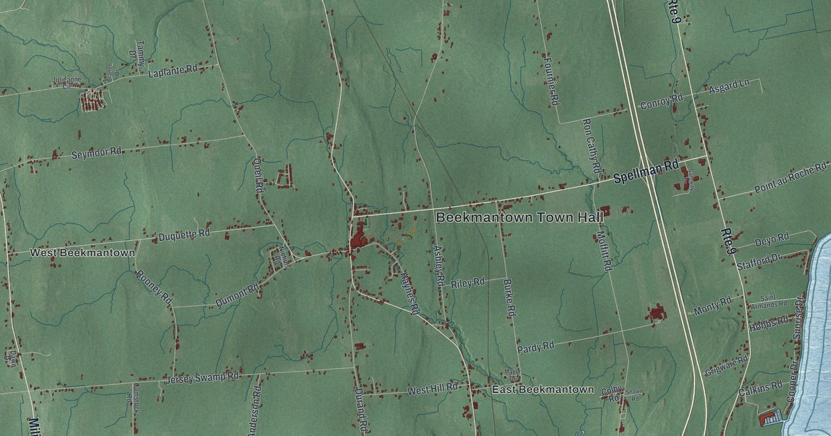
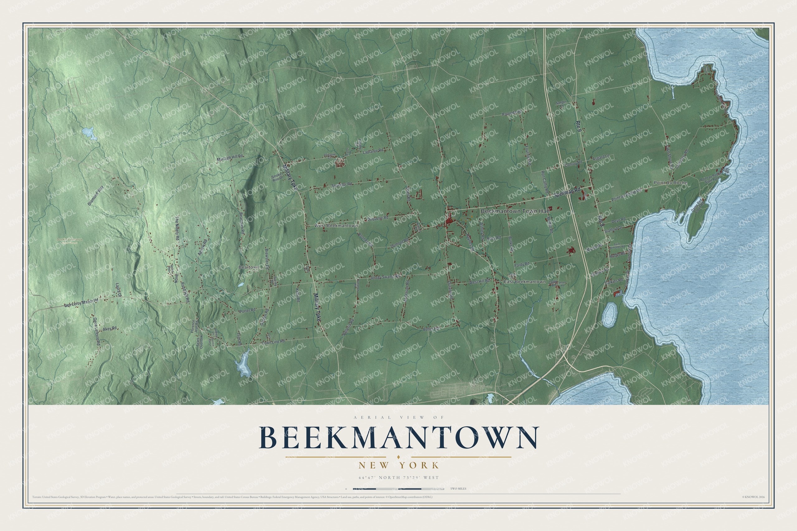
This beautifully detailed map of Beekmantown, New York was created in 2026 using aerial imagery combined with modern topographical, census, street and landmark data. It’s a one-of-a-kind view of Beekmantown that combines accurate data with a vintage aesthetic. The map shows every building in its true location, many of the roads carry their names, and the shaded topographic relief shows the shape of the land.
Explore an aerial view of Beekmantown, New York
On the map you’ll find Beekmantown Town Hall, Beartown, East Beekmantown, Point Au Roche, West Beekmantown, and Dunkin’s Reserve State Forest, along with Military Turnpike, Spellman Road, Point au Roche Road, Golden Road, and more. If you look closely you can even find your house accurately drawn in its correct location. Zoom in on the preview to look for yours.
Did You Know?
Beekmantown carries the name of William Beekman, one of the original landowners. Settlers first arrived around 1783. The town was formed from part of Plattsburgh in 1820.
Take a closer look at the Beekmantown map
Names on this map
These names are printed on this map.
Places: Beekmantown Town Hall, Dunkin's Reserve State Forest, Beartown, East Beekmantown, Point Au Roche, West Beekmantown and Point au Roche State Park.
Streets and roads: Route 9, Military Turnpike, Spellman Road, Point au Roche Road, Golden Road, Beartown Road, Lake Shore Road, Jersey Swamp Road, Rand Hill Road, Ashley Road, Gen Leroy Manor Road, Moffitt Road.
More street names, A to Z
Agnew Road, Akey Road, Anderson Road, Asgard Lane, Branon Drive, Brewster Road, Burke Road, Butler Road, Calkins Road, Camp Red Cloud Road, Carls Place, Cedar Ledge Lane, Cemetery Road, Colby Road, Comstock Road, Conroy Road, Cooper Drive, Dawn Drive, Deyo Road, Diamond Way, Dickson Point Road, Dumont Road, Duquette Road, Durand Road, Florence Jean Lane, Florence Jean Road, Fournier Road, Gateway Drive, Gene Lefevre Road, Grigware Road, Haynes Road, Hobbs Road, Julieanne Circle, Kelly Road, Laplante Road, Laura Drive, Lizzies Lane, Manor Drive, Monty Road, Murtagh Hill Road, Nichols Road, None, Oneil Road, Pardy Road, Patnode Road, Pellerin Road, Porter Road, Riley Road, Ron Cathy Road, Rooney Road, Saint Armands Road, Sanger Lane, Sears Overlook, Seymour Road, Shawn Road, Smoke Rise Drive, Spring Run, Stafford Drive, Sunrise Drive, Surrey Drive, Tammy Drive, The Ninety Road, Town Line Road, Trim Road, West Hill Road.
See it on a wall
The Beekmantown map as a framed print. Swipe for more.


This beautifully detailed map of Beekmantown makes an attractive addition to your office, library, or den, and it can even be used to teach children the geography and history of the area. It also makes a great gift for someone who left Beekmantown and still calls it home. When you’re done exploring, click here to get your copy of the Beekmantown map.