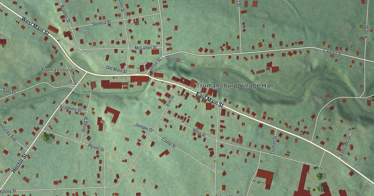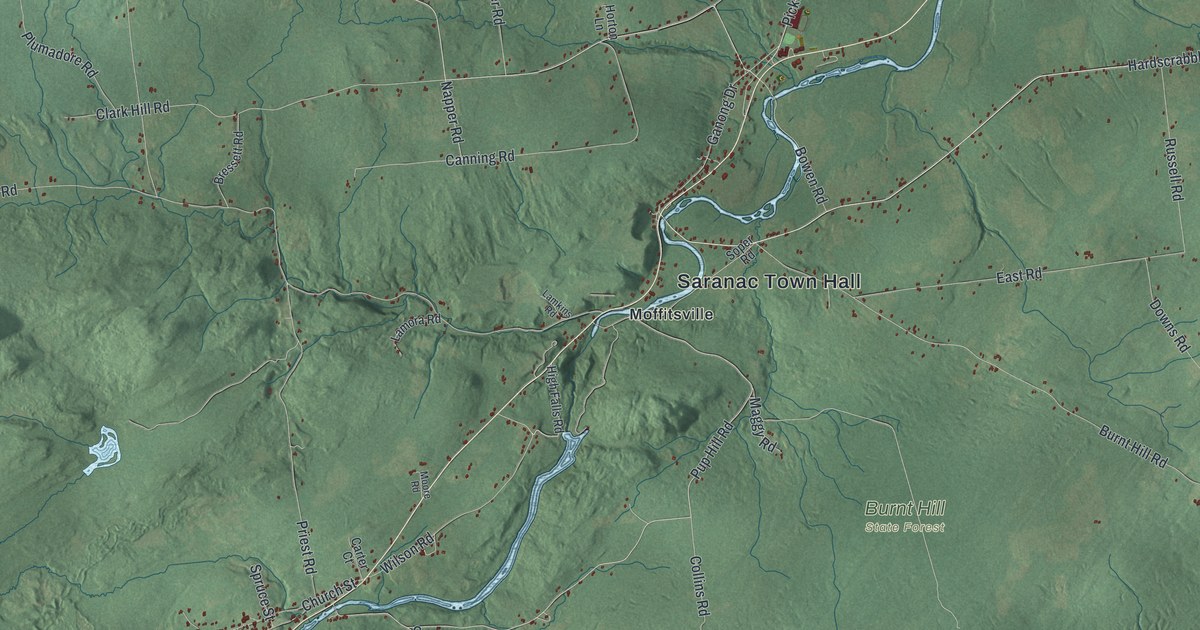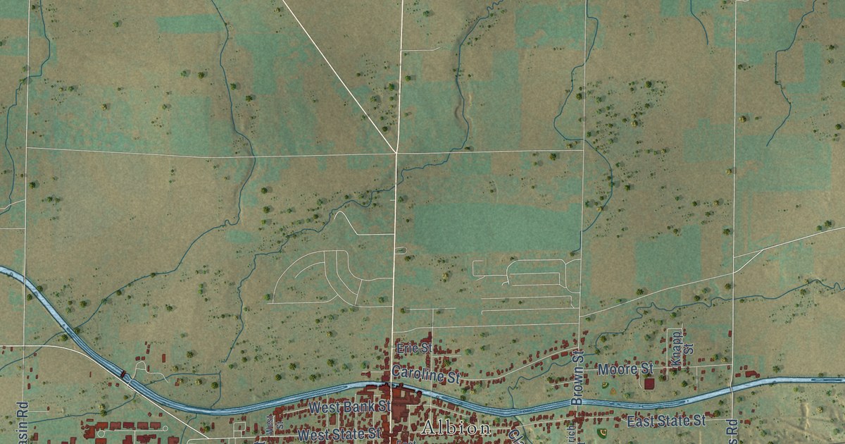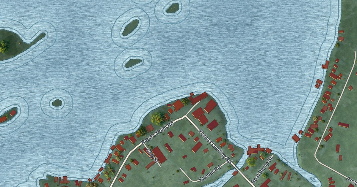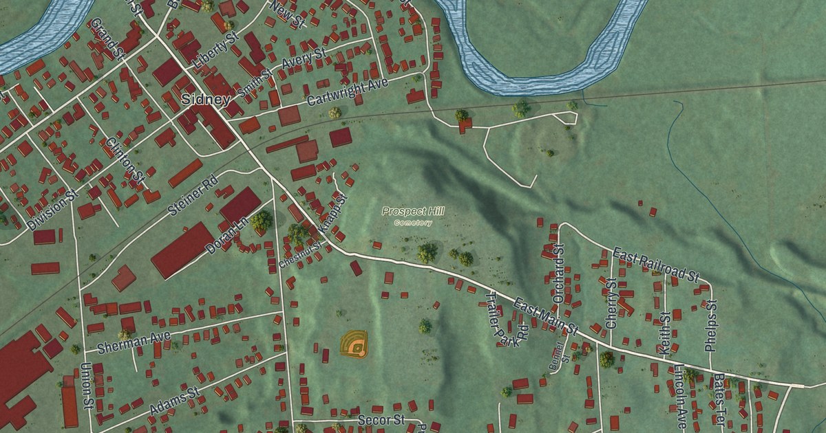
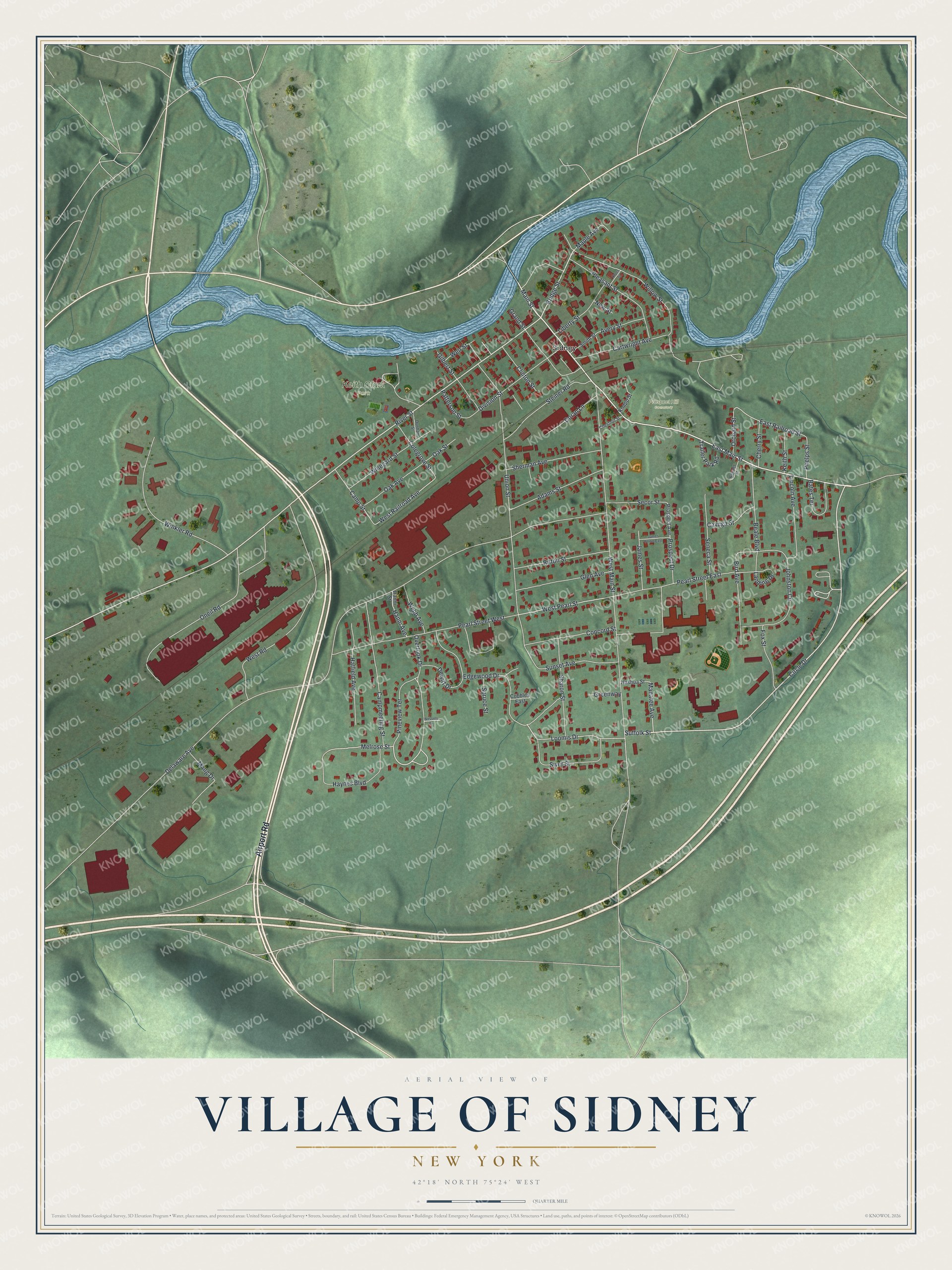
This beautifully detailed map of the Village of Sidney, New York was created in 2026 using aerial imagery combined with modern topographical, census, street and landmark data. It’s a one-of-a-kind view of the Village of Sidney that combines accurate data with a vintage aesthetic. The map shows every building in its true location, many of the roads carry their names, and the shaded topographic relief shows the shape of the land.
Explore an aerial view of the Village of Sidney, New York
On the map you’ll find Keith Clark Park and Prospect Hill Cemetery, along with Airport Road, Circle Drive, Bridge Street, River Street, Main Street, and more. If you look closely you can even find your house accurately drawn in its correct location. Zoom in on the preview to look for yours.
Did You Know?
In 1771, Rev. William Johnston, a Presbyterian minister born in Dublin, Ireland, bought this land from Goldsboro Banyar of Albany. The place was called the Johnston settlement until 1801. It was then renamed Sidney, after Admiral Sir Sidney Smith.
Take a closer look at the Village of Sidney map
Names on this map
These names are printed on this map.
Places: Keith Clark Park, Prospect Hill Cemetery and Sidney.
Streets and roads: Airport Road, Circle Drive, Bridge Street, River Street, East Main Street, Main Street, Suffolk Street, Overlook Drive, Melrose Street, Manatee Avenue, West Pearl Street, West Railroad Avenue.
More street names, A to Z
Adams Street, Avery Street, Bates Terrace, Beale Boulevard, Bennet Street, Bird Avenue, Campmeeting Street, Camp Street, Cartwright Avenue, Cayuga Street, Cherry Street, Chestnut Street, Clinton Street, Cobbles East, Colegrove Street, Concord Street, Cross Street, Delaware Avenue, Dewitt Drive, Division Street, Doran Lane, Dunham Street, East Railroad Street, Edgewood Drive, Fox Street, Gilbert Street, Glen Avenue, Grand Street, Greenway, Hanni Avenue, Hanni Street, Hatfield Avenue, Haynes Boulevard, James Street, James Street East, Johnston Circle, Keith Street, Knapp Street, Landing Drive, Liberty Street, Lincoln Avenue, Loomis Drive, Mang Drive, Maple Avenue, Nashua Street, New Street, Oak Avenue, Oak Street, Oneil Road, Orchard Street, Patterson Street, Pearl Street East, Pearl Street West, Phelps Street, Pineview Terrace, Pleasant Street, Prospect Avenue, Prospect Drive, Ritton Street, Secor Street, Seneca Street, Sharon Street, Sherman Avenue, Siver Street, Smith Street, Spruce Street, Steiner Road, Sunset Avenue, Trailer Park Road, Union Street, Webb Avenue, Weir Street, Wessels Drive, West Main Street, West Road, Willow Street, Winegard Street, Winkler Road.
See it on a wall
The Sidney map as a framed print. Swipe for more.


This beautifully detailed map of the Village of Sidney makes an attractive addition to your office, library, or den, and it can even be used to teach children the geography and history of the area. It also makes a great gift for someone who left the Village of Sidney and still calls it home. When you’re done exploring, click here to get your copy of the Village of Sidney map.