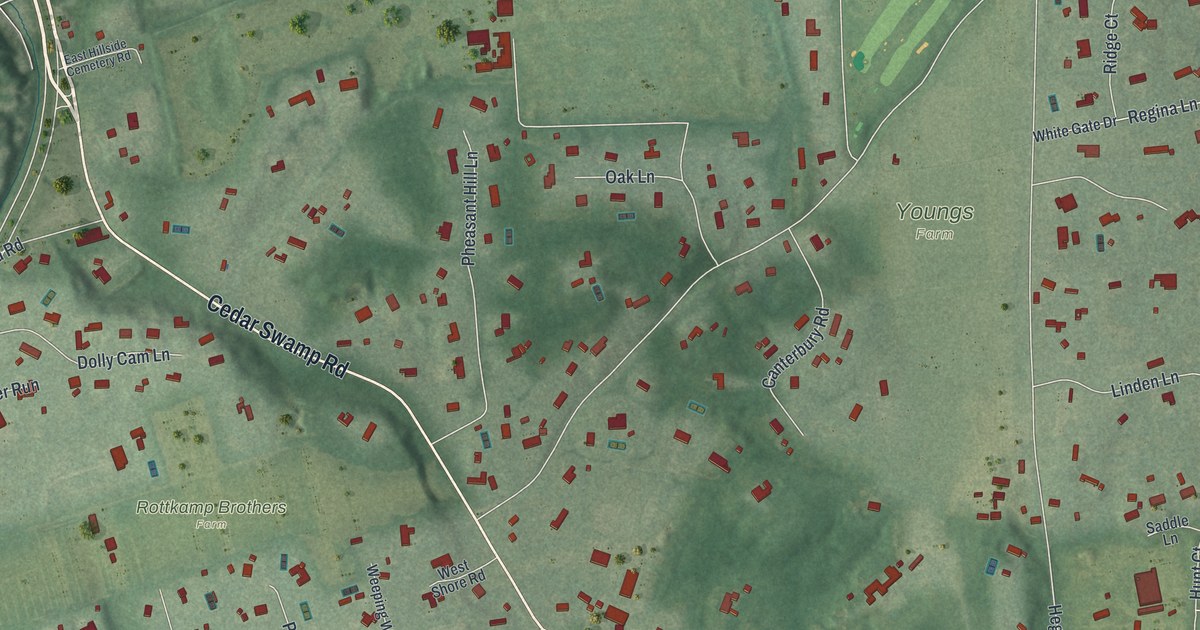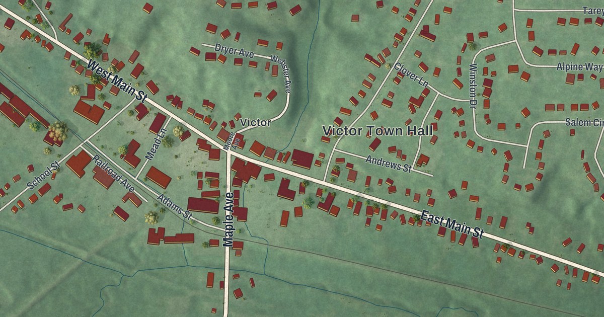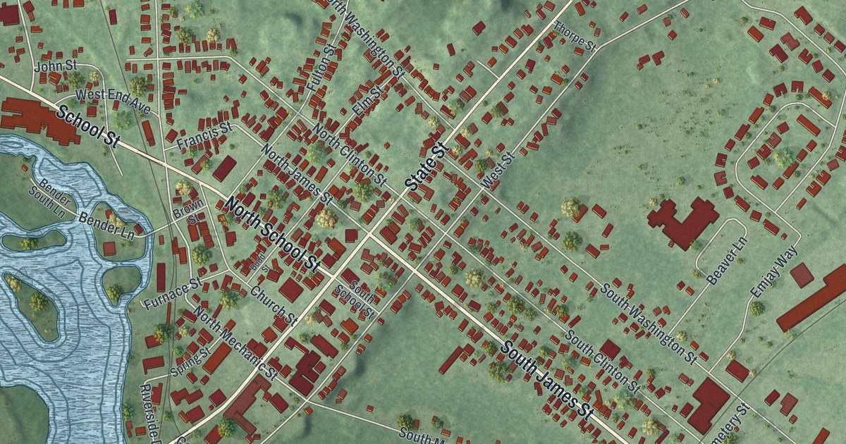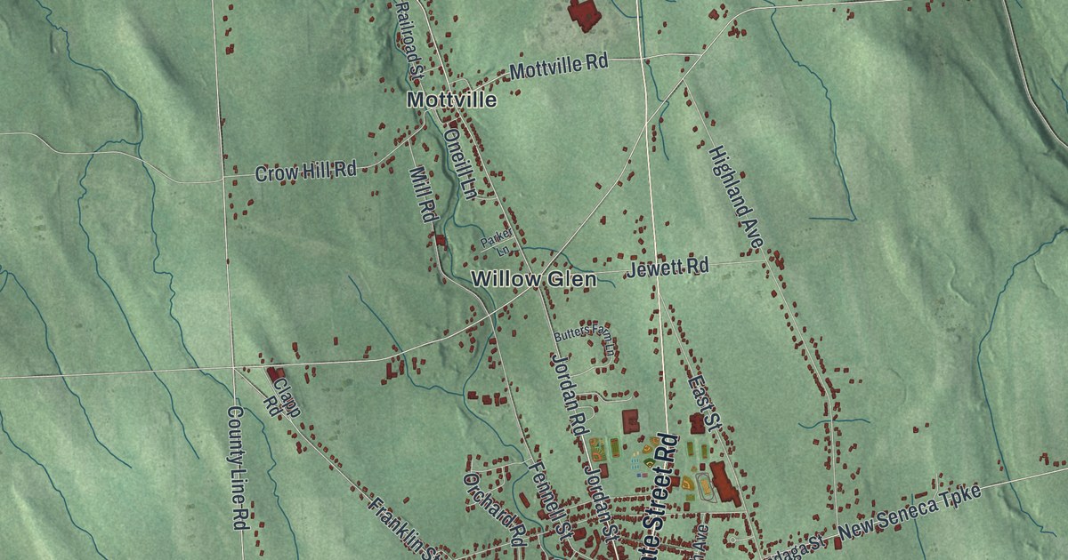
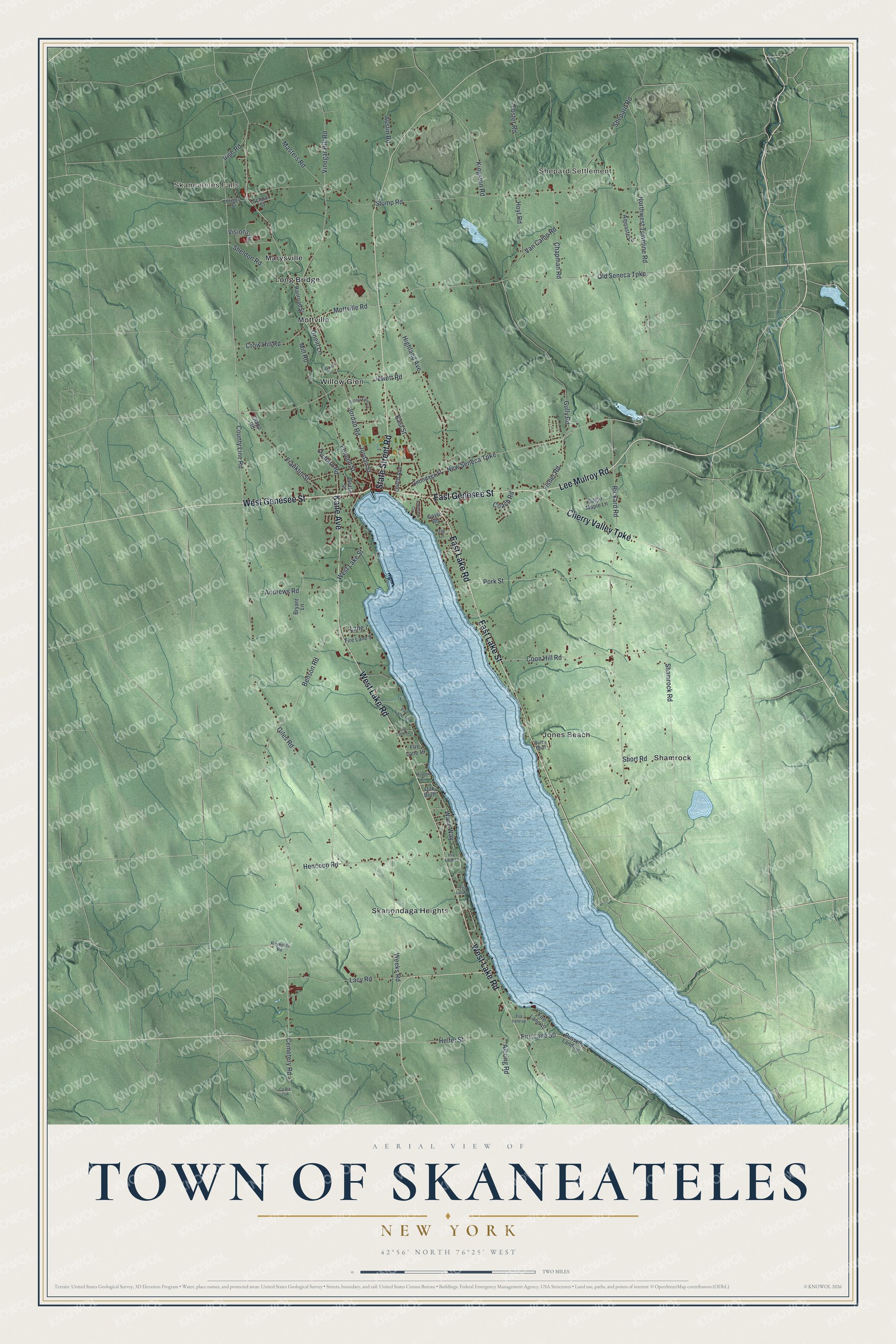
This beautifully detailed map of the Town of Skaneateles, New York was created in 2026 using aerial imagery combined with modern topographical, census, street and landmark data. It’s a one-of-a-kind view of the Town of Skaneateles that combines accurate data with a vintage aesthetic. The map shows every building in its true location, many of the roads carry their names, and the shaded topographic relief shows the shape of the land.
Explore an aerial view of the Town of Skaneateles, New York
On the map you’ll find Skaneateles Falls, Shepard Settlement, Jones Beach, Long Bridge, and Marysville, along with Genesee Street, Lee Mulroy Road, Lake Road, Lake Street, Kane Avenue, and more. If you look closely you can even find your house accurately drawn in its correct location. Zoom in on the preview to look for yours.
Did You Know?
Skaneateles takes its name from an Onondaga word for the nearby lake that means long lake. Before the Civil War its Quakers worked against slavery, and Underground Railroad sites are known in town. The early historian Beauchamp wrote that Skaneateles outdid Syracuse as an anti-slavery town.
Take a closer look at the Town of Skaneateles map
Names on this map
These names are printed on this map.
Places: Skaneateles Falls, Shepard Settlement, Jones Beach, Long Bridge, Marysville, Mottville, Shamrock, Skanondaga Heights and Willow Glen.
Streets and roads: East Genesee Street, Lee Mulroy Road, West Genesee Street, West Lake Road, State Street Road, East Lake Street, Cherry Valley Turnpike, Kane Avenue, East Lake Road, Jordan Street, Jordan Road, New Seneca Turnpike.
More street names, A to Z
Albring Road, Amnaste Lane, Andrews Road, Austin Road, Benson Road, Bryant Lane, Buff's Bluff, Butters Farm Lane, Cemetery Road, Chapman Road, Clapp Road, Coach Road, Coon Hill Road, County Line Road, Crow Hill Road, Day Lane, East Street, Fennell Street, Fire Lane 9, Fire Lane 16, Fire Lane 17, Fire Lane 19, Fire Lane 33, Fire Lane 36, Fire Lane 48, Fire Lane 49, Fire Lane 50, Fisher Road, Foster Road, Franklin Street, Gayle Road, Giles Road, Griffin Street, Gully Road, Heifer Street, Hencoop Road, Highland Avenue, Hoyt Road, Irish Road, Jewett Road, Kingston Road, Lacy Road, Lakeview Circle, Lane 7, Leitch Avenue, Masters Road, Mill Road, Minnow Cv, Mottville Road, Northwest Townline Road, Oak Bluff, Old Seneca Turnpike, Oneill Lane, Onondaga Street, Orchard Road, Parker Lane, Philips Street, Pork Street, Railroad Street, Reynolds Road, Rickard Road, Russells Landing, School Street, Shamrock Road, Sheldon Road, Shepard Road, Short Road, Stump Road, Sugar Maple Lane, Van Camp Road, Vinegar Hill Road, Visions Drive, Wave Way, Weeks Road, West Lake Street.
See it on a wall
The Skaneateles map as a framed print. Swipe for more.


This beautifully detailed map of the Town of Skaneateles makes an attractive addition to your office, library, or den, and it can even be used to teach children the geography and history of the area. It also makes a great gift for someone who left the Town of Skaneateles and still calls it home. When you’re done exploring, click here to get your copy of the Town of Skaneateles map.