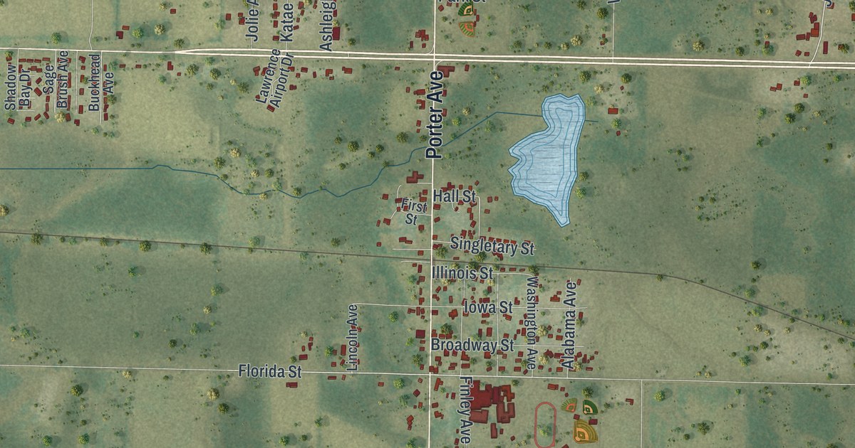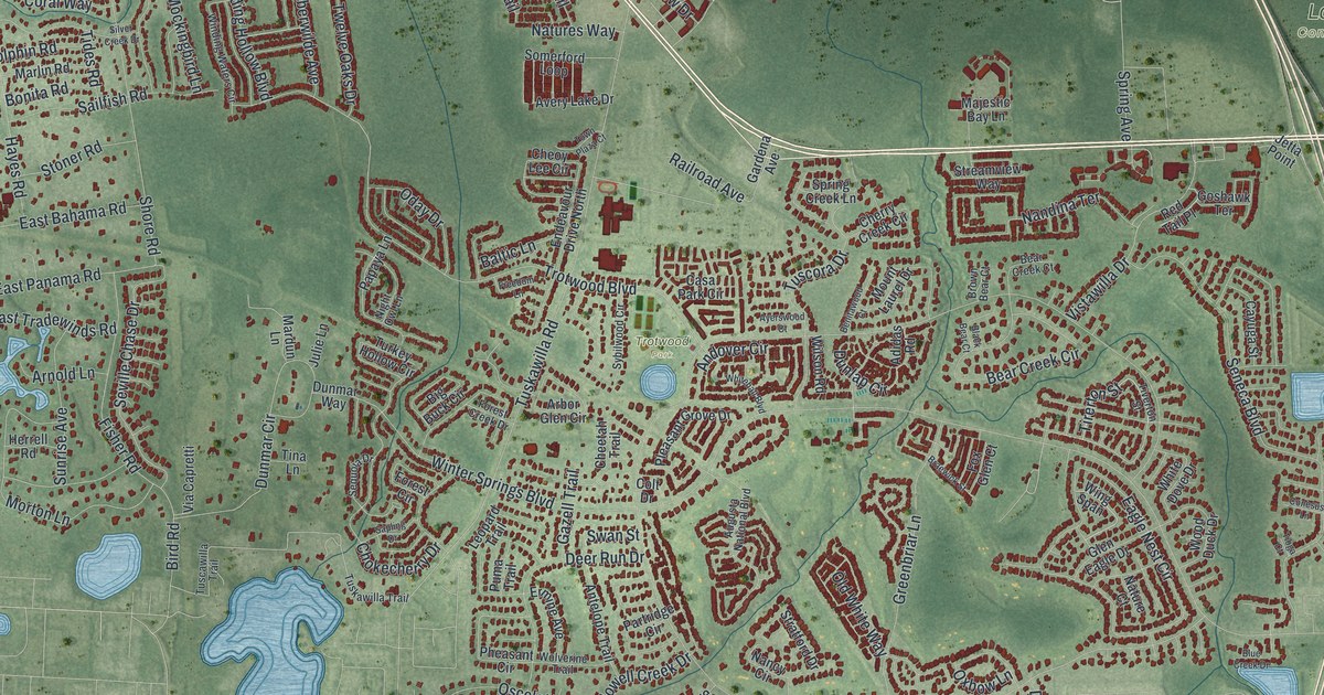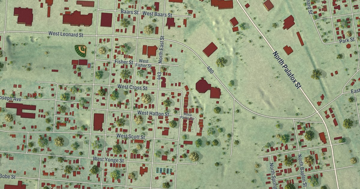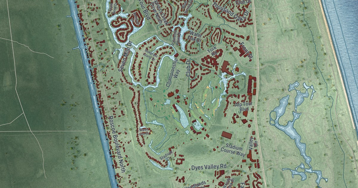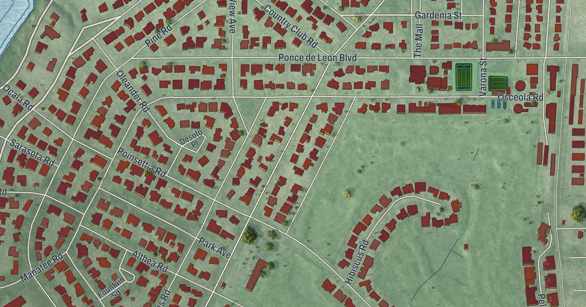
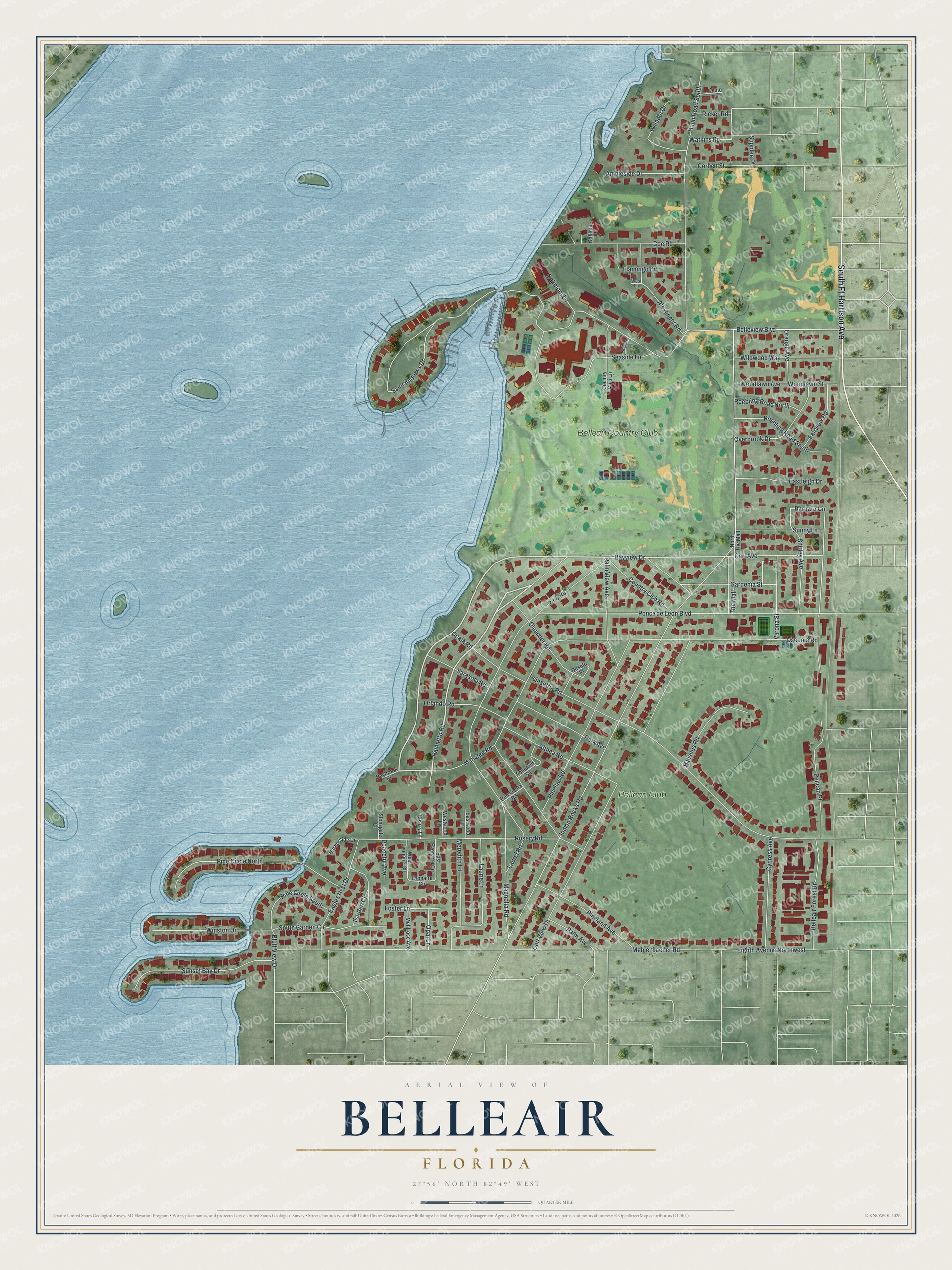
This beautifully detailed map of Belleair, Florida was created in 2026 using aerial imagery combined with modern topographical, census, street and landmark data. It’s a one-of-a-kind view of Belleair that combines accurate data with a vintage aesthetic. The map shows every building in its true location, many of the roads carry their names, and the shaded topographic relief shows the shape of the land.
Explore an aerial view of Belleair, Florida
On the map you’ll find Belleair Country Club and Pelican Club, along with South Ft Harrison Avenue, Bayview Drive, Palmetto Road, Manatee Road, Watkins Road, Gardenia Street, Barbara Circle, Alexander Road, Indian Rocks Road, Ponce de Leon Boulevard, and more. If you look closely you can even find your house accurately drawn in its correct location. Zoom in on the preview to look for yours.
Did You Know?
Belleair began in 1896 as a planned resort town. Railroad tycoon Henry B. Plant built the Belleview Hotel there. The early community, called Belleair Heights, had a few dozen homes and a 200-seat coliseum for bicycle races and political rallies.
Take a closer look at the Belleair map
Names on this map
These names are printed on this map.
Places: Belleair Country Club and Pelican Club.
Streets and roads: South Ft Harrison Avenue, Bayview Drive, Palmetto Road, Manatee Road, Watkins Road, Gardenia Street, Barbara Circle, Alexander Road, Indian Rocks Road, Ponce de Leon Boulevard, Mehlenbacher Road, Osceola Road.
More street names, A to Z
Althea Road, Ambleside Drive, Baybrook Place, Belleair Forest Drive, Belleview Boulevard, Bluff View Drive, Carl Avenue, Coe Road, Corbett Street, Country Club Lane, Country Club Road, Cypress Avenue, Desoto Place, Druid Place, Druid Road South, Eagles Nest Drive, East Evonaire Circle, Eastleigh Drive, Eastwood Lane, Eighth Avenue Northwest, Evonaire Circle, Fairview Road, Flamingo Drive, Foster Lane, Fountain Square, Gallinule Place, Garden Circle, Golf View Drive, Harborside Drive, Hibiscus Lane, Hibiscus Road, Laurel Road, Laurie Lane, Magnolia Road, Mehlrose Avenue, Meredith Lane, North The Mall, Oakmont Lane, Ocala Road, Oleander Road, Opal Lane, Orange Avenue, Orlando Road, Overbrook Drive, Palm Avenue, Palm View Avenue, Park Avenue, Peaceful Avenue, Pelican Place, Pensacola Road, Pine Circle North, Pine Circle South, Pineland Avenue, Pinellas Road, Pine Road, Poinsettia Road, Ricker Road, Roebling Road North, Roebling Road South, Rosery Lane, Rosery Road, Saint Andrews Drive, Sarasota Road, Seaside Lane, Shirley Avenue, South Garden Circle, Stonegate Drive, Sunny Lane, Sunset Bay Drive, Supplee Place, The Mall, Varona Street, West Evonaire Circle, West Lane, Westwood Lane, Wildwood Way, Willadel Drive, Winston Drive, Woodlawn Avenue, Woodlawn Street.
See it on a wall
The Belleair map as a framed print. Swipe for more.


This beautifully detailed map of Belleair makes an attractive addition to your office, library, or den, and it can even be used to teach children the geography and history of the area. It also makes a great gift for anyone who grew up in Belleair or moved away. When you’re done exploring, click here to get your copy of the Belleair map.