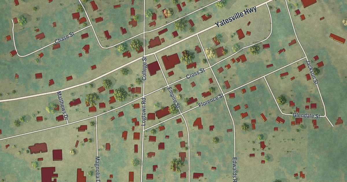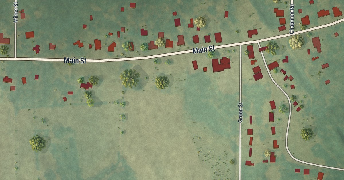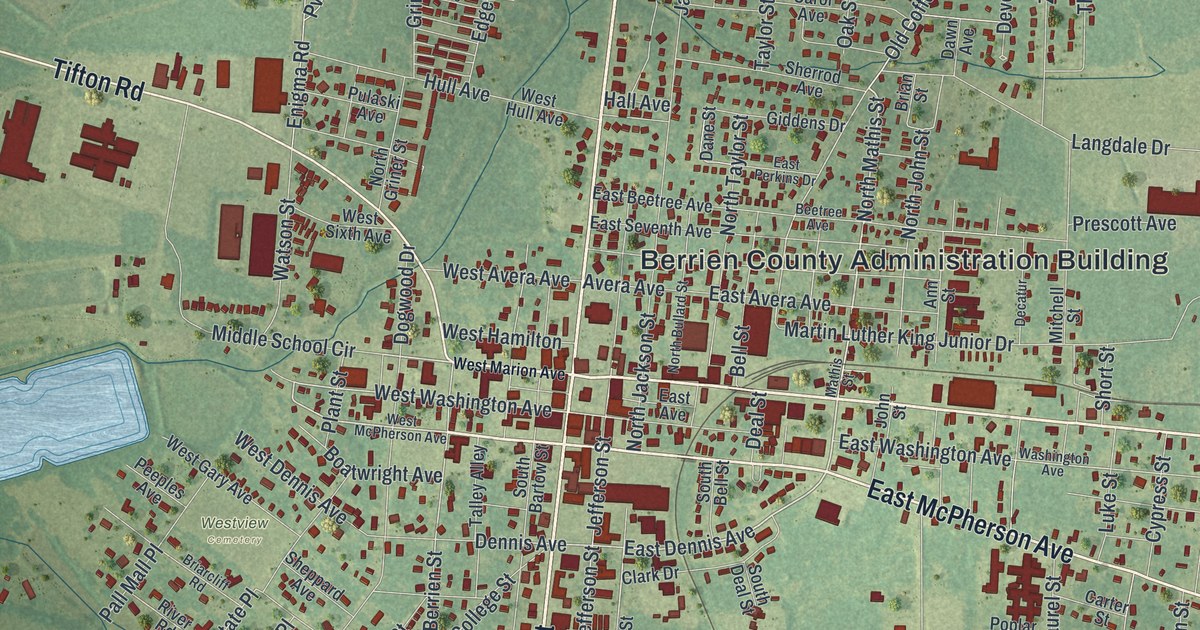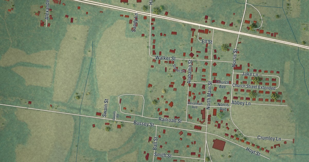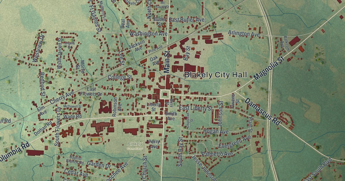
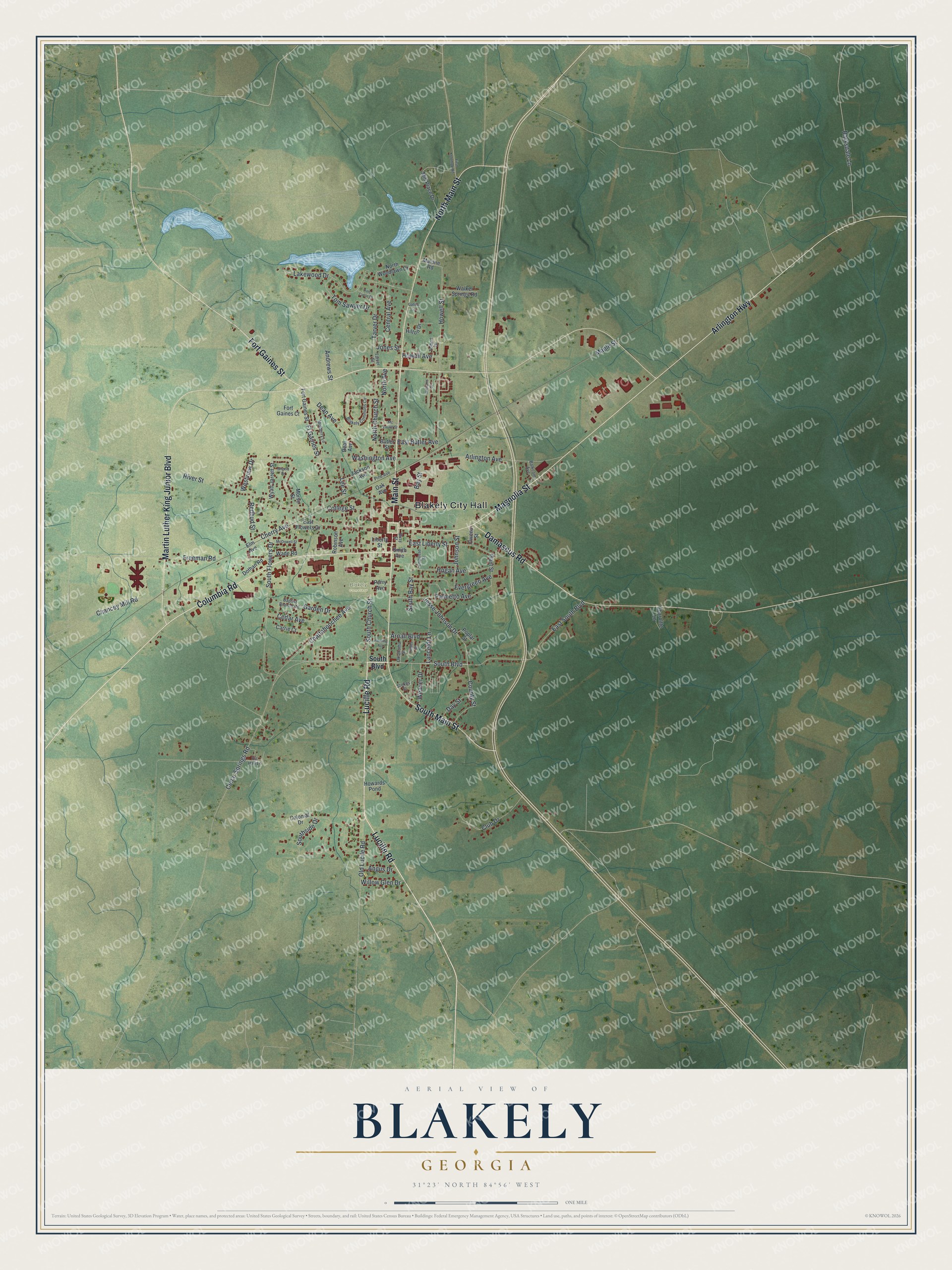
This beautifully detailed map of Blakely, Georgia was created in 2026 using aerial imagery combined with modern topographical, census, street and landmark data. It’s a one-of-a-kind view of Blakely that combines accurate data with a vintage aesthetic. The map shows every building in its true location, many of the roads carry their names, and the shaded topographic relief shows the shape of the land.
Explore an aerial view of Blakely, Georgia
On the map you’ll find Blakely City Hall, along with Lucille Road, Main Street, Columbia Road, Martin Luther King Junior Boulevard, and more. If you look closely you can even find your house accurately drawn in its correct location. Zoom in on the preview to look for yours.
Did You Know?
Blakely, the seat of Early County, was named for Captain Johnston Blakely. He was a naval officer in the War of 1812 and commanded the Wasp. His ship harassed English commerce more than any other single vessel. Then the Wasp vanished at sea. That’s from the 1940 WPA guide to Georgia.
Take a closer look at the Blakely map
Names on this map
These names are printed on this map.
Places: Blakely City Hall and Blakely Cemetery.
Streets and roads: Lucille Road, Main Street, Columbia Road, Martin Luther King Junior Boulevard, Magnolia Street, Arlington Highway, South Main Street, North Main Street, Fort Gaines Street, Damascus Road, South Boulevard, Cedar Springs Road.
More street names, A to Z
Andrews Street, Angela Drive, Angus Drive, Arlington Avenue, Arnall Boulevard, Balkcom Avenue, Baptist Branch Road, Barksdale Lane, Bay Street, Blakely Commons Circle, Busy Street, Butler Street, Carrie Court, Cedar Avenue, Central Avenue, Chancey Mill Road, Charoltte Lane, Chattahoochee Avenue, Cherry Avenue, Chipstead Street, Club Drive, College Street, Colonial Drive, County Street, Day Street, Deal Avenue, Dean Avenue, Dothan Road, East Butler Avenue, East Flowers Drive, East Liberty Street, East South Boulevard, Elm Avenue, Evergreen Avenue, First Kolomoki Road, Fleming Avenue, Fort Gaines Court, Freeman Road, Ft Gaines Street, Garden Drive, Gatsie Lane, Hilton Drive, Hobbs Street, Hogan Avenue, Howards Pond, Howell Avenue, Howell Street, Jackson Avenue, Jesse Johnson Drive, Johnson Street, Jones Street, Lakewood Drive, Lancelot Lane, Lee Street, Liberty Street, Malone Road, Maple Street, McDowell Street, Mc Laurin Street, Mill Place Drive, Morse Street, Mulberry Lane, North Avenue, North Church Street, North Woodlawn Drive, Oak Avenue, Oklahoma Street, Old Lucile Road, Owens Street, Palmetto Avenue, Perry Avenue, Pine Avenue, Pine Circle Drive, Plant Street, Poplar Street, Redbud Street, Ric Hall Lane, River Street, Robinson Avenue, Smith Avenue, South Bay Street, South Church Street, South Flowers Drive, Southside Drive, Stokes Street, Tarver Drive, Tarver Street, Tolbert Drive, Tom Sawyer Drive, Wade Road, Walker Springs Road, Washington Avenue, Weaver Drive, Westview Drive, Williams Street, Willow Glen Drive, Wyatt Jarrett Street.
See it on a wall
The Blakely map as a framed print. Swipe for more.


This beautifully detailed map of Blakely makes an attractive addition to your office, library, or den, and it can even be used to teach children the geography and history of the area. It also makes a great gift for someone who left Blakely and still calls it home. When you’re done exploring, click here to get your copy of the Blakely map.