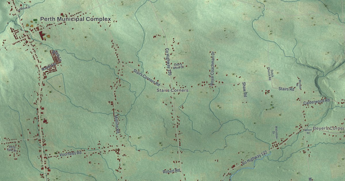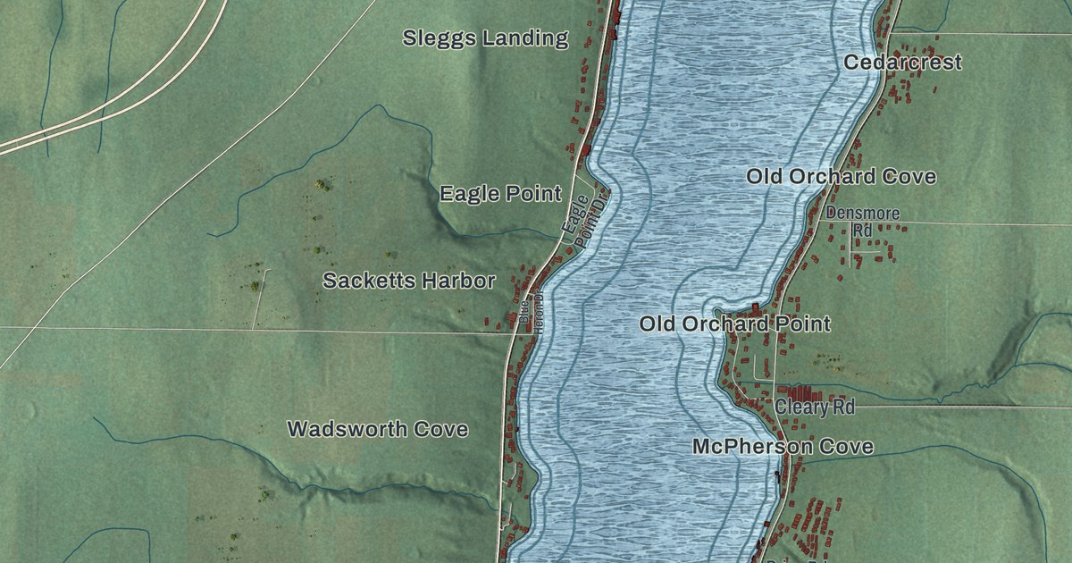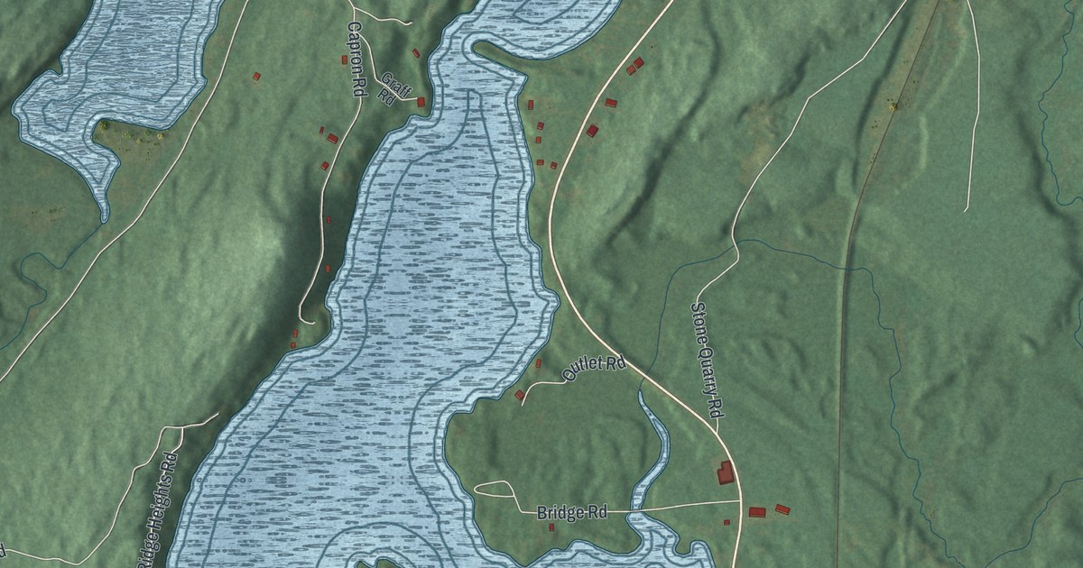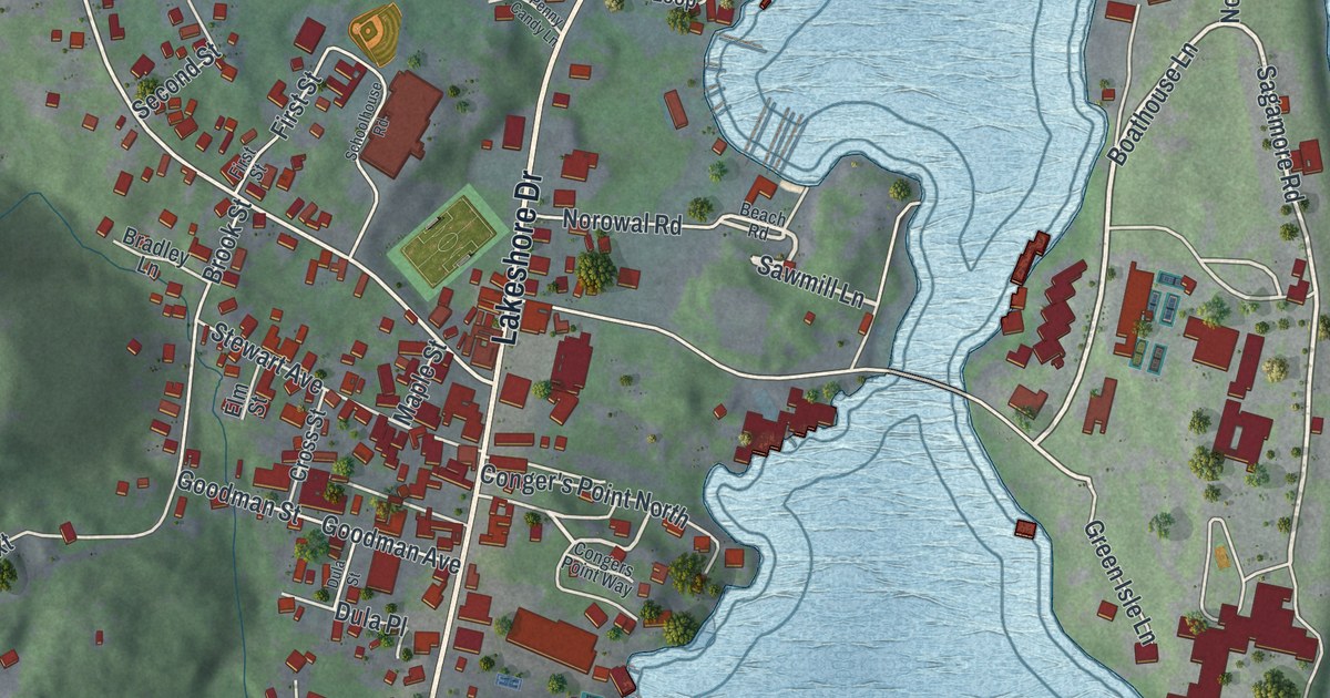
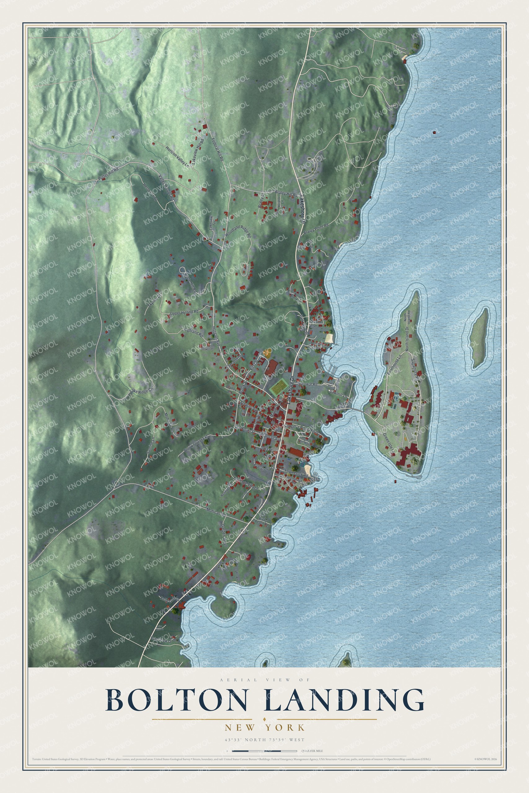
This beautifully detailed map of Bolton Landing, New York was created in 2026 using aerial imagery combined with modern topographical, census, street and landmark data. It’s a one-of-a-kind view of Bolton Landing that combines accurate data with a vintage aesthetic. The map shows every building in its true location, many of the roads carry their names, and the shaded topographic relief shows the shape of the land.
Explore an aerial view of Bolton Landing, New York
On the map you’ll find Lakeshore Drive, Sagamore Road, Boathouse Lane, Norowal Road, Sawmill Lane, and more. If you look closely you can even find your house accurately drawn in its correct location. Zoom in on the preview to look for yours.
Did You Know?
Bolton Landing was founded in 1799. Logging boats on Lake George made it a regular stop. Today the Sagamore Hotel Complex and the Marcella Sembrich Opera Museum are both listed on the National Register of Historic Places.
Take a closer look at the Bolton Landing map
Names on this map
These names are printed on this map.
Streets and roads: Lakeshore Drive, Sagamore Road, Boathouse Lane, Norowal Road, Sawmill Lane, Horicon Avenue, Potter Hill Road, Valley Woods Road, Mohican Road, Federal Hill Road, Lakeview Hill Road, Woodland Ridge Road.
More street names, A to Z
Anchorage Road, Apple Hill Road, Aviator Lane, Beach Road, Belle Lodi Lane, Bixby Beach Road, Bradley Lane, Braley Hill Road, Braley Lane, Braley Point Road, Briar View Drive, Brier View Drive, Brook Street, Brook Street Extension, Conger's Point North, Congers Point Way, Countess Loop, Cross Street, Dula Place, Dula Street, Elm Street, Evergreen Lane, First Street, Garden Way, Goodman Avenue, Goodman Street, Green Isle Lane, Heritage Lane, Heritage Road, Heritage Village, Heroes Loop, Hidden Hills Drive, Highland Road, Hondah Loop, Horicon Valley Lane, Lake Ridge Circle, Lakeview Terrace, Maple Street, Mohican Heights, North Brook Drive, North Island Drive, North Island Road, Parkside Drive, Park View Drive, Penny Candy Lane, Sacrament Lane, Schoolhouse Road, Second Street, Skyline Drive, Stewart Avenue, Sunrise Lane, Town Dock Road, Upper Hyland Road.
See it on a wall
The Bolton Landing map as a framed print. Swipe for more.


This beautifully detailed map of Bolton Landing makes an attractive addition to your office, library, or den, and it can even be used to teach children the geography and history of the area. It also makes a great gift for someone who left Bolton Landing and still calls it home. When you’re done exploring, click here to get your copy of the Bolton Landing map.