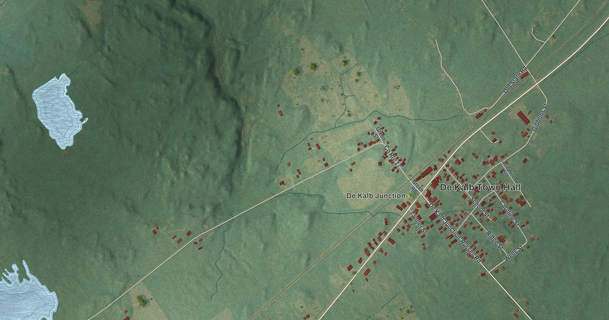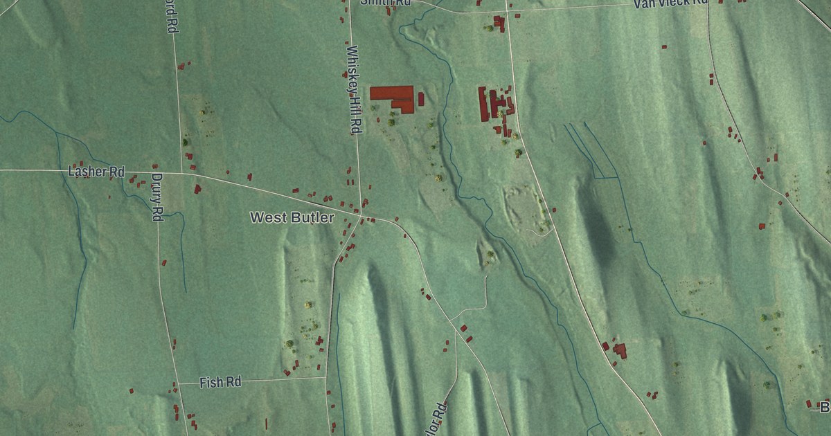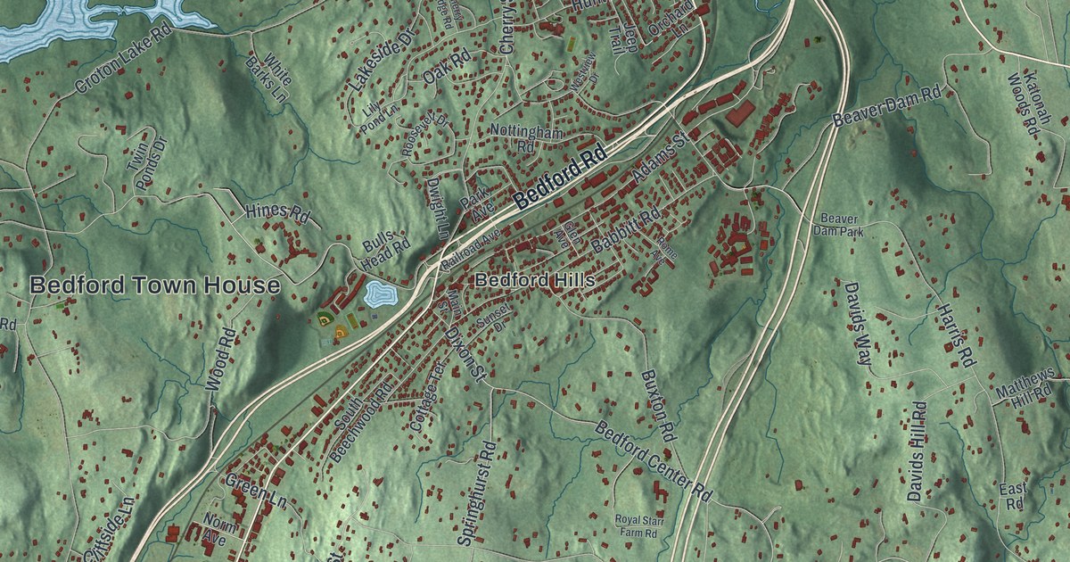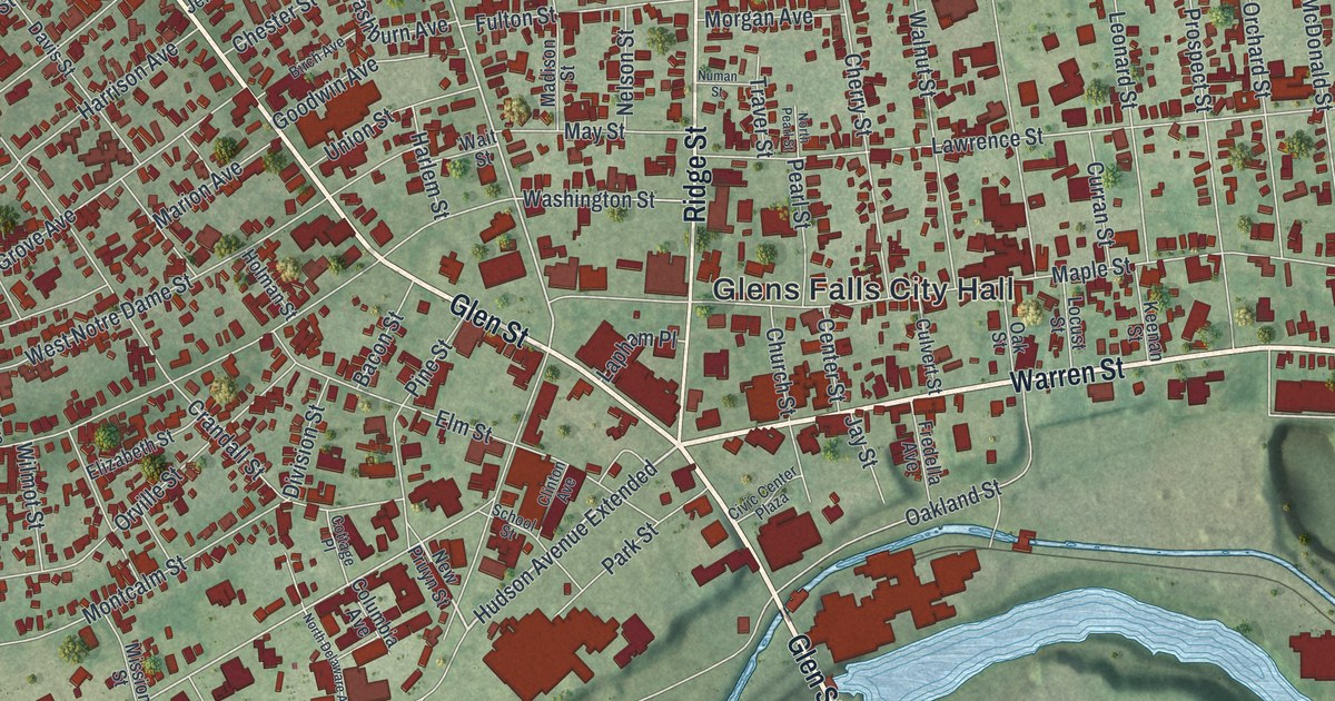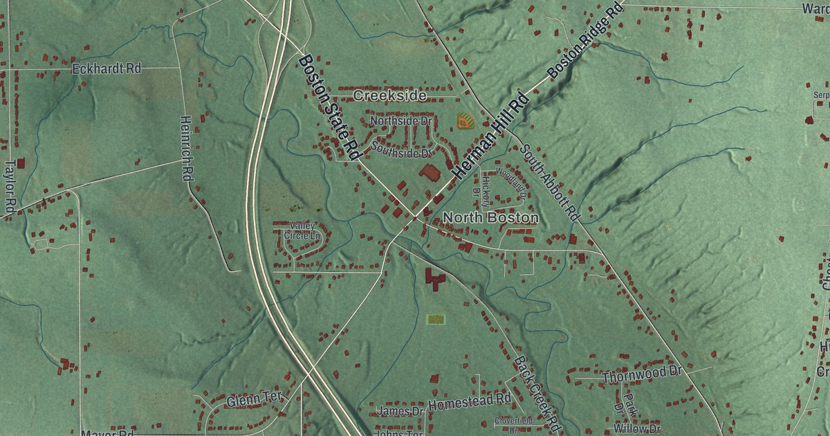
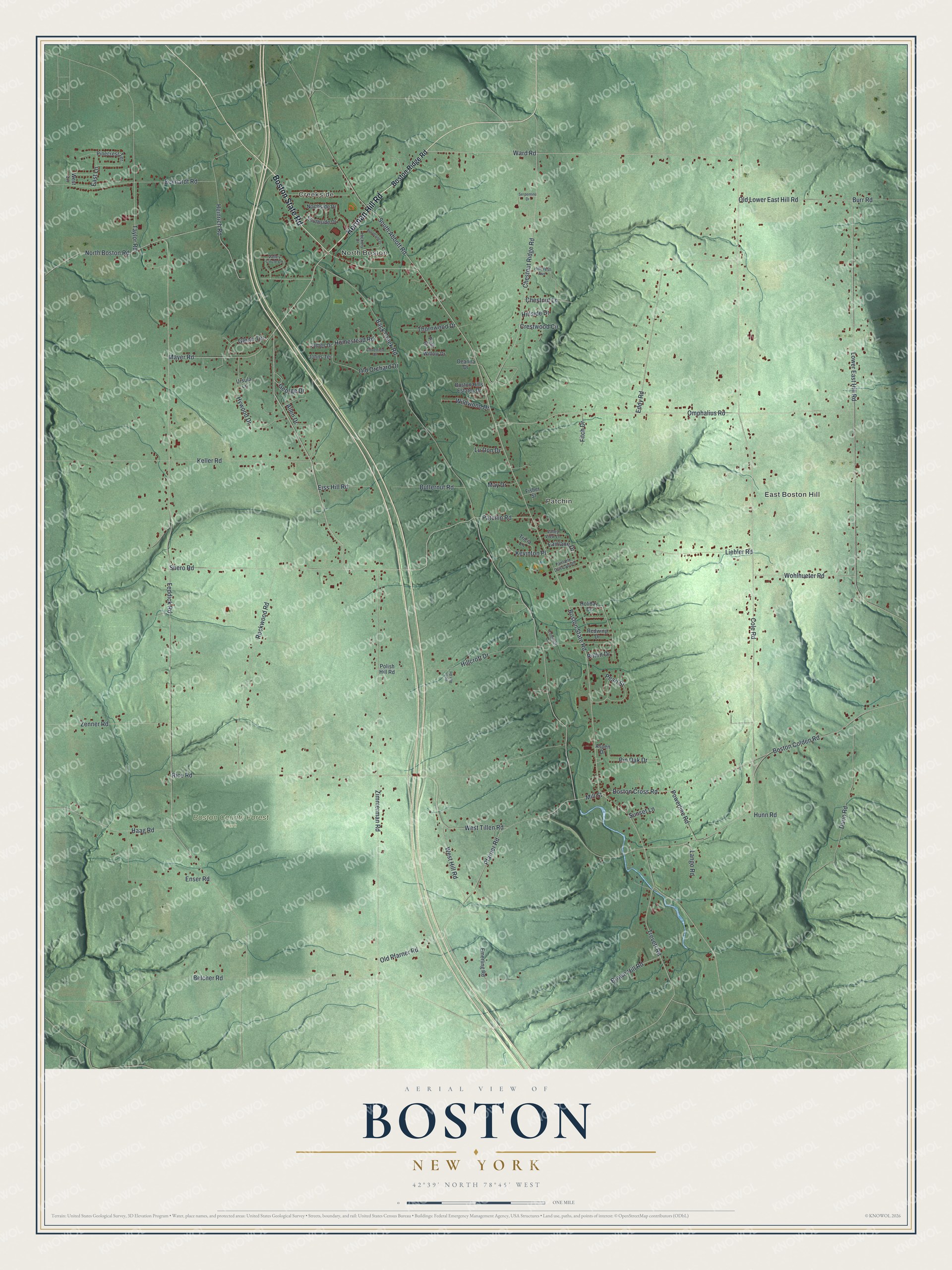
This beautifully detailed map of Boston, New York was created in 2026 using aerial imagery combined with modern topographical, census, street and landmark data. It’s a one-of-a-kind view of Boston that combines accurate data with a vintage aesthetic. The map shows every building in its true location, many of the roads carry their names, and the shaded topographic relief shows the shape of the land.
Explore an aerial view of Boston, New York
On the map you’ll find Creekside, North Boston, East Boston Hill, Patchin, and Boston County Forest Park, along with Herman Hill Road, Boston State Road, Boston Ridge Road, Zimmerman Road, Ward Road, and more. If you look closely you can even find your house accurately drawn in its correct location. Zoom in on the preview to look for yours.
Did You Know?
Boston once manufactured cowbells. Ellen Beach Yaw, an opera singer of the 1890s, was born here in 1871. Settlers from New England built St. Paul’s Evangelical Church in 1834. They hauled its timbers all the way from Gowanda. That’s from the 1940 WPA guide to New York.
Take a closer look at the Boston map
Names on this map
These names are printed on this map.
Places: Creekside, North Boston, East Boston Hill, Patchin and Boston County Forest Park.
Streets and roads: Herman Hill Road, Boston State Road, Zimmerman Road, Ward Road, Feddick Road, Boston Colden Road, North Boston Road, Boston Cross Road, Cole Road, Back Creek Road, Lower East Hill Road, Rice Road.
More street names, A to Z
Allen Drive, Aspen Drive, Belcher Road, Boston Hills Estates Drive, Boston Ridge Road, Brown Hill Road, Burr Road, Butternut Road, Chestnut Lane, Chestnut Ridge Road, Cloverfield Drive, Colonial Drive, Crestwood Circle, Deanna Drive, Deer Run Road, Dunn Road, East Lane, Eckhardt Road, Eddy Road, Eiss Hill Road, Emerling Road, Enser Road, Fairlane Drive, Fairlane Drive South, Fisher Street, Fitch Drive, George Drive, Glenn Terrace, Haag Road, Heinrich Road, Hickory Drive, Hillcrest Avenue, Hillcroft Drive, Hillside Drive, Holiday Drive, Homestead Road, Hunn Road, Hywood Drive, James Drive, Johns Terrace, Keller Road, Kevinton Place, Lango Road, Liebler Road, Lu Don Drive, May Drive, Mayer Road, Mill Street, Northside Drive, Old Lower East Hill Road, Old Orchard Drive, Old Pfarner Road, Omphalius Road, Park Drive, Patchin Road, Pearl Street, Pfarner Road, Pinecrest Terrace, Pin Oak Drive, Polish Hill Road, Powerline Road, Redwing Drive, Rockwood Road, Rollin Drive, Serpentine Drive, Shero Road, South Abbott Road, Southside Drive, Sunset Lane, Taylor Road, Thornwood Drive, Trevett Road, Tricia Lane, Ursula Lane, Valley Circle Lane, Valley View Lane, West Hill Road, West Lane, West Tillen Road, Wildwood Drive, Willow Drive, Wohlhueter Road, Woodland Drive, Zenner Road.
See it on a wall
The Boston map as a framed print. Swipe for more.


This beautifully detailed map of Boston makes an attractive addition to your office, library, or den, and it can even be used to teach children the geography and history of the area. It also makes a great gift for someone who left Boston and still calls it home. When you’re done exploring, click here to get your copy of the Boston map.