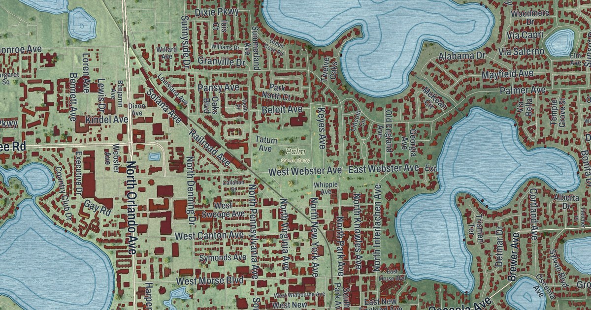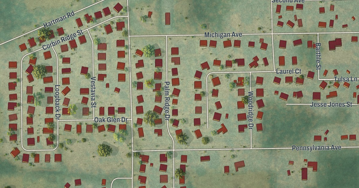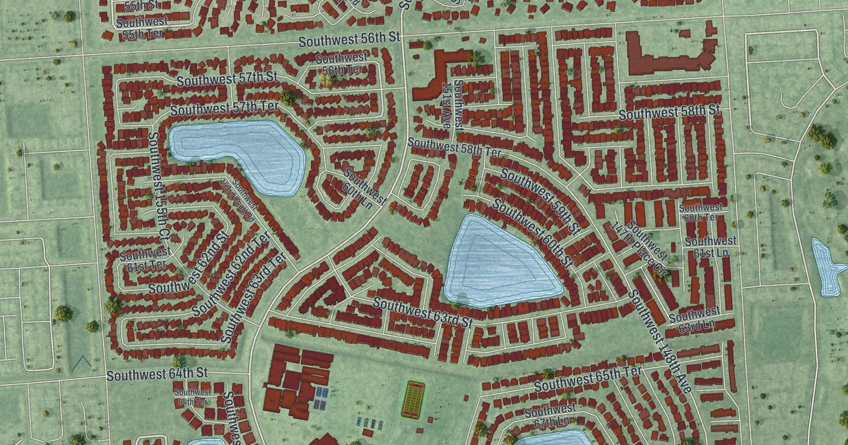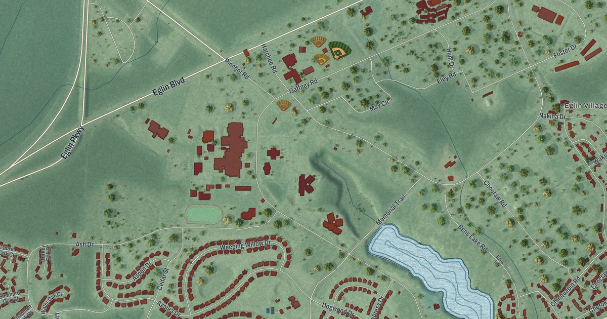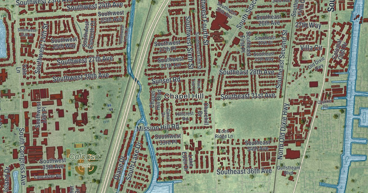
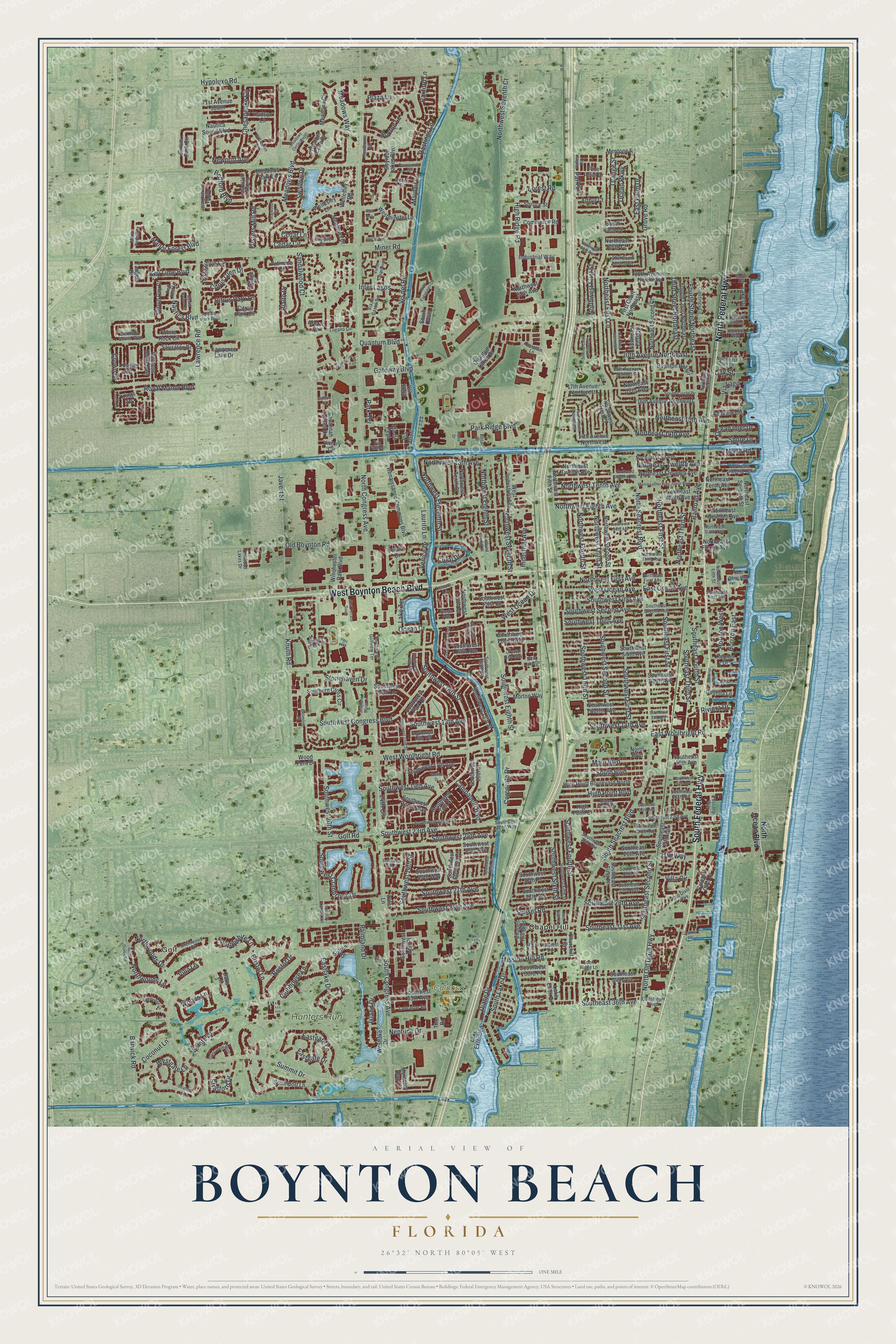
This beautifully detailed map of Boynton Beach, Florida was created in 2026 using aerial imagery combined with modern topographical, census, street and landmark data. It’s a one-of-a-kind view of Boynton Beach that combines accurate data with a vintage aesthetic. The map shows every building in its true location, many of the roads carry their names, and the shaded topographic relief shows the shape of the land.
Explore an aerial view of Boynton Beach, Florida
On the map you’ll find Golf, Caloosa Park, Chapel Hill, and Hunters Run, along with North Federal Highway, West Boynton Beach Boulevard, South Federal Highway, South Seacrest Boulevard, Southwest 18th Street, Estate Drive, Northeast First Lane, Southwest 23rd Avenue, and more. If you look closely you can even find your house accurately drawn in its correct location. Zoom in on the preview to look for yours.
Did You Know?
Boynton Beach is named for Nathan Boynton, a former Civil War major from Port Huron, Michigan. He first saw the area in 1894 and loved its sunshine and beaches. He built the Boynton Hotel, which opened in 1897 with room for 100 guests. The hotel lasted until 1925.
Take a closer look at the Boynton Beach map
Names on this map
These names are printed on this map.
Places: Golf, Caloosa Park, Chapel Hill and Hunters Run.
Streets and roads: North Federal Highway, West Boynton Beach Boulevard, South Federal Highway, South Seacrest Boulevard, Southwest 18th Street, Estate Drive, Northeast First Lane, Southwest 23rd Avenue, Southwest 14th Avenue, Quantum Boulevard, Citrus Glen Drive, Southeast 36th Avenue.
More street names, A to Z
14th Avenue Northwest, 16th Avenue Northeast, 17th Avenue Northwest, 18th Avenue Northeast, 20th Avenue Northeast, 24th Circle, 26th Avenue Northeast, 27th Court Northeast, 27th Way, 31st Terrace South, 35th Avenue, 71st Avenue South, Alpha Drive, Arezzo Circle, Arthur Court, Artimino Lane, Banyan Creek Court, Barwick Road, Baytree Circle, Bedford Boulevard, Belmont Place, Bermuda Sound Way, Beta Drive, Boynton Bay Circle, Boynton Lakes Boulevard, Brentwood Drive, Bristol Drive, Bristol Lane, Buxton Lane, Cambridge Lane, Campanelli Boulevard, Canal Drive, Casa Loma Boulevard, Castilla Lane, Castle Drive, Cedar Circle, Cedar Lane, Chapel Hill Boulevard, Chelsea Lane, Chesapeake Circle, Chukker Road, Churchill Drive, Citrus Park Boulevard, Citrus Park Circle, Citrus Park Lane, Clubhouse Lane, Coconut Lane, Colonial Club Drive, Commerce Road, Coral Drive, Corporate Drive, Country Lake Trail, Crossings Circle, Crown Drive, Crystal Key Way, Diane Drive, Dogwood Circle, Duchess Court East, Eastgate Drive, Eastgate Lane, Eastlake Drive, East Ocean Avenue, East Palm Drive, East Woolbright Road, Eden Ridge Lane, Executive Circle, Fairfax Circle East, Fairfax Circle West, Farnworth Drive, First Court Northeast, First Way Northeast, Forest Road, Fosters Mill Road, Fourth Court Northeast, Fourth Street Northeast, Fourth Street Northwest, Gaston Court, Gateway Boulevard, Glens Drive West, Golf Road, Greenbriar Drive, Grove Park Circle, Grove Road, Gulfstream Boulevard, Hampshire Lane, Harbors Way, Hastings Lane, Hawthorne Lane, Heather Cove Drive, High Point Boulevard, High Point Boulevard North, High Point Court, High Ridge Road, Hillcrest Road, Horizon East, Horizon West, Hudson Lane, Hypoluxo Road, Industrial Avenue, Industrial Way, Inter Lagos, Island Drive, Javert Street, Kepner Drive, Key Lime Boulevard, Kings Drive, Knight Road, Knuth Road, Lake Drive, Lake Eden Drive, Lake Extended, Lakeside Harbour, Lake Terrace, Lancaster Road, Laurito Lane, Lawrence Lake Drive, Lawrence Road, Leisure Lane, Mahogany Drive, Main Boulevard, Manor Forest Boulevard, Manor Forest Lane, Martin Luther King Junior Boulevard, Mayfair Lane, Meadows Boulevard, Meadows Circle, Meadows Circle West, Meadows Drive, Meadows Park Lane, Meadows Way, Mentone Road, Miner Road, Mission Hill Road, Monterey Bay Drive, Morton Way, Mystic Harbor Circle, Nautica Boulevard, Nautica Sound Boulevard, Neptune Drive, New Lake Drive, Newport Avenue, North Boulevard, North Congress Avenue, Northeast 13th Avenue, Northeast 14th Avenue, Northeast 15th Avenue, Northeast 17th Avenue, Northeast 20th Lane, Northeast 28th Court, Northeast Eleventh Avenue, Northeast Fifth Street, Northeast First Avenue, Northeast First Court, Northeast First Street, Northeast Fourth Avenue, Northeast Ninth Avenue, Northeast Second Court, Northeast Seventh Avenue, Northeast Seventh Street, Northeast Sixth Avenue, Northeast Sixth Street, Northeast Tenth Avenue, Northeast Third Avenue, Northeast Third Street, Northeast Twelfth Avenue, Northeast Twelfth Terrace, North Evergreen Circle, North Ocean Boulevard, North Old Dixie Highway, North Road, North Seacrest Boulevard, Northwest 13th Avenue, Northwest 25th Avenue, Northwest 28th Avenue, Northwest Eighth Avenue, Northwest Eighth Court, Northwest Eighth Street, Northwest Eleventh Avenue, Northwest Eleventh Street, Northwest Fifth Street, Northwest First Avenue, Northwest First Court, Northwest First Street, Northwest Fourth Street, Northwest Second Street, Northwest Seventh Court, Northwest Seventh Street, Northwest Sixth Avenue, Northwest Tenth Avenue, Northwest Tenth Court, Northwest Tenth Street, Northwest Third Street, Northwest Twelfth Avenue, Northwoods Drive, Northwoods Lane, Oaks Lane, Oak Street, Oakwood Lakes Drive, Ocean Drive, Ocean Inlet Drive, Ocean Parkway, Old Boynton Road, Old Dixie Highway, Orange Drive, Orange Street, Palmland Drive, Park Lane, Park Ridge Boulevard, Park Terrace, Paxford Lane, Pine Point Drive, Pine Tree Lane, Plaza Lane, Providence Road, Quantum Lakes Drive, Quantum Lane, Railroad Avenue, Red Reef Lane, Renaissance Commons Boulevard, Rialto Drive, Ridge Pointe Drive, Riviera Drive, Royal Manor Boulevard, Sandalwood Court, Sausalito Drive, Savannah Lakes Drive, Seaview Circle, Second Court Northwest, Shore Drive, Siesta Avenue, Smith Circle, South Boulevard, South Circle Drive, South Congress Avenue, South Dunes Road, Southeast 13th Avenue, Southeast 18th Avenue, Southeast 20th Avenue, Southeast 21st Avenue, Southeast 22nd Avenue, Southeast 23rd Avenue, Southeast 24th Avenue, Southeast 26th Avenue, Southeast 27th Court, Southeast 27th Way, Southeast 28th Avenue, Southeast 31st Avenue, Southeast 34th Avenue, Southeast Fifth Circle, Southeast First Avenue, Southeast First Place, Southeast First Street, Southeast Fourth Street, Southeast Ninth Avenue, Southeast Second Avenue, Southeast Second Street, Southeast Third Street, Southern Cross Circle, Southern Cross Lane, South Lake Drive, South Oasis, South Palm Drive, Southport Lane, Southwest 13th Avenue, Southwest 13th Street, Southwest 13th Terrace, Southwest 14th Place, Southwest 14th Street, Southwest 15th Street, Southwest 16th Street, Southwest 17th Avenue, Southwest 17th Street, Southwest 19th Avenue, Southwest 20th Street, Southwest 22nd Avenue, Southwest 22nd Street, Southwest 22nd Way, Southwest 24th Avenue, Southwest 25th Avenue, Southwest 25th Place, Southwest 25th Way, Southwest 26th Avenue, Southwest 26th Street, Southwest 27th Avenue, Southwest 27th Place, Southwest 27th Terrace, Southwest 28th Avenue, Southwest 33rd Place, Southwest 35th Avenue, Southwest Congress Boulevard, Southwest Cranbrook Drive, Southwest Eighth Place, Southwest Eighth Street, Southwest Eleventh Court, Southwest Fifth Avenue, Southwest Fifth Street, Southwest First Avenue, Southwest First Court, Southwest First Street, Southwest Fourth Avenue, Southwest Fourth Street, Southwest Golf Lane, Southwest Golfview Terrace, Southwest Ninth Street, Southwest Park Drive, Southwest Roma Way, Southwest Second Avenue, Southwest Second Street, Southwest Sixth Avenue, Southwest Sixth Street, Southwest Tenth Street, Southwest Third Avenue, Southwest Third Street, Southwest Twelfth Avenue, Spruce Street, Stirrup Cay Court, Stonehaven Drive, Stratford Drive, Stratford Lane, Summit Drive, Sunset Road, Sutton Drive, Swallow Drive, Tangelo Drive, Third Street Northeast, Thor Drive, Tuscany Way, Valley Road, Vastine Drive, Velaire Drive, Venice Drive, Via Alferi, Via de Casas Norte, Via de Casas Sur, Via de Pepi, Via Fabroni, Via Lago, Via Lugano Circle, Via Sofia, Victory Circle, Villa Circle, Villa Lane, Vis del Rio, Walcott Drive, Wellesley Lane, Wellesley Road, Westgate Lane, West Industrial Avenue, Westlake Drive, Westminster Lane, West Ocean Avenue, West Ocean Drive, West Woolbright Road, White Rock Circle, Winchester Park Boulevard, Wood Fern Drive, Woods Lane, Yale Lane.
See it on a wall
The Boynton Beach map as a framed print. Swipe for more.


This beautifully detailed map of Boynton Beach makes an attractive addition to your office, library, or den, and it can even be used to teach children the geography and history of the area. It also makes a great gift for anyone with Boynton Beach roots. When you’re done exploring, click here to get your copy of the Boynton Beach map.