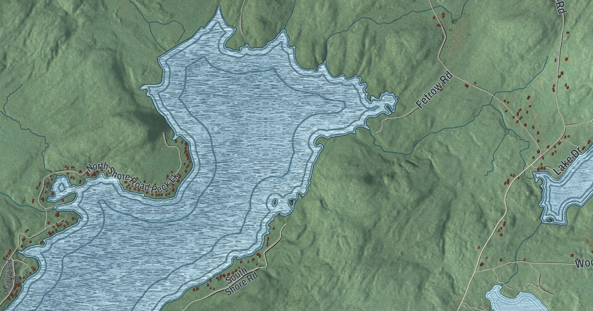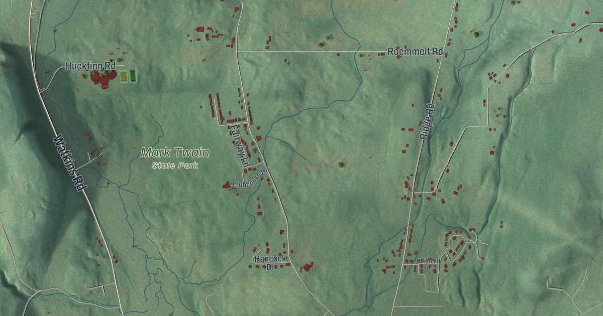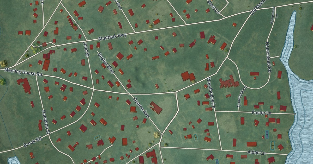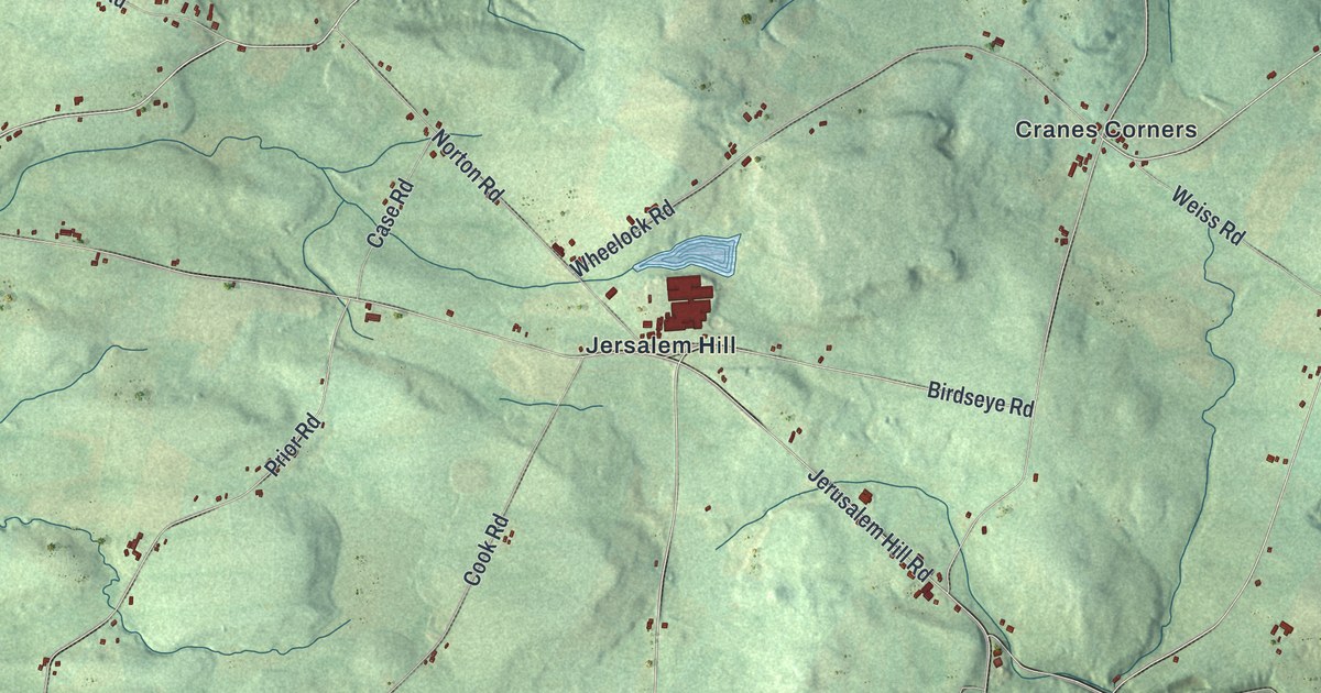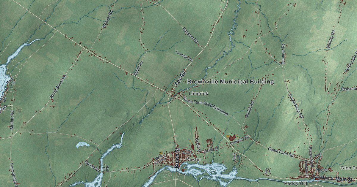
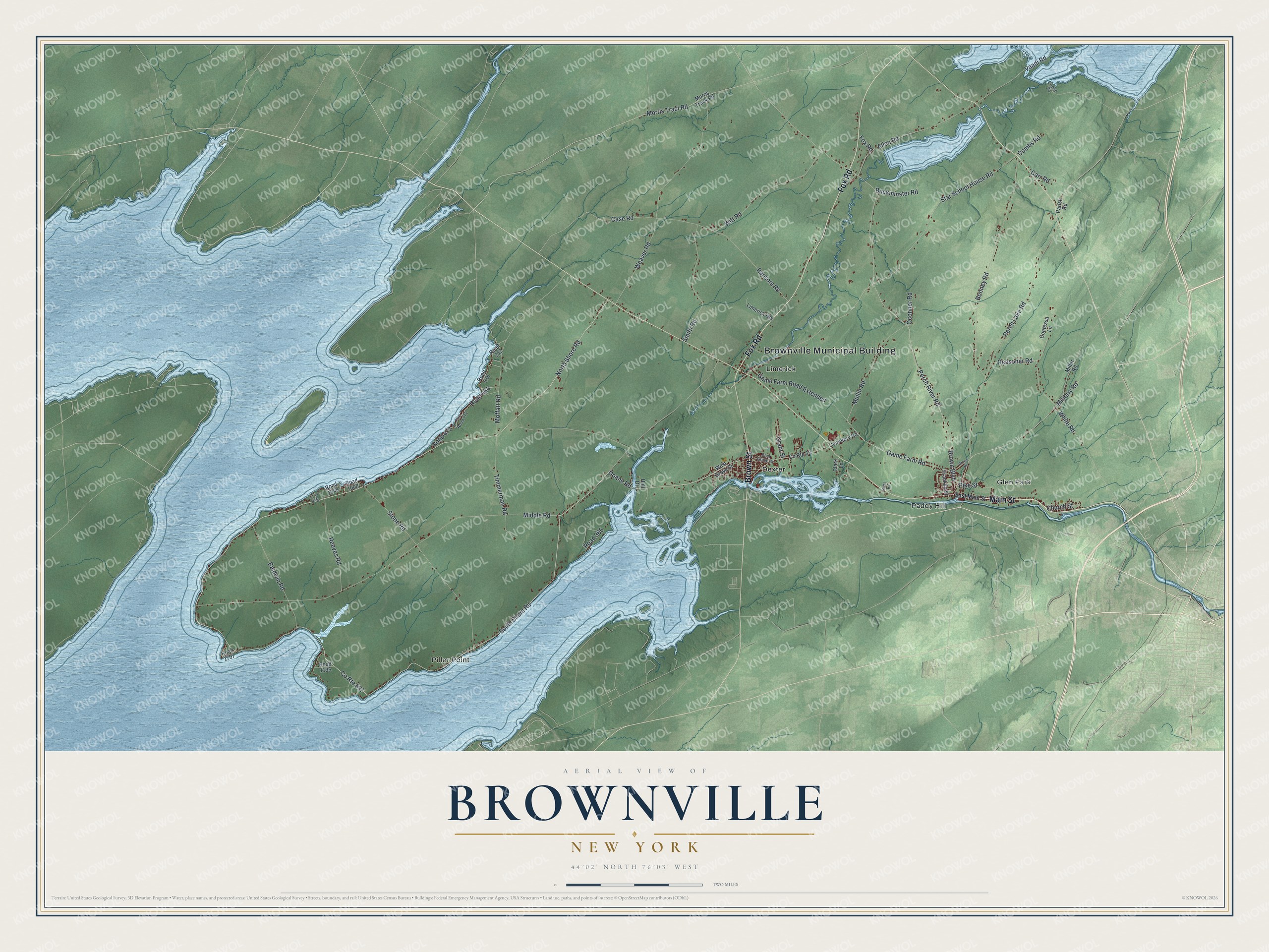
This beautifully detailed map of Brownville, New York was created in 2026 using aerial imagery combined with modern topographical, census, street and landmark data. It’s a one-of-a-kind view of Brownville that combines accurate data with a vintage aesthetic. The map shows every building in its true location, many of the roads carry their names, and the shaded topographic relief shows the shape of the land.
Explore an aerial view of Brownville, New York
On the map you’ll find Brownville Municipal Building, Pillar Point, Dexter, Glen Park, Limerick, and Paddy Hill, along with Fox Road, Main Street, Brown Street, Shore Road, and more. If you look closely you can even find your house accurately drawn in its correct location. Zoom in on the preview to look for yours.
Did You Know?
Brownville is named for Jacob Brown, who founded the town and was its first settler. Brown later became a major general. He is honored as a hero of the War of 1812. Formed in 1802, Brownville was among the earliest towns in the county.
Take a closer look at the Brownville map
Names on this map
These names are printed on this map.
Places: Brownville Municipal Building, Pillar Point, Dexter, Glen Park, Limerick and Paddy Hill.
Streets and roads: Fox Road, Main Street, Brown Street, North Shore Road, Road 464, Game Farm Road, Star School House Road, Morris Tract Road, Middle Road, South Shore Road, Perch Lake Road, Weaver Road.
More street names, A to Z
Allen Road, Baldwin Road, Bonney Road, Brown Boulevard, Brown Road, Buckminster Road, Butts Road, Carr Road, Case Road, Cemetery Road, Church Street, Clark Lane, Combs Road, Contessa Lane, Cooke Road, County Route 53, County Route 597, Doane Road, East Grove Street, East Main Street, Fire Road 472, Franklin Street, Game Farm Road Extended, Grant Street, Hall Drive, Limerick Heights, Military Road, Miller Road, Moffatt Road, Morris Track Road, Mullin Road, Oconnor Road, Parish Road, Perch River Road, Pike Street, Ransom Road, Reasoner Road, Reeves Road, Road 212, Road 365, Road 416, Road 472, Road 1008, Road 1048, Road 1195, Road 1228, Road 1707, Smith Road, Stone Road, Timmerman Road, Vaadi Road, West Grove Street, White Road, Witt Road.
See it on a wall
The Brownville map as a framed print. Swipe for more.


This beautifully detailed map of Brownville makes an attractive addition to your office, library, or den, and it can even be used to teach children the geography and history of the area. It also makes a great gift for someone who left Brownville and still calls it home. When you’re done exploring, click here to get your copy of the Brownville map.