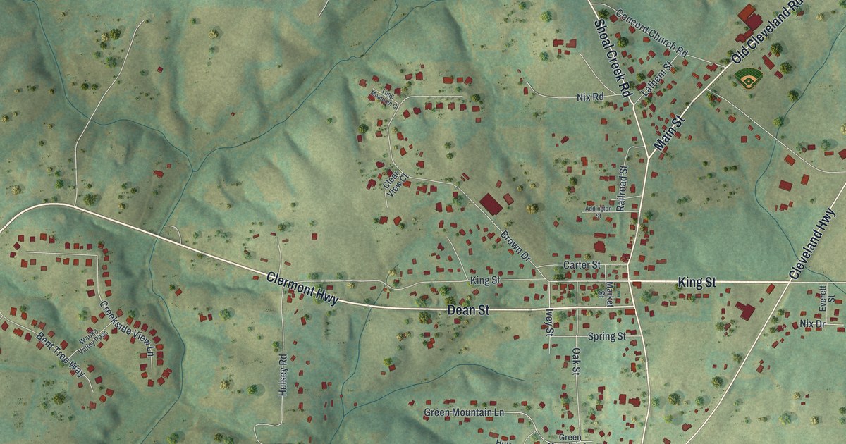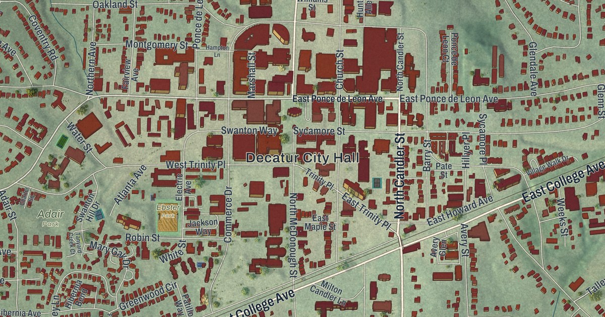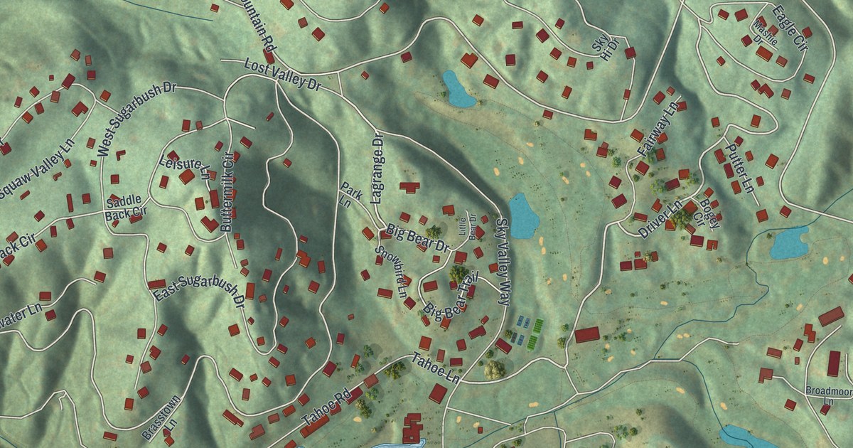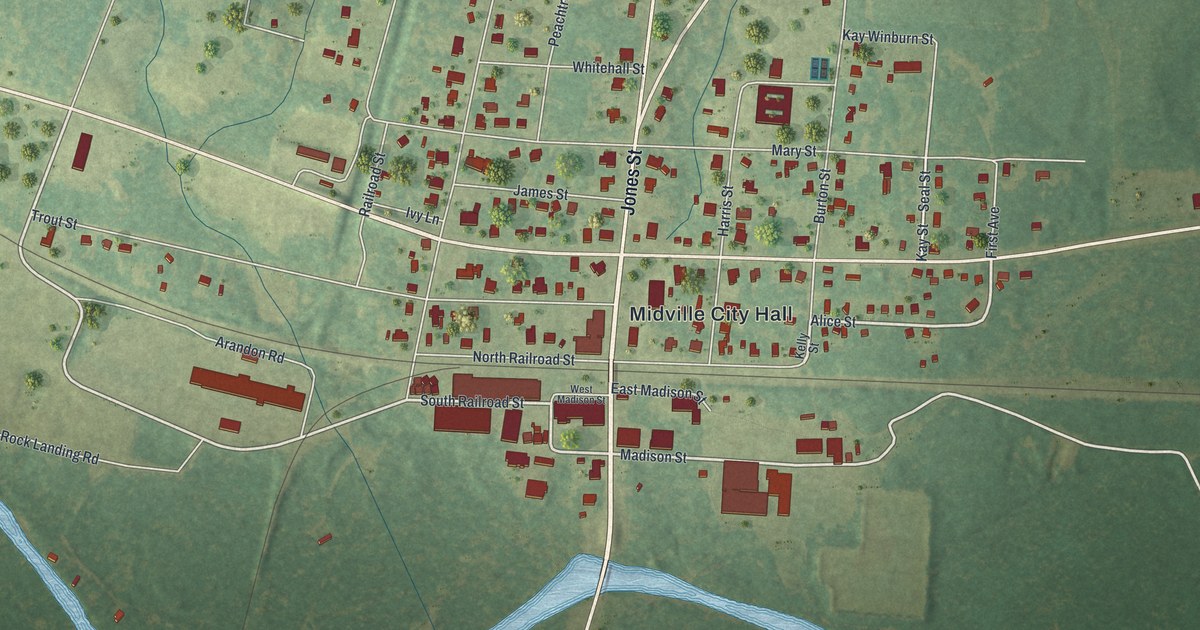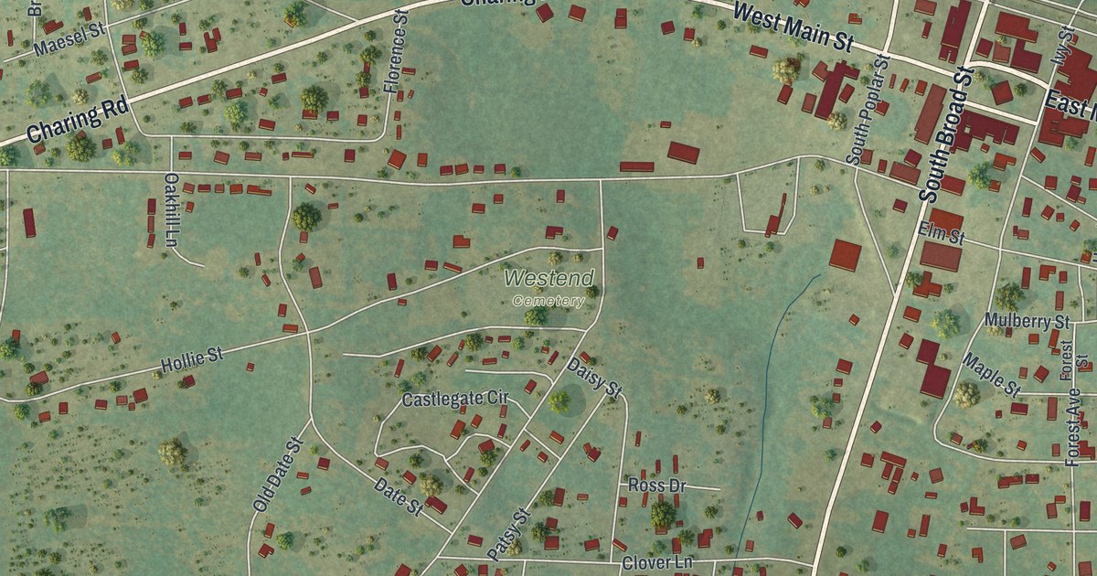
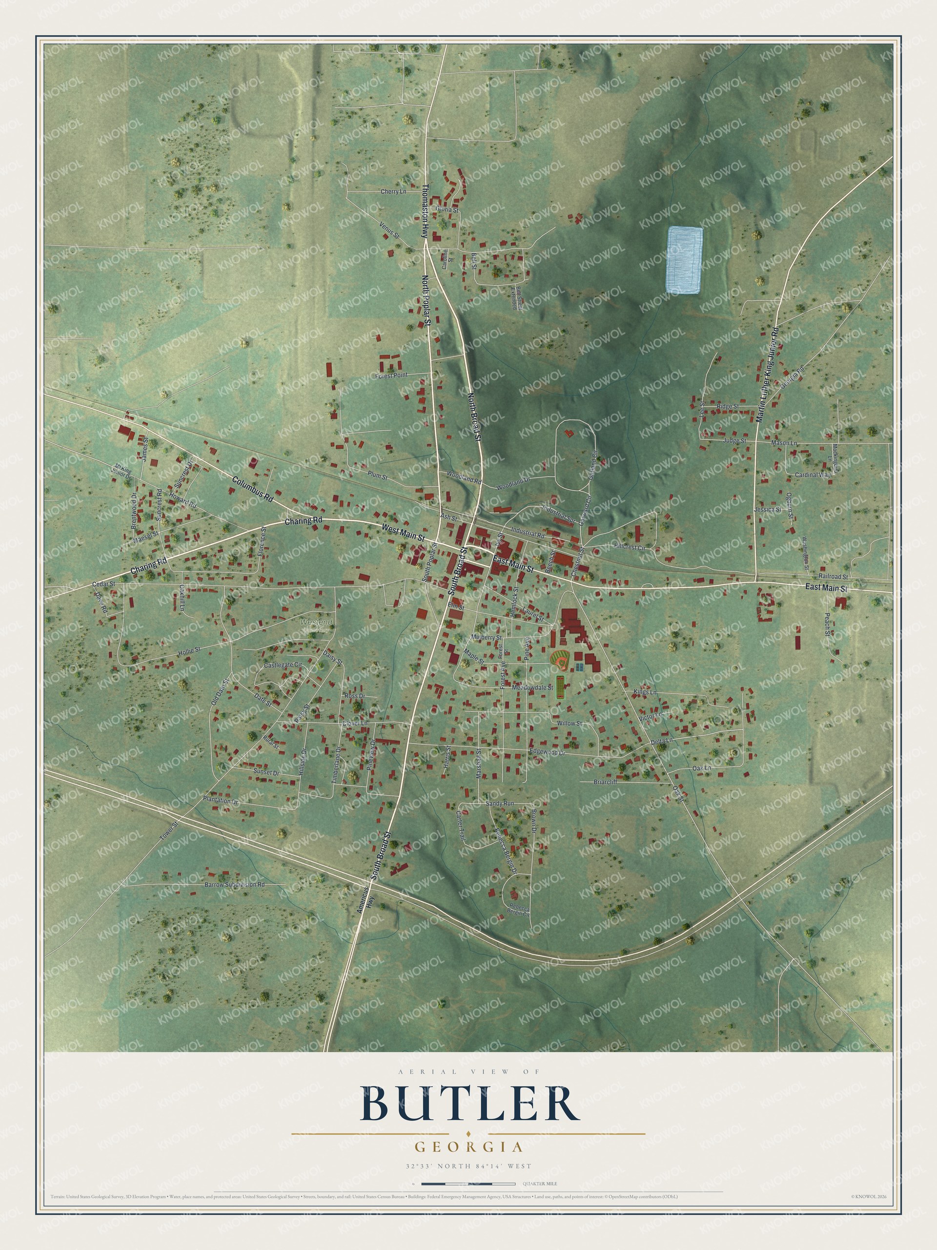
This beautifully detailed map of Butler, Georgia was created in 2026 using aerial imagery combined with modern topographical, census, street and landmark data. It’s a one-of-a-kind view of Butler that combines accurate data with a vintage aesthetic. The map shows every building in its true location, many of the roads carry their names, and the shaded topographic relief shows the shape of the land.
Explore an aerial view of Butler, Georgia
On the map you’ll find Westend Cemetery, along with Main Street, Broad Street, Charing Road, Poplar Street, Martin Luther King Junior Road, and more. If you look closely you can even find your house accurately drawn in its correct location. Zoom in on the preview to look for yours.
Did You Know?
The Taylor County seat was named for General William Orlando Butler, a noted soldier of the Mexican War. He ran for Vice President on the ticket with General Lewis Cass of Michigan. He was also a poet and wrote a well known song called The Boatman’s Horn. That’s from the 1913 Georgia’s Landmarks and Legends.
Take a closer look at the Butler map
Names on this map
These names are printed on this map.
Places: Westend Cemetery.
Streets and roads: East Main Street, North Broad Street, West Main Street, Charing Road, South Broad Street, North Poplar Street, Martin Luther King Junior Road, Columbus Road, Thomaston Highway, Hillcrest Circle, Garward Circle, Chestnut Street.
More street names, A to Z
Americus Highway, Ash Street, Barrow Subdivision Road, Beech Street, Bell Street, Bell Street Extended, Brentwood Drive, Briarcliff, Brown Drive, Cardinal Way, Caroline Street, Carter Trail, Castlegate Circle, Cedar Street, Cherry Lane, Clover Lane, Daisy Street, Date Street, Dave Road, Delta Lane, Edgewood Drive, Elm Street, Florence Street, Forest Avenue, Forest Point, Forest Street, Garland Circle, Georgia Road, Gloria Street, Harris Street, Hemlock Street, Hillside Drive, Hollie Street, Howard Road, Industrial Road, Industrial Spr, Ivy Street, James Street, Jessica Street, Judge Street, Kings Lane, Laurel Street, Lee Street, Maesel Street, Maple Street, Marshall Street, Mason Lane, Meadowdale Street, Ml King Junior Drive, Mockingbird Lane, Mulberry Street, Oakhill Lane, Oak Lane, Oak Street, Ogburn Street, Old Date Street, Patsy Street, Peach Street, Pine Avenue, Pineview Drive, Plantation Drive, Plum Street, Railroad Street, Rebecca Bergin Circle, Rebecca Bergin Drive, Ridge Street, Ross Drive, Rural Street, Sandy Run, South Poplar Street, Suncrest Drive, Suncrest Road, Sunset Drive, Timberlane Drive, Tower Street, Venus Street, Victor Lane, Washington Street, Willow Street, Woodland Drive, Woodland Road.
See it on a wall
The Butler map as a framed print. Swipe for more.


This beautifully detailed map of Butler makes an attractive addition to your office, library, or den, and it can even be used to teach children the geography and history of the area. It also makes a great gift for anyone who grew up in Butler or moved away. When you’re done exploring, click here to get your copy of the Butler map.