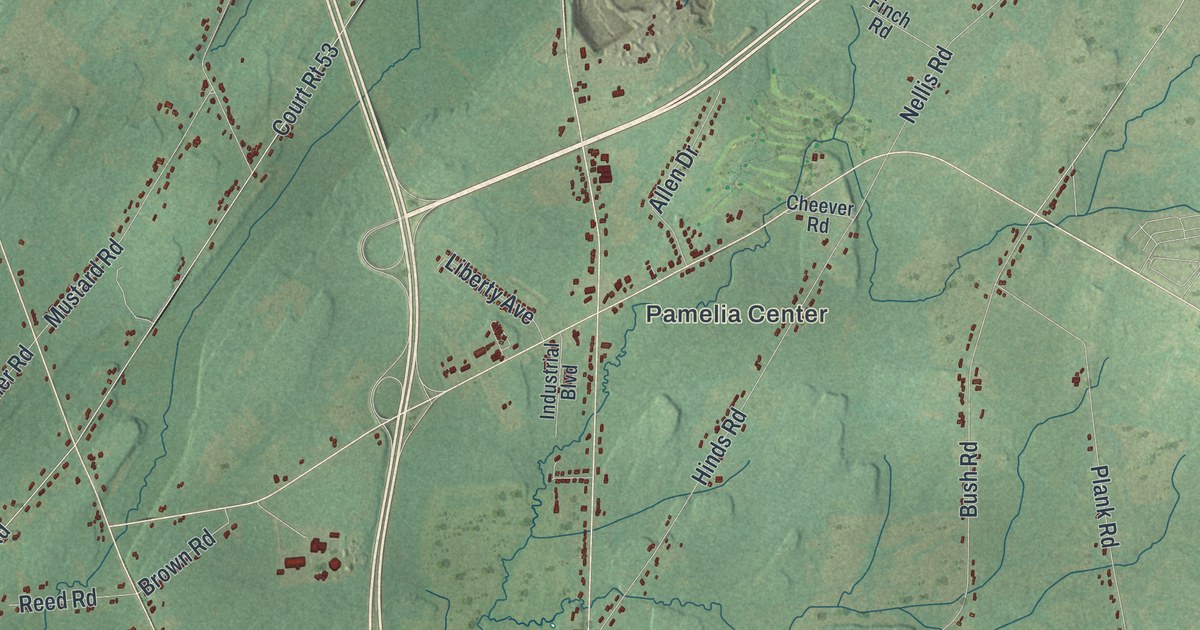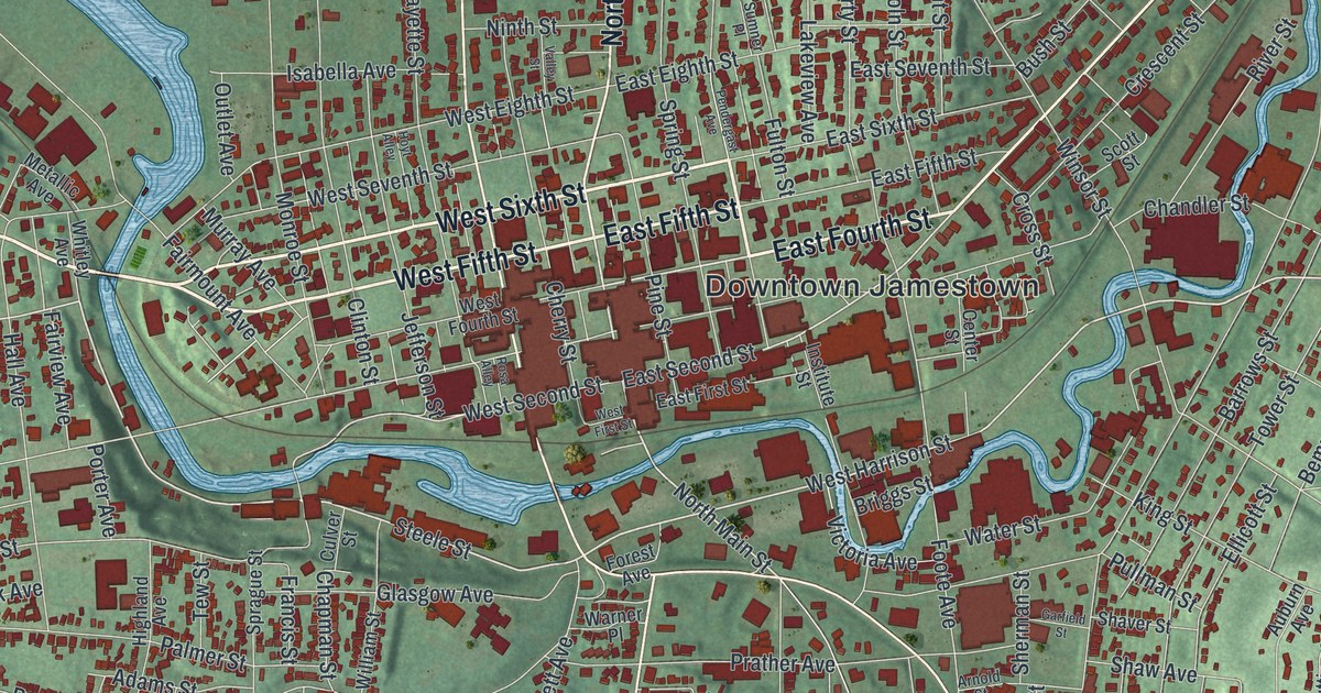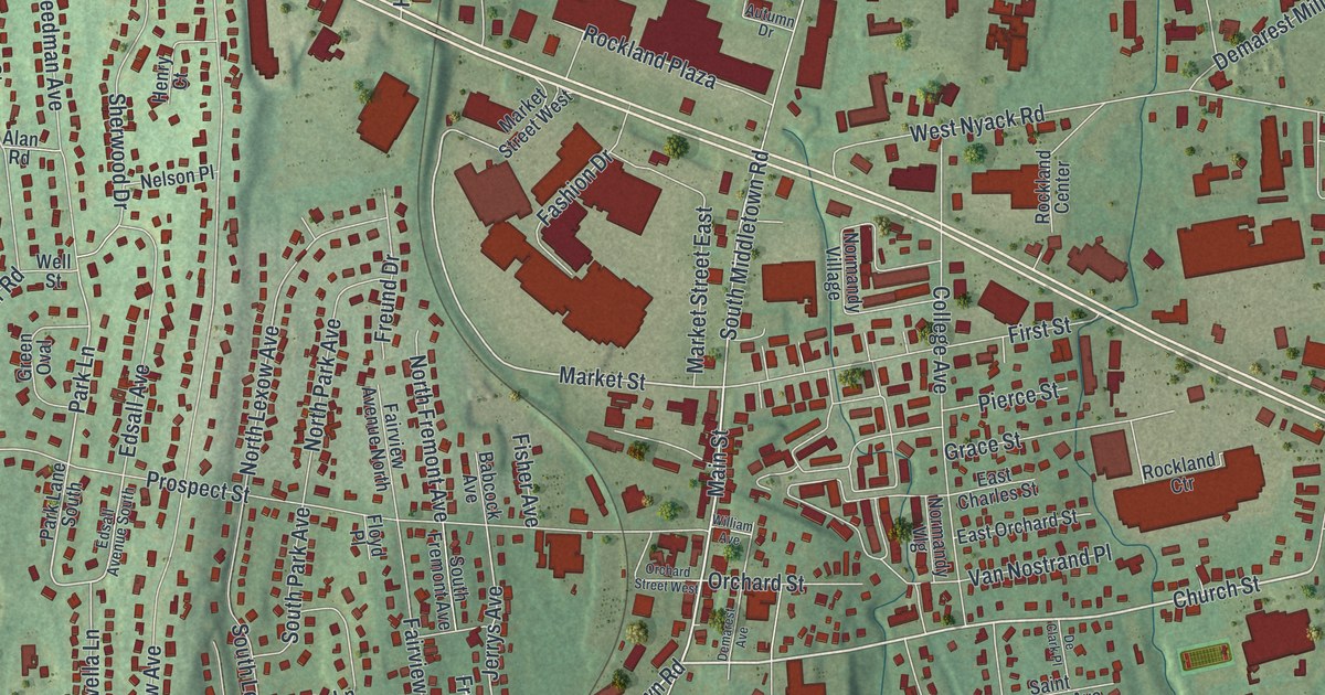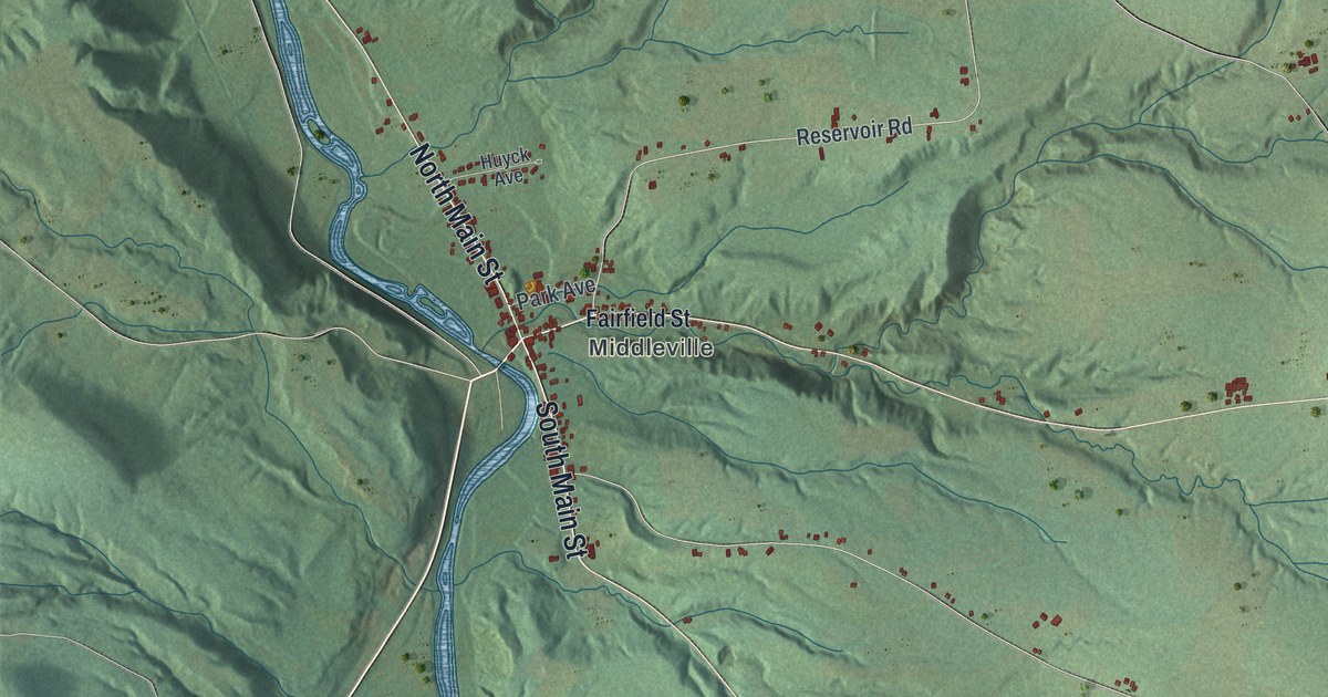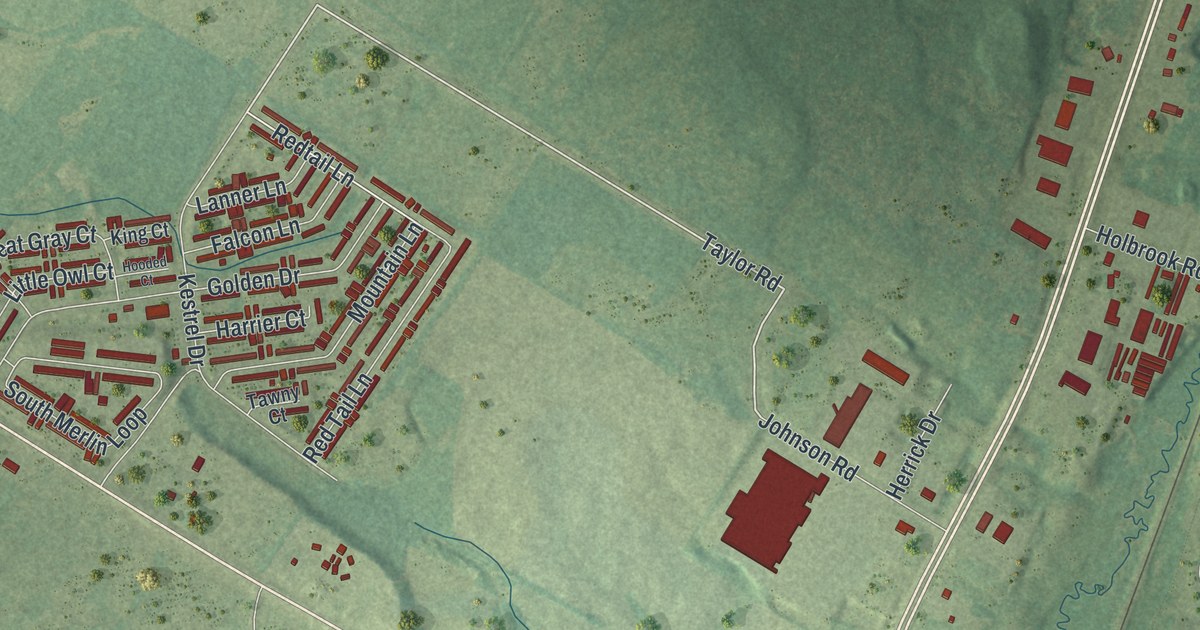
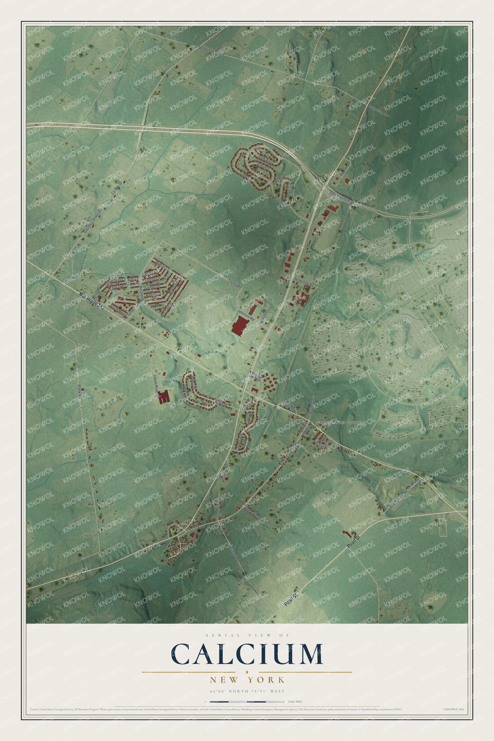
This beautifully detailed map of Calcium, New York was created in 2026 using aerial imagery combined with modern topographical, census, street and landmark data. It’s a one-of-a-kind view of Calcium that combines accurate data with a vintage aesthetic. The map shows every building in its true location, many of the roads carry their names, and the shaded topographic relief shows the shape of the land.
Explore an aerial view of Calcium, New York
On the map you’ll find Sanfords Four Corners, along with Pearl Street, Taylor Road, Redtail Lane, Anabel Avenue, Goulds Corners Road, and more. If you look closely you can even find your house accurately drawn in its correct location. Zoom in on the preview to look for yours.
Did You Know?
Local inventor Madison Cooper asked for the new name Calcium in 1911. It honored the calcium chloride his patented refrigeration plants used. An old stone house at the main crossroads once served as the area post office.
Take a closer look at the Calcium map
Names on this map
These names are printed on this map.
Places: Sanfords Four Corners.
Streets and roads: Pearl Street, Nys Route 342, Cr 138, Taylor Road, Redtail Lane, Anabel Avenue, Goulds Corners Road, County Route 32, Plank Road, Waddingham Road, Gracey Road, Red Tail Lane.
More street names, A to Z
Boyer Circle, Chrysler Drive, Cole Road, Cooper Avenue, Eldon Drive, Falcon Lane, Five Corner Road, Five Corners Road, Gerald Avenue, Golden Drive, Gonseth Road, Great Gray Court, Harrier Court, Herrick Drive, Holbrook Road, Hooded Court, Independence Way, Indian River Drive, Iraqi Freedom Drive, James Street, Jewett Place, Jewitt Place, Johnson Road, Kestrel Drive, King Court, Lanner Lane, Leroy Park Lane, Libby Lane, Little Owl Court, Lynn Circle, Mountain Lane, North Star Road, Putney Lane, Sanford Corners Road, San Ford Corners Road, Shepard Street, South Merlin Loop, Stalder Road, Tawny Court, Virginia Smith Drive, William Street.
See it on a wall
The Calcium map as a framed print. Swipe for more.


This beautifully detailed map of Calcium makes an attractive addition to your office, library, or den, and it can even be used to teach children the geography and history of the area. It also makes a great gift for anyone who grew up in Calcium or moved away. When you’re done exploring, click here to get your copy of the Calcium map.