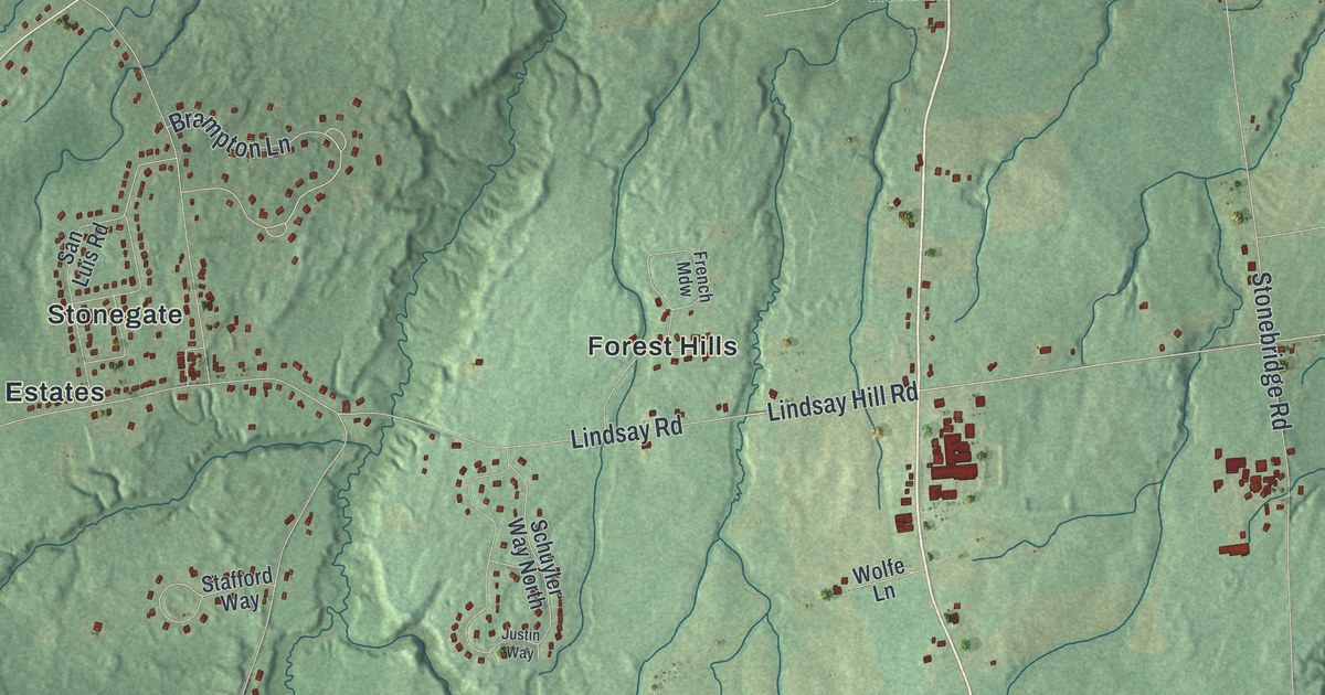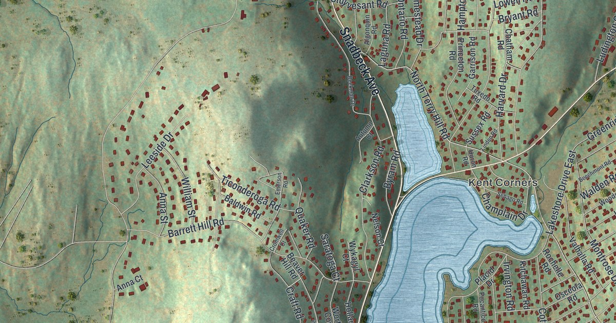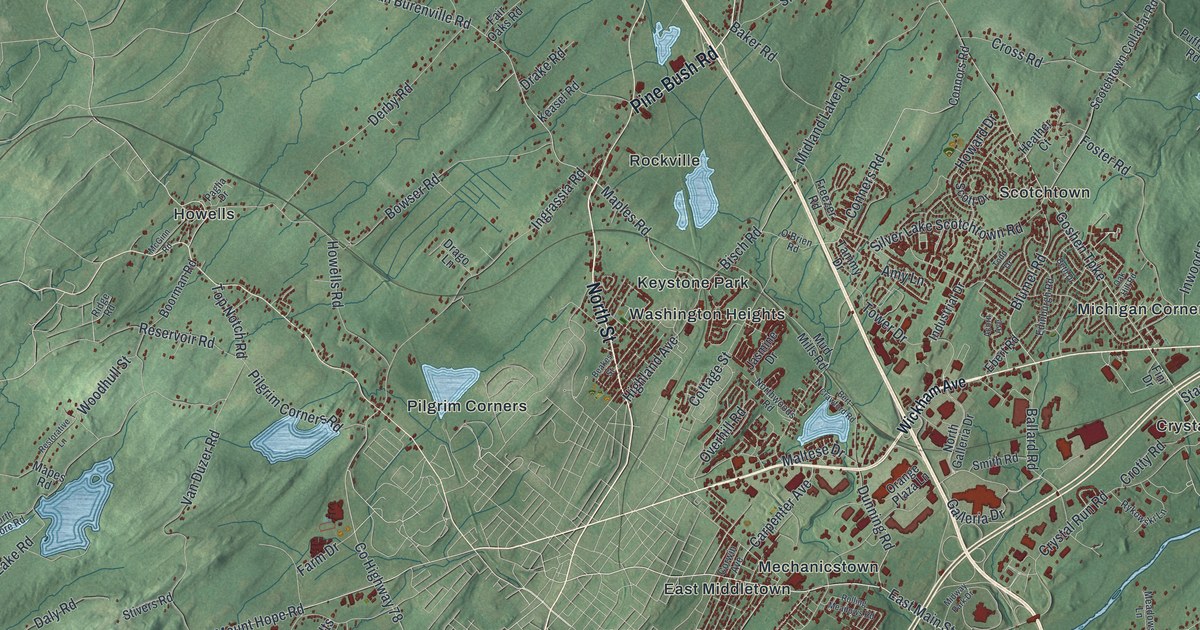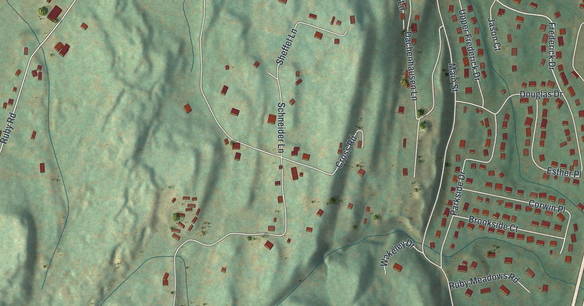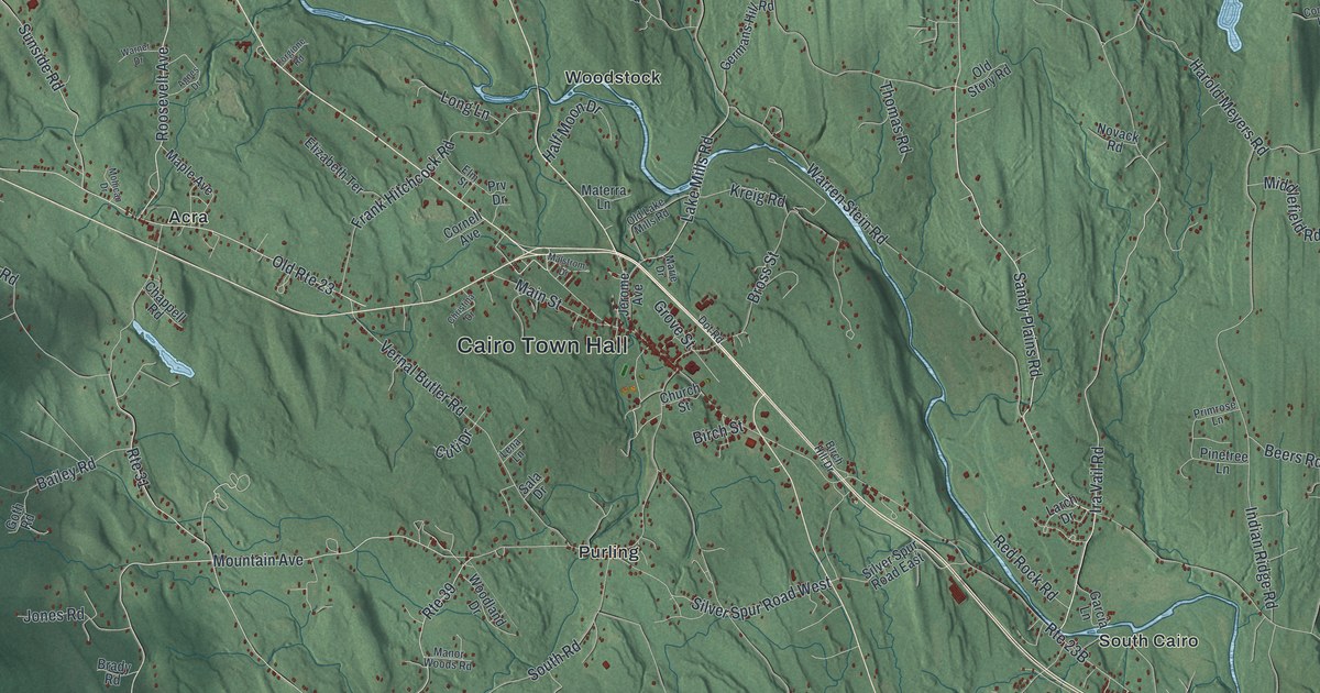
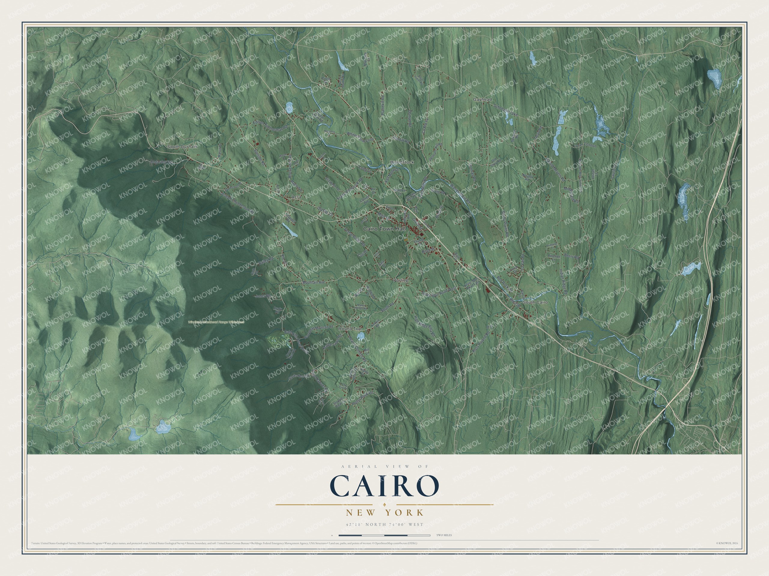
This beautifully detailed map of Cairo, New York was created in 2026 using aerial imagery combined with modern topographical, census, street and landmark data. It’s a one-of-a-kind view of Cairo that combines accurate data with a vintage aesthetic. The map shows every building in its true location, many of the roads carry their names, and the shaded topographic relief shows the shape of the land.
Explore an aerial view of Cairo, New York
On the map you’ll find Cairo Town Hall, Acra, Gayhead, Purling, Round Top, and South Cairo, along with Sandy Plains Road, Bald Hills Road, Maple Lawn Road, South Road, and more. If you look closely you can even find your house accurately drawn in its correct location. Zoom in on the preview to look for yours.
Did You Know?
The first European-American settler reached Cairo around 1772. Many more families came west from New England after the American Revolution. In 1803 the town was formed from parts of Catskill, Coxsackie and Durham. It was first called Canton and took the name Cairo in 1808.
Take a closer look at the Cairo map
Names on this map
These names are printed on this map.
Places: Cairo Town Hall, Windham-Blackhead Range Wilderness, Acra, Gayhead, Purling, Round Top, South Cairo, South Durham and Woodstock.
Streets and roads: Sandy Plains Road, Bald Hills Road North, Maple Lawn Road, South Road, Pollys Rock Road, Ira Vail Road, Bross Street, Old Route 23, Lake Mills Road, Hearts Content Road, Mountain Avenue, Schoharie Turnpike.
More street names, A to Z
Agnes Drive, Alpine Drive, Bailey Road, Bauer Junior Road, Beers Road, Birch Hill Drive, Birch Street, Blackhead Mountain Road, Bogardus Road, Brady Road, Canniff Road, Chappell Road, Christina Drive, Church Street, Circle Drive, Conrad Lane, Cornell Avenue, County Route 41, Crow's Nest Road, Crystal Point Road, Cuti Drive, Deyo Road, Doman Road, Dot Road, Edison Timmerman Road, Elizabeth Terrace, Elks Drive, Elm Street, Floyd Hawver Road, Forgione Road, Fox Fire Drive, Frank Hitchcock Road, Garcia Lane, Germans Hill Road, Goth Road, Grove Street, Half Moon Drive, Harold Meyers Road, High Ridge Villa Road, Horseneck Road, Indian Ridge Road, Jerome Avenue, John Holzmann Road, Jones Road, Joseph Chadderdon Road, Joseph Lane, Kerwin Road, Kreig Road, Larch Drive, Laurie Lane, Lena Lane, Lennon, Long Lane, Main Street, Majorano Lane, Malstrom Drive, Manor Woods Road, Maple Avenue, Marie Drive, Marvin Drive, Materra Lane, Middlefield Road, Mill Lane, Mohican Drive, Nirvana Way, Novack Road, Old Lake Mills Road, Old Story Road, Pinetree Lane, Plattekill Road, Pr Drive, Primrose Lane, Prv Drive, Red Rock Road, Rolling Meadow Road, Roosevelt Avenue, Ross Ruland Road, Route 31, Route 39, Rudolph Weir Junior Road, Sala Drive, Silver Spur Road East, Silver Spur Road West, Spahmer Road, Stopple View Lane, Storks Nest Road, Sunside Road, Thomas Road, Vernal Butler Road, Warner Drive, Warren Stein Road, Whites Farm Loop, Winter Clove Road, Woodland Drive.
See it on a wall
The Cairo map as a framed print. Swipe for more.


This beautifully detailed map of Cairo makes an attractive addition to your office, library, or den, and it can even be used to teach children the geography and history of the area. It also makes a great gift for anyone with Cairo roots. When you’re done exploring, click here to get your copy of the Cairo map.