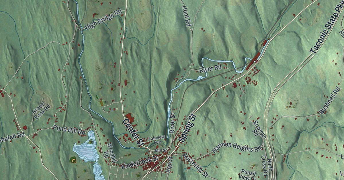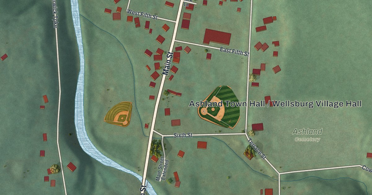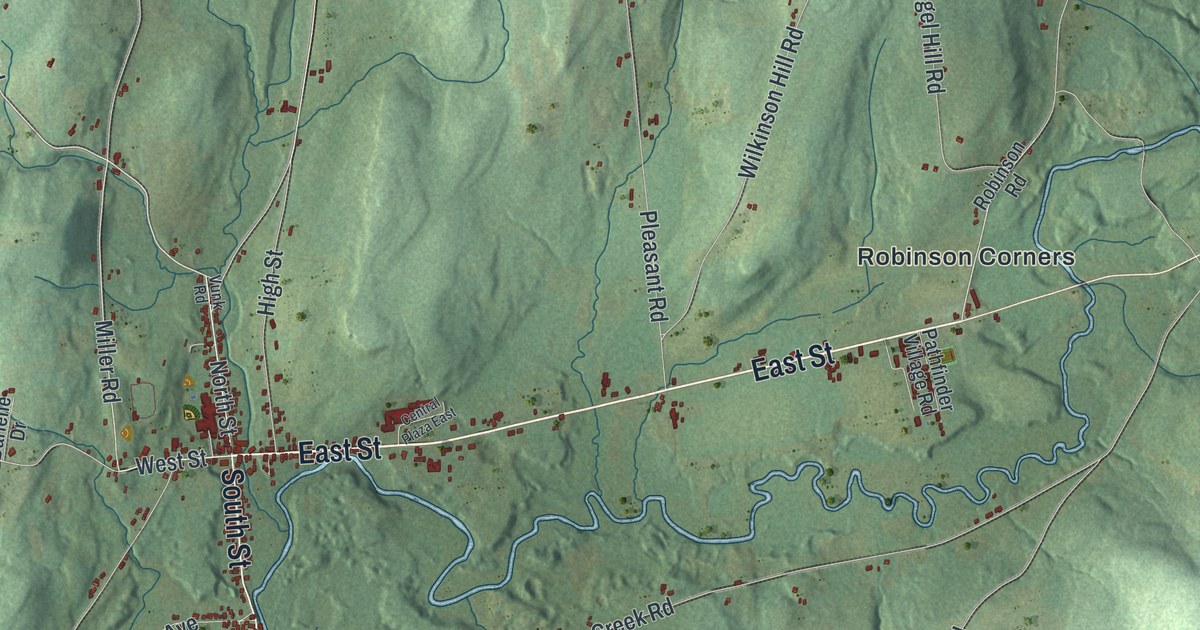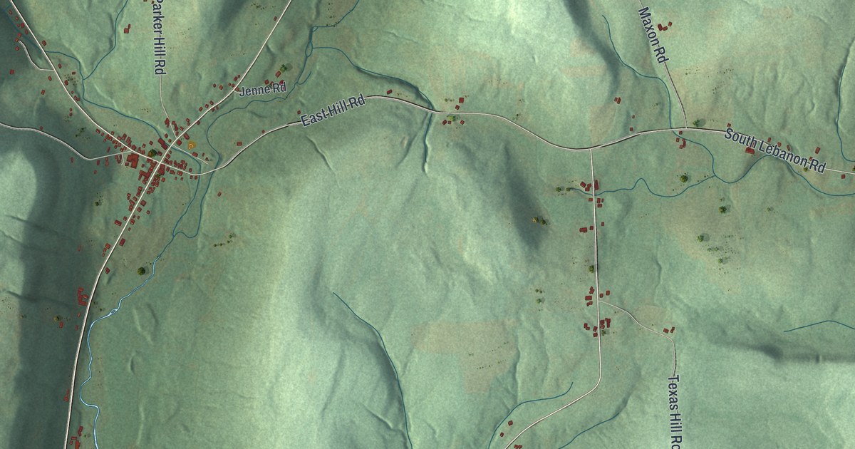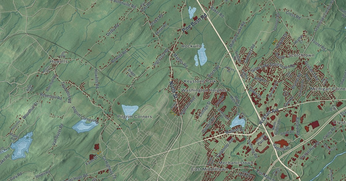
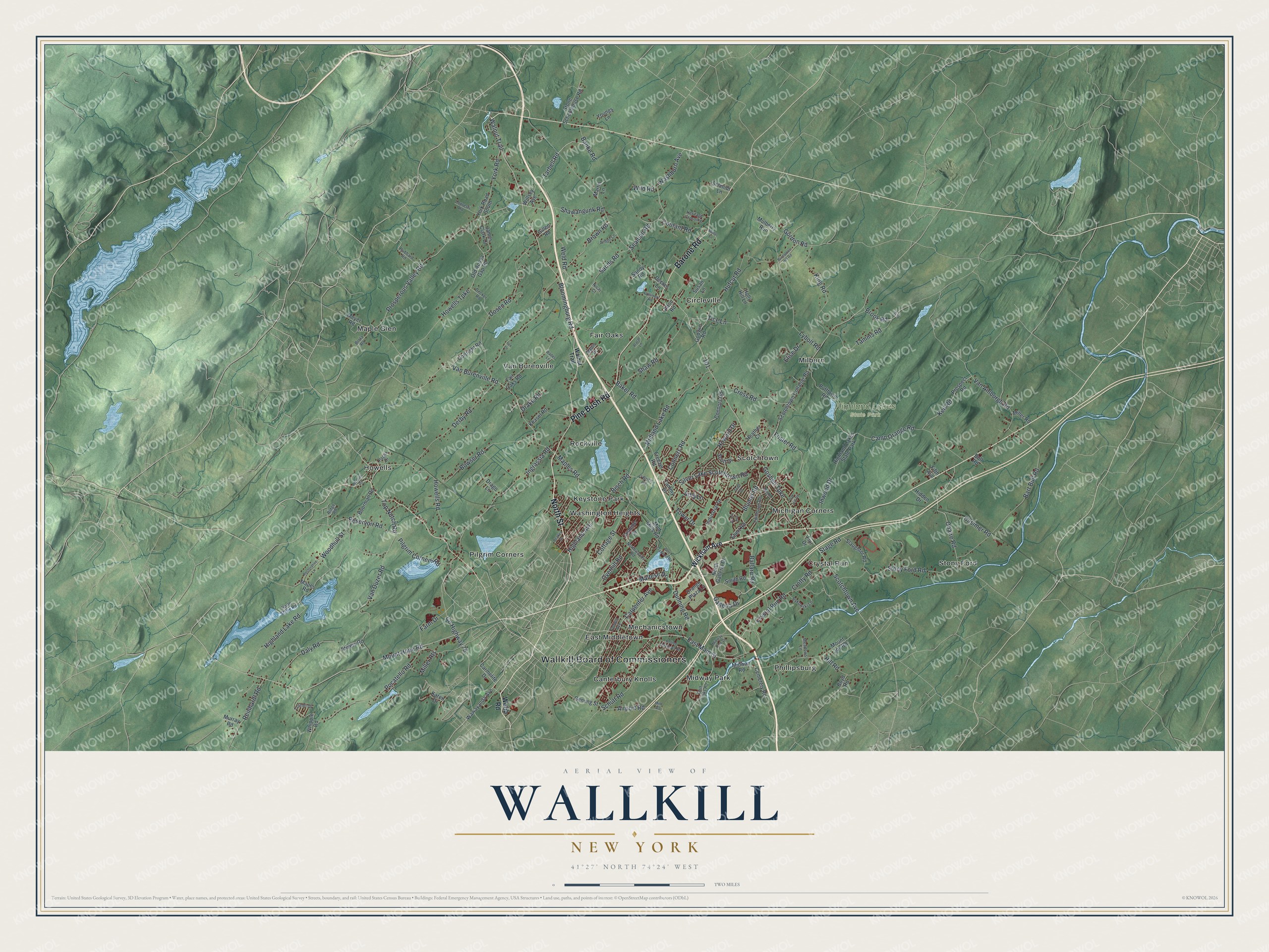
This beautifully detailed map of Wallkill, New York was created in 2026 using aerial imagery combined with modern topographical, census, street and landmark data. It’s a one-of-a-kind view of Wallkill that combines accurate data with a vintage aesthetic. The map shows every building in its true location, many of the roads carry their names, and the shaded topographic relief shows the shape of the land.
Explore an aerial view of Wallkill, New York
On the map you’ll find Wallkill Board of Commissioners, Canterbury Knolls, Circleville, Crystal Run, East Middletown, Fair Oaks, and Highland Lakes State Park, along with North Street, Barone Road, Pine Bush Road, Wickham Avenue, and more. If you look closely you can even find your house accurately drawn in its correct location. Zoom in on the preview to look for yours.
Did You Know?
Wallkill was established as a town in 1772. Henry Wisner and Moses Phillips, who married into his family, ran powder mills at Phillipsburgh and Craigville. In the American Revolution those mills supplied gunpowder to the soldiers of the new nation.
Take a closer look at the Wallkill map
Names on this map
These names are printed on this map.
Places: Wallkill Board of Commissioners, Highland Lakes State Park, Canterbury Knolls, Circleville, Crystal Run, East Middletown, Fair Oaks, Howells, Keystone Park, Maple Glen, Mechanicstown, Michigan Corners, Midway Park, Milburn, Phillipsburg, Pilgrim Corners, Rockville, Scotchtown, Stony Ford, Van Burenville and Washington Heights.
Streets and roads: North Street, Barone Road, Pine Bush Road, Mount Hope Road, Prosperous Valley Road, East Main Street, Foster Road, Maples Road, Van Burenville Road, County Highway 78, Camp Orange Road, Weld Road.
More street names, A to Z
Acorn Avenue, Airport Road, Alton Road, Amy Lane, Ararat Lane, Arnott Lane, Baker Road, Ballard Road, Banke Road, Bart Bull Road, Beakes Street, Bert Crawford Road, Beth Drive, Bisch Road, Bloomingburg Road, Blumel Road, Boorman Road, Bowser Road, Boyd Road, Brimstone Hill Road, Brola Road, Brook Road, Brown Road, Bull Road, Carmelite Drive, Carpenter Avenue, Casimer Road, Cemetery Road, Conners Road, Connors Road, Cortright Road, Corwin Avenue, Cottage Street, Coutant Road, Creamery Road, Cross Road, Crotty Road, Crystal Run Road, Daly Road, Decker Lane, Decker Road, Derby Road, Dosen Road, Drago Lane, Drake Road, Dunning Road, Ebert Road, Edinburgh Road, Elise Drive, Fair Oaks Road, Farm Drive, Fifth Avenue, Fini Drive, Fox Lane, Freezer Road, Galleria Drive, Genung Street, Gillen Road, Godwin Road, Golf Links Road, Gordon Road, Goshen Turnpike, Heather Court, Heritage Crossing, Hidden Drive, Highland Avenue, Highland Lake Road, Hill Road, Holly Hill Lane, Howard Drive, Howells Road, Howells Turnpike, Hubbard Road, Hufcut Road, Industrial Drive, Ingrassia Road, Inwood Drive, James Clark Drive, Jasmine Drive, Karen Drive, Keasel Road, Keil Road, King Road, Last Road, Lopresti Road, Lorelei Drive, Lybolt Road, Maltese Drive, Mapes Road, Maple Drive, Martin Lane, McGinn Road, Meadows Lane, Meyer Road, Midland Lake Road, Midway Park Drive, Midway Road, Miller Heights, Miller Road, Milo Road, Mount Joy Road, Mud Mills Road, Mulberry Run, Muller Lane, Murray Road, Nicaj Court, North Galleria Drive, North Shore Road, Northwoods Road, O'Brien Road, Oak Hill Road, Ohaire Road, Old Roosa Gap Road, Orange Plaza Lane, Overhill Road, Paglia Drive, Pilgrim Corners Road, Pocatello Road, Prospect Road, Pufftown Road, Reinhardt Road, Reservoir Road, Restorative Lane, Ridge Road, Rolling Meadows Road, Rykowski Lane, Sands Road, Sandy Road, Schmidt Lane, Schutt Road, Scotchtown Avenue, Scotchtown Collabar Road, Scott Drive, Seaman Road, Shawangunk Road, Shaw Road, Silver Lake Scotchtown Road, Slaughter Road, Smith Road, Stage Road, Stivers Road, Stone Schoolhouse Road, Stony Ford Road, Susan Lane, Tamms Road, Tammy Drive, Tarbell Road, Tice Lane, Todd Drive, Top Notch Road, Tower Drive, Van Amburgh Road, Van Duzer Road, Wades Lane, Walnut Trail, Washburn Avenue, Wawayanda Avenue, Webb Road, Whipple Road, Wickham Avenue, Wild Road, Willsey Avenue, Woodhull Street, York Road, York Road South, Youngs Lane.
See it on a wall
The Wallkill map as a framed print. Swipe for more.


This beautifully detailed map of Wallkill makes an attractive addition to your office, library, or den, and it can even be used to teach children the geography and history of the area. It also makes a great gift for anyone who grew up in Wallkill or moved away. When you’re done exploring, click here to get your copy of the Wallkill map.