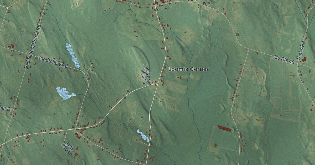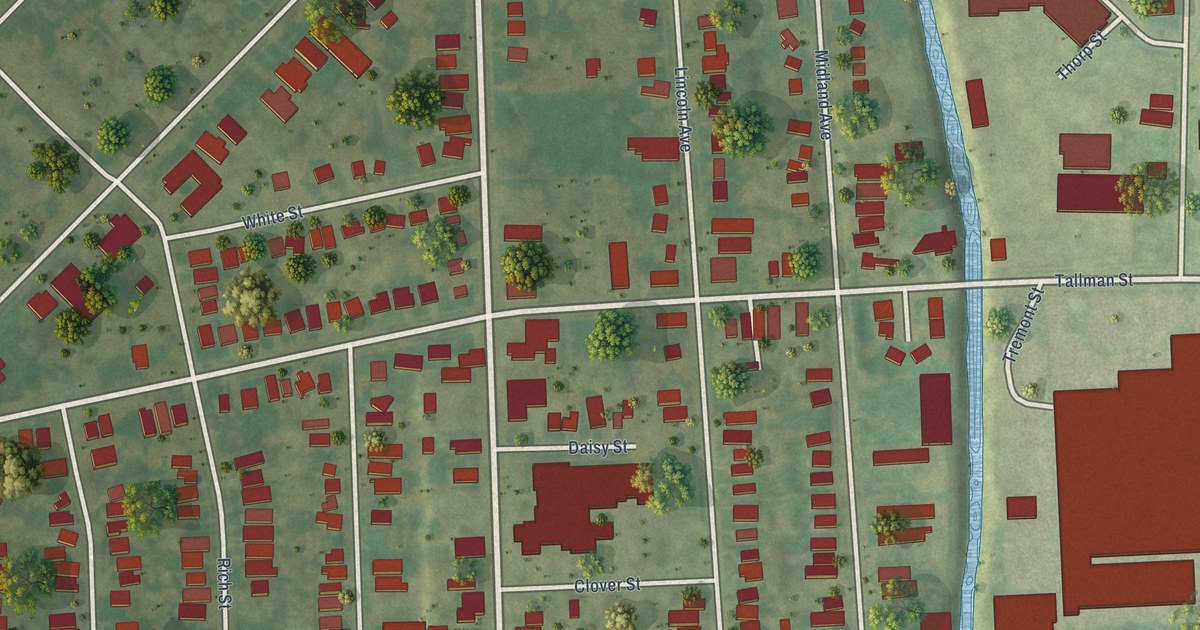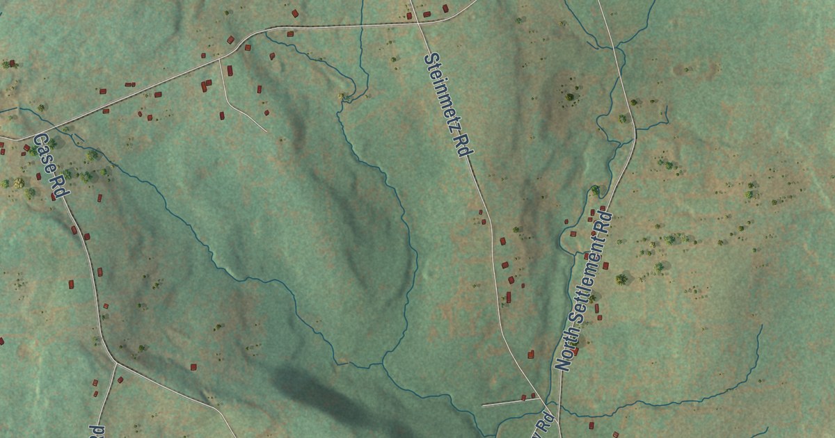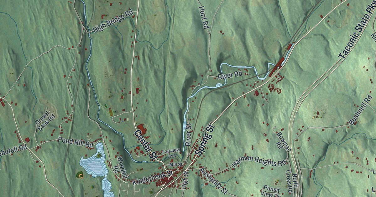
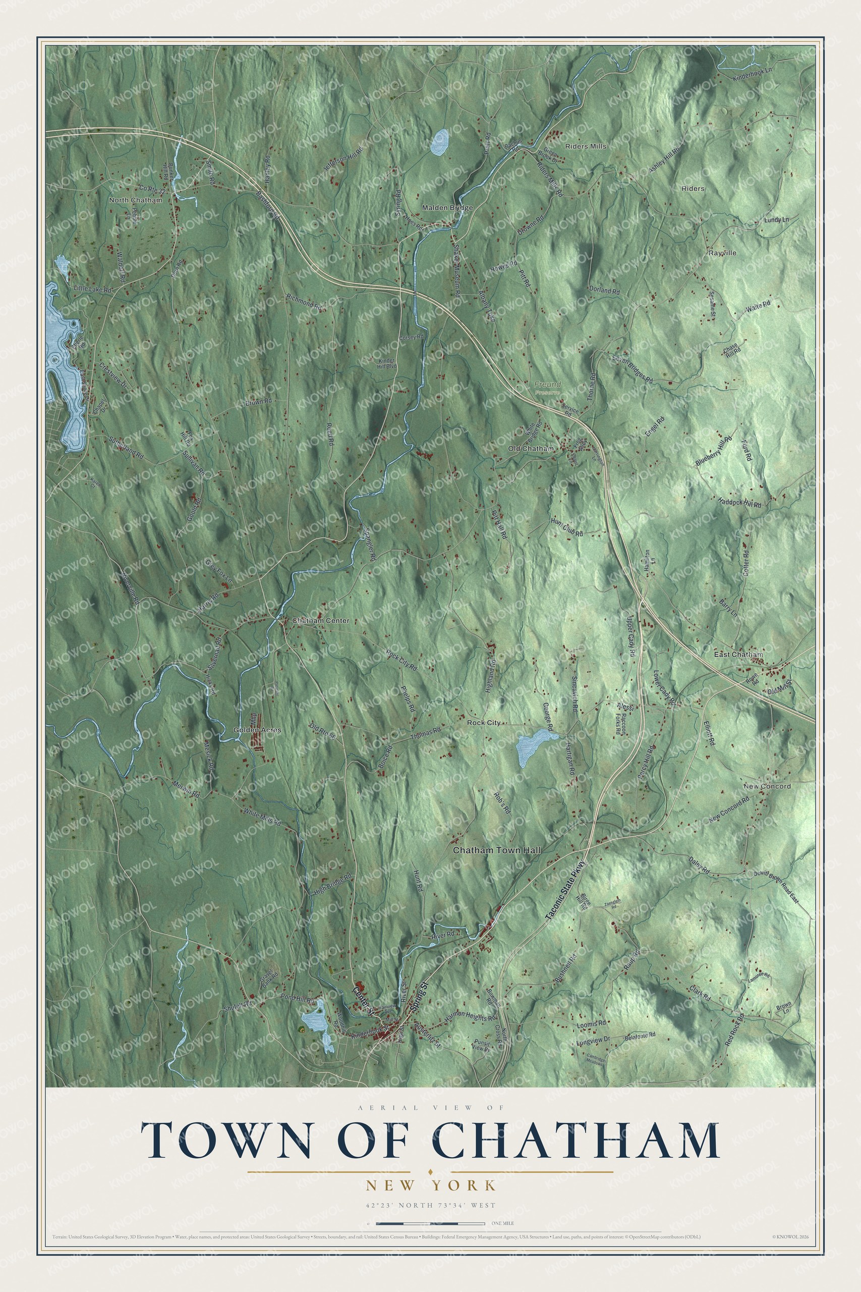
This beautifully detailed map of the Town of Chatham, New York was created in 2026 using aerial imagery combined with modern topographical, census, street and landmark data. It’s a one-of-a-kind view of the Town of Chatham that combines accurate data with a vintage aesthetic. The map shows every building in its true location, many of the roads carry their names, and the shaded topographic relief shows the shape of the land.
Explore an aerial view of the Town of Chatham, New York
On the map you’ll find Chatham Town Hall, North Chatham, Riders Mills, Riders, Rayville, New Concord, and Freund Preserve, along with Spring Street, Taconic State Parkway, Center Street, Red Rock Road, and more. If you look closely you can even find your house accurately drawn in its correct location. Zoom in on the preview to look for yours.
Did You Know?
Chatham was formed in 1795 from parts of Canaan and Kinderhook. In 1887 a terminal designed by architect Henry Hobson Richardson was built there. By the early 1900s Chatham was a busy rail center where several lines met. Its lines reached east and west, north into Vermont, and to New York City.
Take a closer look at the Town of Chatham map
Names on this map
These names are printed on this map.
Places: Chatham Town Hall, North Chatham, Riders Mills, Riders, Rayville, New Concord, Freund Preserve, Chatham Center, East Chatham, Golden Acres, Malden Bridge, Old Chatham and Rock City.
Streets and roads: Spring Street, Taconic State Parkway, Center Street, Red Rock Road, Kinderhook Street, Pond Hill Road, River Street, Bushnell Road, Ashley Hill Road, Harmon Heights Road, Niverville Road, Thorne Road.
More street names, A to Z
Albany Turnpike, Alessi, Austerlitz Street, Bachus Road, Barry Lane, Bashford Road, Belafonte Road, Birge Hill Road, Blueberry Hill Road, Boice Road, Bowman Road, Brown Lane, Brown Road, Bunker Hill Road, Cambridge Meadows, Chapel Drive, Chase Hill Road, Clark Road, Corsey Road, Cotter Road, County Route 32, Crestview Drive, Daley Road, Depot Lane, Dewitt Brown Road East, Dorland Road, Dorn Road, Drowne Road, East Shore Drive, Eberle Road, Elliott Road, Engel Road, Fairview Avenue, Ford Road, Fox Hill Road, Frog Alley, George Road, Goold Road, Gravel Bank Road, Green Brook Drive, Grey Fox Lane, Haddock Hill Road, Hamilton Lane, Hanley Road, Harrington Lane, Harris Road, Hartigan Road, Hicks Road, High Bridge Road, Highland Road, High Street, Hoes Road, Howes Road, Hunt Club Road, Hunt Road, Jefferson Hill Road, Karen Court, Kinder Hill Boulevard, Kinderhook Lane, Lamoree Road, Little Lake Road, Longview Drive, Loomis Road, Lower Cady Road, Lundy Lane, Merwin Road, Mesick Road, Mhp, Mill Street, New Concord Road, North Cross Road, Old Mill Street, Old Route 66, Pebble Lane, Percy Hill Road, Phelps Road, Pitt Hall Road, Pitt Road, Pratt Road, Prevratil Road, Punsit View Drive, Raccoon Forks Road, Raup Road, Reed Road, Richmond Road, Riders Mills Road, River Road, Rob's Road, Rock City Road, Rowe Road, Service Road, Sesame Street, Seven Bridges Road, Shaker Museum Road, Shufelt Road, Silvernail Road, Sincavich Road, Smith Road, Spangler Road, Sullivan Road, Sutherland Road, Syring Road, Thomas Road, Upper Cady Road, Waite Road, Waldorf Road, White Bridge Road, White Mills Road, Woodhill Road, Zaenglein Road.
See it on a wall
The Chatham map as a framed print. Swipe for more.


This beautifully detailed map of the Town of Chatham makes an attractive addition to your office, library, or den, and it can even be used to teach children the geography and history of the area. It also makes a great gift for someone who left the Town of Chatham and still calls it home. When you’re done exploring, click here to get your copy of the Town of Chatham map.