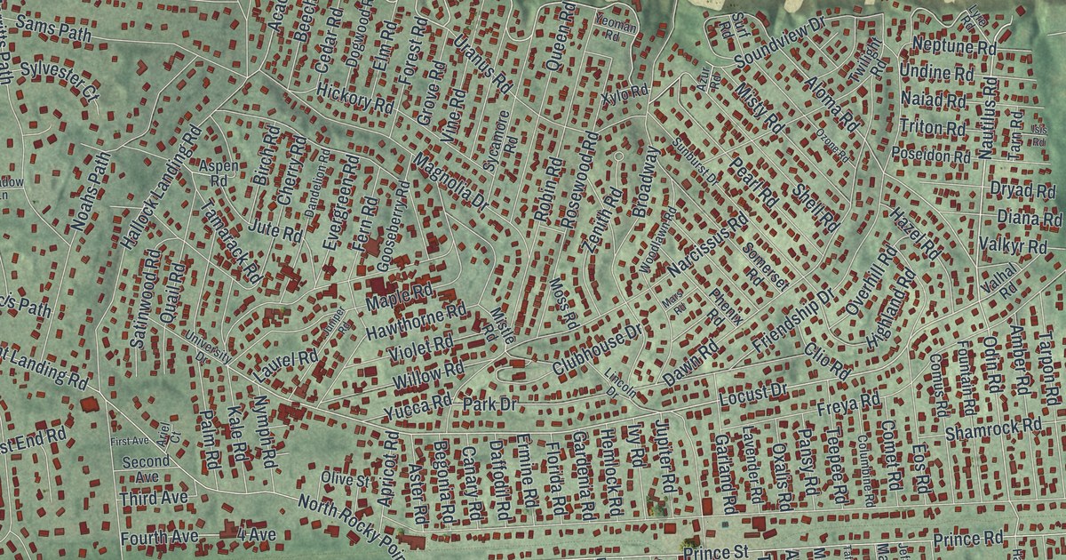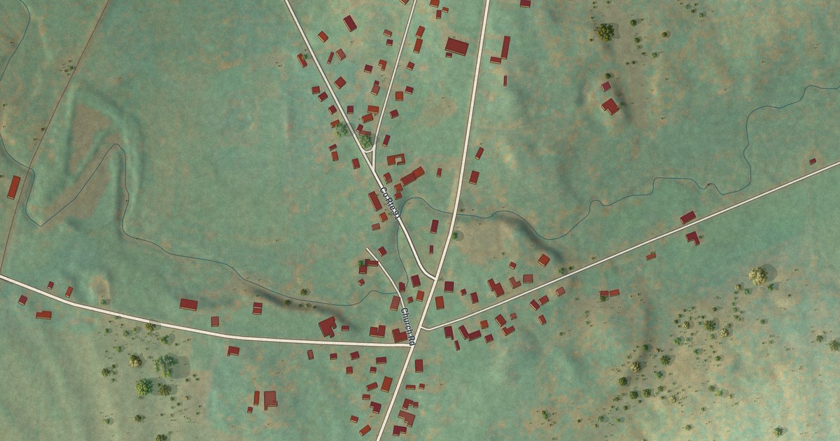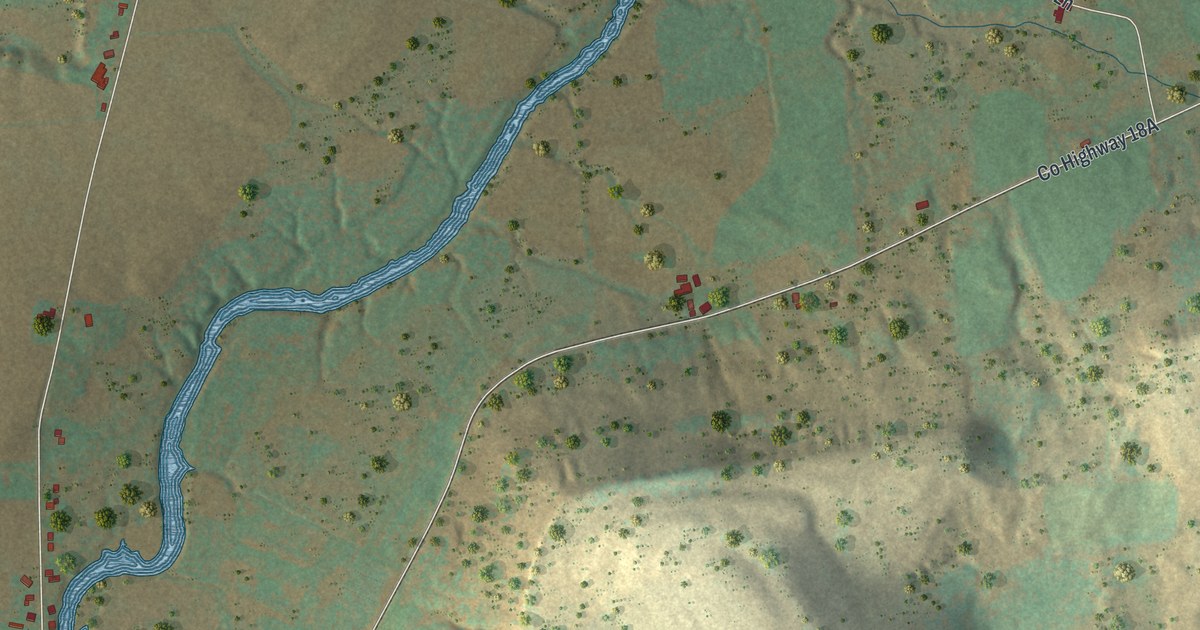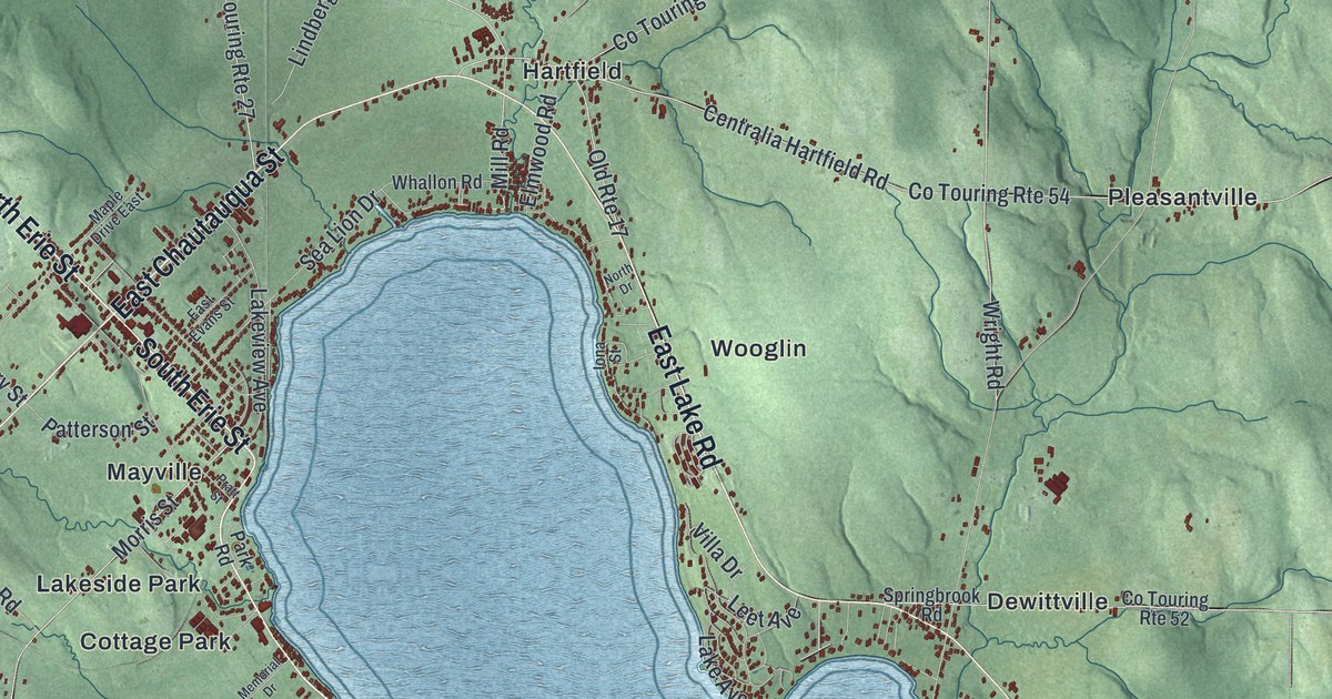
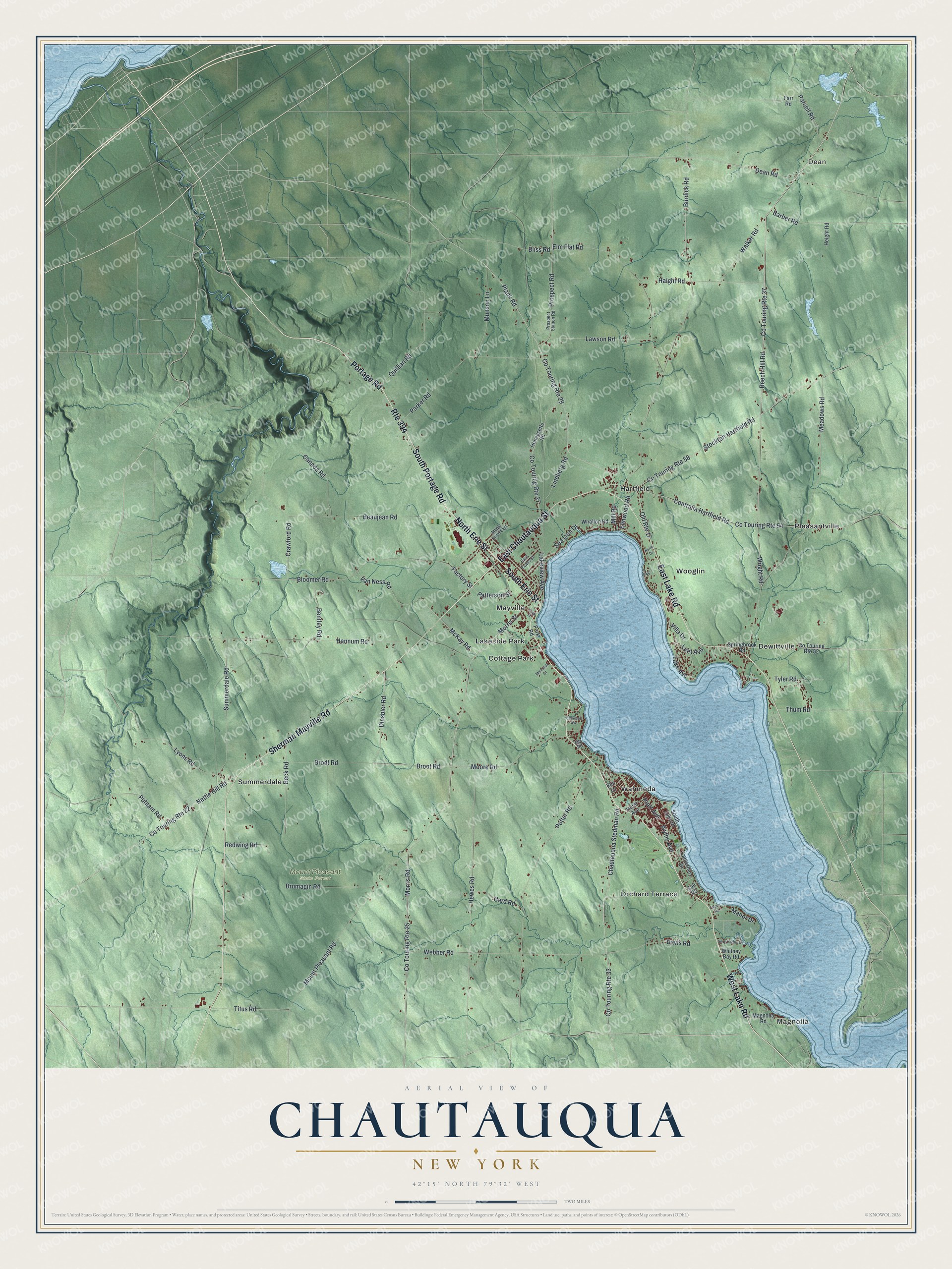
This beautifully detailed map of Chautauqua, New York was created in 2026 using aerial imagery combined with modern topographical, census, street and landmark data. It’s a one-of-a-kind view of Chautauqua that combines accurate data with a vintage aesthetic. The map shows every building in its true location, many of the roads carry their names, and the shaded topographic relief shows the shape of the land.
Explore an aerial view of Chautauqua, New York
On the map you’ll find Magnolia, Dean, Cottage Park, Dewittville, Hartfield, and Mount Pleasant State Forest, along with Lake Road, Portage Road, Chautauqua Street, Erie Street, Sherman Mayville Road, and more. If you look closely you can even find your house accurately drawn in its correct location. Zoom in on the preview to look for yours.
Did You Know?
Chautauqua was formed in 1805 from the town of Batavia, while the land was still in Genesee County. The first settler arrived a year earlier, near present-day Mayville. It is called the mother of towns, since all the others in the county were once part of it.
Take a closer look at the Chautauqua map
Names on this map
These names are printed on this map.
Places: Magnolia, Dean, Mount Pleasant State Forest, Cottage Park, Dewittville, Hartfield, Lakeside Park, Mayville, Orchard Terrace, Pleasantville, Summerdale, Wahmeda and Wooglin.
Streets and roads: Route 394, West Lake Road, South Portage Road, East Chautauqua Street, East Lake Road, North Erie Street, South Erie Street, Sherman Mayville Road, Portage Road, Beech Hill Road, Co Touring Route 37, Wright Road.
More street names, A to Z
Barber Road, Beaujean Road, Beck Road, Bentley Road, Bliss Road, Bloomer Road, Brodt Road, Broot Road, Brumagin Road, Burdick Road, Canada Road, Canterbury Drive, Card Road, Centralia Hartfield Road, Chautauqua Stedman Road, Co Touring Route 22, Co Touring Route 25, Co Touring Route 27, Co Touring Route 29, Co Touring Route 33, Co Touring Route 52, Co Touring Route 54, Co Touring Route 58, Crawford Road, Davis Road, Dean Road, Dinsbier Road, East Evans Street, Elm Flat Road, Elm Lane, Elmwood Avenue, Elmwood Road, Factory Street, Falcon Road, Farr Road, Gull Road, Haight Road, Hannum Road, Height Road, Hewes Road, Honeysette Road, Hurst Avenue, Iona Street, Lake Avenue, Lakeview Avenue, Lawson Road, Leet Avenue, Lindberg Road, Lyons Road, Magnolia Road, Manor Drive, Maple Drive East, McKay Road, Meadows Road, Memorial Drive, Mill Road, Mlp Road, Moore Road, Morris Road, Morris Street, Mount Pleasant Road, Munson Lane, Nettle Hill Road, North Drive, Old Route 17, Parcell Road, Parker Road, Park Road, Patterson Street, Plank Road, Potter Road, Pratt Avenue, Pratt Street, Prospect Road, Prospect Station Road, Putnam Road, Quillian Road, Redwing Road, Sea Lion Drive, Snug Harbor Drive, South Lake Drive, Springbrook Road, Stockton Hartfield Road, Summerdale Road, Thum Road, Titus Road, Tyler Road, Van Ness Road, Villa Drive, Walker Road, Webber Road, Whallon Road, Whitney Bay Road, Wythe Avenue.
See it on a wall
The Chautauqua map as a framed print. Swipe for more.


This beautifully detailed map of Chautauqua makes an attractive addition to your office, library, or den, and it can even be used to teach children the geography and history of the area. It also makes a great gift for anyone with Chautauqua roots. When you’re done exploring, click here to get your copy of the Chautauqua map.