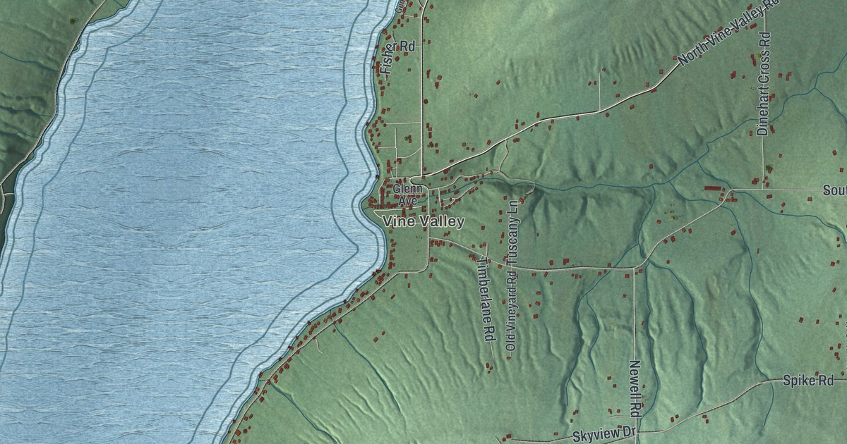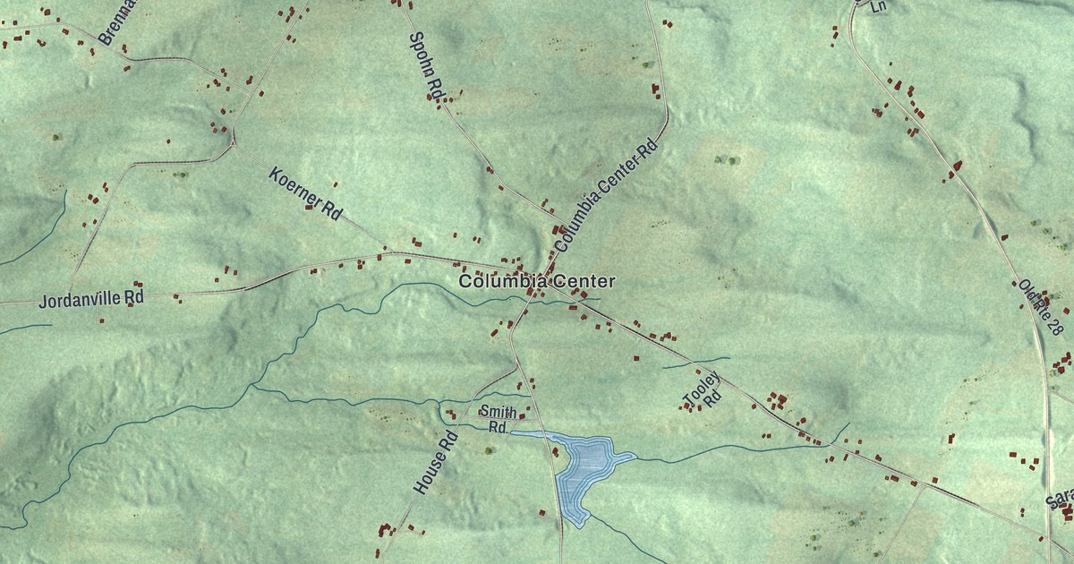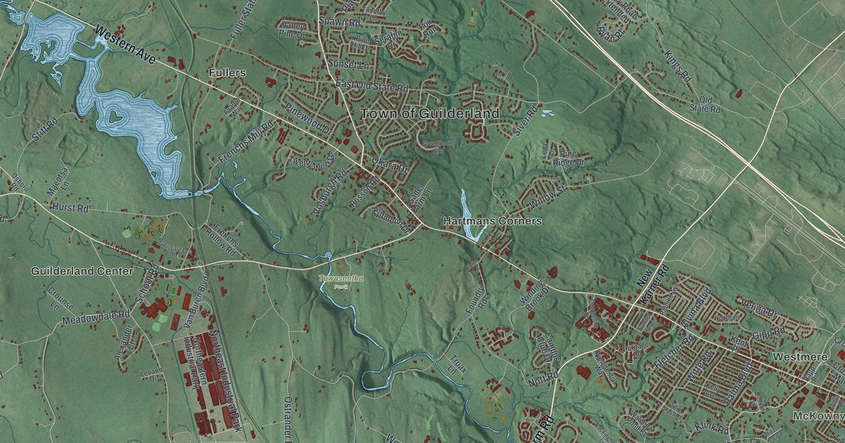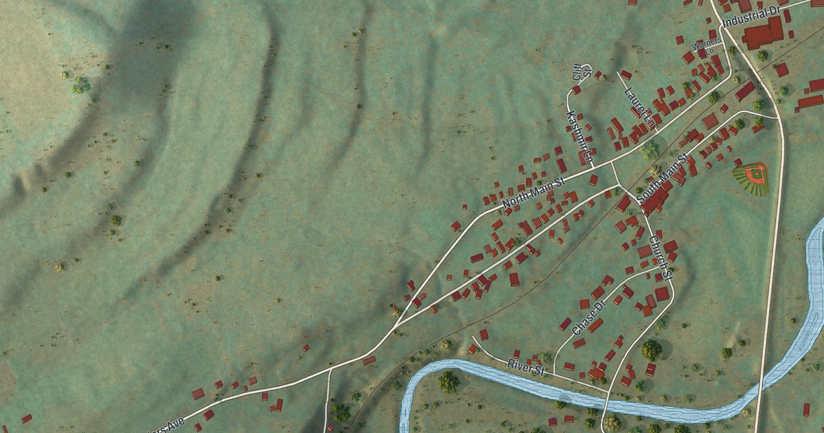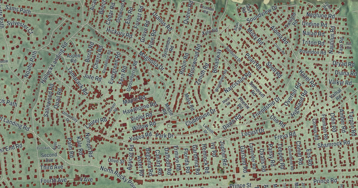
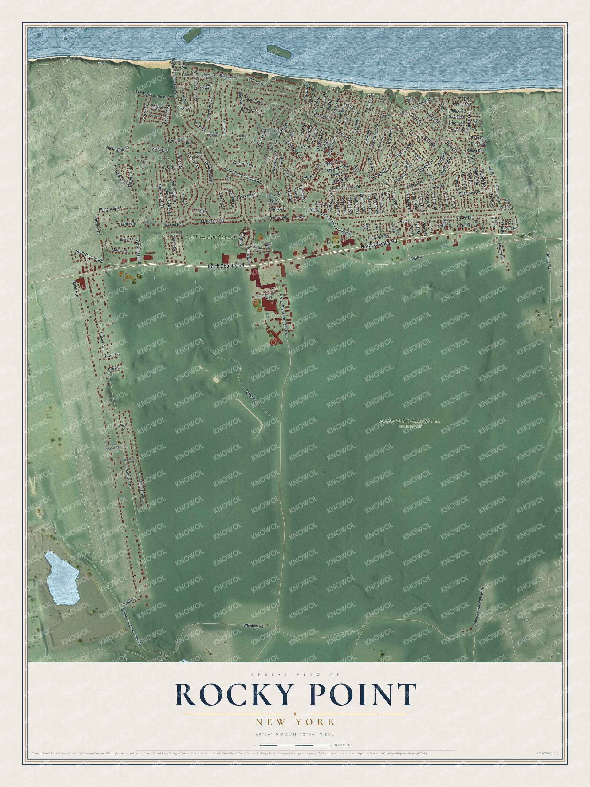
This beautifully detailed map of Rocky Point, New York was created in 2026 using aerial imagery combined with modern topographical, census, street and landmark data. It’s a one-of-a-kind view of Rocky Point that combines accurate data with a vintage aesthetic. The map shows every building in its true location, many of the roads carry their names, and the shaded topographic relief shows the shape of the land.
Explore an aerial view of Rocky Point, New York
On the map you’ll find Rocky Point Pine Barrens State Forest, along with Country Road, Nautilus Road, Brookhaven Drive, Locust Drive, Soundview Drive, and more. If you look closely you can even find your house accurately drawn in its correct location. Zoom in on the preview to look for yours.
Did You Know?
RCA ran a large radio station called Radio Central at Rocky Point, opening it on November 5, 1921. AT&T placed its transmitter there too. On January 7, 1927, AT&T began the first commercial telephone service across the Atlantic, between New York and London. The site shut down in 1978.
Take a closer look at the Rocky Point map
Names on this map
These names are printed on this map.
Places: Rocky Point Pine Barrens State Forest and Tall Tree Golf Course.
Streets and roads: North Country Road, Bypass, Nautilus Road, Brookhaven Drive, Locust Drive, Soundview Drive, Hunter Avenue, Odin Road, Acacia Road, Natures Lane, Aloma Road, Rocky Point Yaphank Road.
More street names, A to Z
4 Avenue, Adams Street, Amber Road, Anthony Drive, Apricot Road, Ariel Court, Arthur Avenue, Aspen Road, Aster Road, Azur Road, Babylon Drive, Beech Road, Begonia Road, Birch Road, Blue Road, Bobcat Lane, Boblin Lane, Bracken Lane, Briar Court, Brightview Drive, Broadway, Bunker Street, Caddy Place, Canary Road, Carroll Court, Cedar Road, Cherry Road, Chestnut Hill Road, Cliff Court, Clifton Avenue, Clio Road, Clubhouse Drive, Columbine Road, Comet Road, Comus Road, Condor Road, Crown Road, Culross Drive, Daffodil Road, Dana Court, Dandelion Road, Dawn Road, Deepdale Drive, Diana Road, Dogwood Road, Dora Road, Dryad Road, Eagle Road, East End Road, Elm Road, Eos Road, Ermine Road, Estate Court, Evergreen Road, Fairway Drive, Ferndale Road, Fern Road, Ficus Road, First Avenue, Fish Road, Flamingo Road, Florida Road, Forest Road, Fountain Road, Fourth Avenue, Francis Path, Freya Road, Friendship Drive, Gardenia Road, Garland Road, Gooseberry Road, Grant Road, Grove Road, Hagerman Landing Road, Hallock Landing Road, Hallock Lane, Harding Street, Hawthorne Road, Hazel Road, Hemlock Road, Hewlett Drive, Hickory Road, Highland Road, Hillside Avenue, Hilltop Court, Huntington Road, Industrial Way, Isis Road, Ivy Road, Jefferson Street, Jonah Road, Judith Court, Juniper Road, Jupiter Road, Jute Road, Kale Road, King Road, Kings Walk, Larch Road, Laurel Road, Lavender Road, Lightning Lane, Lincoln Drive, Longview Avenue, Lower Rocky Point Road, Lyre Road, Madison Street, Magnolia Drive, Mahogany Road, Malverne Road, Maple Road, Mark Drive, Mars Road, Meadow Lane, Meroke Lane, Merritts Path, Miller Place-Yaphank Road, Mistle Road, Misty Road, Model Court, Monroe Street, Moss Road, Naiad Road, Narcissus Road, Neptune Road, Noahs Path, North Rocky Point Landing Road, North Suffolk Drive, Nymph Road, Oakhills Drive, Oakwood Road, Olive Street, Overhill Road, Oxalis Road, Ozone Road, Palm Road, Pansy Road, Park Drive, Park Road, Patchogue Drive, Peacock Road, Pearl Road, Phenix Road, Plandome Road, Polk Street, Poseidon Road, Prince Road, Prince Street, Quail Road, Queen Road, Radio Avenue, Ridge Road, Robin Road, Rock Hall Lane, Rockhill Road, Rockledge Court, Rocky Mountain Way, Rocky Point Landing Road, Rosewood Road, Sams Path, Satinwood Road, Second Avenue, Shamrock Road, Shell Road, Short Lane, Solitaire Road, Somerset Road, Soundway Drive, Suffolk Drive, Sunburst Drive, Sun Road, Surf Road, Swan Road, Sycamore Road, Sylvan Road, Sylvester Court, Taft Street, Tall Tree Lane, Tamarack Road, Tarn Road, Tarpon Road, Teepee Road, The Lane, Third Avenue, Thunder Road, Town Avenue, Triton Road, Twilight Road, Tyler Street, Undine Road, University Drive, Uranus Road, Valhal Road, Valkyr Road, Van Buren Street, Vine Road, Violet Road, Wading River Hollow Road, Walnut Road, Water Road, Westchester Drive, Whiskey Road, Whitewood Drive, Wildwood Road, Willow Road, Wilson, Woodlawn Road, Wood Path, Wood Road, Xylo Road, Yeoman Road, Yucca Road, Zenith Road.
See it on a wall
The Rocky Point map as a framed print. Swipe for more.


This beautifully detailed map of Rocky Point makes an attractive addition to your office, library, or den, and it can even be used to teach children the geography and history of the area. It also makes a great gift for anyone with Rocky Point roots. When you’re done exploring, click here to get your copy of the Rocky Point map.