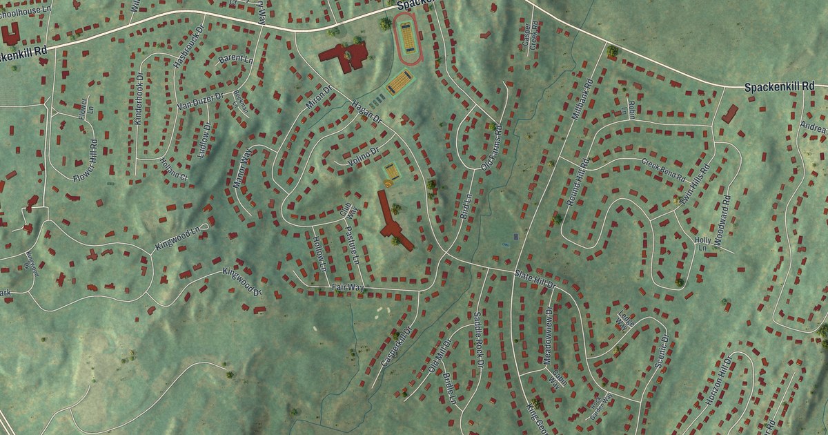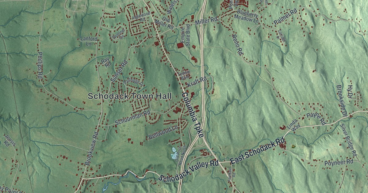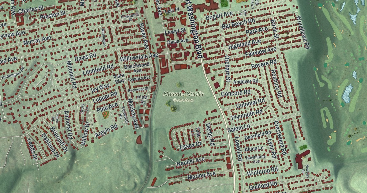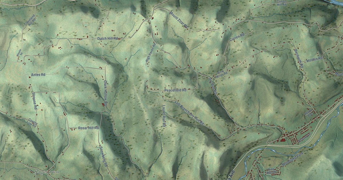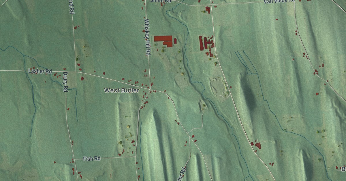
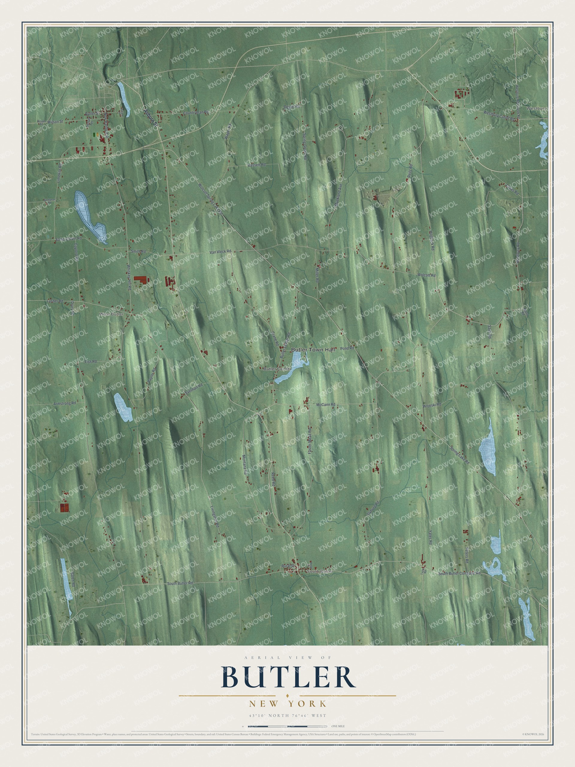
This beautifully detailed map of Butler, New York was created in 2026 using aerial imagery combined with modern topographical, census, street and landmark data. It’s a one-of-a-kind view of Butler that combines accurate data with a vintage aesthetic. The map shows every building in its true location, many of the roads carry their names, and the shaded topographic relief shows the shape of the land.
Explore an aerial view of Butler, New York
On the map you’ll find Butler Town Hall, Westbury, South Butler, West Butler, and Butler Center, along with Auburn Street, Westbury Road, Reitz Road, New Hartford Street, and more. If you look closely you can even find your house accurately drawn in its correct location. Zoom in on the preview to look for yours.
Did You Know?
In 1852 Antoinette Brown was offered the post of minister at a Congregational church in South Butler. She was ordained by Luther Lee, a Wesleyan Methodist minister. She was the first woman in the United States ordained as a minister of a mainstream Protestant church.
Take a closer look at the Butler map
Names on this map
These names are printed on this map.
Places: Butler Town Hall, Westbury, South Butler, West Butler and Butler Center.
Streets and roads: Auburn Street, Westbury Road, Reitz Road, New Hartford Street, South Butler Conquest Road, South Butler Road, Hogback Road, Van Vleck Road, Spring Lake Road, Wolcott Spring Lake Road, Whiskey Hill Road, Wolcott Road.
More street names, A to Z
Armstrong Road, Bassett Road, Blass Road, Buchanan Road, Butler Center Road, Butler Street, Countryman Road, Crane Road, Deigel Road, Drury Road, Everhart Road, Fish Road, Foster Mead Road, Galen Road, Gaylord Road, Lagas Road, Lasher Road, Limekiln Road, Livingston Road, McCann Road, Miller Road, Montana Road, Muckland Avenue, Paylor Road, Peters Road, Pond Road, Reed Drive, Reed Road, Rural Street, Saeli Road, Salter Colvin Road, Slyburg Road, Smith Road, Spring Green Road, Sunset Terrace, Taylor Road, Wager Road, Westbury Cutoff Road, Westbury Red Creek Road, Williams Street, Wilson Road, Wilson Street, Wojeski Road, Yates Road.
See it on a wall
The Butler map as a framed print. Swipe for more.


This beautifully detailed map of Butler makes an attractive addition to your office, library, or den, and it can even be used to teach children the geography and history of the area. It also makes a great gift for someone who left Butler and still calls it home. When you’re done exploring, click here to get your copy of the Butler map.