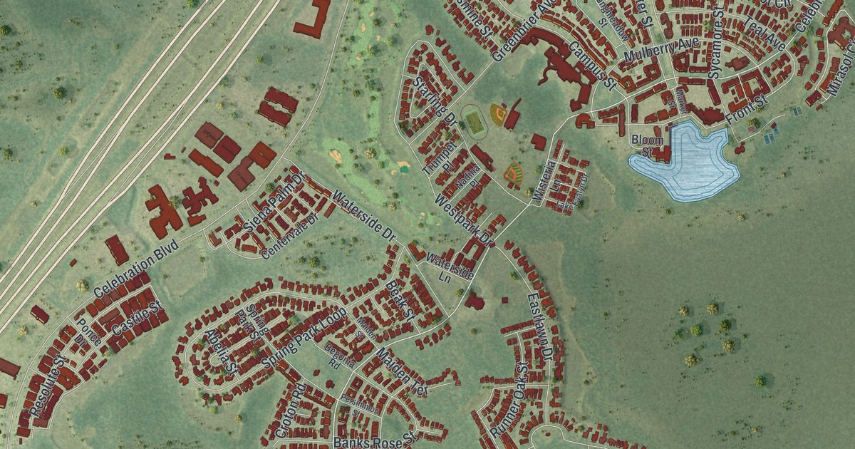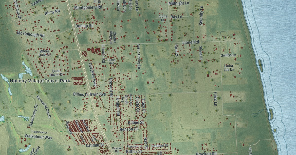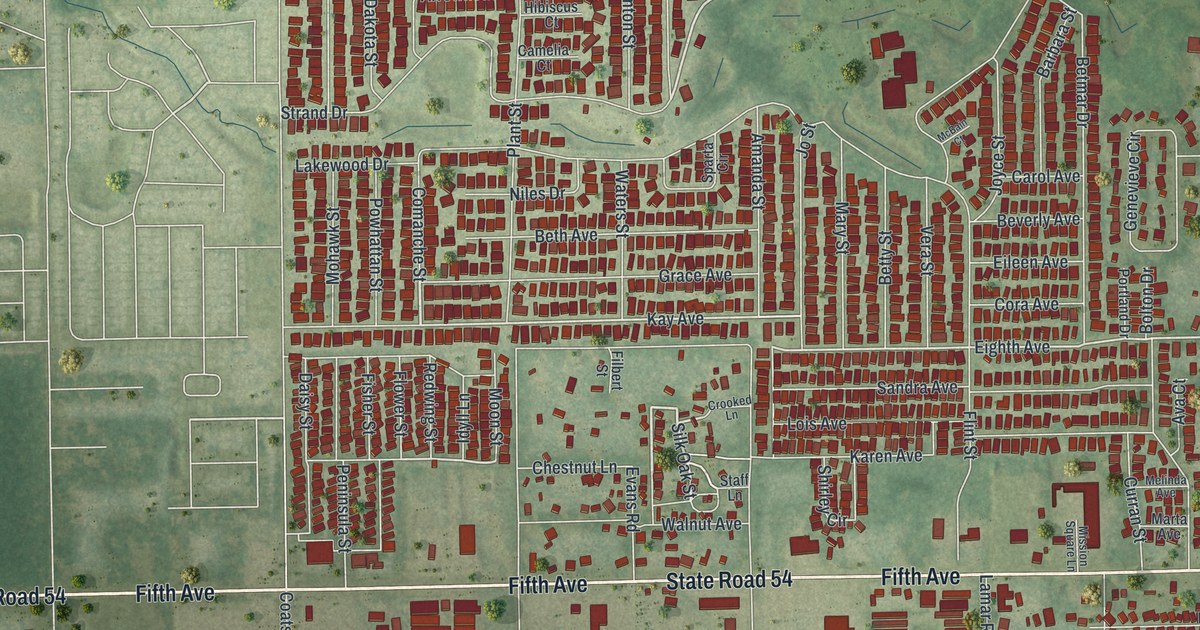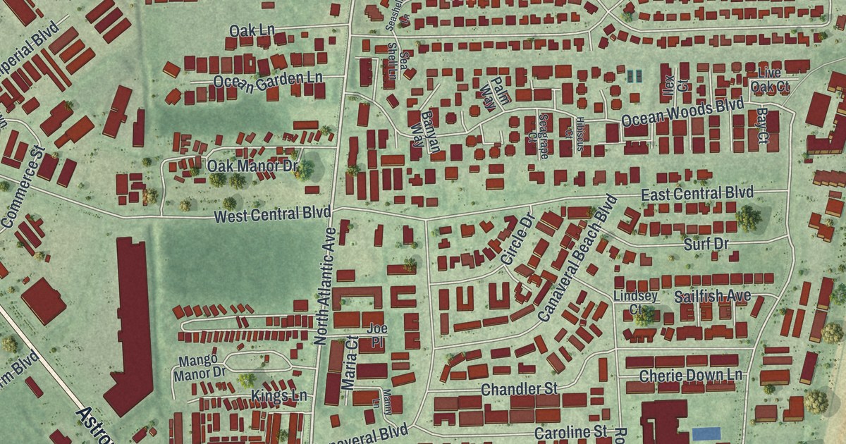
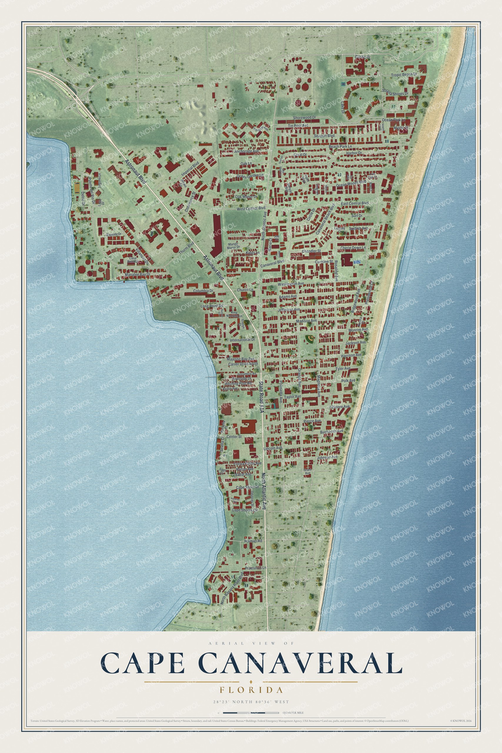
This beautifully detailed map of Cape Canaveral, Florida was created in 2026 using aerial imagery combined with modern topographical, census, street and landmark data. It’s a one-of-a-kind view of Cape Canaveral that combines accurate data with a vintage aesthetic. The map shows every building in its true location, many of the roads carry their names, and the shaded topographic relief shows the shape of the land.
Explore an aerial view of Cape Canaveral, Florida
On the map you’ll find Jetty Park, along with Astronaut Boulevard, State Road A1A, North Atlantic Avenue, Shorewood Drive, Holman Road, Beach Park Lane, Ridgewood Avenue, Oak Manor Drive, West Central Boulevard, Orange Avenue, Poinsetta Avenue, and more. If you look closely you can even find your house accurately drawn in its correct location. Zoom in on the preview to look for yours.
Did You Know?
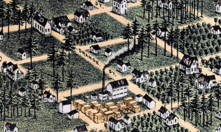
Early in the 1920s, several journalists from Orlando bought beach land here. They named their development Journalista to honor their trade. The Great Depression ruined many of the investors. R.B. Brossier, a newspaper owner, and his son Dickson then bought much of the land. The area is now called Avon-by-the-Sea.
Take a closer look at the Cape Canaveral map
Names on this map
These names are printed on this map.
Places: Jetty Park.
Streets and roads: Astronaut Boulevard, North Atlantic Avenue, Shorewood Drive, Holman Road, Beach Park Lane, Ridgewood Avenue, Oak Manor Drive, West Central Boulevard, Orange Avenue, Poinsetta Avenue, Ocean Park Lane, Harbor Drive.
More street names, A to Z
Adams Avenue, Anchorage Avenue, Aquarius Way, Aurora Court, Banyan Way, Bay Court, Bayside Drive, Brown Circle, Buchanan Avenue, Canaveral Beach Boulevard, Canaveral Boulevard, Cape Shore Drive, Cape Shores Circle, Caribe Drive, Caroline Street, Carver Drive North, Casa Bella Drive, Center Street, Chandler Street, Cherie Down Lane, Church Lane, Circle Drive, Cocoa Palms Avenue, Columbia Drive, Commerce Street, Coral Drive, Delrio Drive, East Central Boulevard, Evelyn Court, Fillmore Avenue, Grant Avenue, Harrison Avenue, Hibiscus Court, Hitching Post Road, Ilex Court, Imperial Boulevard, International Drive, Jackson Avenue, Jefferson Avenue, Joe Place, Johnson Avenue, Justamere Road, King Neptune Lane, Kings Lane, Lago Drive, Laguna Lane, Lake Drive, Lincoln Avenue, Lindsey Court, Live Oak Court, Long Point Road, Madison Avenue, Magnolia Avenue, Majestic Bay Avenue, Manatee Bay Drive, Mango Manor Drive, Manny Lane, Marbella Court, Maria Court, Monroe Avenue, Mystic Drive, North Banana River Boulevard, Oak Lane, Ocean Garden Lane, Ocean Woods Boulevard, Odyssey Street, Palm Way, Pierce Avenue, Polk Avenue, Portside Avenue, Praeturius Lane, Presidential Court, Puerto del Rio Drive, Rattan Avenue, Richie Avenue, Riverside Drive, Rosalind Avenue, Sabal Avenue, Sago Circle, Sailfish Avenue, Seagrape Court, Seaport Boulevard, Seaport South, Sea Shell Lane, Seashell Lane, Sevilla Court, Solana Shores Drive, Sunset Court, Surf Drive, Taylor Avenue, Thurm Boulevard, Tin Roof Avenue, Tropic Beach Drive, Tyler Avenue, Villanova Drive, Washington Avenue.
See it on a wall
The Cape Canaveral map as a framed print. Swipe for more.


This beautifully detailed map of Cape Canaveral makes an attractive addition to your office, library, or den, and it can even be used to teach children the geography and history of the area. It also makes a great gift for someone who left Cape Canaveral and still calls it home. When you’re done exploring, click here to get your copy of the Cape Canaveral map.