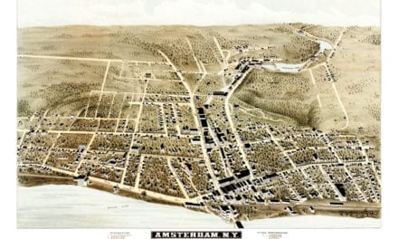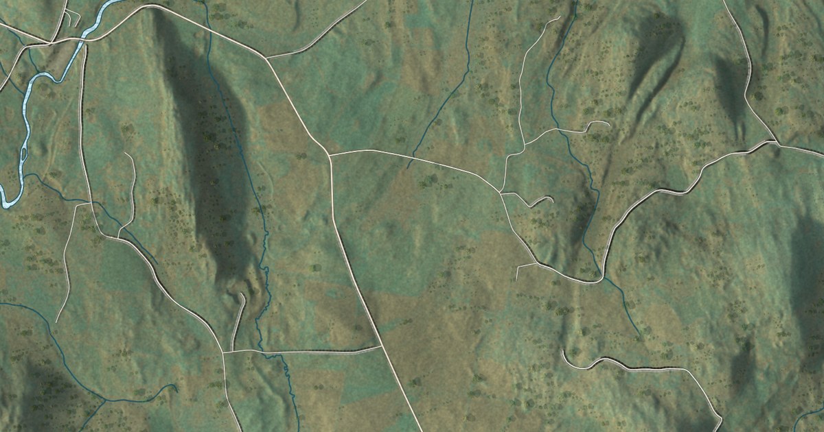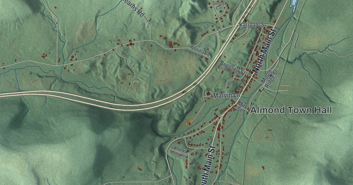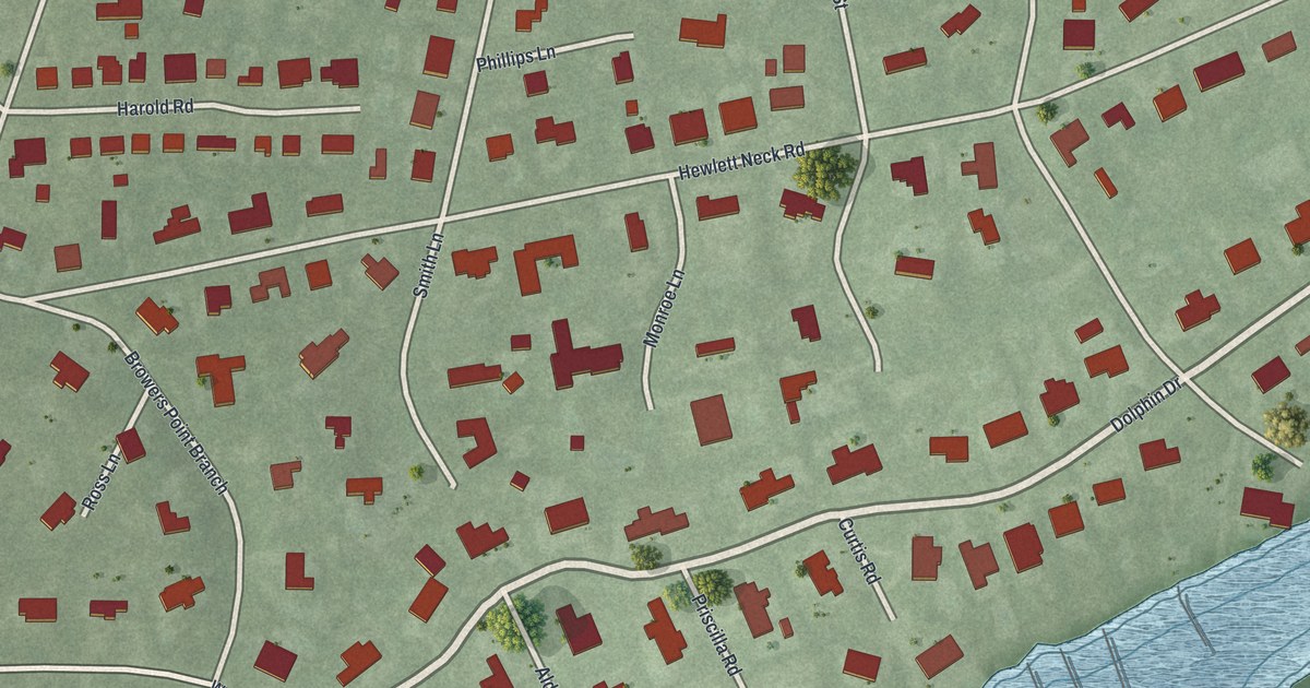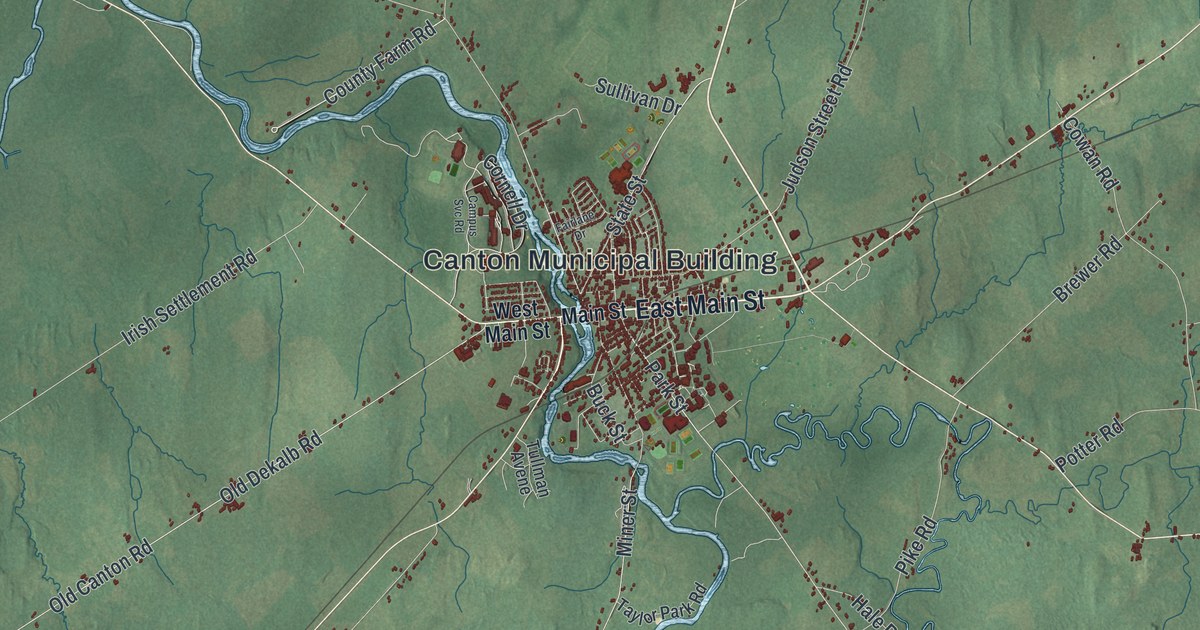
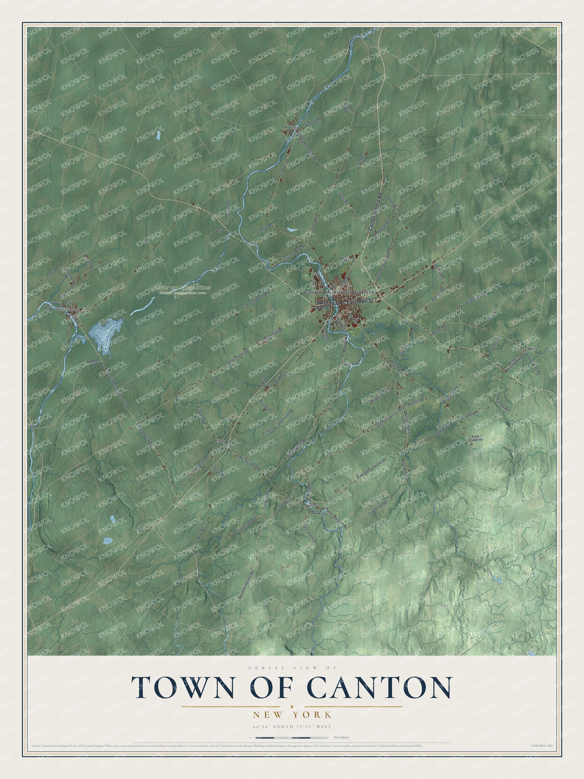
This beautifully detailed map of the Town of Canton, New York was created in 2026 using aerial imagery combined with modern topographical, census, street and landmark data. It’s a one-of-a-kind view of the Town of Canton that combines accurate data with a vintage aesthetic. The map shows every building in its true location, many of the roads carry their names, and the shaded topographic relief shows the shape of the land.
Explore an aerial view of the Town of Canton, New York
On the map you’ll find Canton Municipal Building, Crary Mills, Eddy, Morley, Pyrites, Rensselaer Falls, and Upper and Lower Lakes Wildlife Management Area, along with Main Street, Canton-Madrid Road, Hermon-Pyrites Road, Canton-Pyrites Road, and more. If you look closely you can even find your house accurately drawn in its correct location. Zoom in on the preview to look for yours.
Did You Know?
Settlers from Vermont founded Canton beside the Grass River in the early 1800s. It grew into the seat of St. Lawrence County. By 1940 it was home to St. Lawrence University and a New York State School of Agriculture, set among wide streets arched with trees. That’s from the 1940 WPA guide to New York.
Take a closer look at the Town of Canton map
Names on this map
These names are printed on this map.
Places: Canton Municipal Building, Upper and Lower Lakes Wildlife Management Area, Crary Mills, Eddy, Morley, Pyrites and Rensselaer Falls.
Streets and roads: East Main Street, Canton-Madrid Road, Hermon-Pyrites Road, Canton-Pyrites Road, Pink Schoolhouse Road, De Kalb Jct Rensselaer Falls Road, Little River Road, Meade Road, Old Canton Road, Old Dekalb Road, Miner Street, Irish Settlement Road.
More street names, A to Z
Ames Road, Barnes Road, Birch Street, Boyden Road, Brewer Road, Brick Chapel Road, Buck Street, Calnon Road, Campus Svc Road, Coakley Road, Conger Road, Cornell Drive, County Farm Road, County Route 21, County Route 21 Extension, County Route 25, County Route 27, Cousintown Road, Cowan Road, Crary Mills-Eben Road, Crotty Road, Crusher Road, Eddy-Pyrites Road, Eels Road, Fairlane Drive, Farnes Road, Finnegan Road, Forest House Road, Front Street, Giffin Road, Hale Road, Howardville Road, Jameson Road, Janes Road, Jingleville Road, Johnson Road, Judson Street Road, Kelly Road, Lincoln Road, Longshore Road, Main Street, McAdoo Road, Miner Street Road, Morley Potsdam Road, Nickerson Road, North Woods Road, Ohoro Road, Old Route 11, Old State Road, Park Street, Pike Road, Pollock Road, Potter Road, Pyrites Russell Road, Rice Road, Rich Road, Russell-Martin Corners Road, State Street, Stiles Road, Sullivan Drive, Sykes Road, Taylor Park Road, Town Line Road, Tullman Avene, Tully Road, Walroth Road, West Front Street, West Main Street, Wilkinson Road, Wilstrop Road.
See it on a wall
The Canton map as a framed print. Swipe for more.


This beautifully detailed map of the Town of Canton makes an attractive addition to your office, library, or den, and it can even be used to teach children the geography and history of the area. It also makes a great gift for anyone who grew up in the Town of Canton or moved away. When you’re done exploring, click here to get your copy of the Town of Canton map.