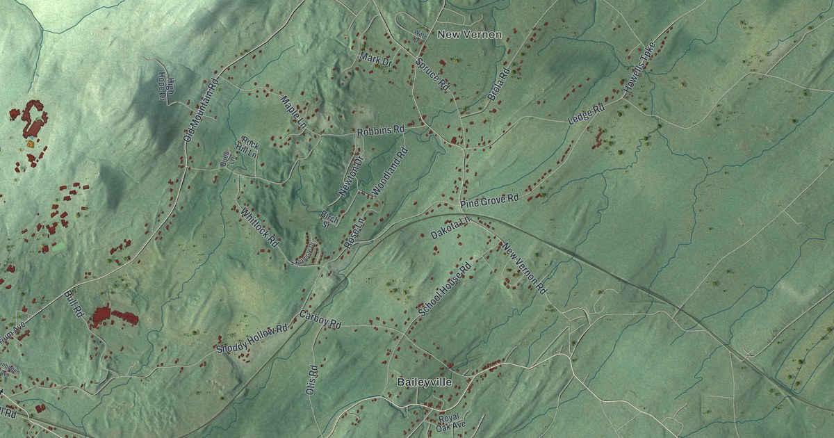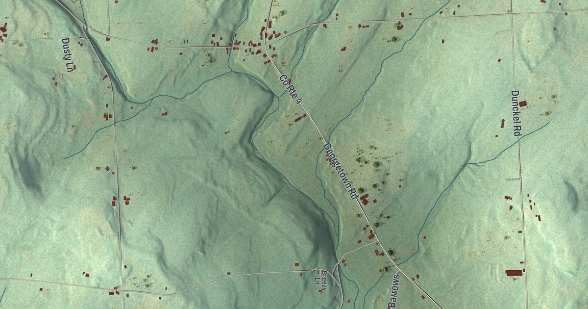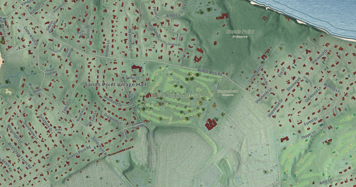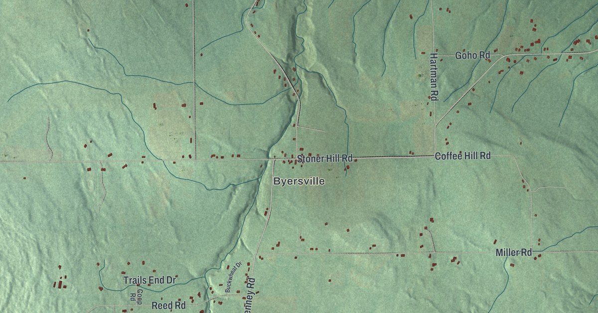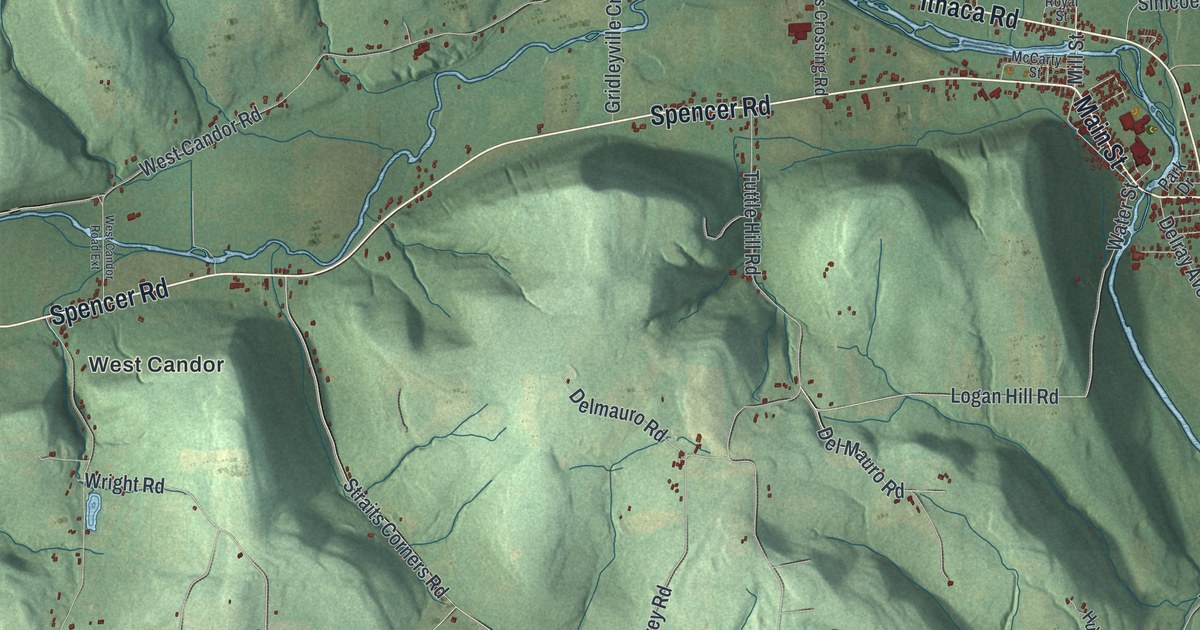
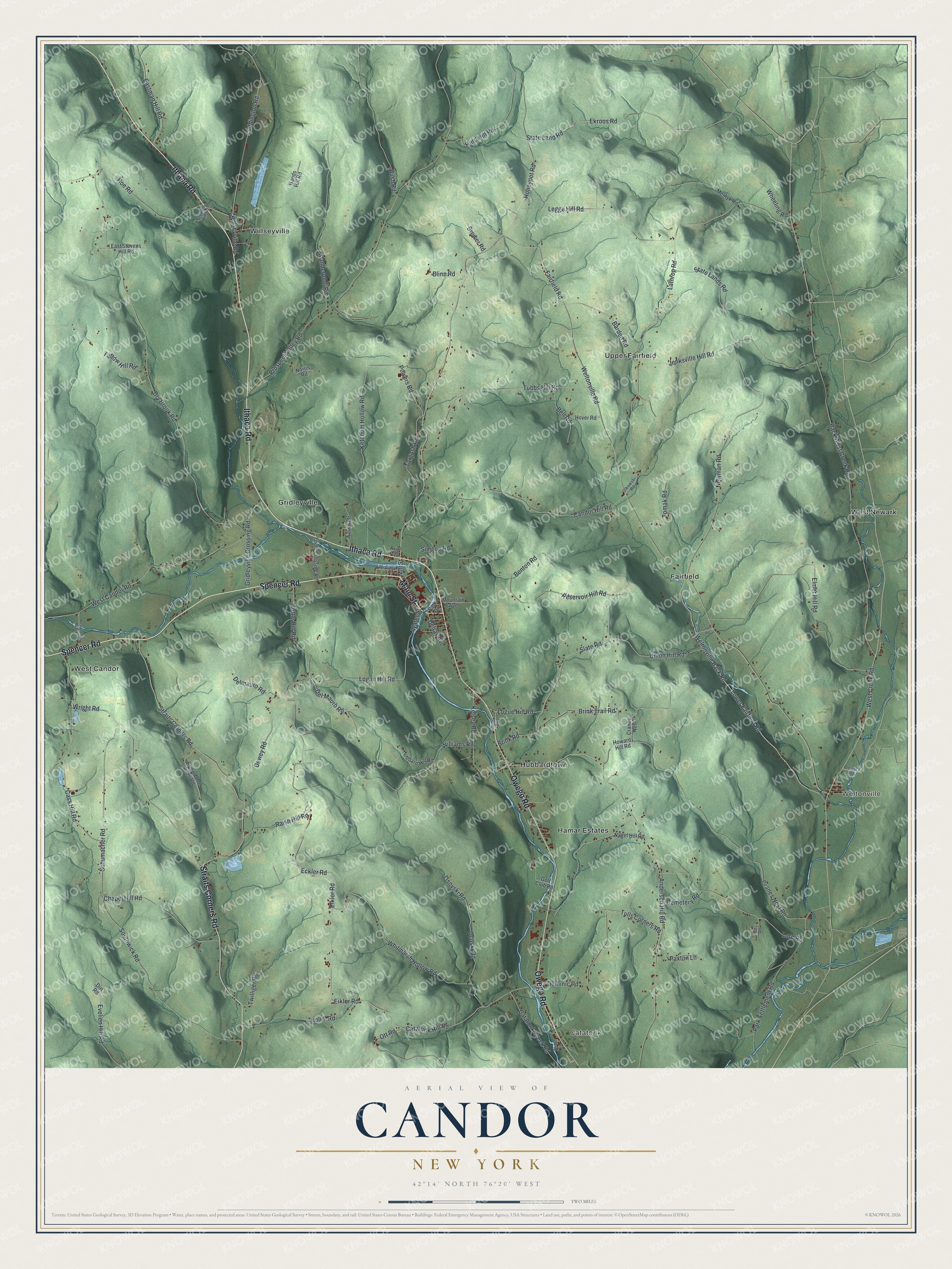
This beautifully detailed map of Candor, New York was created in 2026 using aerial imagery combined with modern topographical, census, street and landmark data. It’s a one-of-a-kind view of Candor that combines accurate data with a vintage aesthetic. The map shows every building in its true location, many of the roads carry their names, and the shaded topographic relief shows the shape of the land.
Explore an aerial view of Candor, New York
On the map you’ll find Catatonk, Weltonville, Fairfield, Gridleyville, and Hubbardtown, along with Spencer Road, Main Street, Ithaca Road, Owego Road, Straits Corners Road, and more. If you look closely you can even find your house accurately drawn in its correct location. Zoom in on the preview to look for yours.
Did You Know?
In 1958 Vidich and Bensman published Small Town in Mass Society. The book studied Candor under the made-up name Springdale. It stirred controversy over how it portrayed the town’s politics. It was also faulted for not hiding residents’ identities well enough.
Take a closer look at the Candor map
Names on this map
These names are printed on this map.
Places: Catatonk, Weltonville, Fairfield, Gridleyville, Hamar Estates, Hubbardtown, Upper Fairfield, West Candor, West Newark and Willseyville.
Streets and roads: Spencer Road, Main Street, Ithaca Road, Owego Road, Straits Corners Road, Mill Street, Catatonk Hill Road, Slate Road, Wright Road, Brink Trail Road, Lower Fairfield Road, Weltonville Back Road.
More street names, A to Z
Anderson Hill Road, Back West Creek Road, Barden Road, Bell Road, Benton Road, Blewer Road, Blinn Road, Brewer Road, Briggs and Allen Road, Brink Road, Bush Road, Candor Hill Road, Cass Hill Road, Catatonk Creek Road, Cemetery Road, Chapel Hill Road, Coddington Road, Cranes Nest, Cranes Nest Road, Cronk Road, Del Mauro Road, Delmauro Road, Delray Avenue, Dewey Road, Dirt Road, Dominic Road, Dry Brook Road, Eastman Hill Road, East Stevens Hill Road, Eckler Road, Eiklor Road, Ekroos Road, Elklor Road, Elmer Hill Road, Evelien Hill Road, Fairfield Road, Fawn Drive, Foots Crossing Road, Galpin Road, Golf Club Road, Gridleyville Crossing Road, Hands Hill Road, Honeypot Road, Hover Road, Howard Hill Road, Hubbard Hill Road, Hurd Hill Road, Jenksville Hill Road, Kelsey Road, Ketchum Hollow Road, Lathrop Road, Legge Hill Road, Logan Hill Road, Logue Hill Road, Lord Road, McCarty Street, Melnyk Road, Mountain Avenue, Nagel Hill Road, Newman Road, Norris Road, Ocoski Road, Olkowski Road, Osovski Road, Ott Road, Park Drive, Park Settlement Road, Paxton Lane, Potts Road, Powers Road, Prospect Valley Road, Raish Hill Road, Reservoir Hill Road, Roe Road, Royal Street, Schumacher Road, Simcoe Road, Southwick Road, State Land Road, State Lands Road, Stevens Hill Road, Storm Lane, Tallow Hill Road, Targosh Road, Tholen Road, Tomak Road, Tubbs Hill Road, Tulls Corners Road, Tuttle Hill Road, Twilliger Road, Union Hill Road, Vanderpool Road, Water Street, Weltonville Road, West Candor Road, West Candor Road Extension, West Creek Road, Wheeling Road, Whitmarsh Hollow Road, Williams Road, Willseyville Road.
See it on a wall
The Candor map as a framed print. Swipe for more.


This beautifully detailed map of Candor makes an attractive addition to your office, library, or den, and it can even be used to teach children the geography and history of the area. It also makes a great gift for someone who left Candor and still calls it home. When you’re done exploring, click here to get your copy of the Candor map.