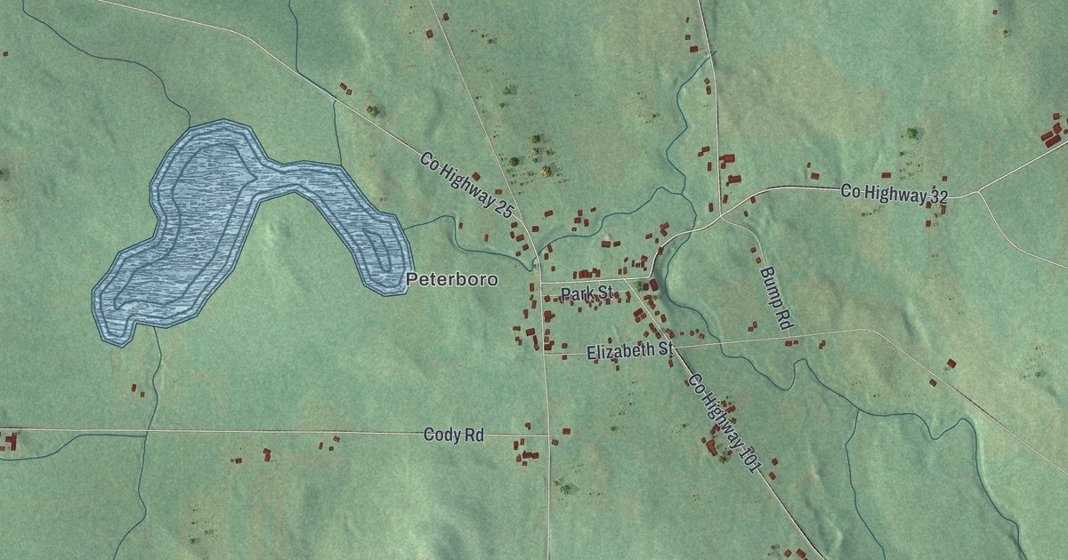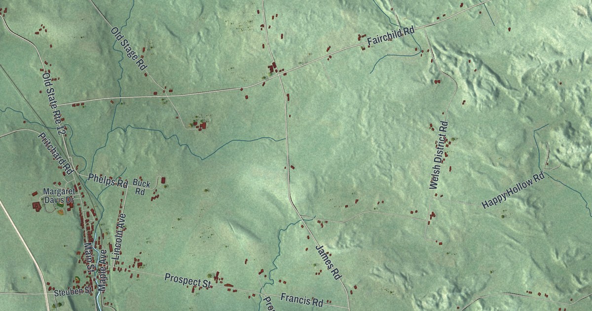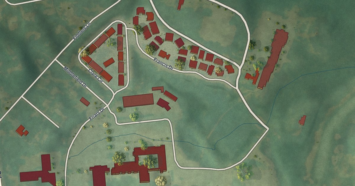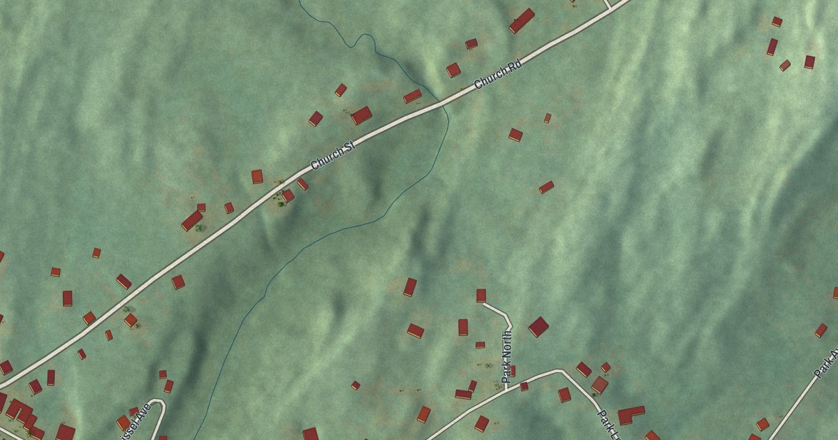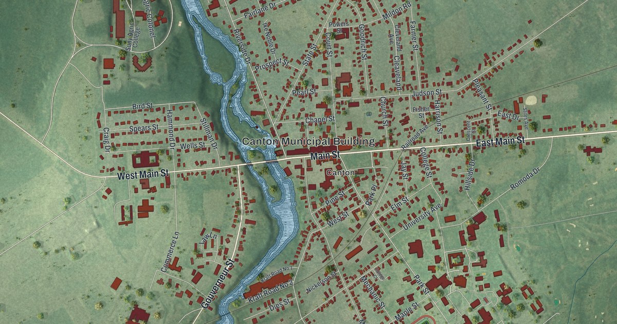
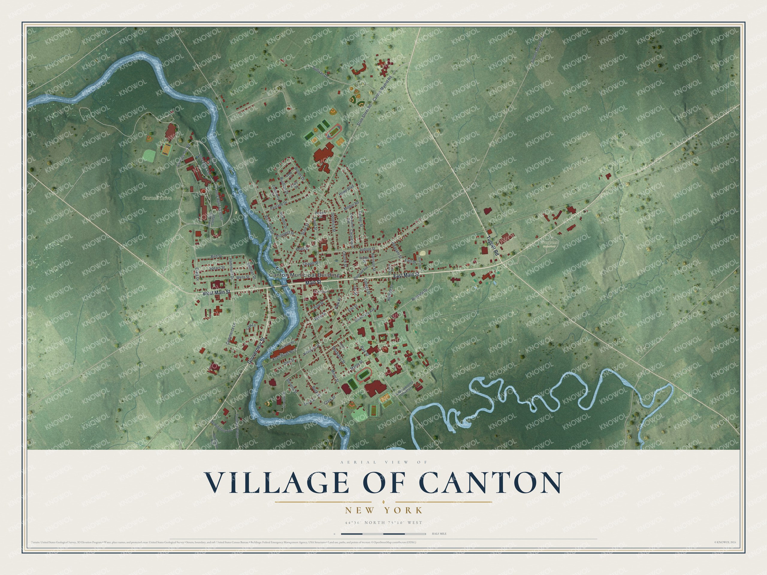
This beautifully detailed map of the Village of Canton, New York was created in 2026 using aerial imagery combined with modern topographical, census, street and landmark data. It’s a one-of-a-kind view of the Village of Canton that combines accurate data with a vintage aesthetic. The map shows every building in its true location, many of the roads carry their names, and the shaded topographic relief shows the shape of the land.
Explore an aerial view of the Village of Canton, New York
On the map you’ll find Canton Municipal Building, Park Place, and Evergreen Cemetery, along with Main Street, Gouverneur Street, Tupper Road, and more. If you look closely you can even find your house accurately drawn in its correct location. Zoom in on the preview to look for yours.
Did You Know?
Canton takes its name from the Chinese city of Canton, known today as Guangzhou. The first permanent settlers arrived in 1801. Their first post office was called New Cairo. By 1807 it had switched to the name Canton, which the village kept.
Take a closer look at the Village of Canton map
Names on this map
These names are printed on this map.
Places: Canton Municipal Building, Cornell Drive, Evergreen Cemetery and Canton.
Streets and roads: East Main Street, Main Street, Gouverneur Street, West Main Street, Tupper Road, Park Place, Suny Agric Col, Bird Street, Buck Street, Canton-Madrid Road, State Street Road, Commerce Lane.
More street names, A to Z
Campus Svc Road, Canterbury Lane, Chapel Street, Church Street, Clark Street, Cleaveland, Cleveland Avenue, College Court, College Street, Court Street, Craig Drive, Crary Drive, Crescent Street, Dies Street, East Drive, Elm Street, Fairlane Drive, Farmer Street, Fisher Street, Goodrich Street, Grove Street, Haley Drive, Hammond Drive, Harrington Avenue, Harrison Street, Hillside Drive, Howe Boulevard, Ike Noble Drive, Jay Street, Judson Street, Judson Street Road, Kraft Road No 1, Kraft Road No 2, Law Lane, Lincoln Street, Maple Street, Mechanic Street, Mildon Road, Miner Street, Nickerson Street, Park Street, Pearl Street, Pine Street, Pleasant Street, Powers Street, Prospect Street, Railroad Avenue, Remington Avenue, Riverside Drive, Romoda Drive, Rushton Drive, Saint Lawrence University, Spears Street, State Street, Stevens Street, Stiles Avenue, Stillman Drive, Sullivan Drive, Suny Agric College, Suny Agric Colonel, Tullman Avene, University Avenue, Wells Street, West Street, Woods Drive.
See it on a wall
The Canton map as a framed print. Swipe for more.


This beautifully detailed map of the Village of Canton makes an attractive addition to your office, library, or den, and it can even be used to teach children the geography and history of the area. It also makes a great gift for anyone who grew up in the Village of Canton or moved away. When you’re done exploring, click here to get your copy of the Village of Canton map.