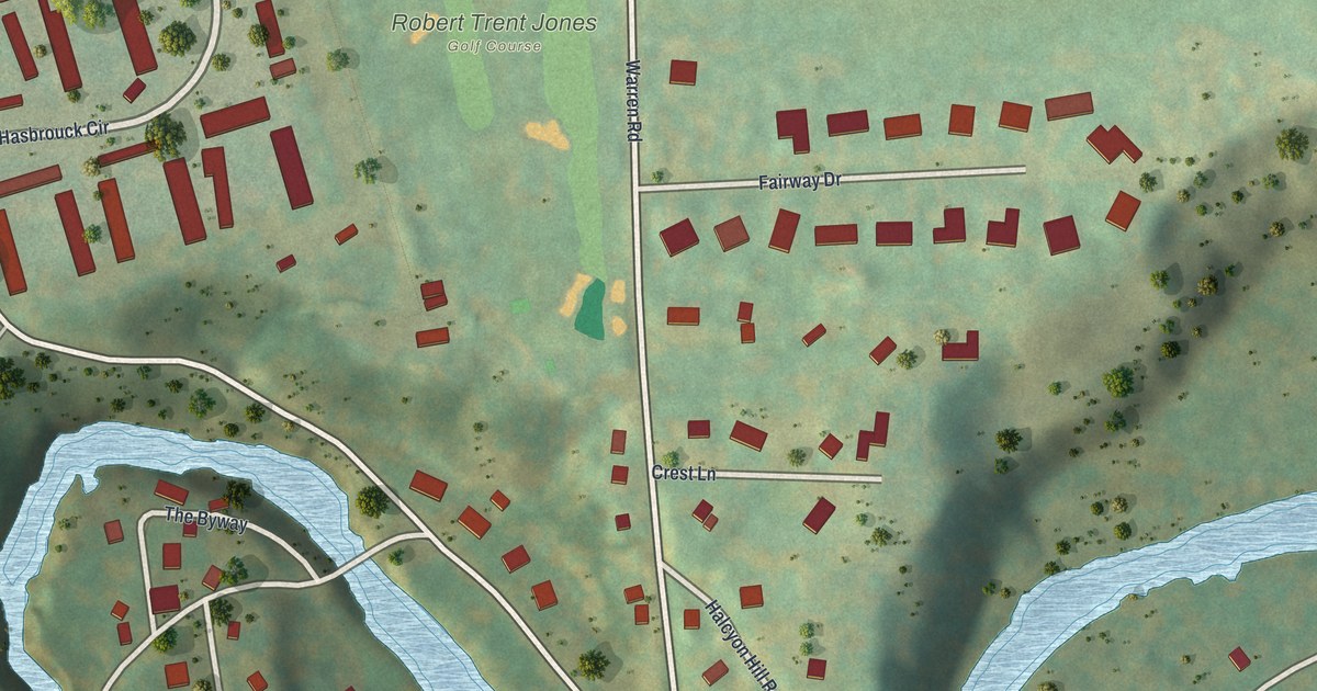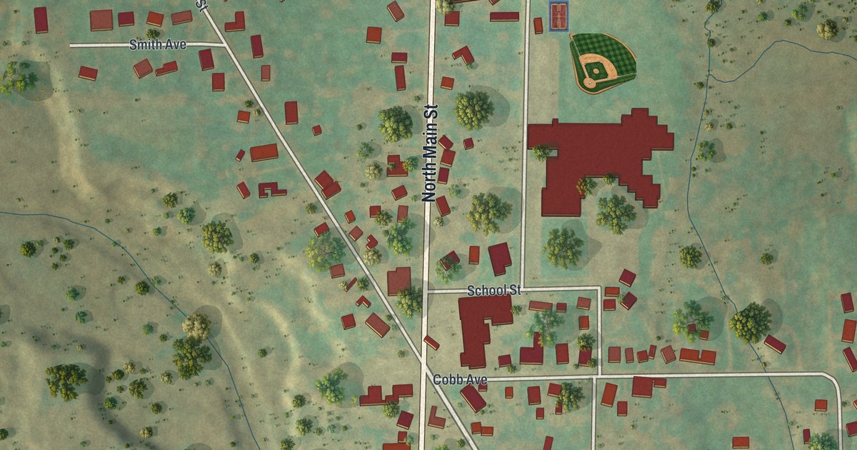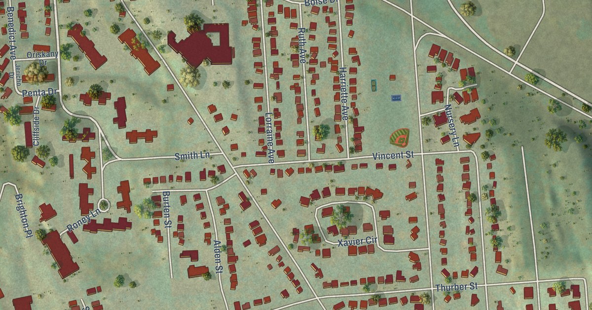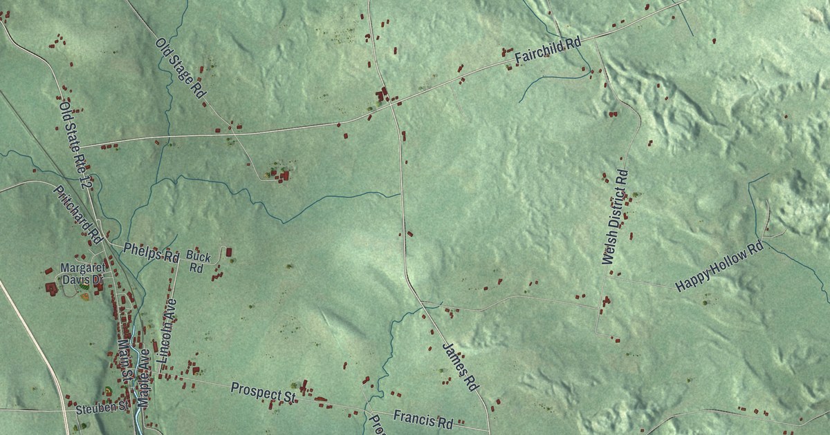
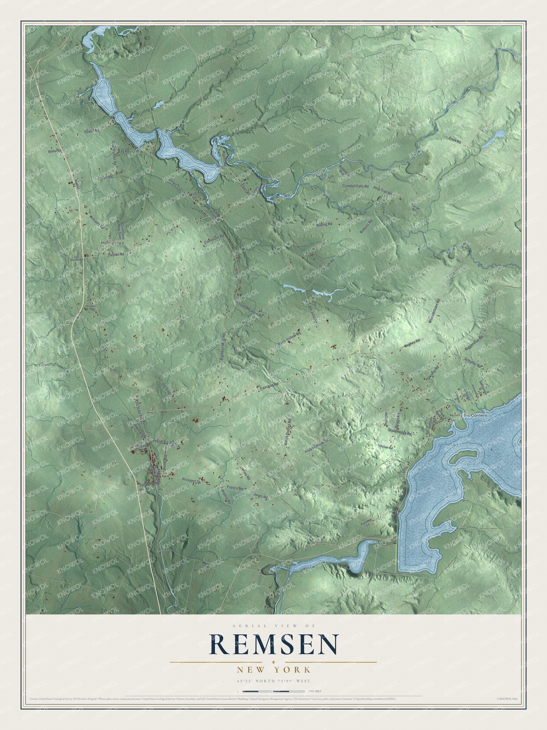
This beautifully detailed map of Remsen, New York was created in 2026 using aerial imagery combined with modern topographical, census, street and landmark data. It’s a one-of-a-kind view of Remsen that combines accurate data with a vintage aesthetic. The map shows every building in its true location, many of the roads carry their names, and the shaded topographic relief shows the shape of the land.
Explore an aerial view of Remsen, New York
On the map you’ll find Ninety Six Corners and Honnedaga, along with Dayton Road, Brown Tract Road, Fairchild Road, James Road, Phelps Road, and more. If you look closely you can even find your house accurately drawn in its correct location. Zoom in on the preview to look for yours.
Did You Know?
Remsen is named for Henry Remsen II, a New York City merchant who owned the land as part of the Remsenburgh patent. Barnabas Mitchell of Meriden, Connecticut, began clearing a farm here around 1792. In September 1795, five families from Wales arrived. They began a strong Welsh community in the area.
Take a closer look at the Remsen map
Names on this map
These names are printed on this map.
Places: Ninety Six Corners and Honnedaga.
Streets and roads: Dayton Road, Brown Tract Road, Fairchild Road, James Road, Phelps Road, Old State Route 12, Prospect Road, Bardwell Mills Road, Lincoln Avenue, Lake Julia Road, Enos Road, Maple Avenue.
More street names, A to Z
Baker Brook Road, Bay Road, Beaver Meadow Road, Bethel Road, Black Hollow Road, Bobbettes Boulevard, Briggs Road, Brown Tract Circle, Buck Road, Commons Road, Cookingham Road, Countryman Road, Countryman Road South, Crandall Falls Road, Dustin Road, East Steuben Road, Ebert Road, Fairview Lane, Francis Road, Griffith Road, Happy Hollow Road, Hughes Road, Hurlbut Road, Jeep Trail Road, Jones Road, Joslyn Road, Kanoaloka Street, Main Street, Margaret Davis Drive, Muthig Road, Old Stage Road, Old State Route 287, Onodago Street, Palamara, Peters Point Road, Pritchard Road, Prospect Street, Riggerman Road, Roberts Road, Sadaqueda Street, Sauquoit Street, Schaffer Road, Steuben Street, Stonehedge, Stonehedge Road, Swamp Road, Thomas Road, Tily, Twin Rock Road, Varian Road, Weber Road, Welsh District Road, Wheelertown Road, Williams Road, Woods Road.
See it on a wall
The Remsen map as a framed print. Swipe for more.


This beautifully detailed map of Remsen makes an attractive addition to your office, library, or den, and it can even be used to teach children the geography and history of the area. It also makes a great gift for someone who left Remsen and still calls it home. When you’re done exploring, click here to get your copy of the Remsen map.