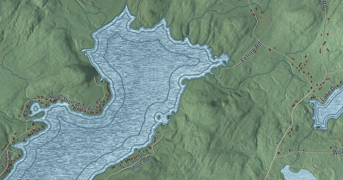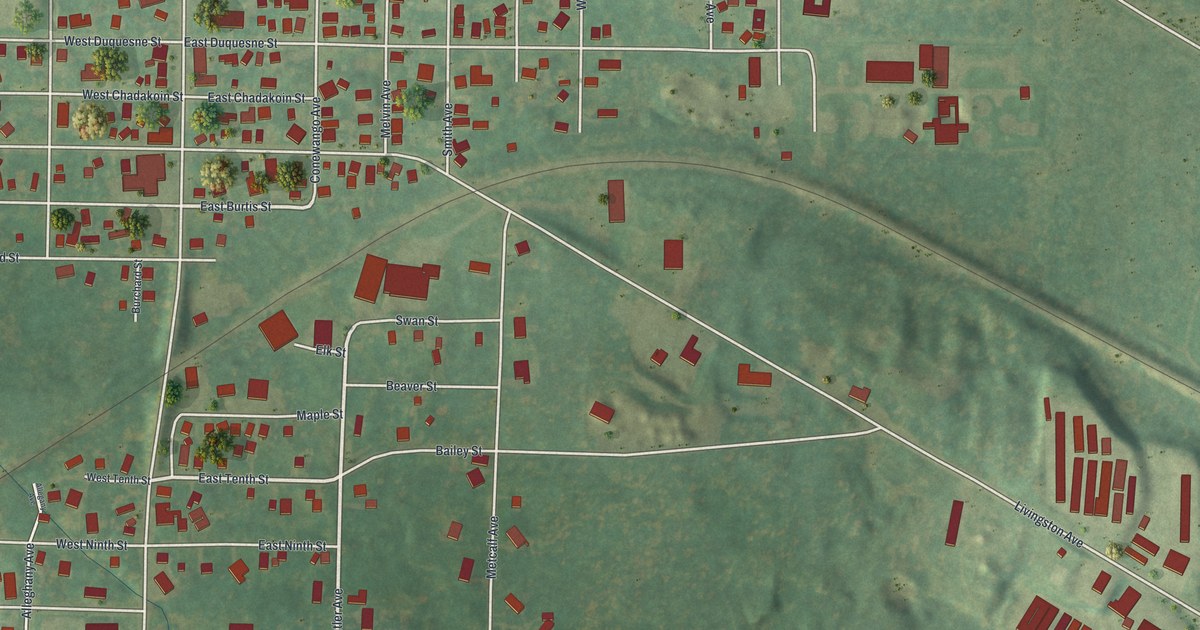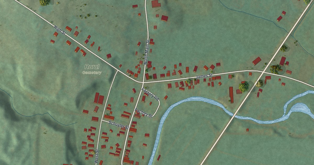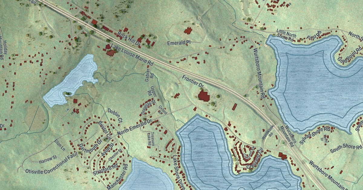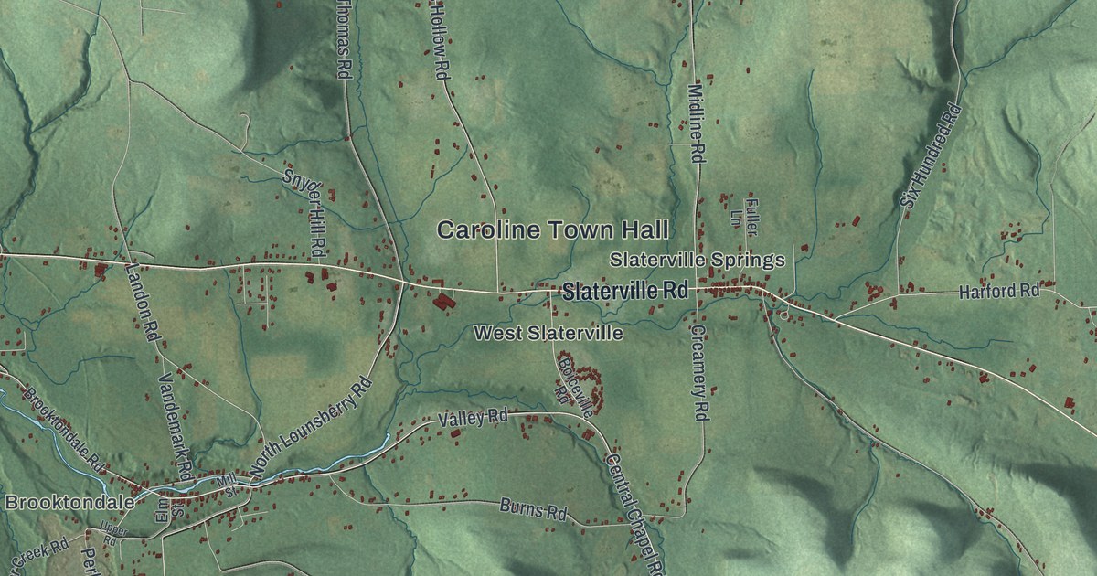
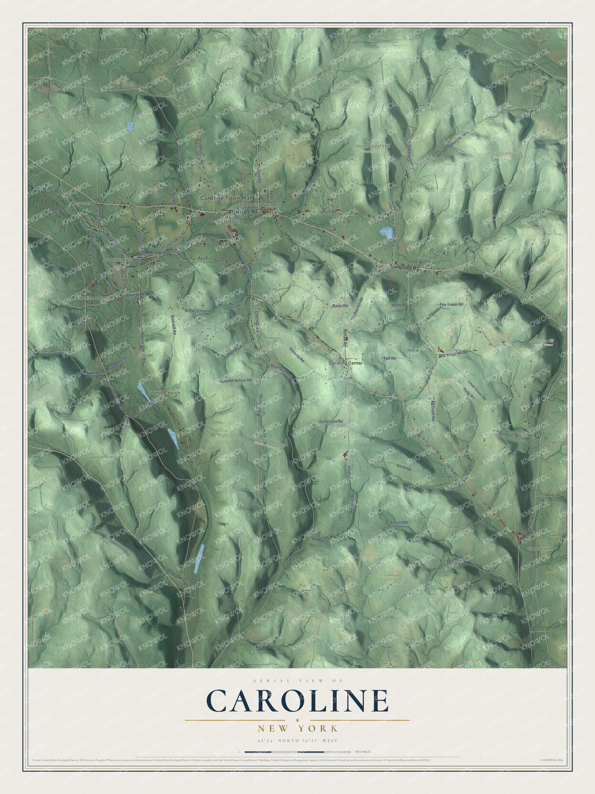
This beautifully detailed map of Caroline, New York was created in 2026 using aerial imagery combined with modern topographical, census, street and landmark data. It’s a one-of-a-kind view of Caroline that combines accurate data with a vintage aesthetic. The map shows every building in its true location, many of the roads carry their names, and the shaded topographic relief shows the shape of the land.
Explore an aerial view of Caroline, New York
On the map you’ll find Caroline Town Hall, Speedsville, Besemer, Caroline Depot, Brooktondale, Caroline Center, Hammond Hill State Forest, Potato Hill State Forest, Robinson Hollow State Forest, and Shindagin Hollow State Forest, along with Slaterville Road, Braley Hill Road, Central Chapel Road, Mill Road, and more. If you look closely you can even find your house accurately drawn in its correct location. Zoom in on the preview to look for yours.
Did You Know?
Austin Blair was born in Caroline in 1818. His father George Blair built the log cabin where he was born. Austin worked the family farm there until age 17. In 1841 he left for Michigan, and he led that state as governor from 1861 to 1865, through the Civil War. He firmly opposed slavery.
Take a closer look at the Caroline map
Names on this map
These names are printed on this map.
Places: Caroline Town Hall, Speedsville, Besemer, Caroline Depot, Brooktondale, Hammond Hill State Forest, Potato Hill State Forest, Robinson Hollow State Forest, Shindagin Hollow State Forest, Caroline Center, Slaterville Springs, West Slaterville and White Church.
Streets and roads: Slaterville Road, Braley Hill Road, Central Chapel Road, Valley Road, Mill Road, Old 76 Road, Shindagin Hollow Road, North Lounsberry Road, Melynk Road, Ekroos Road, Landon Road, Canaan Road.
More street names, A to Z
Bailor Road, Bald Hill Road, Bald Hill School Road, Banks Road, Beaver Creek Road, Belle School Road, Besemer Road, Blackman Hill Road, Boiceville Road, Brooktondale Road, Buffalo Road, Burns Road, Caroline Depot Road, Chestnut Road, Coddington Road, Creamery Road, Deputron Hollow Road, Downey Road, Eastman Hill Road, Ellis Hollow Road, Elm Street, Fire Tower Road, Flat Iron Road, Fuller Lane, Goodrich Hill Road, Grove School Road, Gulf Creek Road, Hammond Hill Road, Harford Road, Harford Slaterville Road, Hurd Hill Road, Hyde Road, Lackawanna Road, Leonard Road, Level Green Road, McGrath Road, Middaugh Road, Midline Road, Mill Street, Olsefski Road, Perkins Road, Ridgeway Road, Six Hundred Road, Smith Road, Snyder Hill Road, South Road, Speed Hill Road, Taft Road, Thomas Road, Upper Road, Vandemark Road, Webb Road, Weston Road, White Church Road, Yaple Road.
See it on a wall
The Caroline map as a framed print. Swipe for more.


This beautifully detailed map of Caroline makes an attractive addition to your office, library, or den, and it can even be used to teach children the geography and history of the area. It also makes a great gift for anyone who grew up in Caroline or moved away. When you’re done exploring, click here to get your copy of the Caroline map.