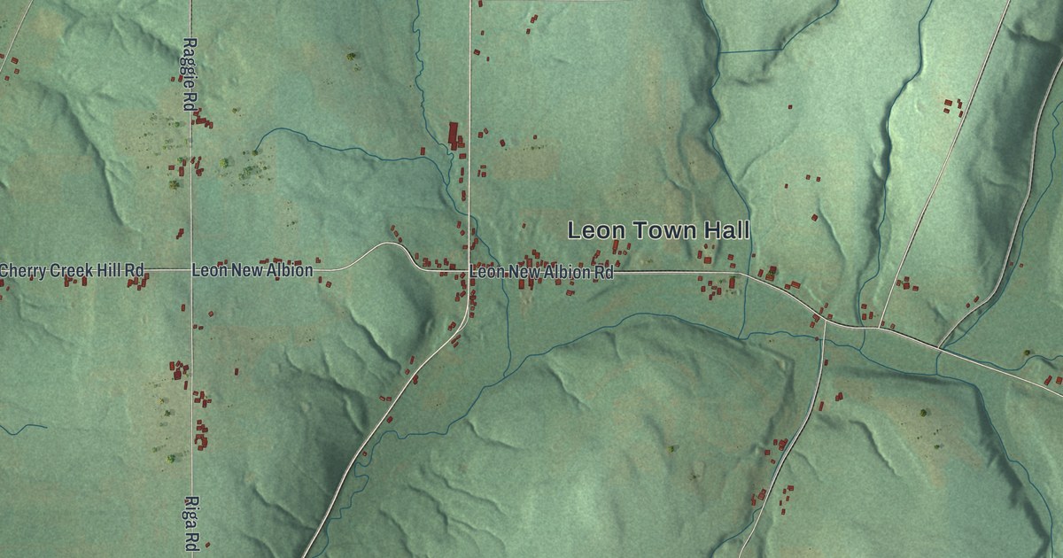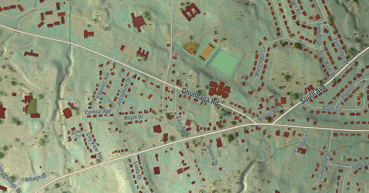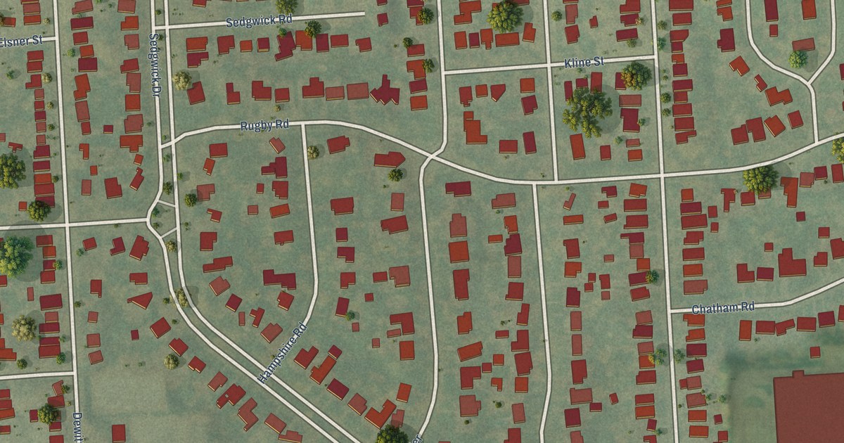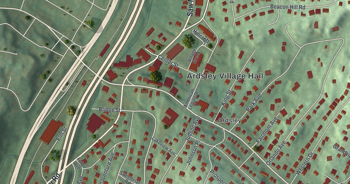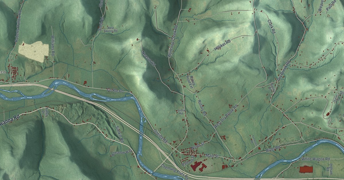
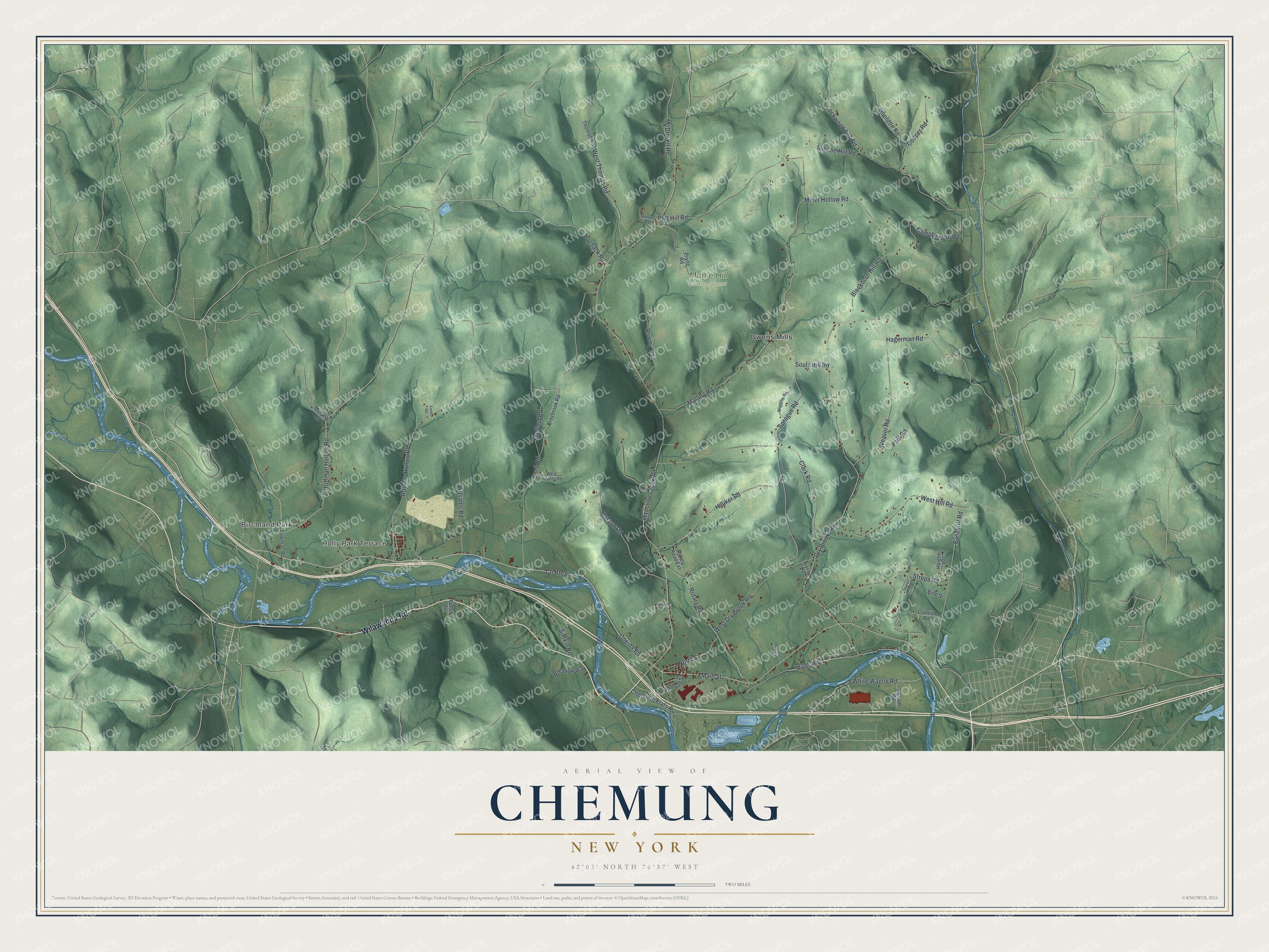
This beautifully detailed map of Chemung, New York was created in 2026 using aerial imagery combined with modern topographical, census, street and landmark data. It’s a one-of-a-kind view of Chemung that combines accurate data with a vintage aesthetic. The map shows every building in its true location, many of the roads carry their names, and the shaded topographic relief shows the shape of the land.
Explore an aerial view of Chemung, New York
On the map you’ll find Birchland Park, Owens Mills, and Maple Hill State Forest, along with Wilawanna Road, Oneida Road, Dry Brook Road, Banzhoff Road, Main Street, Holly Park Terrace, and more. If you look closely you can even find your house accurately drawn in its correct location. Zoom in on the preview to look for yours.
Did You Know?
Chemung takes its name from the Chemung River, a Seneca word meaning big horn. The Sullivan Expedition destroyed the area in August 1779 and fought the Battle of Newtown just west of today’s town. The first clear record of settlers dates to about 1786. In 1788, Chemung became the first town organized in the region.
Take a closer look at the Chemung map
Names on this map
These names are printed on this map.
Places: Birchland Park, Holly Park Terrace, Maple Hill State Forest and Owens Mills.
Streets and roads: Wilawanna Road, County Route 60, Oneida Road, Dry Brook Road, Banzhoff Road, Main Street, Hagerman Road, White Wagon Road, Shelford Road, Wyncoop Creek Road, Clark Road, Mallory Road.
More street names, A to Z
Blackburn Hill Road, Braybrook Road, Campbell Hill Road, Chemung Flats Road, Cooper Road, Cornish Road, Dinniny Road, Doolittle Road, Finoh Road, Fuller Drive, Groves Road, Haight Drive, Hilliker Road, Hoffman Hollow Road, Hogback Road, Ingham Road, Joslin Road, Lockwood Run Road, Lowman Road, McDowell Road, Miller Hollow Road, Murphy Road, Neason Road, North Street, Paul Road, Pine Street, Pryne Road, Putt Hill Road, Railroad Street, River Road, Roberts Hollow Road, Rotary Road, Rotary Road Extension, Rowley Road, Simcoe Hill Road, Simkin Road, Skyline Drive, Snell Road, Souls Hill Road, Sprague Road, Strops Road, Thomas Road, Tomasso's Road, Weaver Road, West Dry Brook Road, West Hill Road, West Squires Road, West Thomas Road, Wheadow Way, Wiggins Road, Williams Road.
See it on a wall
The Chemung map as a framed print. Swipe for more.


This beautifully detailed map of Chemung makes an attractive addition to your office, library, or den, and it can even be used to teach children the geography and history of the area. It also makes a great gift for someone who left Chemung and still calls it home. When you’re done exploring, click here to get your copy of the Chemung map.