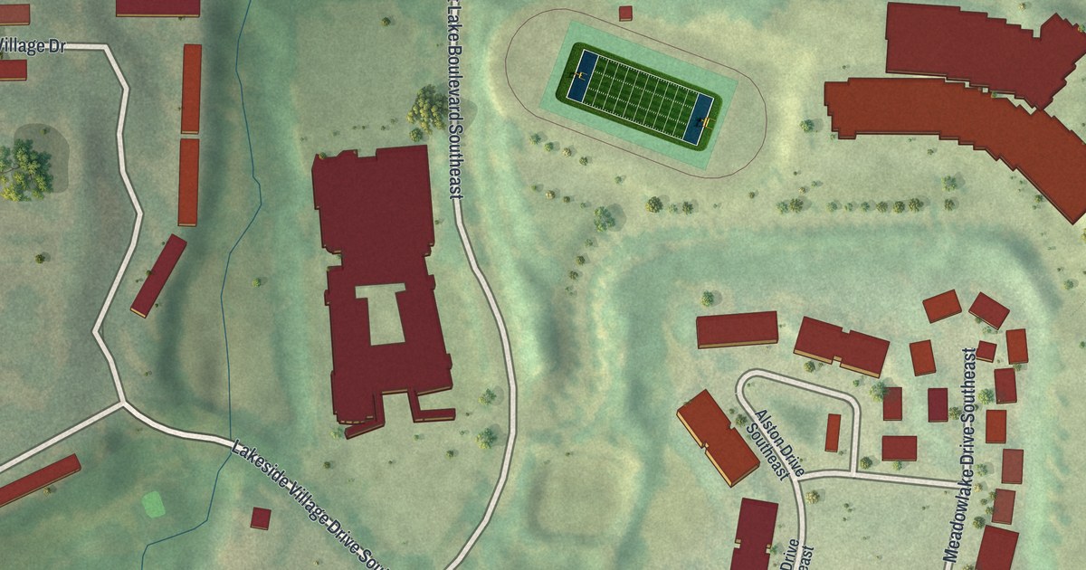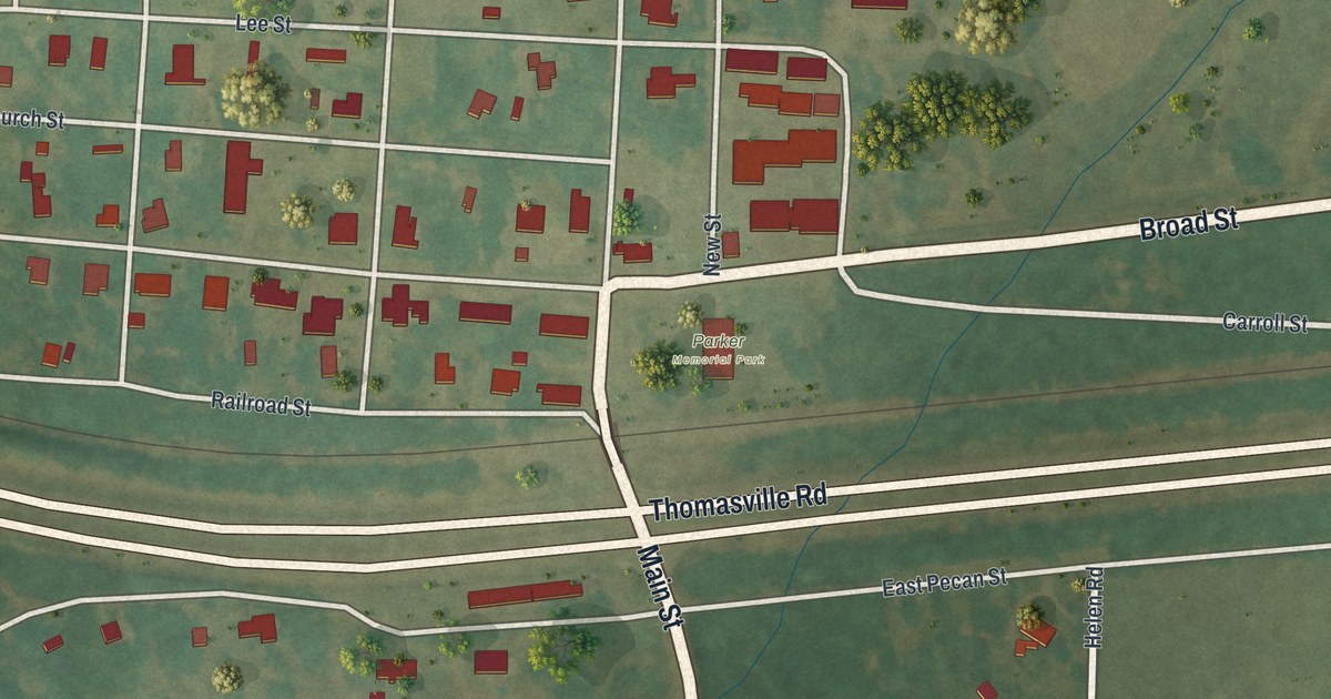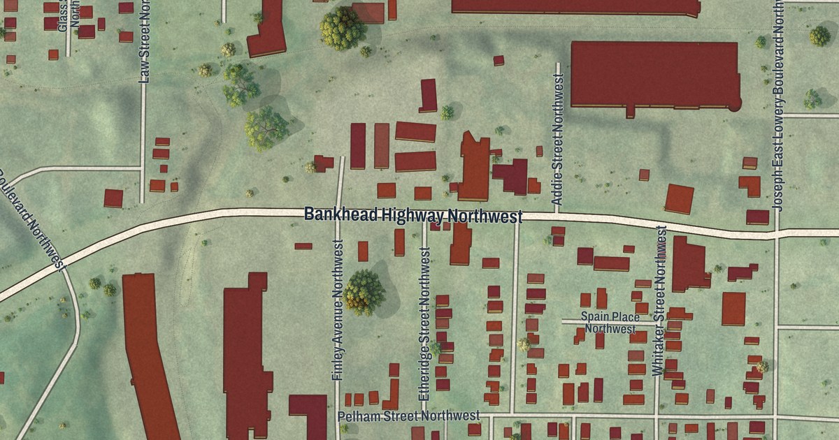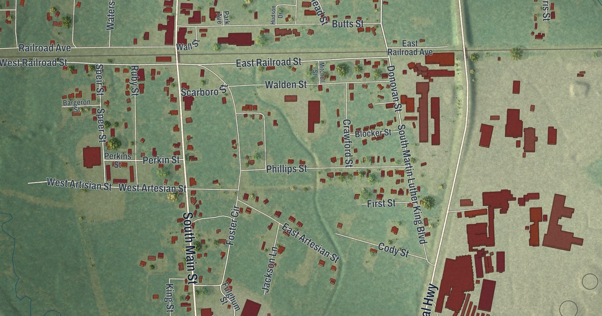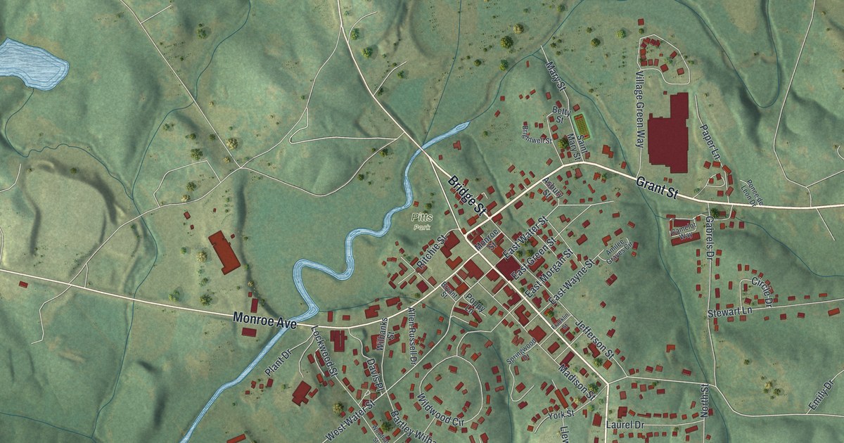
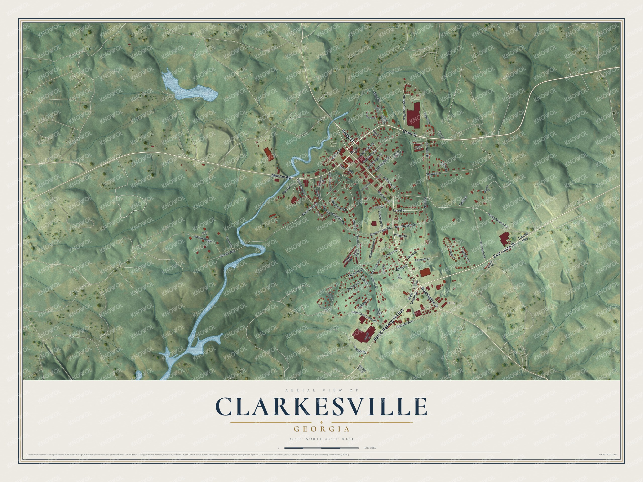
This beautifully detailed map of Clarkesville, Georgia was created in 2026 using aerial imagery combined with modern topographical, census, street and landmark data. It’s a one-of-a-kind view of Clarkesville that combines accurate data with a vintage aesthetic. The map shows every building in its true location, many of the roads carry their names, and the shaded topographic relief shows the shape of the land.
Explore an aerial view of Clarkesville, Georgia
On the map you’ll find Hills and Pitts Park, along with Grant Street, Washington Street, Bridge Street, Louise Street, Monroe Avenue, and more. If you look closely you can even find your house accurately drawn in its correct location. Zoom in on the preview to look for yours.
Did You Know?
Clarkesville was founded in 1821 and named for John Clark, then governor of Georgia. It grew up along the Unicoi Turnpike, a Native American trail about 1,000 years old. In the early 1700s, traders hauled deerskins and furs on that path from Tennessee toward Savannah and Charleston, bound for Europe.
Take a closer look at the Clarkesville map
Names on this map
These names are printed on this map.
Places: Hills and Pitts Park.
Streets and roads: Grant Street, Washington Street, Bridge Street, East Louise Street, Hst US Highway 441 Bus, Monroe Avenue, Rocky Branch Road, West Water Street, East Water Street, Swain Drive, Mary Street, Wildwood Circle.
More street names, A to Z
Allen Drive, Allen Russell Drive, Amilee Graves Circle, Arrendale Street, Asbury Street, Barron Drive, Bartley Wilbanks Road, Betty Street, Brightwell Street, Bryant Street, Camelot Way, Carriage Lane, Circle Drive, Clearview Drive, Davis Place, East Green Street, East Morgan Street, East Wayne Street, Ellison Street, Emily Drive, Franklin Street, Gabrels Drive, Gudger Road, House Street, Jefferson Street, Lacount Lane, Landers Street, Laurel Drive, Leyland Hills, Llewellyn Street, Lockwood Street, Madison Street, Marble Hill Drive, Memorial Drive, Minis Drive, Mockingbird Lane, Monroe Street, Morningside Drive, North Street, Oak Hill Lane, Paper Lane, Plant Drive, Ponce de Leon Drive, Poppy Lane, Railroad Avenue, Richard Street, Ritchie Street, Robertson Loop Road, Russ Circle, Saint Mary Street, Salome Drive, Scovill Drive, Shoals Lane, Shoals Ridge, Shoals Vw, Shoals Way, Spring Street, Springwood Drive, Stanford Mill Road, Stapleton Drive, Stewart Lane, Sunset Street, Toccoa Highway, View Street, Village Drive, Village Green Way, Water Tower Place, West Louise Street, White Oak Court, Wilbanks Street, Woodvale Street, Yonah Drive, York Street.
See it on a wall
The Clarkesville map as a framed print. Swipe for more.


This beautifully detailed map of Clarkesville makes an attractive addition to your office, library, or den, and it can even be used to teach children the geography and history of the area. It also makes a great gift for anyone who grew up in Clarkesville or moved away. When you’re done exploring, click here to get your copy of the Clarkesville map.