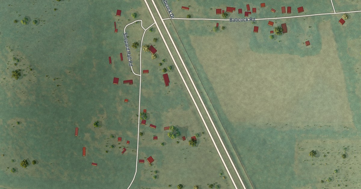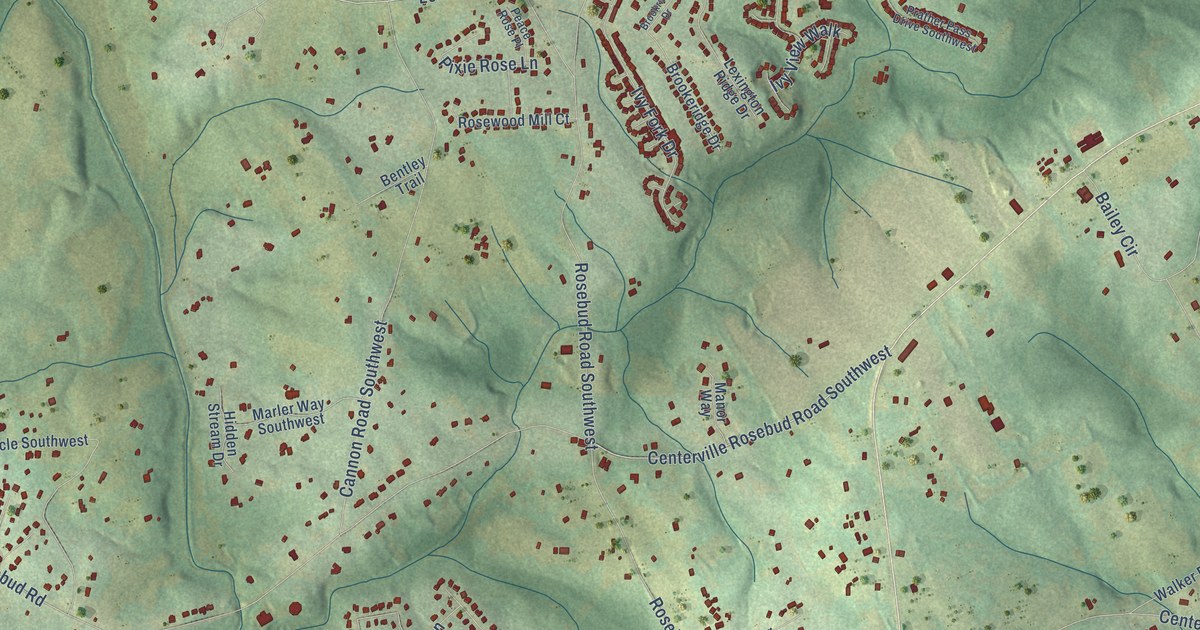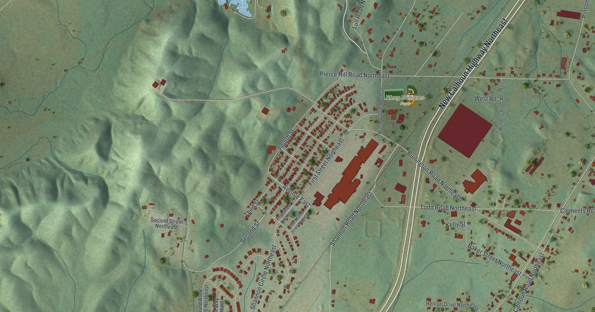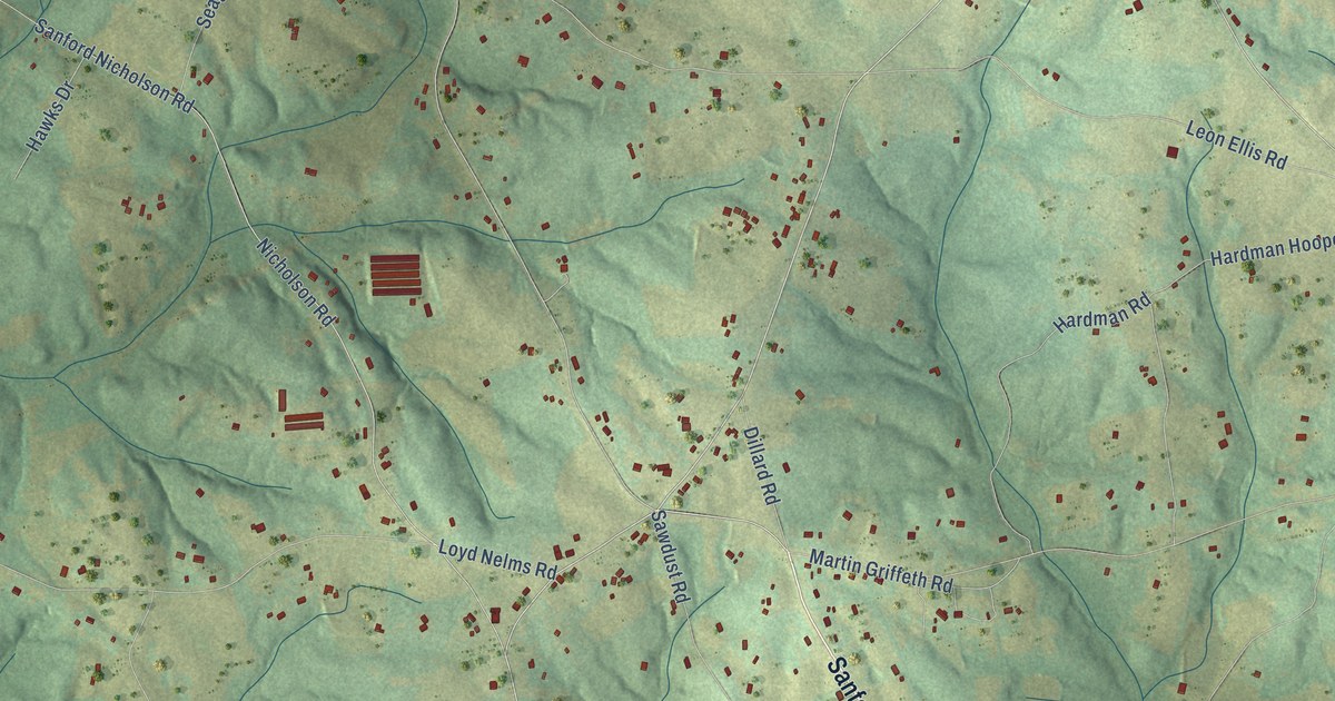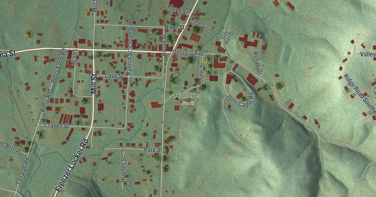
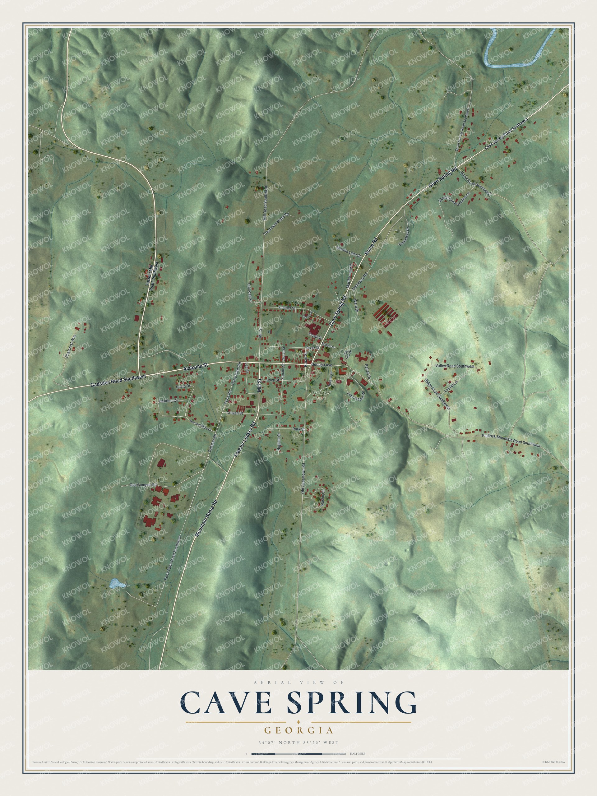
This beautifully detailed map of Cave Spring, Georgia was created in 2026 using aerial imagery combined with modern topographical, census, street and landmark data. It’s a one-of-a-kind view of Cave Spring that combines accurate data with a vintage aesthetic. The map shows every building in its true location, many of the roads carry their names, and the shaded topographic relief shows the shape of the land.
Explore an aerial view of Cave Spring, Georgia
On the map you’ll find Rolater Park, along with Alabama Street, Cave Spring Road, Mountain Home Road, Freezer Locker Road, Mill Street, and more. If you look closely you can even find your house accurately drawn in its correct location. Zoom in on the preview to look for yours.
Did You Know?
Baptist settlers founded Cave Spring in 1832. The town is named for a clear spring that flows out of a limestone cave. That spring is still the main drinking water source for the town and its neighbors. Its water has won awards for purity and taste.
Take a closer look at the Cave Spring map
Names on this map
These names are printed on this map.
Places: Rolater Park.
Streets and roads: Alabama Street, Cave Spring Road, Mountain Home Road, Freezer Locker Road, Mill Street, Rome Road, Gadsden Road Southwest, Padlock Mountain Road Southwest, Old Cedartown Road, Georgia Avenue, Perry Road, Tallalan Road.
More street names, A to Z
Broad Street, Cave Spring Road Southwest, Cemetery Drive, Cemetery Road, Chalcrest Way, Church Street, City Hall Drive, Craven Street, David Drive, Davis Road Southwest, Elaine Drive Southwest, Fannin Street, Fincher Street, Floyd Street, Fosters Mill Road Southwest, Gsd Campus Road, Heather Circle, Herchel Mize Drive, Hughes Street, John Caple Road, Laurel Lane, Lee Street, Love Street, Martha Lane II, Martha Lane III, Mason Circle, Mill Road Southwest, Park Street, Perry Farm Road, Perry Farm Road Southwest, Railroad Street, Rehab Drive, Ridge Road Southwest, River Street, Rolater Drive, School Lane, Spout Springs Road Southwest, Stewart Circle, Treatment Plant Road, Valley Road Southwest, Ware Drive.
See it on a wall
The Cave Spring map as a framed print. Swipe for more.


This beautifully detailed map of Cave Spring makes an attractive addition to your office, library, or den, and it can even be used to teach children the geography and history of the area. It also makes a great gift for someone who left Cave Spring and still calls it home. When you’re done exploring, click here to get your copy of the Cave Spring map.