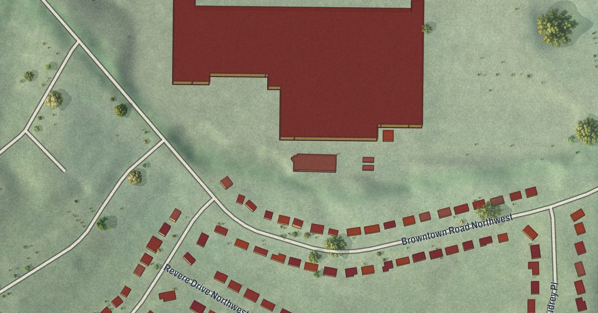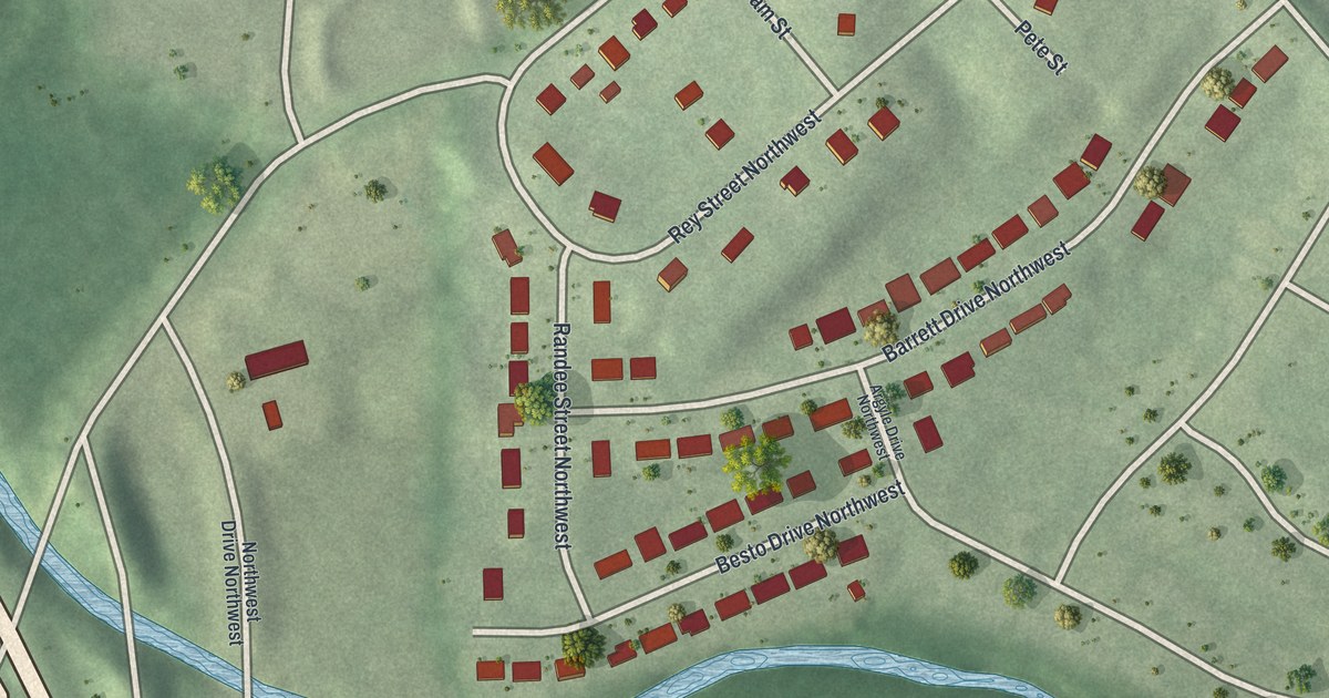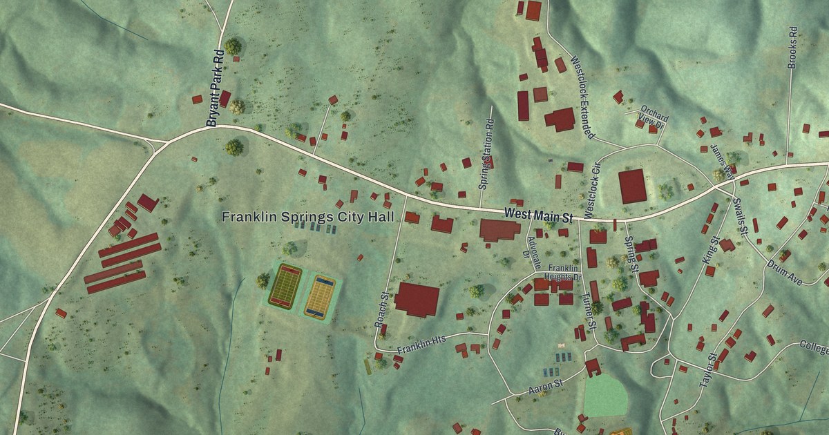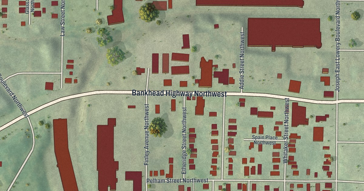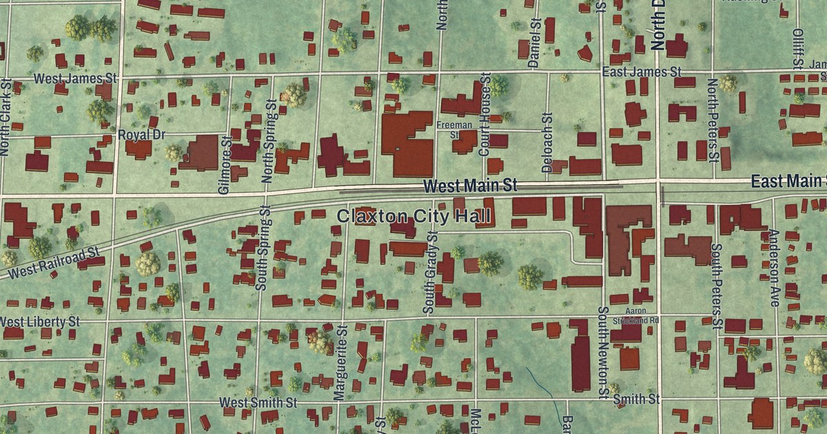
This beautifully detailed map of Claxton, Georgia was created in 2026 using aerial imagery combined with modern topographical, census, street and landmark data. It’s a one-of-a-kind view of Claxton that combines accurate data with a vintage aesthetic. The map shows every building in its true location, many of the roads carry their names, and the shaded topographic relief shows the shape of the land.
Explore an aerial view of Claxton, Georgia
On the map you’ll find Claxton City Hall, along with Main Street, Ralph Street, Duval Street, River Street, and more. If you look closely you can even find your house accurately drawn in its correct location. Zoom in on the preview to look for yours.
Did You Know?
In 1890, W.R. Hendricks wanted a railroad station on land his parents gave him. Railroad officials said no. So he offered to dig a well and install a pump for free, letting trains stop for water. The officials agreed, and building began that June. That deal gave birth to Claxton.
Take a closer look at the Claxton map
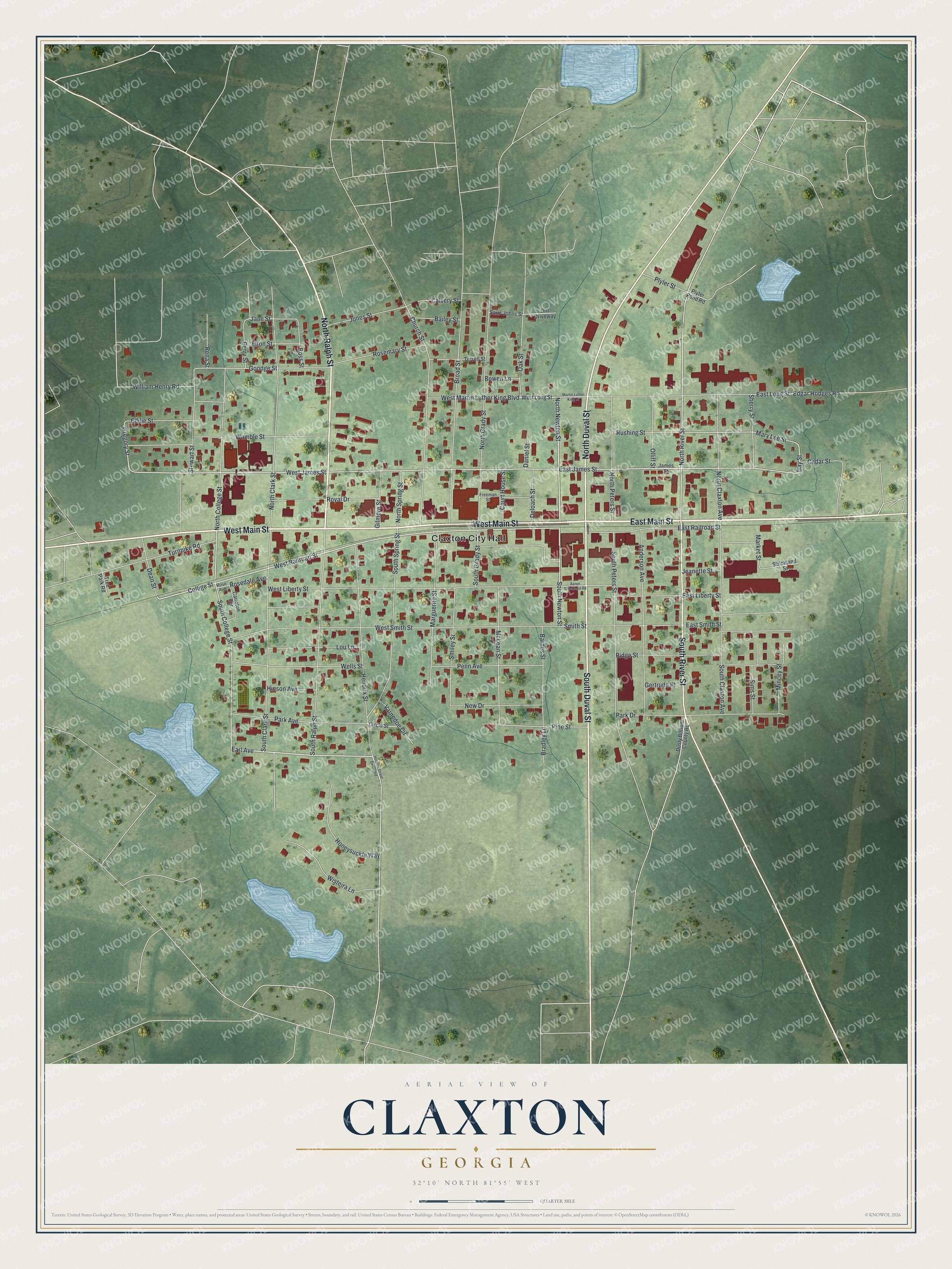
Names on this map
These names are printed on this map.
Places: Claxton City Hall.
Streets and roads: East Main Street, West Main Street, North Ralph Street, South Duval Street, South River Street, North Duval Street, North Newton Street, Earl Avenue, West Railroad Street, South Newton Street, North River Street, Collige Street.
More street names, A to Z
Aaron Strickland Road, Anderson Avenue, Bailey Street, Barnes Street, Bay Street, Boss Street, Bowen Lane, Bradley Lane, Broad Street, Calvery Street, Carleton Terrace, Cedar Street, Church Street, Circle Street, Court House Street, Daniel Street, Dean Street, Deloach Street, Dirt Driveway, Dusty Bottom County Road, East James Street, East Liberty Street, East Long Street, East Railroad Street, East Smith Street, Eddie Street, Edgar Hodges Road, Elton Street, Freeman Street, Gertrude Place, Gilmore Street, Goodge Street, Gregory Street, Hendrix Street, Hendrix Street Extended, Hinson Avenue, Honeysuckle Way, James Street, Jane Street, Jeanette Street, Jones Street, Lou Lane, Marguerite Street, Market Street, Martin Luther King Drive, Mary Lee Street, McLean Street, Mincey Street, New Drive, North Clark Street, North Claxton Avenue, North College Street, North Grady Street, North Peters Street, North Spring Street, Oak Street, Olliff Street, Park Avenue, Park Drive, Penn Avenue, Perry Street, Pine Street, Plyler Pond Road, Plyler Street, Rena Street, Ridge Street, Rose Avenue, Rosedale Avenue, Rosemary Street, Royal Drive, Rushing Street, Saint Johns Street, Sherry Street, Sims Street, Smiley Street, Smith Street, South Clark Street, South Claxton Avenue, South College Street, South Grady Street, South Peters Street, South Ralph Street, South Spring Street, Stewart Street, Strickland Street, Terrell Street, Tree Park Road, Turnpike Road, Varnedoe Circle, Wells Street, West James Street, West Liberty Street, West Long Street, West Martin Luther King Boulevard, West Smith Street, William Henry Road, Wisteira Lane, Womble Street.
See it on a wall
The Claxton map as a framed print. Swipe for more.


This beautifully detailed map of Claxton makes an attractive addition to your office, library, or den, and it can even be used to teach children the geography and history of the area. It also makes a great gift for anyone who grew up in Claxton or moved away. When you’re done exploring, click here to get your copy of the Claxton map.