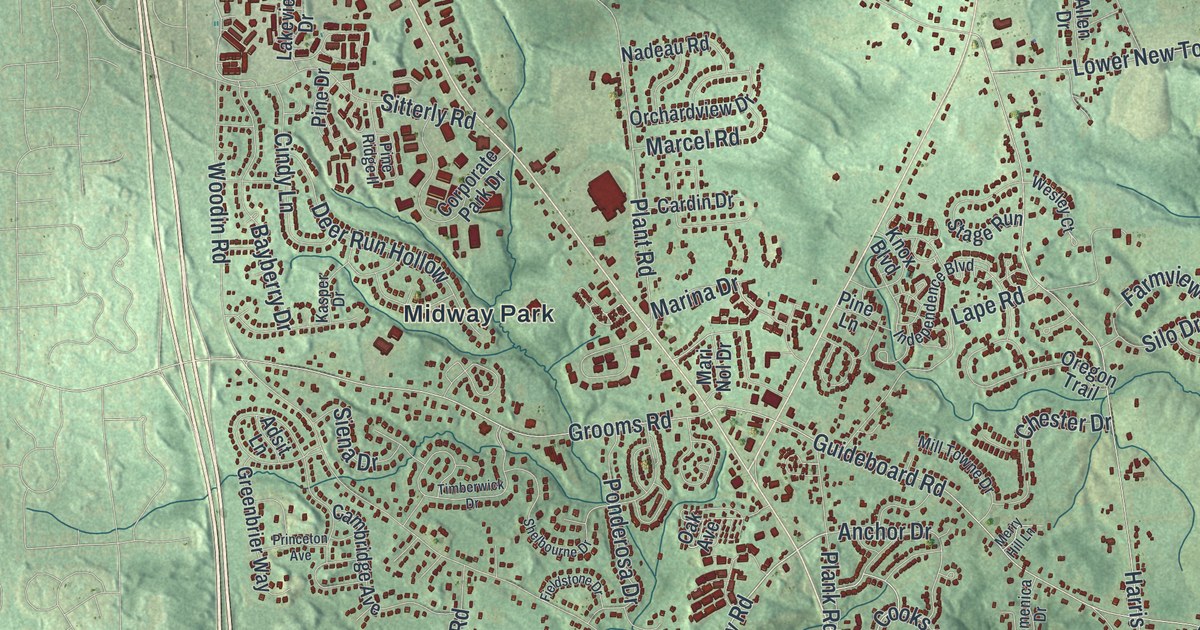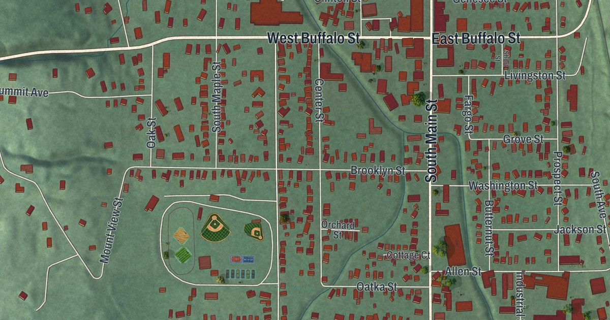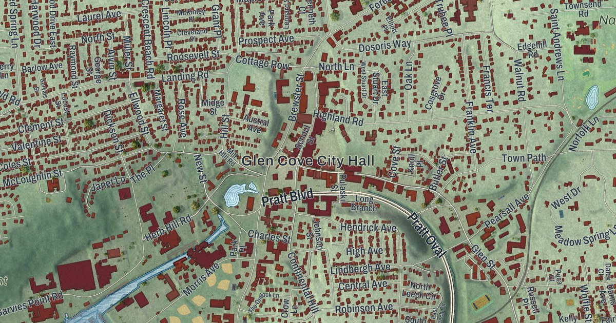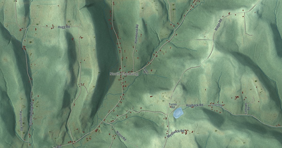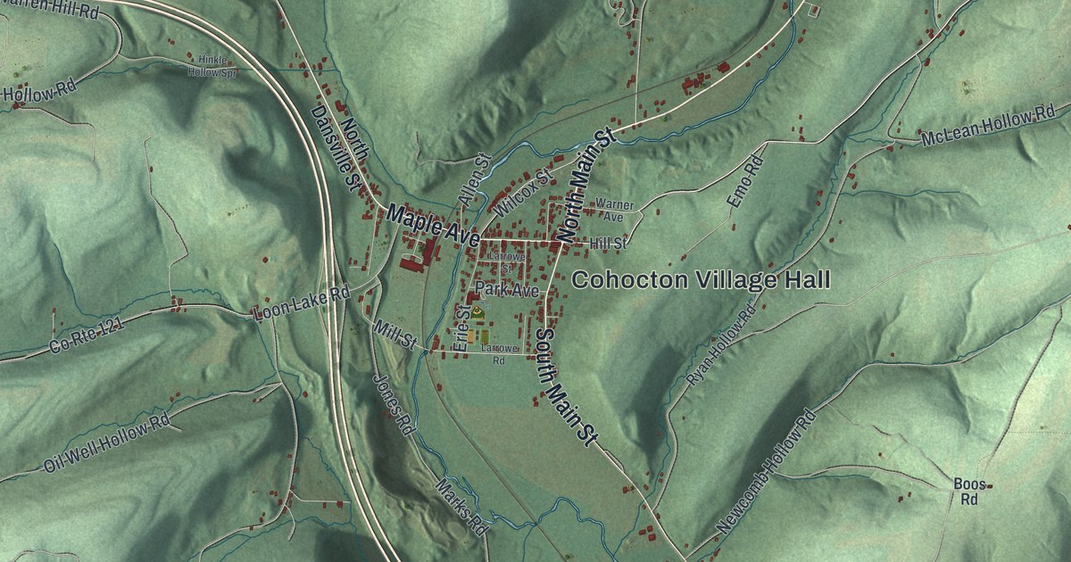
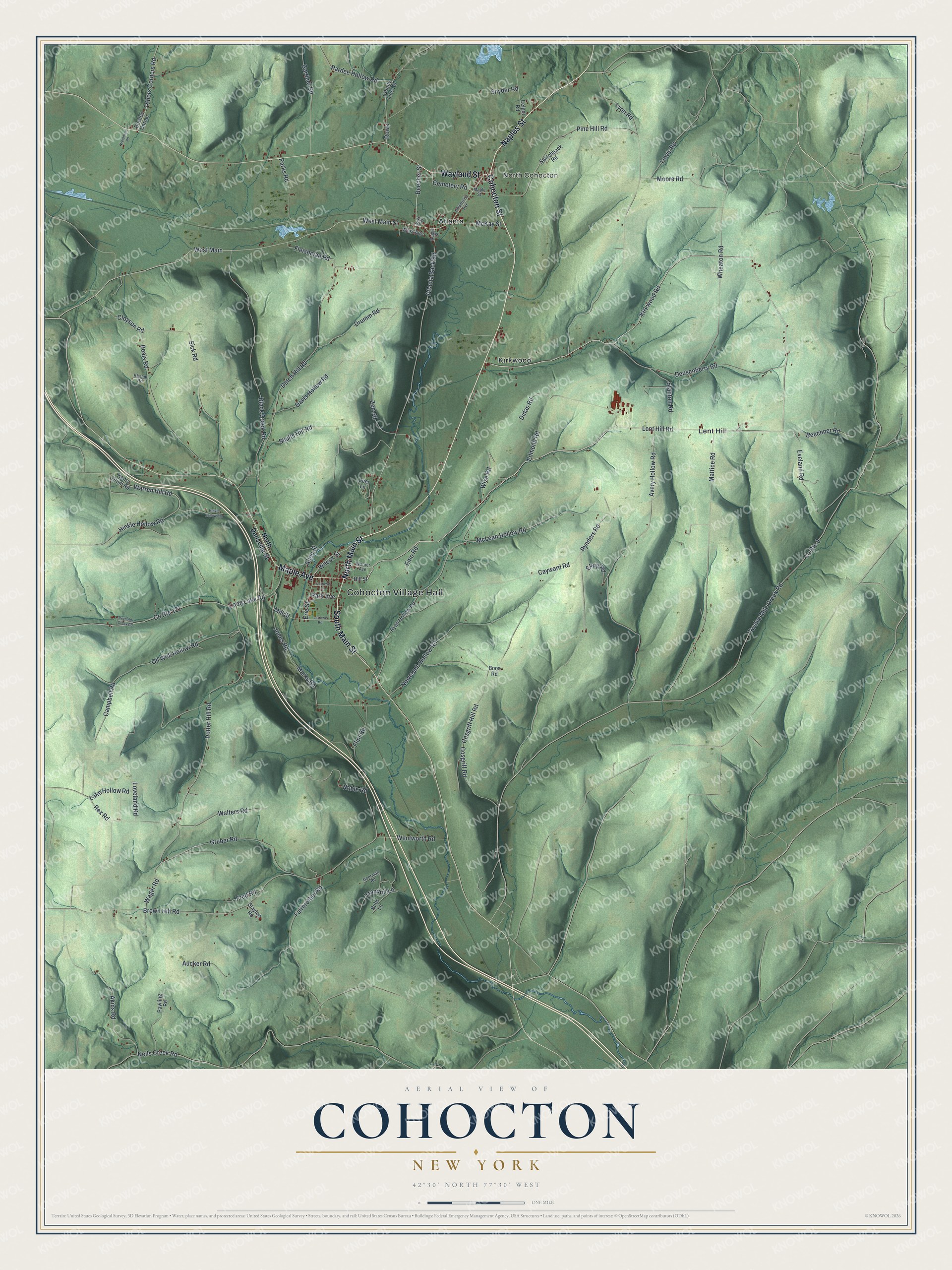
This beautifully detailed map of Cohocton, New York was created in 2026 using aerial imagery combined with modern topographical, census, street and landmark data. It’s a one-of-a-kind view of Cohocton that combines accurate data with a vintage aesthetic. The map shows every building in its true location, many of the roads carry their names, and the shaded topographic relief shows the shape of the land.
Explore an aerial view of Cohocton, New York
On the map you’ll find Cohocton Village Hall, North Cohocton, Atlanta, Kirkwood, and Lent Hill, along with Wayland Street, Cohocton Street, Naples Street, Maple Avenue, and more. If you look closely you can even find your house accurately drawn in its correct location. Zoom in on the preview to look for yours.
Did You Know?
Settlers first came to Cohocton around 1794. The town was formed from Bath and Dansville in 1812, and its first name was Liberty. Writers used both Cohocton and Conhocton as late as 1836. By 1860 the shorter spelling had become the steady choice.
Take a closer look at the Cohocton map
Names on this map
These names are printed on this map.
Places: Cohocton Village Hall, North Cohocton, Atlanta, Kirkwood and Lent Hill.
Streets and roads: Wayland Street, Cohocton Street, Naples Street, Maple Avenue, North Main Street, South Main Street, Lent Hill Road, Kirkwood Road, McKay Street, Beecher Street, Atlanta Back Road, West Main Street.
More street names, A to Z
Akins Road, Allen Street, Aucker Road, Avery Hollow Road, Beals Road, Beechner Road, Black Creek Road, Boggs Street, Boos Road, Bowles Corner, Brown Hill Road, Bubs Lane, Campbell Road, Cayward Road, Cemetery Road, Cloyson Road, Cosgriff Hill Road, Cosgriff Road, County Line Road, County Route 9, County Route 121, Craig Road, Davis Hollow Road, Deer Lane, Deusenberry Road, Didas Road, Doorman Road, Drumm Road, Dutch Hill Road, Edmond Road, Eelpot Road, Emo Road, Erie Street, Eveland Road, Fairbrother Road, Fleishman Road, Flint Road, Fred Road, Gardner Road, Gruber Road, Henry Drum Road, Hill Street, Hinkle Hollow Road, Hinkle Hollow Spr, Jones Road, Lake Hollow Road, Larrowe Road, Larrowe Street, Lewis Road, Loon Lake Road, Loveland Road, Lyon Road, Maple Street, Marks Road, Mattice Road, McLean Hollow Road, Mill Road, Mill Street, Moore Road, Neils Creek Road, Newcomb Hollow Road, Noble Road, North Dansville Street, Oil Well Hollow Road, Pardee Hollow Road, Park Avenue, Parks Road, Pawling Road, Pine Hill Road, Potter Hill Road, Rex Road, Reynolds Creek Road, Rheam Road, Rowe, Ryan Hollow Road, Rynders Road, Shults Hill Road, Sick Road, Slayton Road, Snyder Road, Stanton Road, Switchback Road, Tabors Corners Road, Tranquil Lane, Twelve Mile Creek Road, University Avenue, Wager Road, Walters Road, Warner Avenue, Warren Hill Road, Weidman Road, Wentworth Road, West Avenue, West Main, Wheaton Road, Wilcox Street, Wise Road, Zeh Road.
See it on a wall
The Cohocton map as a framed print. Swipe for more.


This beautifully detailed map of Cohocton makes an attractive addition to your office, library, or den, and it can even be used to teach children the geography and history of the area. It also makes a great gift for someone who left Cohocton and still calls it home. When you’re done exploring, click here to get your copy of the Cohocton map.