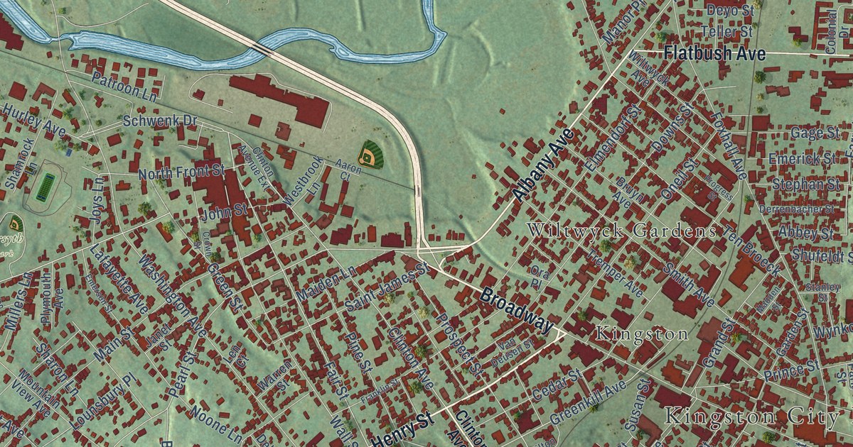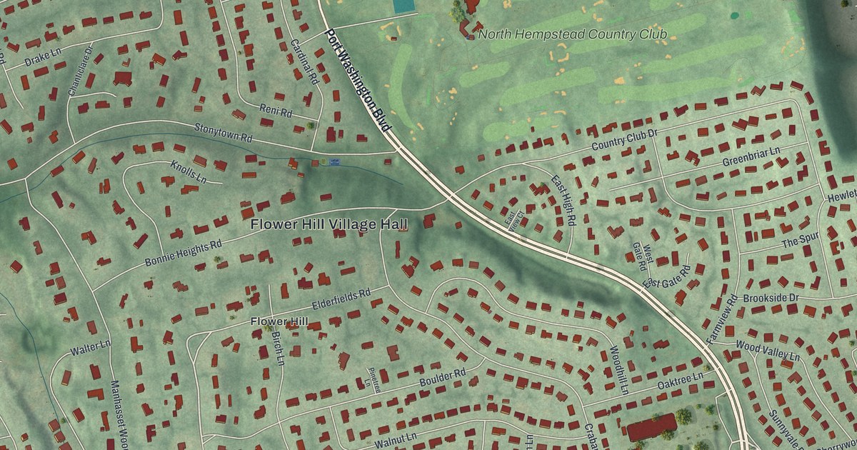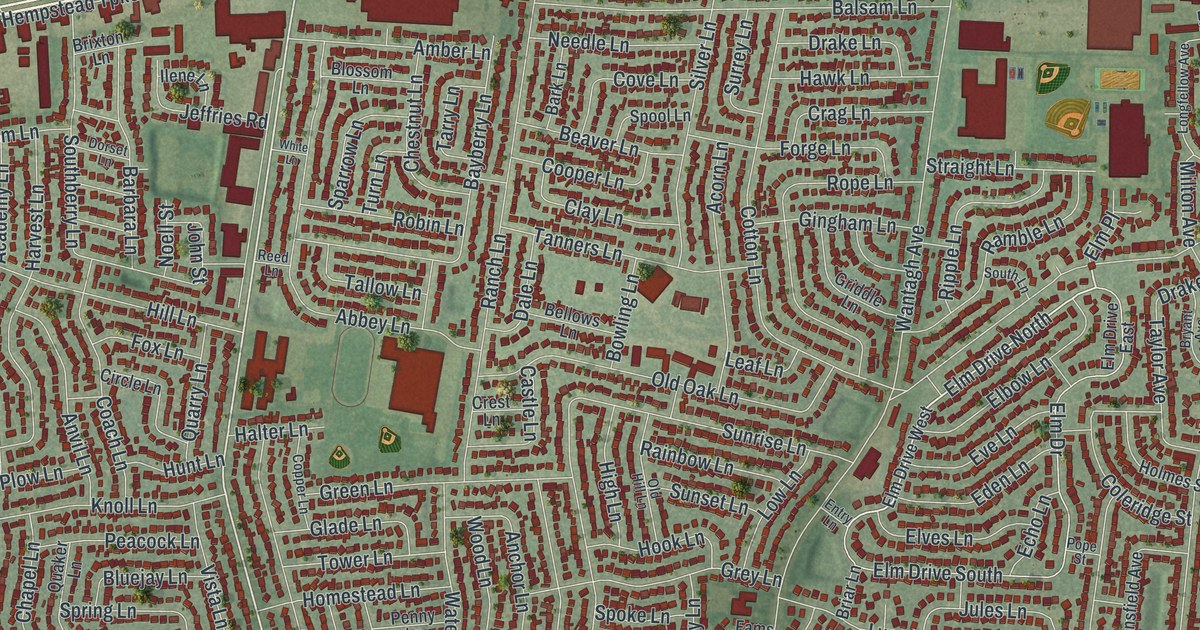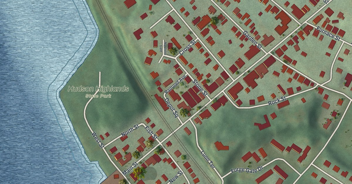
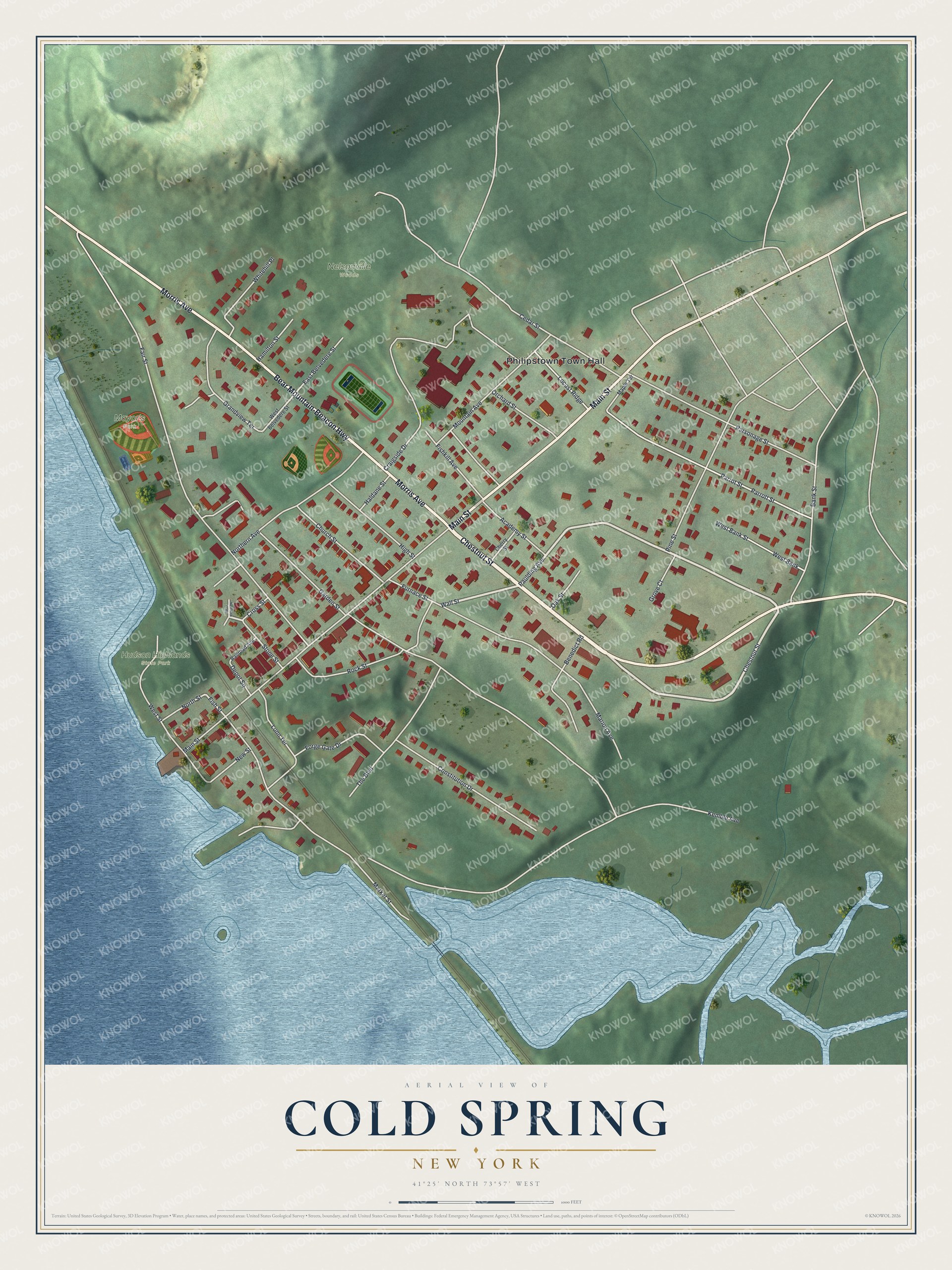
This beautifully detailed map of Cold Spring, New York was created in 2026 using aerial imagery combined with modern topographical, census, street and landmark data. It’s a one-of-a-kind view of Cold Spring that combines accurate data with a vintage aesthetic. The map shows every building in its true location, many of the roads carry their names, and the shaded topographic relief shows the shape of the land.
Explore an aerial view of Cold Spring, New York
On the map you’ll find Philipstown Town Hall, Hudson Highlands State Park, and Mayor’s Park, along with Chestnut Street, Bear Mountain-Beacon Highway, Morris Avenue, Main Street, and more. If you look closely you can even find your house accurately drawn in its correct location. Zoom in on the preview to look for yours.
Did You Know?
In 1818 Gouverneur Kemble opened the West Point Foundry to make artillery for the federal government. In 1843 it built the USS Spencer, the first iron ship made in the country. So many workers moved in that Cold Spring became a village in 1846. The foundry closed in 1911 as steel replaced cast iron.
Take a closer look at the Cold Spring map
Names on this map
These names are printed on this map.
Places: Philipstown Town Hall, Nelsonville Woods, Hudson Highlands State Park and Mayor's Park.
Streets and roads: Chestnut Street, Bear Mountain-Beacon Highway, Morris Avenue, Main Street, Bank Street, Paulding Avenue, Wall Street, Parrot Street, Fish Street, Market Street, Kemble Avenue, Fair Street.
More street names, A to Z
Academy Street, Benedict Road, Cedar Street, Cherry Street, Church Street, Constitution Drive, Craigside Drive, Cross Street, Depot Square, East Belvedere Street, Fishkill Avenue, Forge Gate Drive, Furnace Street, Garden Street, Grandview Terrace, Grove Court, Haldane Street, Hamilton Street, High Street, Locust Ridge, Lunn Terrace, Maple Terrace, Marion Avenue, Mountain Avenue, New Street, Northern Avenue, Northern Gate, North Street, Oak Street, Orchard Street, Parrott Street, Parsonage Street, Pine Street, Railroad Avenue, Rock Street, Stone Street, The Boulevard, West Bank, West Bank Street, West Belvedere Street, West Street, Whitehill Place.
See it on a wall
The Cold Spring map as a framed print. Swipe for more.


This beautifully detailed map of Cold Spring makes an attractive addition to your office, library, or den, and it can even be used to teach children the geography and history of the area. It also makes a great gift for someone who left Cold Spring and still calls it home. When you’re done exploring, click here to get your copy of the Cold Spring map.