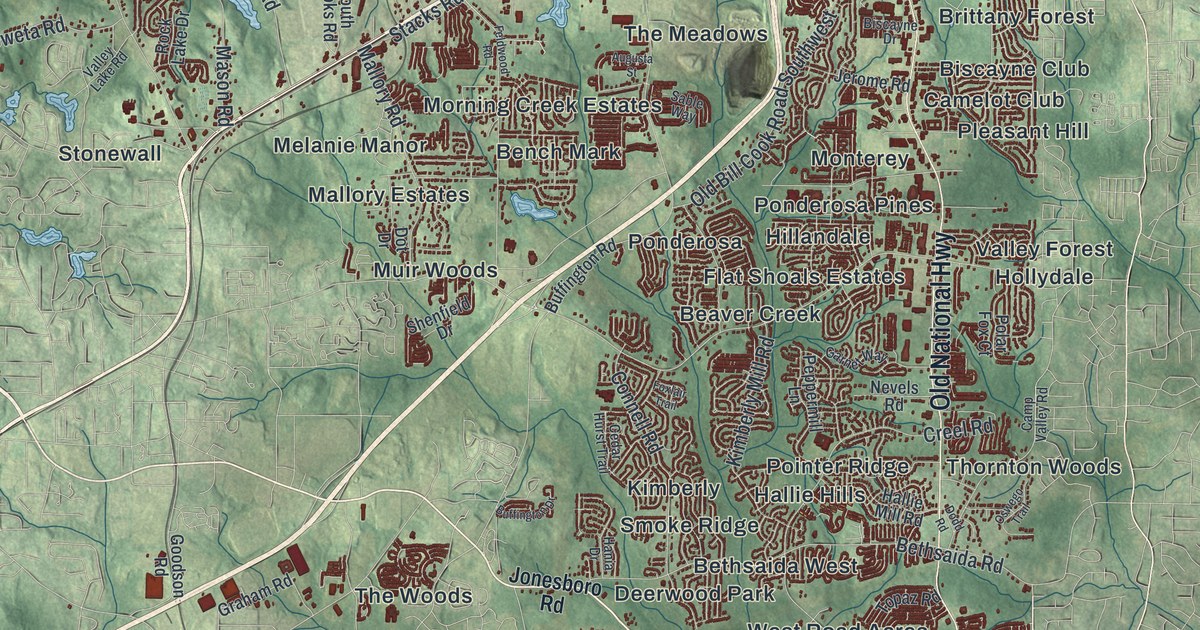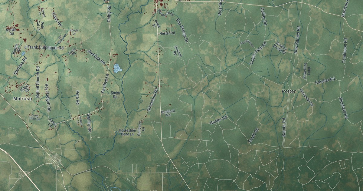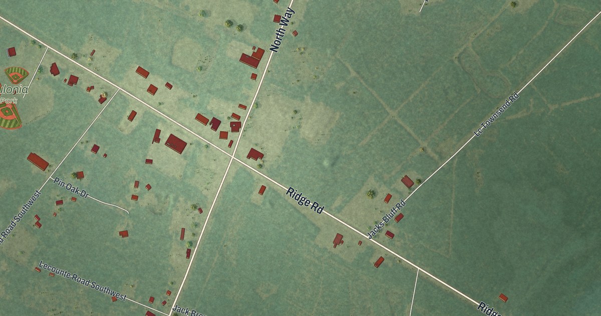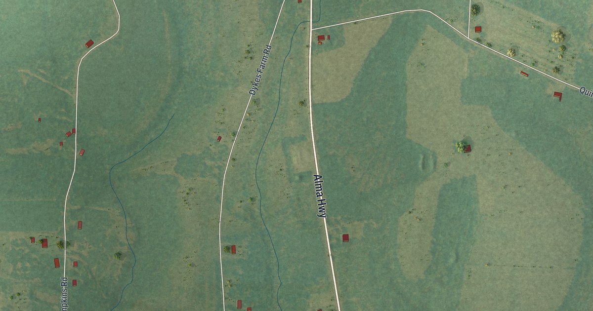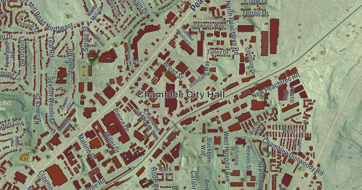
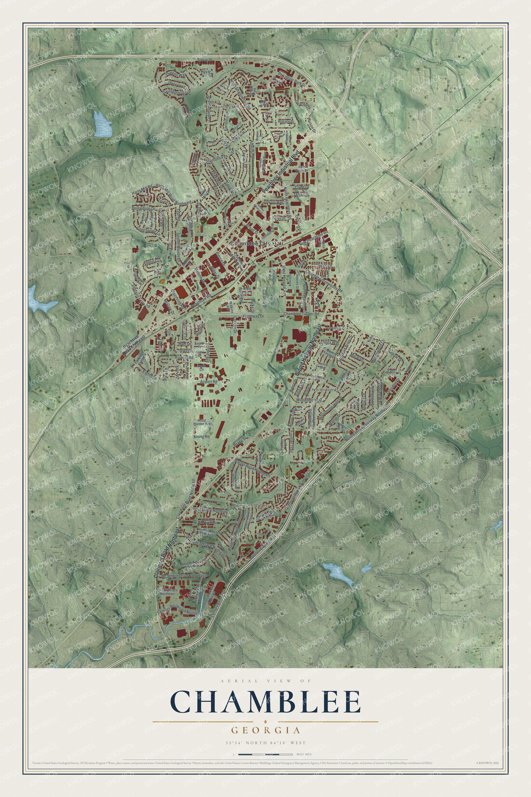
This beautifully detailed map of Chamblee, Georgia was created in 2026 using aerial imagery combined with modern topographical, census, street and landmark data. It’s a one-of-a-kind view of Chamblee that combines accurate data with a vintage aesthetic. The map shows every building in its true location, many of the roads carry their names, and the shaded topographic relief shows the shape of the land.
Explore an aerial view of Chamblee, Georgia
On the map you’ll find Chamblee City Hall, Huntley Hill, Plymouth Colony, Northwoods, Dresden Park, and Keswick Park, along with Peachtree Industrial Boulevard, Buford Highway, Clairmont Road, Peachtree Road, and more. If you look closely you can even find your house accurately drawn in its correct location. Zoom in on the preview to look for yours.
Did You Know?
Two railroads crossed here in the late 1800s, and a settlement called Roswell Junction grew at the crossing. Postal officials thought that name sounded too much like nearby Roswell. So they picked the name Chamblee at random from the list of people who signed the petition for a post office.
Take a closer look at the Chamblee map
Names on this map
These names are printed on this map.
Places: Chamblee City Hall, Huntley Hill, Plymouth Colony, Northwoods, Dresden Park and Keswick Park.
Streets and roads: Peachtree Industrial Boulevard, Buford Highway Northeast, Clairmont Road Northeast, Peachtree Road, Century Center Drive, Northeast Expressway, Northeast Expressway Northeast, Century Boulevard Northeast, Chamblee Dunwoody Road, Chamblee Tucker Road, Dresden Drive, New Peachtree Road.
More street names, A to Z
Admiral Drive, Afond Court, Airport Road, Ann Street, Appling Circle, Appling Drive, Appling Way, Arrow Creek Drive, Beverly Drive, Beverly Hills Drive, Blackburn Way, Bragg Street, Broad Street, Buford Drive, Burke Drive, Burk Terrace, Capehart Circle Northeast, Captain Drive, Carmel Road, Carroll Circle, Catalina Drive, Century Parkway Northeast, Century Place Northeast, Chamblee Dunwoody Way, Chancery Lane, Clairmont Road, Clairmont Terrace Northeast, Clairwood Terrace, Clemson Drive, Clyde Drive, Cold Spring Lane, Commander Drive, Commodore Drive, Corsair Drive, Cumberland Drive, Deacon Lane, Dering Circle Northeast, Donaldson Drive, Dresden Court, Dresden Way, Dyer Circle, Eaton Place, Eighth Street, Ellwyn Drive, Elm Street, Ensign Drive, Fifth Street, Flightway Drive, Flindt Court, Forrestal Drive, Forrest Court, Fortingale Road, Fourth Street, Frontier Trail, Gainsborough Drive, Gentrys Walk, Gramercy Circle, Greenhill Drive, Green Industrial Way, Ham Drive, Hamlin Circle, Hardee Avenue, Harrow Drive, Harts Mill Court, Harts Mill Road, Harts Mill Road Northeast, Harts Run, Hickory Road, Hildon Circle, Hildon Road, Hilltop Drive, Hood Avenue, Independence Court Northeast, Irvindale Way, Ivy Lane, Janice Circle, Jefferson Street, John Glenn Drive, Johnson Circle, Johnson Ferry Road, Johnson Road Northeast, Jordan Terrace Northeast, Kammeyer Lane, Kaylen Drive, Keswick Court, Keswick Drive, Knox Avenue, Kristie Way, Laventure Drive, Lawson Way, London Road, Longview Drive, Longview Way, Loveland Terrace, Malone Drive, Marlin Circle, Marlin Drive, Marlin Way, Marray Drive, McDaniel Street, McGaw Drive, McJenkin Drive Northeast, Meadowood Lane, Medfield Trail Northeast, Miller Drive, Montford Drive, Mural Drive, North Hill Parkway, North Peachtree Road, North Shallowford Road, Ortega Way, Park Lane, Parkridge Crescent, Parson Drive, Peachtree Industrial Court, Peachtree Road Northeast, Pearl Lane, Pearl Lane Court, Perimeter Park Drive, Pierce Drive, Pioneer Court, Plantation Lane, Plaster Road Northeast, Quantum Lane, Queens Way, Quinn Place, Reeves Street, Regency Cove Court, Royal Court, Sama Circle, Savoy Drive, School Street, Seaman Circle, Sexton Woods Drive, Shalimar Drive Northeast, Shallowford Road Northeast, Shallowford Terrace, Spring Street, Stratford Arms Drive, Summer Rose Drive, Surrey Circle, Talley Drive, Teal Road, Terrell Drive, Vanet Road, Variations Drive Northeast, Vijay Drive, Villa Esta Drive, Wallace Drive, Warwick Circle Northeast, Watkins Avenue, West Hardee Avenue, West Hospital Avenue, Whispering Hills Drive, Wingate Road, Woodacres Road Northeast, Woodside Way, Young Road.
See it on a wall
The Chamblee map as a framed print. Swipe for more.


This beautifully detailed map of Chamblee makes an attractive addition to your office, library, or den, and it can even be used to teach children the geography and history of the area. It also makes a great gift for someone who left Chamblee and still calls it home. When you’re done exploring, click here to get your copy of the Chamblee map.