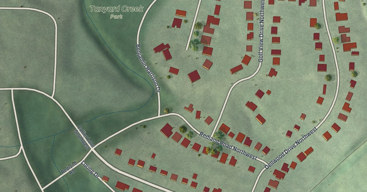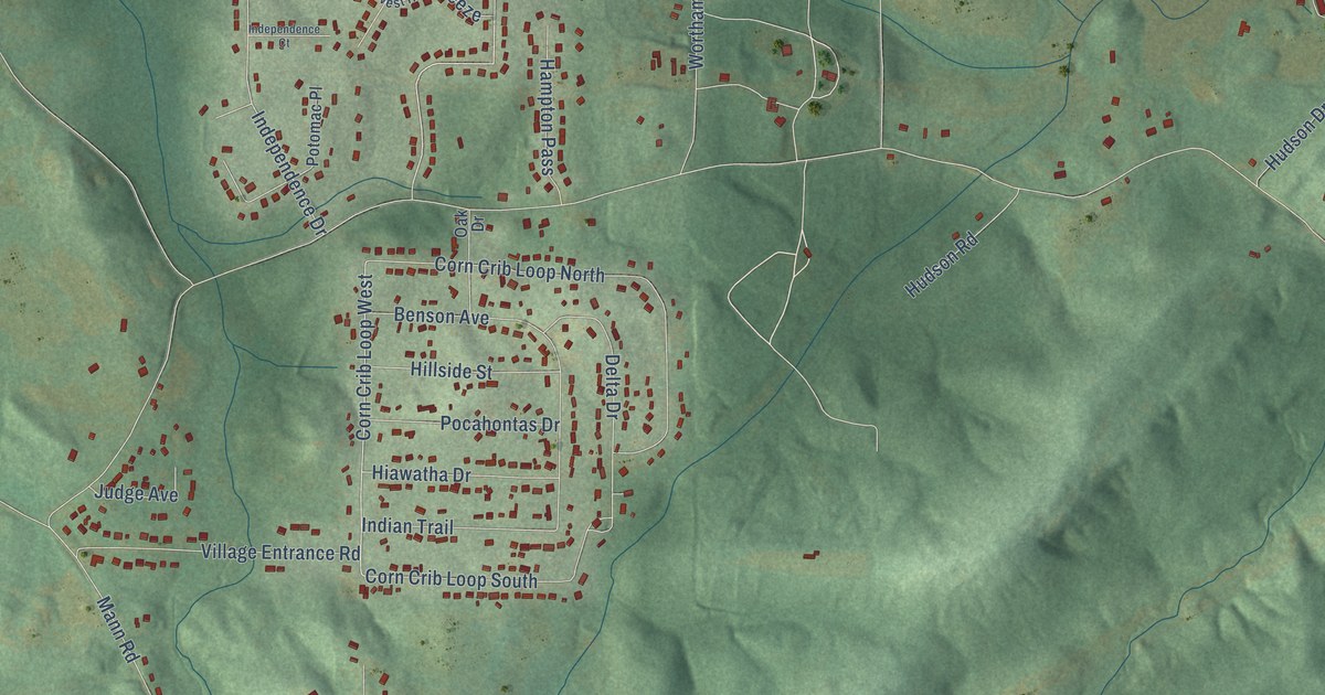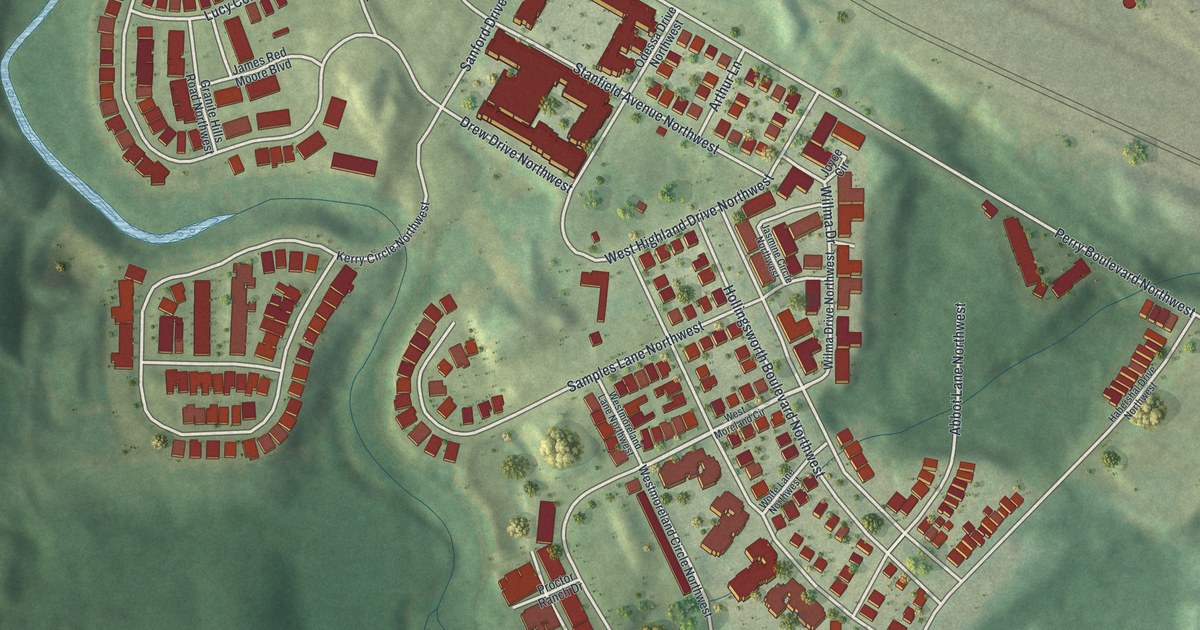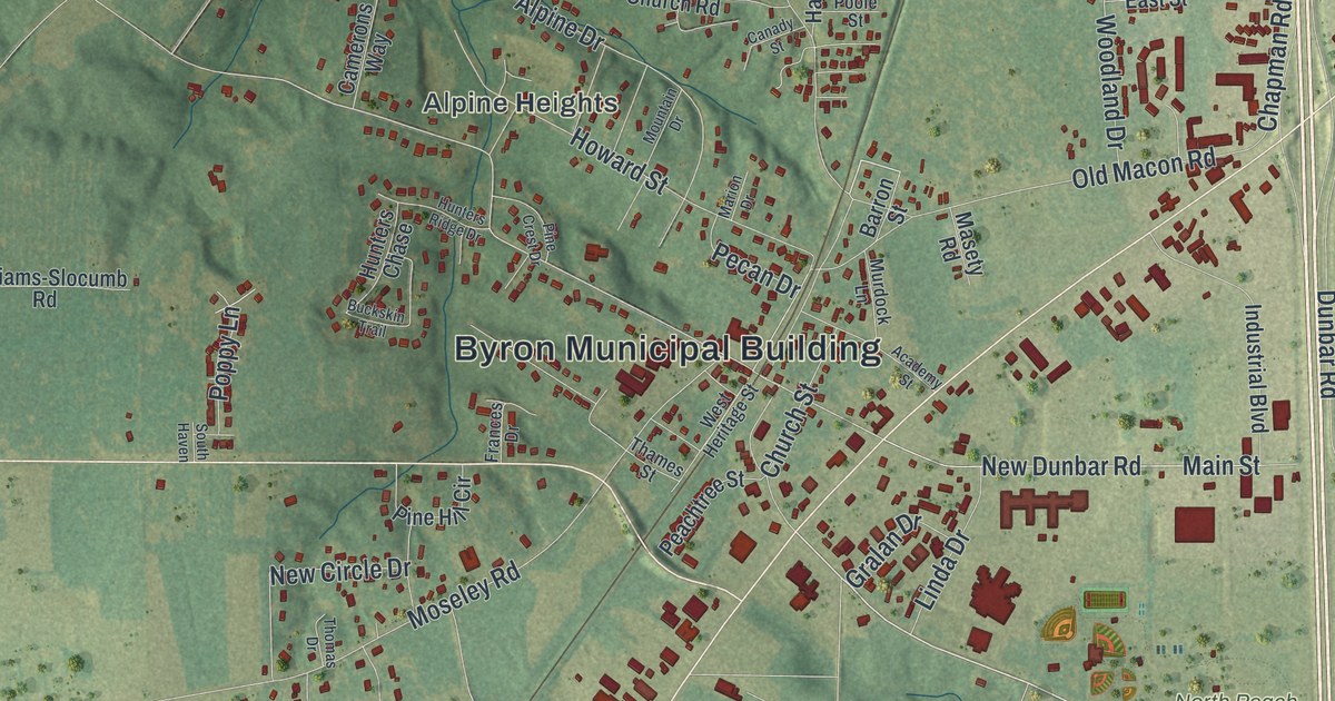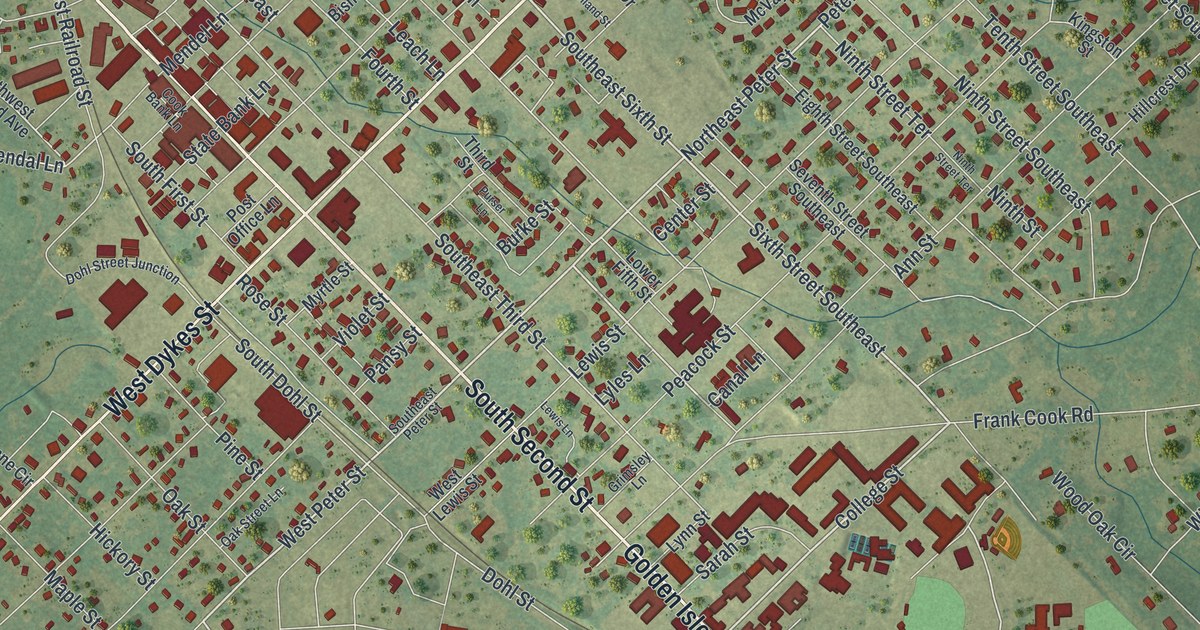
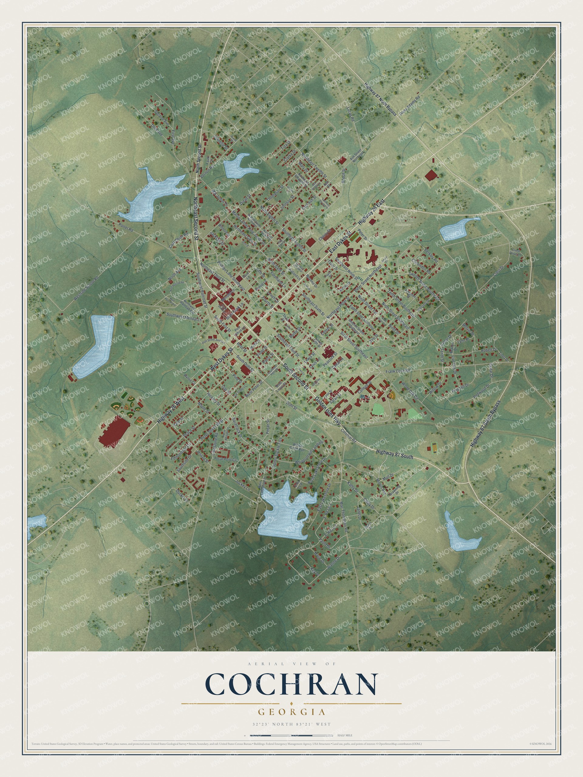
This beautifully detailed map of Cochran, Georgia was created in 2026 using aerial imagery combined with modern topographical, census, street and landmark data. It’s a one-of-a-kind view of Cochran that combines accurate data with a vintage aesthetic. The map shows every building in its true location, many of the roads carry their names, and the shaded topographic relief shows the shape of the land.
Explore an aerial view of Cochran, Georgia
On the map you’ll find Cedar Hill Cemetery, along with Second Street, Dykes Street, Golden Isles Highway, Sixth Street, Peter Street, and more. If you look closely you can even find your house accurately drawn in its correct location. Zoom in on the preview to look for yours.
Did You Know?
Cochran was first known as Dykesboro. B. B. Dykes settled it in the 1850s and owned the land under the town. In 1869 it was renamed for Judge Arthur E. Cochran. As president of the Macon and Brunswick Railroad, he brought the line to town. Cochran became seat of the new Bleckley County in 1912.
Take a closer look at the Cochran map
Names on this map
These names are printed on this map.
Places: Cedar Hill Cemetery.
Streets and roads: Northeast Second Street, South Second Street, East Dykes Street, Highway 87 South, Golden Isles Highway, Highway 26 East, Highway 26 West, Highway 87 South Bypass, West Dykes Street, Sixth Street Southeast, Peter Street Northeast, College Street.
More street names, A to Z
Ann Street, Ash Street, Ash Street Lane, Ash Street Northeast, Beech Street, Berkley Road, Bishop Lane, Browning Drive, Burke Street, Canal Lane, Carol Drive, Cathy Drive, Cedar Drive, Center Street, Cherry Street, City Barn Lane, Clarendon Road, Clarke Drive, Coal Chute Road, Colonial Road, Cook Bank Lane, Crest Drive, Crest Drive Lane, Daisy Adams Road, Diane Street, Dinah Street, Dohl Street, Dohl Street Junction, Duskin Drive, E-Rd Le-1, E-Rd Le 2, E-Rd Ls-8, East Ash Street, East Lakeshore Drive, Edmondson Circle, Eighth Street Southeast, Faulk Circle, Fifth Street, First Avenue, Forehand Lane, Fourth Street, Frank Cook Road, Grimsley Lane, Hickory Street, Highway 87 North Bypass, Hillcrest Drive, Holland Lane, Holland Street, Honey Suckle Trce, Horse Whisper Lane, Jackson Street, Janet Drive, Jeanette Street, Jeanne Drive, Jessup Street, Jockey Lane, Johnson Lane, Johnson Street, Kathy Drive, Kay Drive, Kingston Street, Lamar Drive, Leach Lane, Lewis Lane, Lewis Street, Limestone Road, Linda Drive, Live Oak Drive, Lower Fifth Street, Lucas Road, Lyles Lane, Lynn Place, Lynn Street, Mac Thompson Road, Maple Street, Marie Drive, Martin Luther King Junior Drive, Mary Drive, Masonic Drive, McVay Drive, Melvin Drive, Mendel Lane, Mlk Junior Drive, Moll Drive, Morris Avenue, Myrtle Street, Newton Drive, Ninth Street, Ninth Street Southeast, Ninth Street Terrace, North Avenue, Northeast Eleventh Street, Northeast Peter Street, Northeast Seventh Street, Northeast Sixth Street, Northeast Third Street, Northeast Twelfth Street, North Eighth Street, North Lakeshore Drive, North Railroad Avenue, North Second Street, North Sixth Street, Northwest Railroad Avenue, Oak Street, Oak Street Lane, Pace Lane, Palm Street, Pansy Street, Paula Drive, Peach Street, Peacock Street, Pecan Point Circle, Pecan Street, Peter Street, Peter Street West, Phillips Lane Southeast, Pine Hill Drive, Pine Street, Poplar Street, Porter Road, Post Office Lane, Purser Lane, Racetrack Drive, Redwood Drive, Robert Drive, Rose Street, Sarah Street, School Circle, Second Avenue, Seventh Street Northwest, Seventh Street Southeast, Sixth Street, South Dohl Street, Southeast Eighth Street, Southeast Eleventh Street, Southeast Ninth Street, Southeast Peter Street, Southeast Seventh Street, Southeast Sixth Street, Southeast Third Street, South First Street, Southside Drive, Southwest Mendal Lane, Southwest Railroad Street, State Bank Lane, Taylor Drive, Tenth Street, Tenth Street Southeast, Third Avenue, Third Street, Thompson Street, Tina Drive, Twelfth Street Southeast, Vernon Road, Violet Street, West Lakeshore Drive, West Lewis Street, West Peter Street, West Railroad Avenue, Westside School Road, Whippoorwill Landing, Willow Creek Run, Willow Drive, Wilmore Street, Wood Oak Circle, Wynne Circle.
See it on a wall
The Cochran map as a framed print. Swipe for more.


This beautifully detailed map of Cochran makes an attractive addition to your office, library, or den, and it can even be used to teach children the geography and history of the area. It also makes a great gift for anyone who grew up in Cochran or moved away. When you’re done exploring, click here to get your copy of the Cochran map.