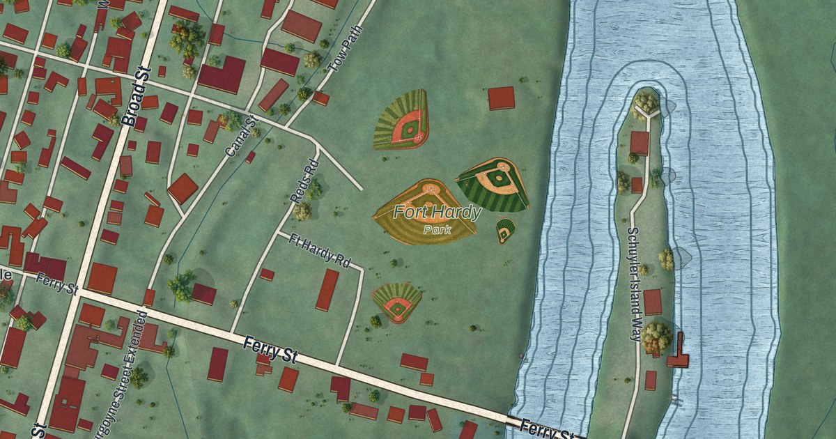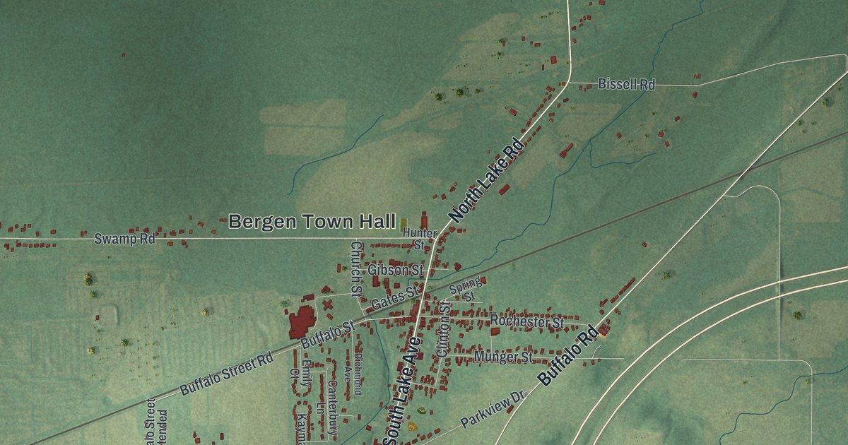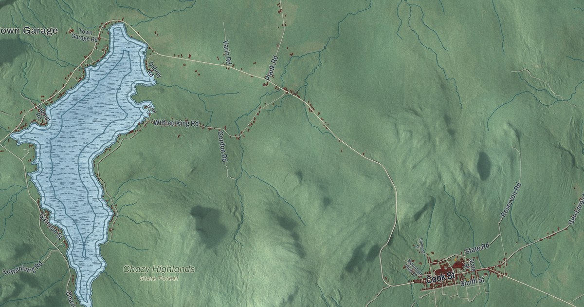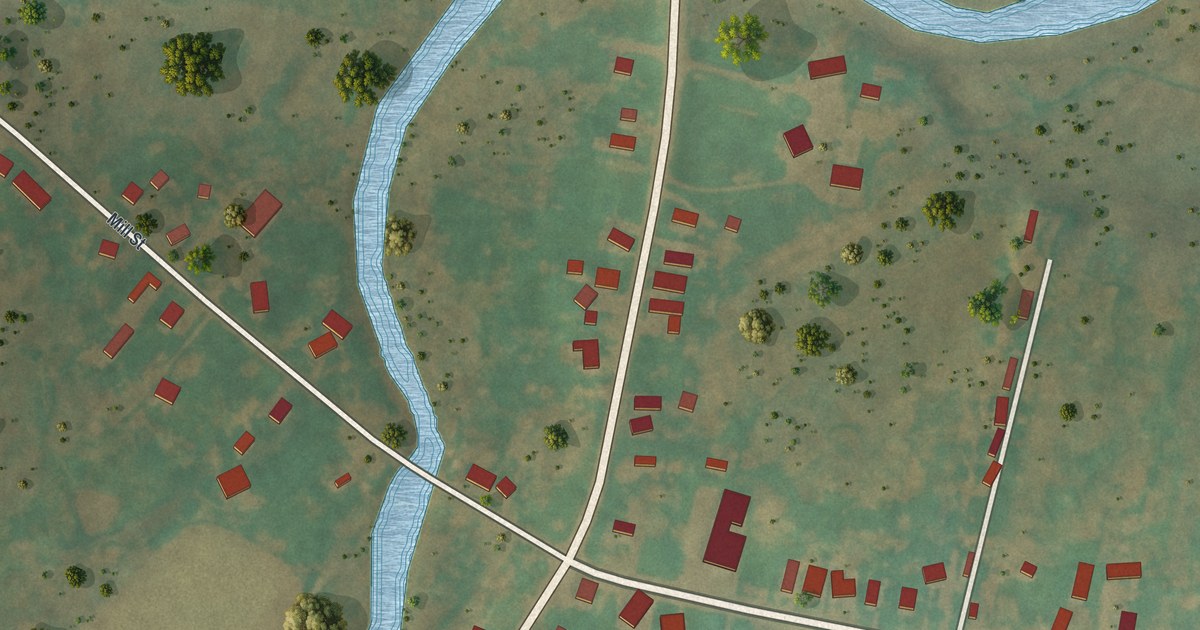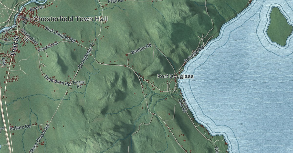
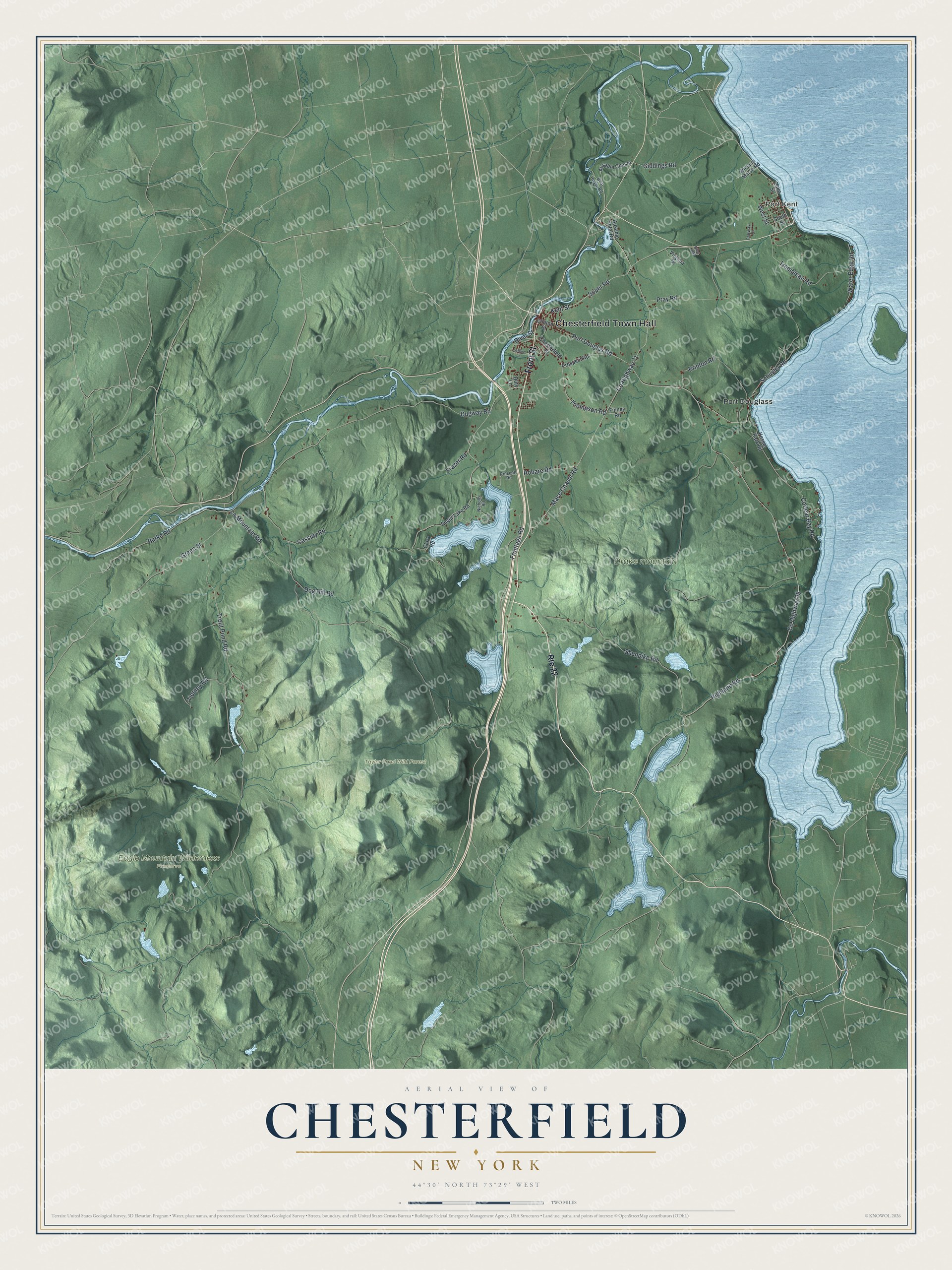
This beautifully detailed map of Chesterfield, New York was created in 2026 using aerial imagery combined with modern topographical, census, street and landmark data. It’s a one-of-a-kind view of Chesterfield that combines accurate data with a vintage aesthetic. The map shows every building in its true location, many of the roads carry their names, and the shaded topographic relief shows the shape of the land.
Explore an aerial view of Chesterfield, New York
On the map you’ll find Chesterfield Town Hall, Port Kent, Port Douglass, Eagle Mountain Wilderness Preserve, and Taylor Pond Wild Forest, along with Front Street, Giddings Road, Thompson Road, Kent Street, and more. If you look closely you can even find your house accurately drawn in its correct location. Zoom in on the preview to look for yours.
Did You Know?
Port Kent, a hamlet in Chesterfield, sits on the western shore of Lake Champlain. Elkanah Watson lived there after the American Revolution, and his house is now a National Historic Landmark. Watson promoted canals across New York and founded the State Bank of Albany. He later started the nation’s first state fair, in Pittsfield, Massachusetts.
Take a closer look at the Chesterfield map
Names on this map
These names are printed on this map.
Places: Chesterfield Town Hall, Port Kent, Drake mountain, Eagle Mountain Wilderness Preserve, Taylor Pond Wild Forest and Port Douglass.
Streets and roads: Front Street, Route 22, Giddings Road, Thompson Road, Kent Street, County Highway 71, West Street, Trout Pond Road, County Highway 28, Highland Road, Mace Chasm Road, Dugway Road.
More street names, A to Z
Acorn Lane, Augur Lake Road, Ausable Chasm, Ausable Hotel Road, Boat House Road, Brinton Road, Burke Road, Cassidy Road, Chesterfield Street, Clark Road, Clinton Street, Corlear Bay Road, Dog Hill Road, Doty Lane, Fairway Drive, Finney Road, Frazer Road, Frontage Road, Green Street, Kessel Park Road, Laflure Lane, Lake Street, La Mountain Road, Nicholls Road, Port Douglas Road, Pray Road, Prescott Road, Prospect Road, Ritas Way, River Street, Robare Road, Schuyler Road, Shunpike Road, Soper Road, South Street, Tierney Road, Trembleau Road, Virginia Drive, Water Edge Road, Wickum Marsh Road.
See it on a wall
The Chesterfield map as a framed print. Swipe for more.


This beautifully detailed map of Chesterfield makes an attractive addition to your office, library, or den, and it can even be used to teach children the geography and history of the area. It also makes a great gift for anyone with Chesterfield roots. When you’re done exploring, click here to get your copy of the Chesterfield map.