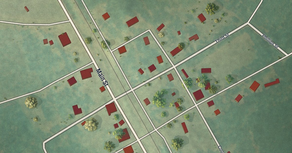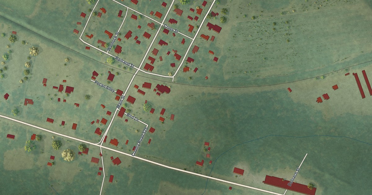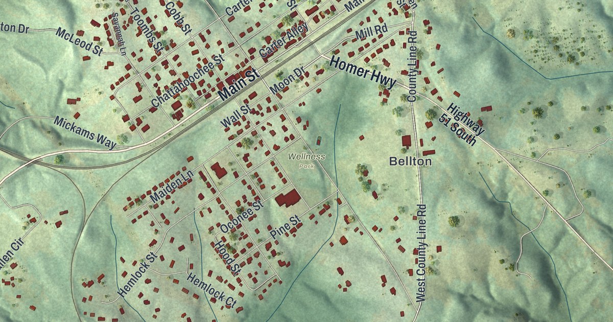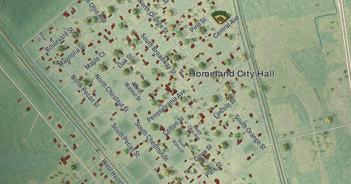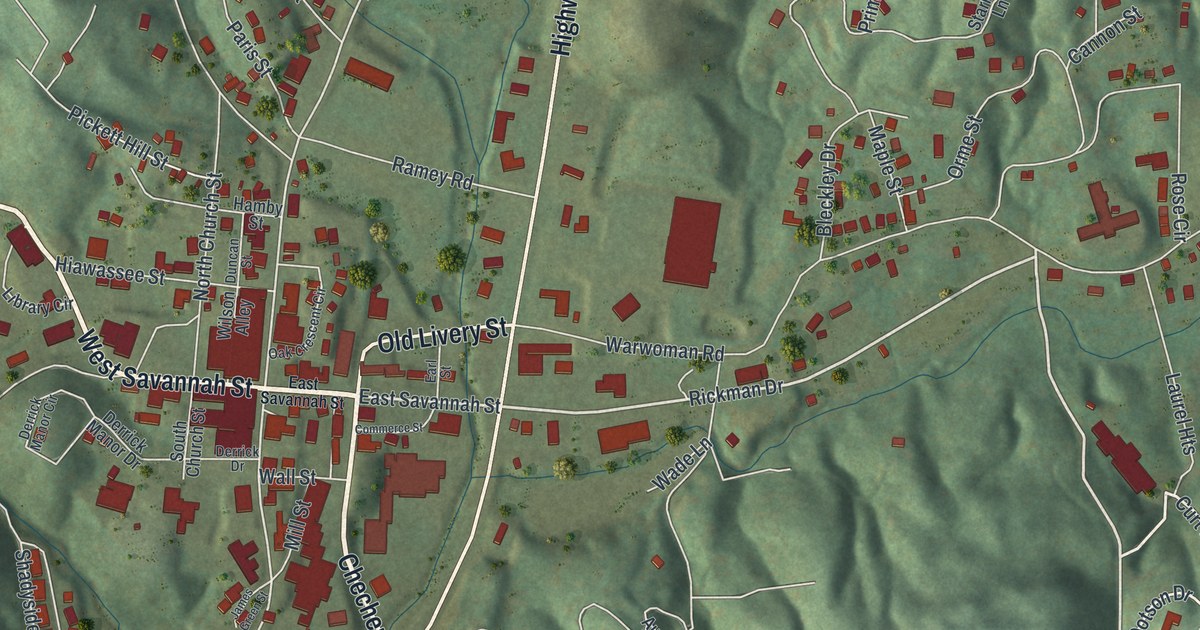
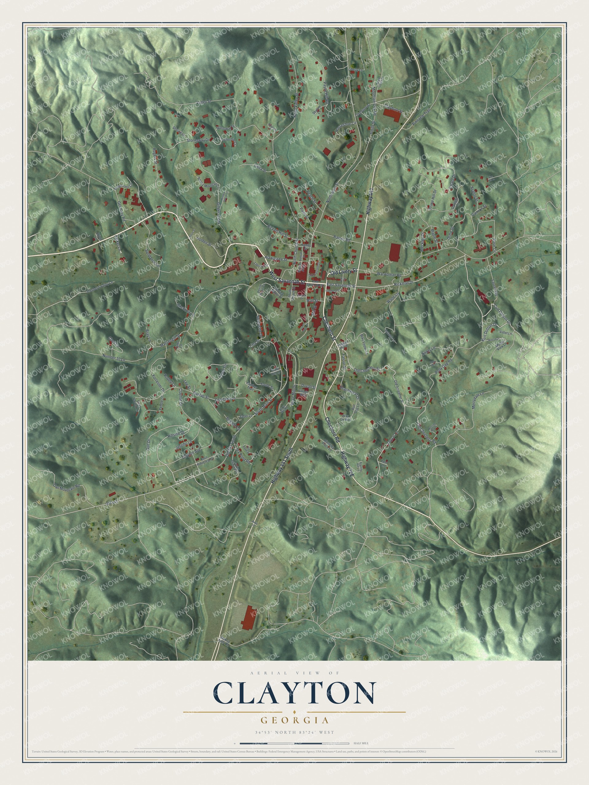
This beautifully detailed map of Clayton, Georgia was created in 2026 using aerial imagery combined with modern topographical, census, street and landmark data. It’s a one-of-a-kind view of Clayton that combines accurate data with a vintage aesthetic. The map shows every building in its true location, many of the roads carry their names, and the shaded topographic relief shows the shape of the land.
Explore an aerial view of Clayton, Georgia
On the map you’ll find Chechero Street, Savannah Street, Chechero Road, Old Livery Street, Polly Gap Road, and more. If you look closely you can even find your house accurately drawn in its correct location. Zoom in on the preview to look for yours.
Did You Know?
Clayton was first known as the Dividings, where three important Cherokee trails crossed. Settlers founded Claytonsville in 1821 as the seat of Rabun County. When the town incorporated in 1823, it took the shorter name Clayton. It honored Judge Augustin S. Clayton, a Georgia jurist who later served two terms in Congress.
Take a closer look at the Clayton map
Names on this map
These names are printed on this map.
Streets and roads: Chechero Street, West Savannah Street, Chechero Road, Highway 441, Highway 441 South, Old Livery Street, Polly Gap Road, Rickman Drive, East Savannah Street, Curt Dotson Drive, Warwoman Road, Old Chechero Road.
More street names, A to Z
Autumn Lane, Avalon Street, Beachwood Drive, Birchtree Lane, Bleckley Drive, Bleckley Place Lane, Bray Lane, Brigade Lane, Bull Dog Lane, Bynum Street, Cannon Street, Celia Street, Clark Lane, Clayburne Street, Clayburn Street, Clayton Avenue, Clayton Drive, Colorado Lane, Commerce Street, Coon Hound Lane, Derrick Drive, Derrick Manor Circle, Derrick Manor Drive, Dixieland Street, Dry Pond Drive, Dry Pond Road, Duggan Hill Drive, Duncan Street, Dunlap Street, Duvall Street, Earl Street, East Pinecrest Drive, Elliott Lane, Estate Drive, Falcon Street, Fern Lane, Forrester Drive, Germany Road, Ginger Creek, Golf Drive, Hamby Street, Hiawassee Street, Hillside Drive, Holden Street, Horseshoe Circle, James Green Street, Jaquar Lane, Jericho Lane, Knots Lane, Kurt Dotson Drive, Laurel Heights, Leaning Chimney Drive, Lee Street, Liberty Lane, Library Circle, Lina Street, Lockerbie Court, Maple Street, Marsengill Street, Meadow Stream Lane, Merrydale Lane, Mike Foster Lane, Mill Street, Morning Dew Lane, Mountain City Road, Mystic View Lane, North Church Street, North Main Street, North Valley Street, Number 10 Lane, Oak Crescent Circle, Old 441, Old 441 South, Old Chechero Street, Old Screamer Street, Orme Street, Owl Mountain Road, Panther Trail, Paris Street, Parker Lane, Payne Hill Road, Peach Street, Pebble Lane, Pickett Hill Street, Pinnacle Trail, Prime Hill Drive, Radio Lane, Ramey Road, Ridgecrest Circle, Rodeo Lane, Rogers Street, Rose Circle, Saber Lane, Shadyside Drive, Shepherd Valley Lane, Skyline Lane, Smith Street, Smoky Mountain Lane, South Church Street, South Main Street, Stage Coach Drive, Starlight Lane, Starling Hill Lane, Stave Mill Road, Stekoa Falls Road, Stirling Lane, Stornaway Drive, Stornoway Drive, Stove Mill Drive, Sundance Lane, Tator Tot Lane, Toole Circle, Toole Street, Turtle Hill Lane, Tyler Lane, Valley Street, Village Way, Vine Hill Lane, Violet Lane, Wade Lane, Wall Street, Way Up Way, Wilson Alley, Winston Lane.
See it on a wall
The Clayton map as a framed print. Swipe for more.


This beautifully detailed map of Clayton makes an attractive addition to your office, library, or den, and it can even be used to teach children the geography and history of the area. It also makes a great gift for anyone who grew up in Clayton or moved away. When you’re done exploring, click here to get your copy of the Clayton map.