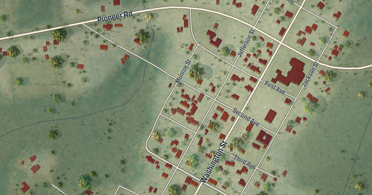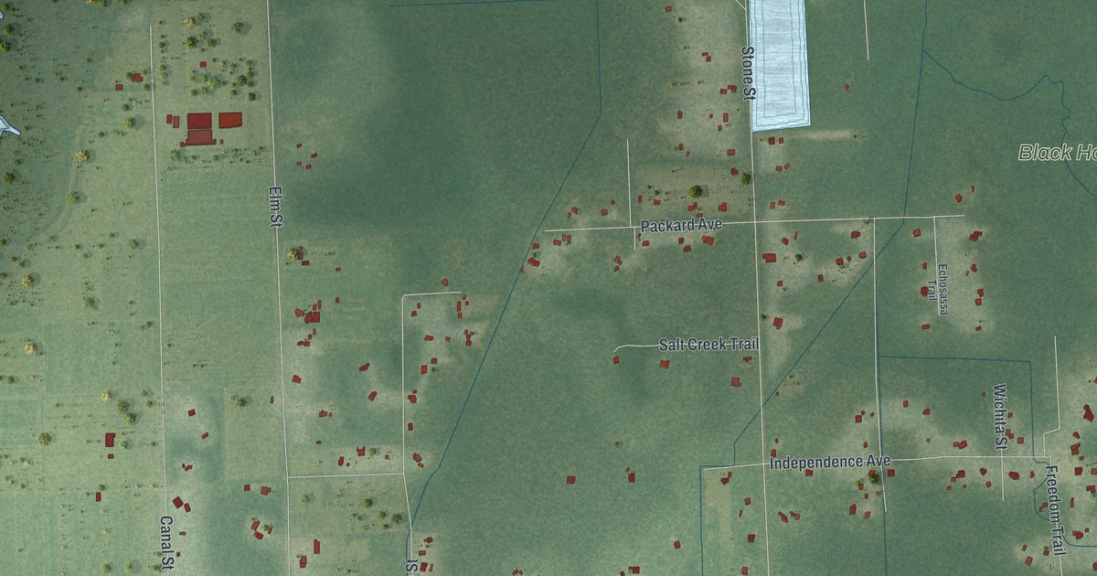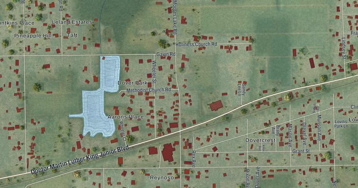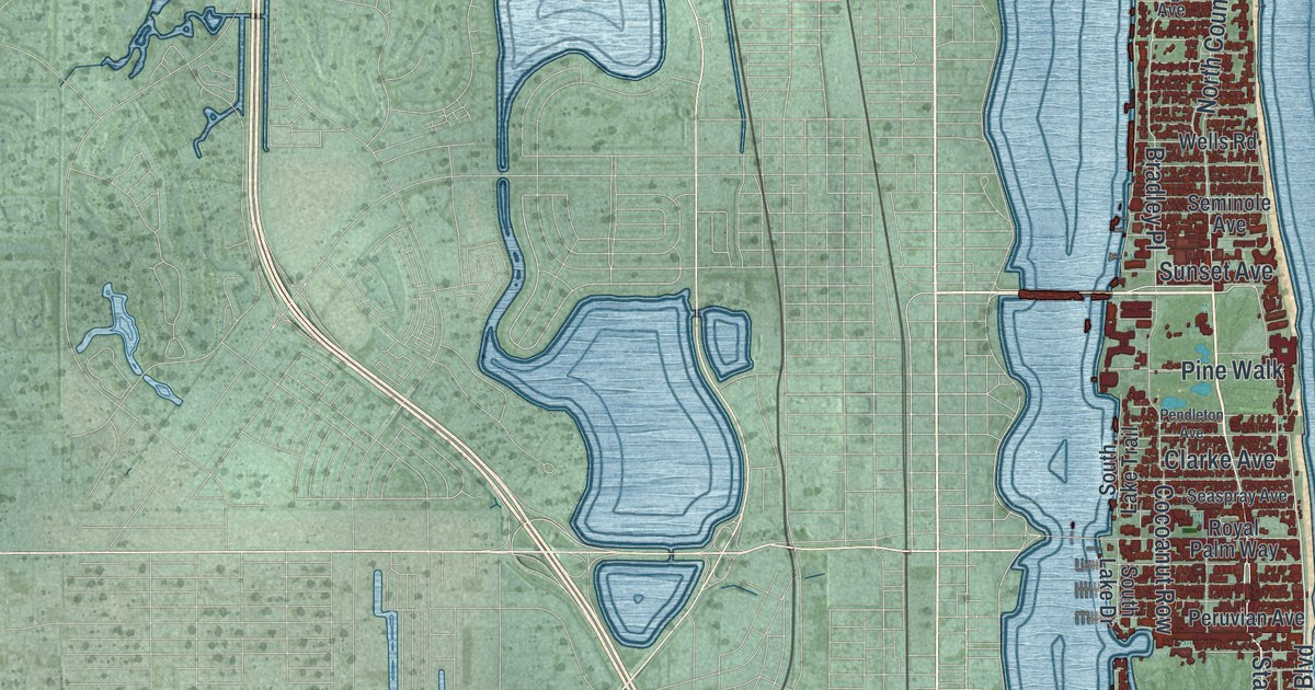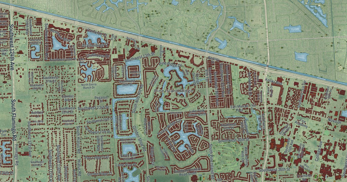
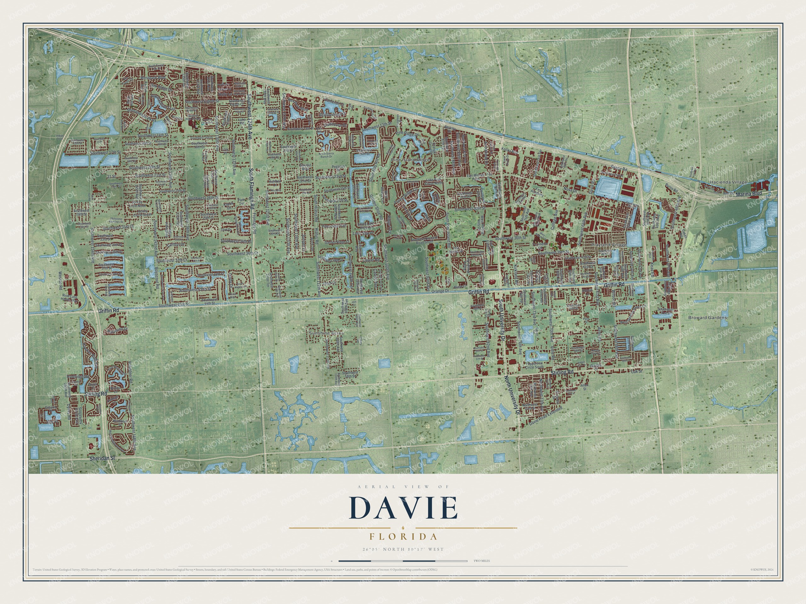
This beautifully detailed map of Davie, Florida was created in 2026 using aerial imagery combined with modern topographical, census, street and landmark data. It’s a one-of-a-kind view of Davie that combines accurate data with a vintage aesthetic. The map shows every building in its true location, many of the roads carry their names, and the shaded topographic relief shows the shape of the land.
Explore an aerial view of Davie, Florida
On the map you’ll find Tree Tops Park, Vista View Park, Broward Gardens, Hacienda Village, Pine Island Ridge, Playland Village, and Sunshine Acres, along with South University Drive, Griffin Road, Stirling Road, South Flamingo Road, Southwest 124th Avenue, and more. If you look closely you can even find your house accurately drawn in its correct location. Zoom in on the preview to look for yours.
Did You Know?
Around 1900, Florida drained 156 square miles of swampland here. Out-of-state businessman Robert Parsell Davie bought 44 square miles of it to build farms. He founded a town called Zona. Within a few years, its people renamed it Davie to honor him.
Take a closer look at the Davie map
Names on this map
These names are printed on this map.
Places: Tree Tops Park, Vista View Park, Broward Gardens, Hacienda Village, Pine Island Ridge, Playland Village and Sunshine Acres.
Streets and roads: South University Drive, Griffin Road, Stirling Road, South Flamingo Road, Southwest 124th Avenue, North University Drive, Marina Boulevard, Sheridan Street, South Pine Island Road, Southwest 36th Street, Hiatus Road, Southwest 82nd Avenue.
More street names, A to Z
17th Place, 21 Street, 24th Street, 33rd Drive, 42nd Court, 46th Court, 72nd Terrace, 137th Avenue, Aires Road, Allen Street, Alpine Woods Road, Amherst Avenue, Appalachian Trail, Arborwood Circle, Arrowhead Drive, Ashford Lane, Bartell Road, Berkley Drive, Birch Terrace, Blaze Court, Blue Ridge Way, Boyscout Road, Bright Road, Bristol Avenue, Bristol Lane, Burris Road, Cameron Court, Carlton Drive, Carroll Avenue, Cherry Road, Clubhouse Drive, College Avenue, Danbury Avenue, Davie Road, Davie Road Extended, Derby Drive, Dogwood Lane, Dover Court, Durham Lane, Dykes Road, Earl Morrall Pass, Earnest Boulevard, East Lake Estates Drive, East Oak Knoll Circle, East Tree Tops Court, East Waterford Drive, El Jardin Drive, Erie Place, Estates Road, Evergreen Place, Fairfax Avenue, Falconsgate Avenue, Fire Academy, Flamingo Elementary, Forest Lane, Forest Ridge Circle, Frontage Road, Garden Court, Garden Ridge Court, Gauntlet Hall Lane, Golden Shoe Road, Gulfstream Way, Hacienda Boulevard, Hawkes Bluff Avenue, Hidden Cove Drive, Hidden Hollow Lane, Holly Lane, Honey Tree Lane, Huntridge Road, Huron Terrace, Indian Trce, Isla Merita Drive, Jockey Circle North, Jockey Circle South, Juniper Lane, Kapok Lane, Kean Road, Kirkland Road, Kolsky Boulevard, Lake Avenue, Lake Park Circle North, Lake Road, Laurel Oaks Drive, Laurel Road, Lone Star Place, Maple Lane, Mary McCahill Drive, Millstone Ranches Drive, Myrtle Oak Circle, North Forest Oak Circle, North Lake Vista Circle, North Sierra Ranch Drive, North Valencia Drive, Northwest 33rd Street, Northwest 37th Street, Northwest 76th Avenue, Northwest 77th Avenue, Northwest 78th Avenue, Nova Drive, Oakes Road, Oak Park Circle, Oak Ridge Drive, Oak Street, Old Orchard Road, Ontario Place, Orange Drive, Orange Grove Drive, Palm Street, Palomino Drive, Park Terrace, Pegasus Street, Peppertree Circle South, Perimeter Road, Piccadilly Place, Pine Lodge Trail, Pine Ridge Drive, Ray Ferrero Junior Boulevard, Red Road, Reese Road, Rexmere Boulevard, Rick Case Honda Way, Ridge Trce, Roanoke Street, Robert Lane, Rock Hill Avenue, Scarborough Drive, Sedgewyck Circle East, Shenandoah Parkway, Shot Gun Road, Southern Orchard Road South, South Hiatus Road, South Lake Forest Drive, South Lake Vista Circle, South Nob Hill Road, South Valencia Drive, Southwest 13th Place, Southwest 13th Street, Southwest 14th Place, Southwest 14th Street, Southwest 15 Place, Southwest 15th Court, Southwest 15th Street, Southwest 16th Court, Southwest 16th Place, Southwest 16th Street, Southwest 17th Court, Southwest 17th Street, Southwest 18th Court, Southwest 18th Street, Southwest 19th Court, Southwest 20th Street, Southwest 21st Street, Southwest 22nd Court, Southwest 22nd Place, Southwest 22nd Street, Southwest 23rd Street, Southwest 24th Place, Southwest 24th Street, Southwest 25th Court, Southwest 25th Street, Southwest 26th Street, Southwest 27th Place, Southwest 27th Street, Southwest 28th Court, Southwest 28th Street, Southwest 29th Court, Southwest 29th Street, Southwest 30th Street, Southwest 31st Court, Southwest 31st Street, Southwest 32nd Street, Southwest 33rd Court, Southwest 33rd Street, Southwest 34th Place, Southwest 34th Street, Southwest 35th Street, Southwest 36th Court, Southwest 37th Court, Southwest 37th Place, Southwest 37th Street, Southwest 38th Drive, Southwest 38th Street, Southwest 39th Court, Southwest 39th Street, Southwest 40th Street, Southwest 41st Avenue, Southwest 41st Court, Southwest 41st Street, Southwest 42nd Street, Southwest 43rd Street, Southwest 44th Street, Southwest 45th Street, Southwest 46th Avenue, Southwest 47th Avenue, Southwest 48th Avenue, Southwest 48th Court, Southwest 49th Street, Southwest 49th Way, Southwest 50th Avenue, Southwest 51st Street, Southwest 52nd Avenue, Southwest 53rd Avenue, Southwest 54th Avenue, Southwest 54th Terrace, Southwest 55th Avenue, Southwest 55th Court, Southwest 56th Avenue, Southwest 56th Street, Southwest 56th Terrace, Southwest 57th Street, Southwest 57th Terrace, Southwest 58th Avenue, Southwest 58th Court, Southwest 58th Street, Southwest 60th Avenue, Southwest 61st Avenue, Southwest 64th Avenue, Southwest 65th Avenue, Southwest 66th Terrace, Southwest 68th Avenue, Southwest 70th Avenue, Southwest 70th Terrace, Southwest 71st Terrace, Southwest 72nd Avenue, Southwest 72nd Way, Southwest 73rd Avenue, Southwest 73rd Terrace, Southwest 73rd Way, Southwest 74th Terrace, Southwest 75th Avenue, Southwest 76th Avenue, Southwest 78th Drive, Southwest 79th Avenue, Southwest 81st Terrace, Southwest 82nd Way, Southwest 83rd Terrace, Southwest 85th Avenue, Southwest 86th Avenue, Southwest 87th Terrace, Southwest 92nd Avenue, Southwest 95th Avenue, Southwest 97th Lane, Southwest 100th Avenue, Southwest 101st Avenue, Southwest 101st Road, Southwest 103rd Lane, Southwest 105th Avenue, Southwest 105th Lane, Southwest 105th Terrace, Southwest 106th Avenue, Southwest 106th Terrace, Southwest 108th Avenue, Southwest 108th Way, Southwest 109th Avenue, Southwest 110th Avenue, Southwest 111th Terrace, Southwest 112th Avenue, Southwest 112th Way, Southwest 115th Avenue, Southwest 116th Avenue, Southwest 117th Avenue, Southwest 117th Way, Southwest 118 Terrace, Southwest 120th Terrace, Southwest 120th Way, Southwest 121st Avenue, Southwest 121st Terrace, Southwest 127th Avenue, Southwest 128th Drive, Southwest 130th Avenue, Southwest 131st Avenue, Southwest 131st Terrace, Southwest 132 Way, Southwest 132nd Way, Southwest 133rd Avenue, Southwest 135th Terrace, Southwest 136th Avenue, Southwest 137th Terrace, Southwest 139th Avenue, Southwest 139th Terrace, Southwest 140th Avenue, Southwest 141st Avenue, Southwest 141st Terrace, Southwest 142nd Avenue, Southwest 145th Avenue, Southwest 148th Avenue, Southwest 151st Avenue, Southwest 154th Avenue, Southwest 160th Avenue, Southwest Eighth Court, Southwest Eighth Street, Southwest Eleventh Street, Southwest Fifth Court, Southwest Ninth Place, Southwest Seventh Street, Southwest Tenth Court, South Winners Circle, Superior Boulevard, Surrey Circle, Tanya Lee Circle, Tower Shops Drive, Trotter Boulevard, Via Tivoli Court, Viele Road, Village Way, Volunteer Road, West Abiaca Circle, Western High School, West Lake Estates Drive, Weston Road, Westpark Boulevard, West Rolling Hills Circle, West State Road 84, West Sterling Ranch Circle, West Stonebrook Circle, West Wedgewood Avenue, White Hall Drive, White Stone Way, Wilson Road, Windbluff Street.
See it on a wall
The Davie map as a framed print. Swipe for more.


This beautifully detailed map of Davie makes an attractive addition to your office, library, or den, and it can even be used to teach children the geography and history of the area. It also makes a great gift for anyone with Davie roots. When you’re done exploring, click here to get your copy of the Davie map.