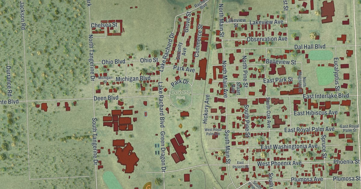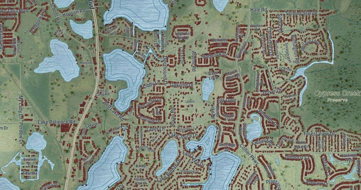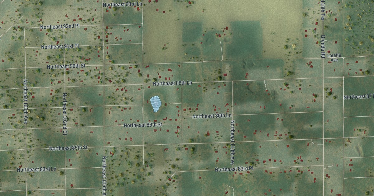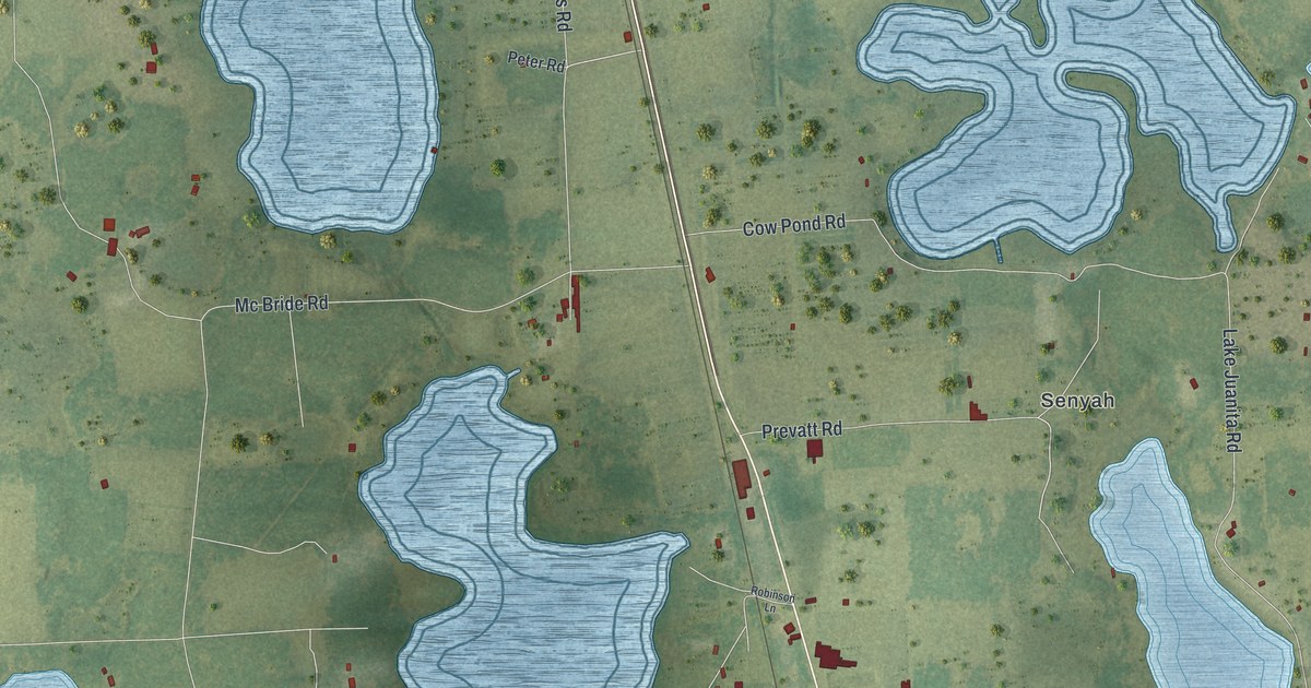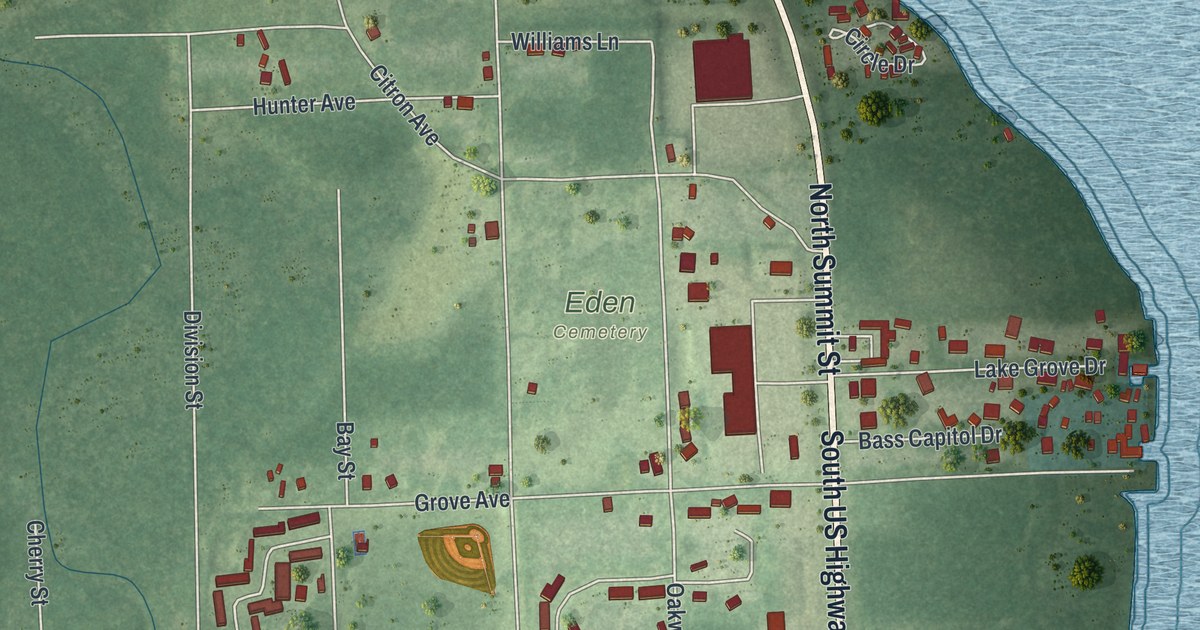
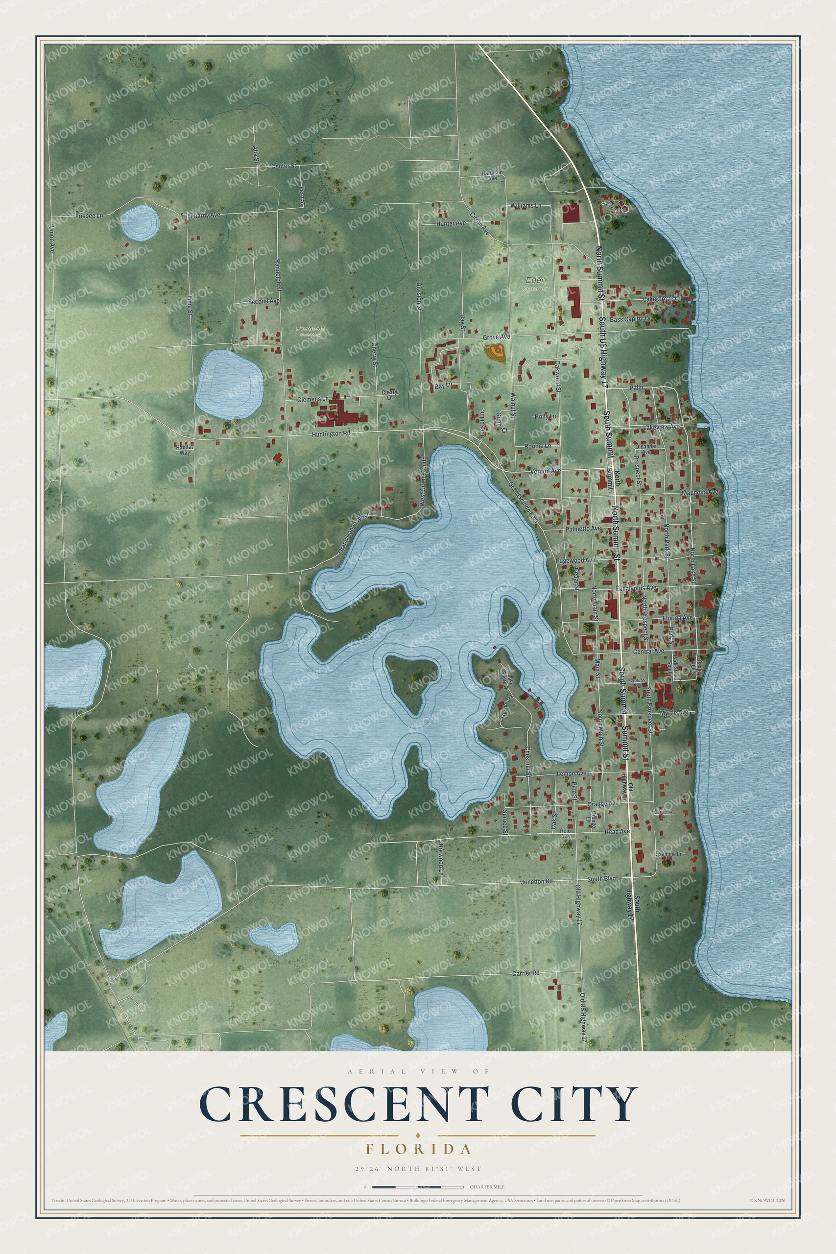
This beautifully detailed map of Crescent City, Florida was created in 2026 using aerial imagery combined with modern topographical, census, street and landmark data. It’s a one-of-a-kind view of Crescent City that combines accurate data with a vintage aesthetic. The map shows every building in its true location, many of the roads carry their names, and the shaded topographic relief shows the shape of the land.
Explore an aerial view of Crescent City, Florida
On the map you’ll find Eden Cemetery, Evergreen Cemetery, South Summit, and Palm, along with South US Highway 17, Summit Street, North Summit Street, Vernon Avenue, North Lake Street, Prospect Street, Huntington Road, South Prospect Street, and more. If you look closely you can even find your house accurately drawn in its correct location. Zoom in on the preview to look for yours.
Did You Know?
A. Philip Randolph was born in Crescent City in 1889. He founded the Brotherhood of Sleeping Car Porters. He became a leading civil rights figure, above all in the 1950s and 1960s. The city named Randolph Street in his honor.
Take a closer look at the Crescent City map
Names on this map
These names are printed on this map.
Places: Eden Cemetery and Evergreen Cemetery.
Streets and roads: South US Highway 17, South Summit, Summit Street, North Summit Street, Vernon Avenue, Palm, North Lake Street, Prospect Street, Huntington Road, South Prospect Street, Grand Rondo East, Old Highway 17.
More street names, A to Z
Alta Street, Bass Capitol Drive, Bay Lane, Bay Street, Carrier Road, Cedar Street, Center Street, Central Avenue, Cherry Lane, Cherry Street, Chestnut Street, Circle Drive, Citron Avenue, Clemens Lane, Cypress Avenue, Division Street, Edgewood Avenue, Eucalyptus Avenue, Fern Street, Florida Avenue, Frisbee Lane, Gardenia Drive, Grand Rondo West, Grove Avenue, Gunby Court, Habitat Way, Harbison Avenue, Holly Lane, Hunter Avenue, Jasmine Lane, Junction Road, Lake Grove Drive, Lakeshore Drive, Lake Shore Drive, Lakeview Avenue, Lehardy Avenue, Lemon Avenue, Lime Street, Magnolia Avenue, Main Street, Myrtle Avenue, North Main Street, North Park Street, North Prospect Street, North Summit, Norwood Lane, Oak Street, Oakwood Street, Old US Highway 17, Oleander Avenue, Orange Avenue, Orange Lane, Palmetto Avenue, Park Street, Park Street South, Pine Street, Randolph Street, Read Avenue, Reid Avenue, Rocket Lane, Ronnie Lane, Second Avenue, South Boulevard, South Highway 17, South Lake Street, South Main Street, Spruce Street, Union Avenue, Walnut Street, West Grand Rondo, Williams Lane.
See it on a wall
The Crescent City map as a framed print. Swipe for more.


This beautifully detailed map of Crescent City makes an attractive addition to your office, library, or den, and it can even be used to teach children the geography and history of the area. It also makes a great gift for anyone who grew up in Crescent City or moved away. When you’re done exploring, click here to get your copy of the Crescent City map.