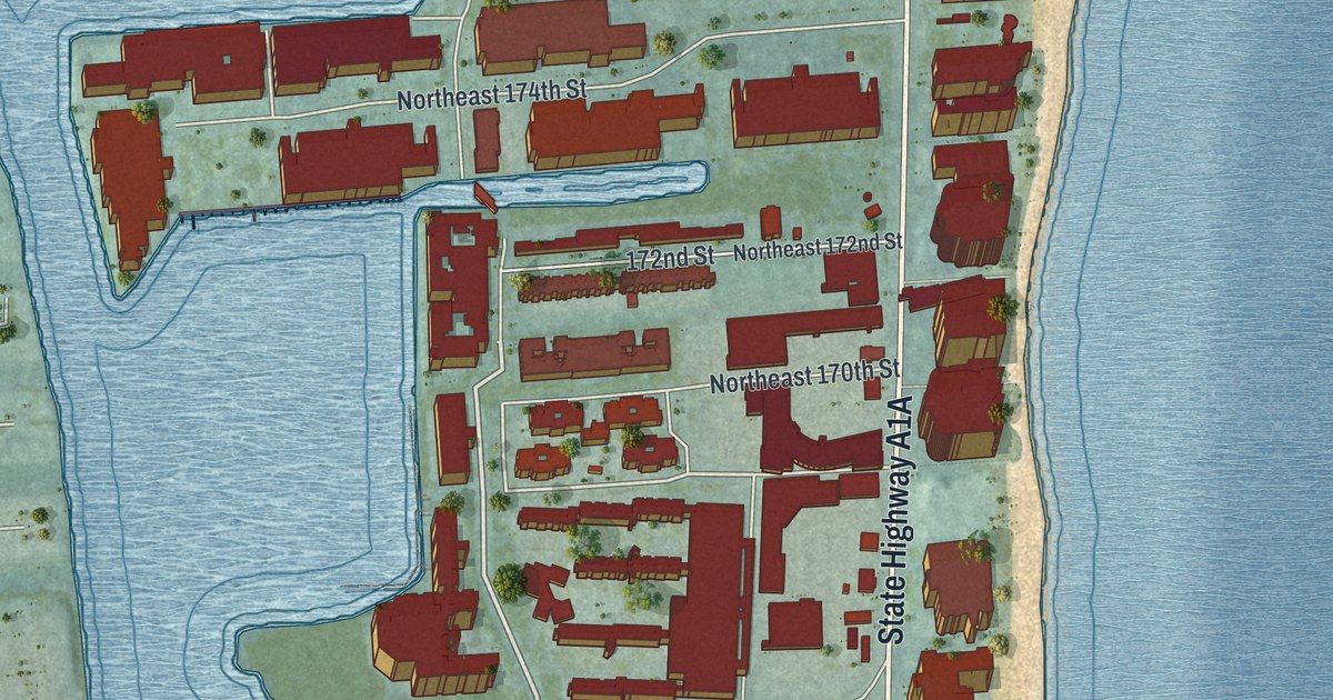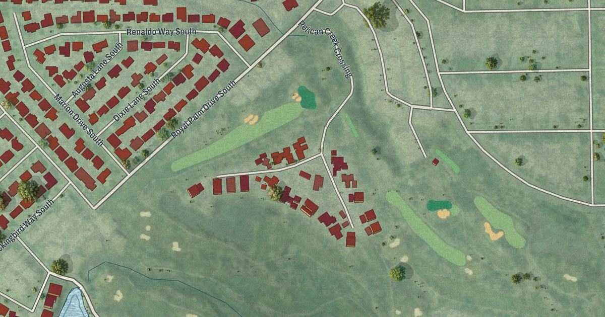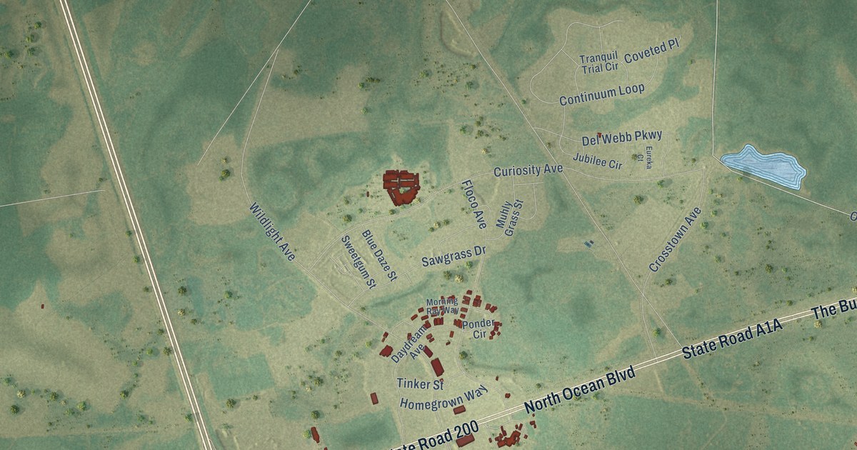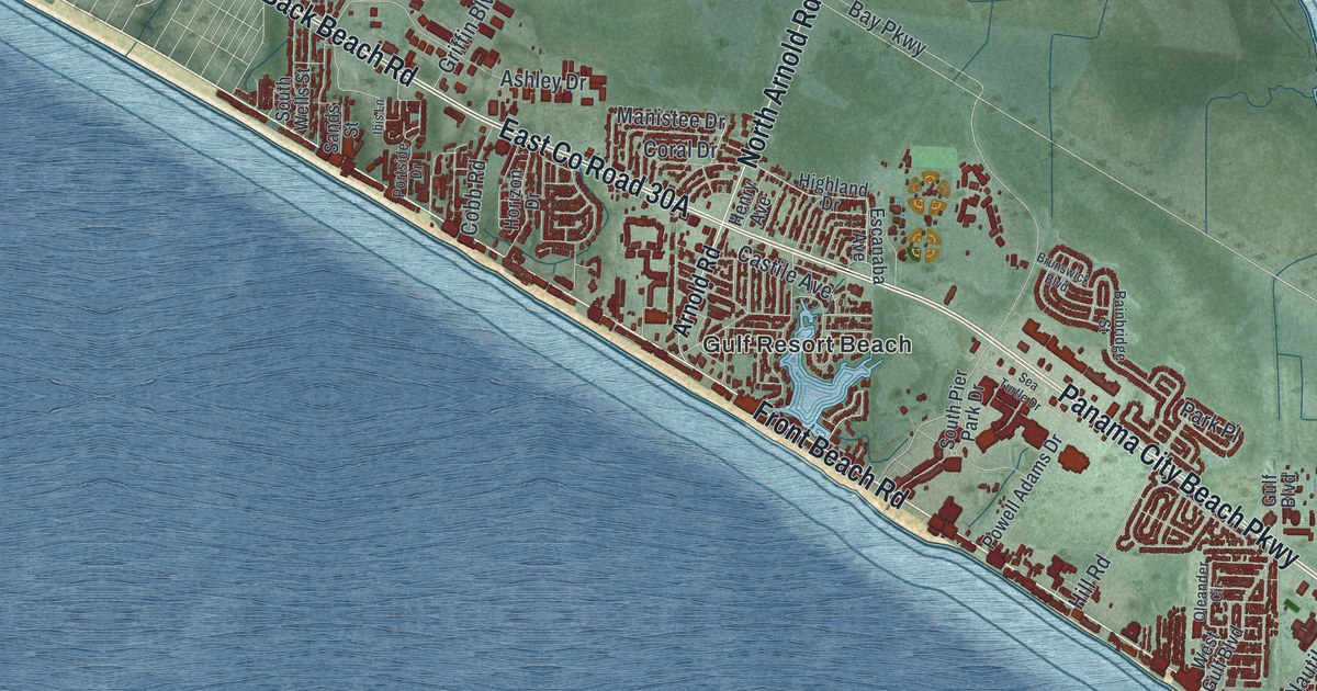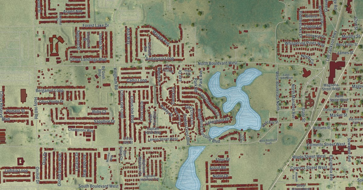
This beautifully detailed map of Davenport, Florida was created in 2026 using aerial imagery combined with modern topographical, census, street and landmark data. It’s a one-of-a-kind view of Davenport that combines accurate data with a vintage aesthetic. The map shows every building in its true location, many of the roads carry their names, and the shaded topographic relief shows the shape of the land.
Explore an aerial view of Davenport, Florida
On the map you’ll find North 17th Street, Lee Jackson Highway, State Street, North Boulevard, North Boulevard West, Forest Avenue, Magnolia Street, North Boulevard East, West Boulevard North, Murphy Street, Palm Street East, Mystery House Road, and more. If you look closely you can even find your house accurately drawn in its correct location. Zoom in on the preview to look for yours.
Did You Know?
In 1838, during the Second Seminole War, the Army built Fort Davenport about 12 miles north of today’s city. It honored Colonel William Davenport, the local commander. The modern town grew up in the 1880s beside the South Florida Railroad. Its post office, first called Horse Creek, took the name Davenport in 1886.
Take a closer look at the Davenport map

Names on this map
These names are printed on this map.
Streets and roads: North 17th Street, Lee Jackson Highway, State Street, North Boulevard, North Boulevard West, Forest Avenue, Magnolia Street, North Boulevard East, West Boulevard North, Murphy Street, Palm Street East, Mystery House Road.
More street names, A to Z
42nd Street, Aerides Way, Alta Vista Way, Andalusia Loop, Aria Way, Aspen Avenue, Astrid Road, Avenal Lane, Bargain Barn Road, Bass Catcher Drive, Bauer Bert Drive, Bay Street East, Begonia Lane, Bergamot Loop, Berry Lane, Bridgeford Crossing Boulevard, Buckeye Road, By Gosh Boulevard, Cadiz Loop, Canna Lane, Canyon Oak Drive, Captain Hook Way, Center Crest Boulevard, Champions Way, Chestnut Drive, Chickasaw Boulevard, Chinoy Road, Chipola Avenue, Citrus Isle Boulevard, Citrus Isle Drive, Citrus Isle Loop, Citrus Isle Street, Citrus Landings Boulevard, Citrus Pointe Drive, Citrus Reserve Boulevard, Condor Drive, Congaree Street, Cool Summer Lane, Cypress Street East, Cypress Street West, Davenport Boulevard, Denali Street, Disa Drive, Earhart Drive, East Boulevard South, East Fuller Street, East Palm Street, Escambia Avenue, Fiddlesticks Drive, Fiddlewood Court, Finney Road, Fleur Drive, Forest Lake Drive, Friendly Confines Loop, Gina Lane, Golf Crest Lane, Gotts Road, Granada Avenue, Grant Circle, Greenbay Avenue, Greenshack Drive, Highland Meadows Avenue, Highland Meadows Court, Highland Meadows Drive, Highland Meadows Street, Holly Hill Road, Horse Creek Lane, Horseshoe Creek Road, Huckleberry Road, Ironwood Drive, James Street, Jett Lane, Kingfisher Drive, Kingham Road, Kissimmee Avenue, Lago Vista Court, Lake Davenport Circle, Lakeshore Drive, Lake Side Boulevard, Lee Drive, Lemon Street East, Lemon Street West, Lindbergh Way, Ludisia Loop, Lycaste Drive, Magnolia Avenue, Magnolia Street West, Malaga Avenue, Manatee Avenue, Maple Street East, Maple Street West, Market Street, Matterhorn Trail, Merlin Street, Merrimack Boulevard, Merrimack Drive, Merrimack Parkway, Merrimack Place, Miami Avenue, Monika Way, Mountain Flower Lane, Mystery Circle, Neal Road, Nighthawk Drive, Noble Drive, North Circle, North Manatee Avenue, North Patterson Road, North Tenth Street, Oakwood Lane, Olsen Road, Orange Street West, Orchid Drive, Orchid Grove Boulevard, Page Road, Palm Crest Lane, Palmetto Street, Palmetto Street East, Palmetto Street West, Palm Street West, Pansy Street, Park Avenue, Park Road, Patterson Road, Pentas Lane, Persian Drive, Peter Pan Boulevard, Pheasant Drive, Pine Street East, Pink Apartment Road, Pomelo Street, Power Line Road, Redding Street, Ruby Court, Saguaro Street, Sanderling Street, Sandestin Drive, Sandy Creek Lane, San Pablo Circle, Sapphire Drive, Savannah Preserve Loop, Silver Brk Way, Silver Maple Bend, Sky Crst Lp, Snell Creek Road, Sofia Lane, South Boulevard, South Boulevard East, South Boulevard West, Sugarwood Street, Suwanee Avenue, Swallowtail Drive, Swan Swim Drive, Tanager Street, Theodore Street, Tiny Flower Road, Tisone Lane, Tree Shade Drive, West Bay Street, West Boulevard South, West Fuller Street, Whispering Pines Way, Wildcat Lane, Willet Street, Williams Street, Woodlark Drive.
See it on a wall
The Davenport map as a framed print. Swipe for more.


This beautifully detailed map of Davenport makes an attractive addition to your office, library, or den, and it can even be used to teach children the geography and history of the area. It also makes a great gift for anyone with Davenport roots. When you’re done exploring, click here to get your copy of the Davenport map.