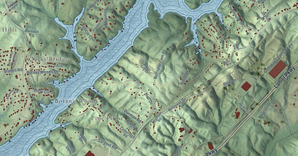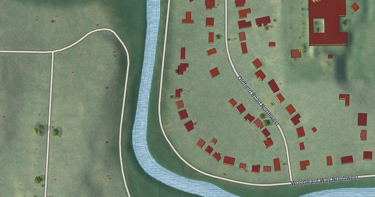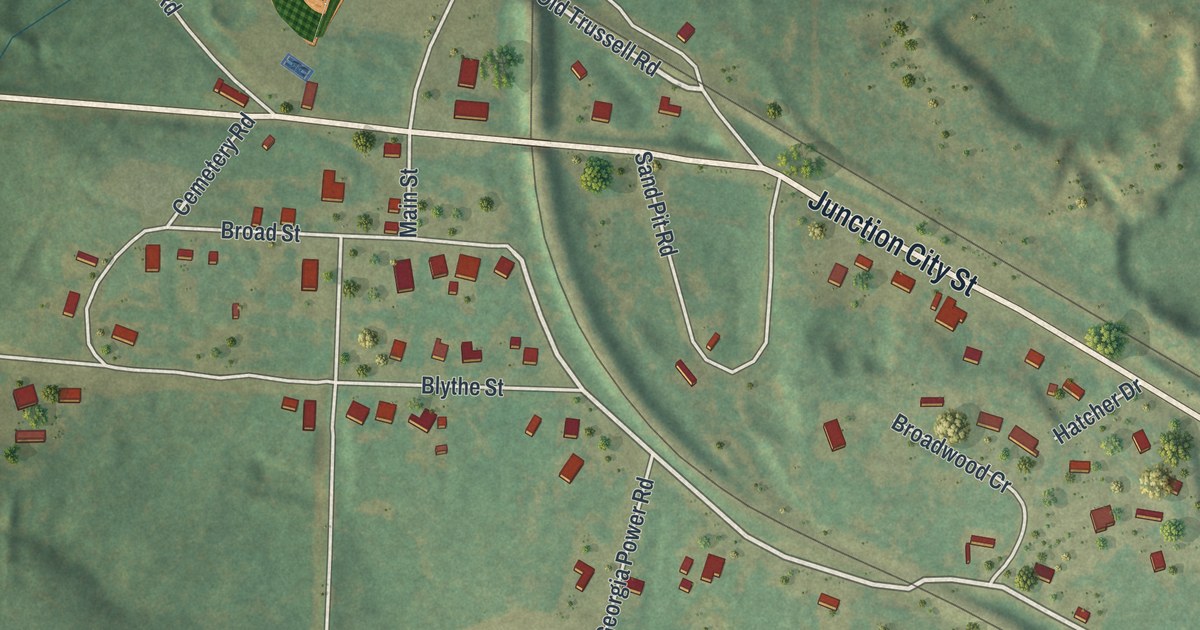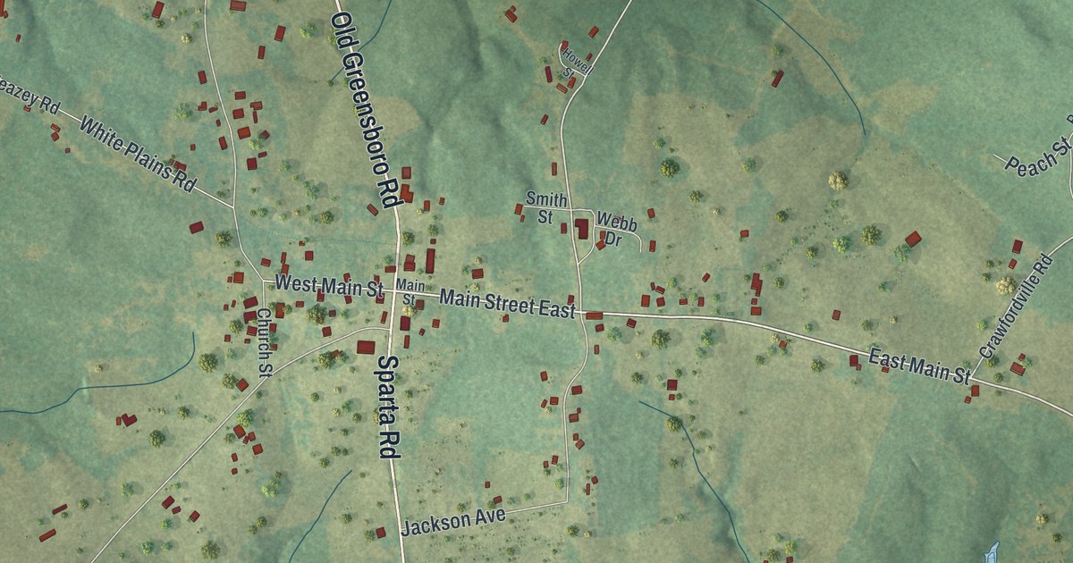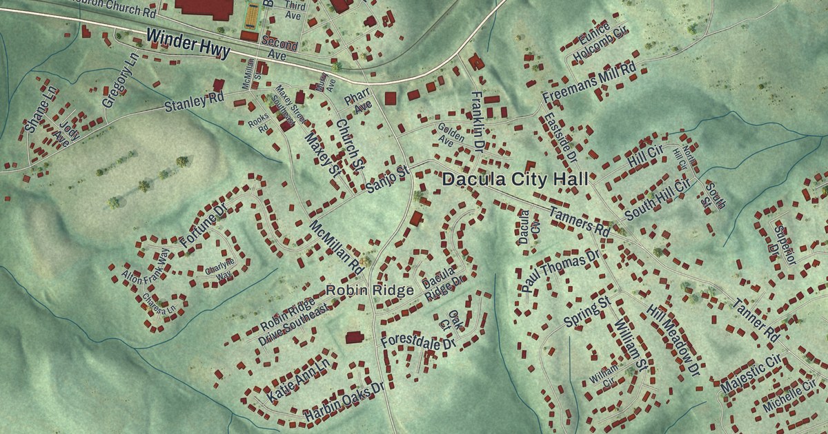
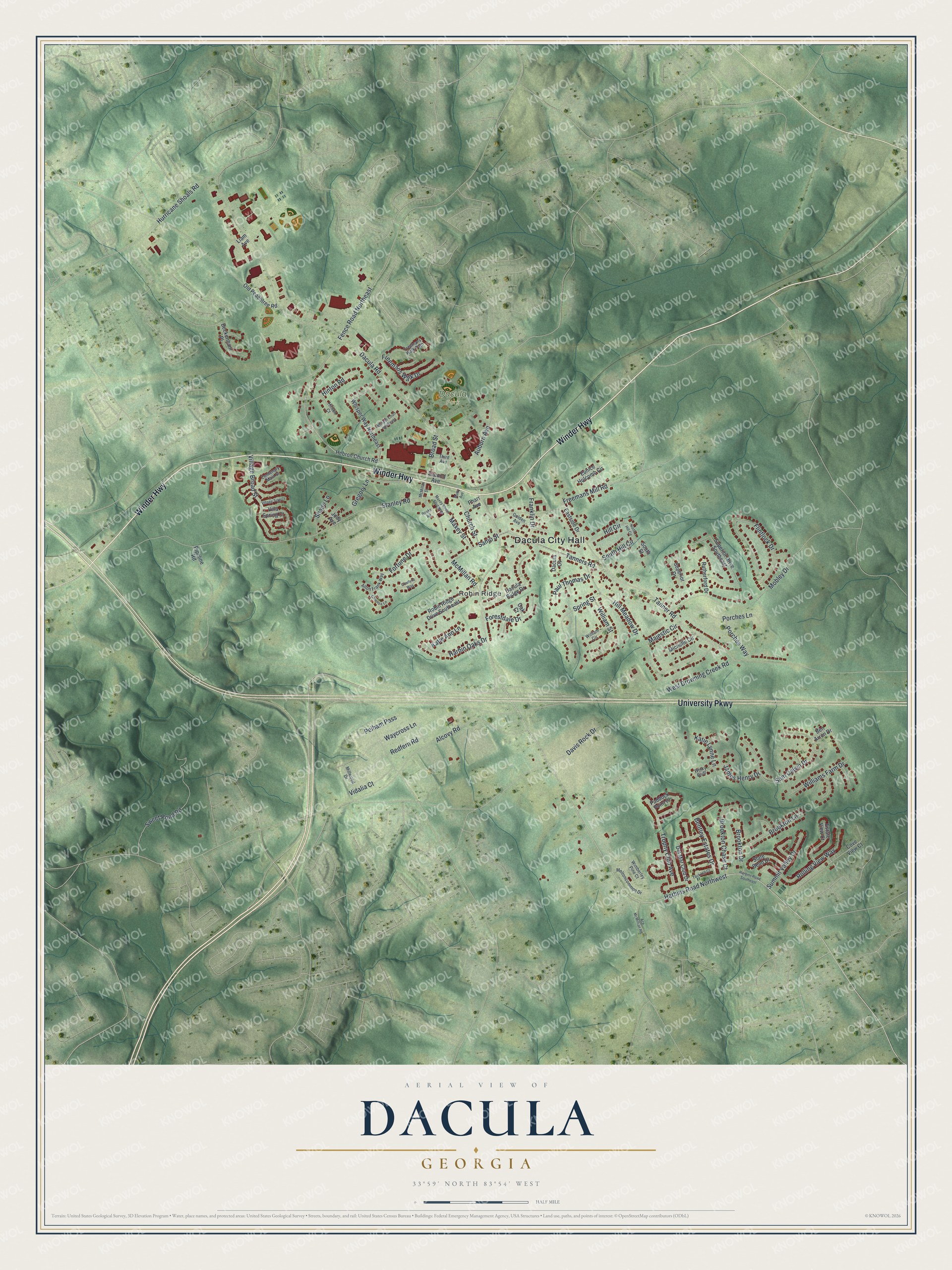
This beautifully detailed map of Dacula, Georgia was created in 2026 using aerial imagery combined with modern topographical, census, street and landmark data. It’s a one-of-a-kind view of Dacula that combines accurate data with a vintage aesthetic. The map shows every building in its true location, many of the roads carry their names, and the shaded topographic relief shows the shape of the land.
Explore an aerial view of Dacula, Georgia
On the map you’ll find Dacula City Hall and Robin Ridge, along with Winder Highway, University Parkway, Harbins Road, Dacula Road, and more. If you look closely you can even find your house accurately drawn in its correct location. Zoom in on the preview to look for yours.
Did You Know?
Dacula began in the late 1800s as Chinquapin Grove. Chinquapin is a Powhatan word for the dwarf chestnut tree, which chestnut blight later wiped out locally. In 1891 the town was renamed Hoke for a railroad executive. The Post Office Department objected, and by 1895 maps showed Dacula instead.
Take a closer look at the Dacula map
Names on this map
These names are printed on this map.
Places: Dacula City Hall, Robin Ridge and Dacula Park.
Streets and roads: Winder Highway, University Parkway, Harbins Road Northwest, Dacula Road, Stanley Road, Tanner Road, Tanners Road, Alcovy Road, Fence Road Northeast, West Drowning Creek Road, Flintlock Drive, Mobley Drive.
More street names, A to Z
Ace McMillian Road, Alton Frank Way, Auburn Avenue, Beckenham Place, Ben Arron Drive, Bentley Estates Drive, Broad Street, Brookton Chase Court, Brookton Drive, Brookton Lane, Centenary Main Street, Charesa Lane, Charlyne Way, Church Street, Cove View Court, Dacula Cv, Dacula Ridge Drive, Davis Rock Drive, Del Mar Club Drive, Eastside Drive, Estate View Court, Eunice Holcomb Circle, Forestdale Drive, Fortune Drive, Franklin Drive, Freemans Mill Road, Freemans Walk Drive, Freemans Walk Path, Golden Avenue, Gregory Lane, Harbin Oaks Drive, Harbins Road Southeast, Hebron Church Road, Hill Circle, Hill Meadow Drive, Hinton Court, Hinton Road, Hurricane Shoals Road, James Henry Drive, Jody Avenue, Katie Ann Lane, Katie Lynne Lane, Liam Avenue, Majestic Circle, Maxey Street, Maxey Street Southeast, McMillan Road, McMillan Street, Meltoncommon Drive, Michelle Circle, Millwood Drive, Murry Avenue, North Hill Circle, Oak Court, Old Peachtree Road, Paddock Point Place, Paul Thomas Drive, Pelham Pass, Pharr Avenue, Pipeline Road, Porches Lane, Porches Way, Redfern Road, Robin Ridge Drive Southeast, Rolling View Way, Rooks Road, Rutherford Drive, Sam Calvin Drive, Sanjo Street, Second Avenue, Shane Lane, Slate Bend Drive, South Hill Circle, South Street, Spring Street, Summit Valley Drive, Superior Drive, Superior Drive Southeast, Sweet Pond Road, Tack Hill Court, Third Avenue, Trophy Club Avenue, Vidalia Court, Village Broad Street, Village Trail Court, Villa Spring Court, Waycross Lane, Whisper Court Northeast, Whisper Way Northeast, William Circle, Williams Farm Drive, William Street, Wimberley Pine Court, Winky Bluff.
See it on a wall
The Dacula map as a framed print. Swipe for more.


This beautifully detailed map of Dacula makes an attractive addition to your office, library, or den, and it can even be used to teach children the geography and history of the area. It also makes a great gift for anyone with Dacula roots. When you’re done exploring, click here to get your copy of the Dacula map.