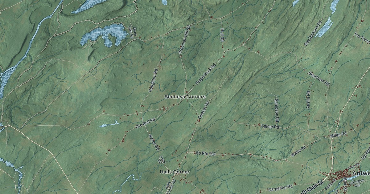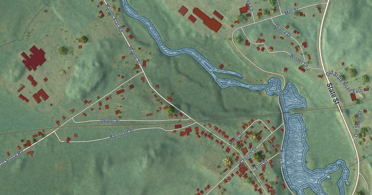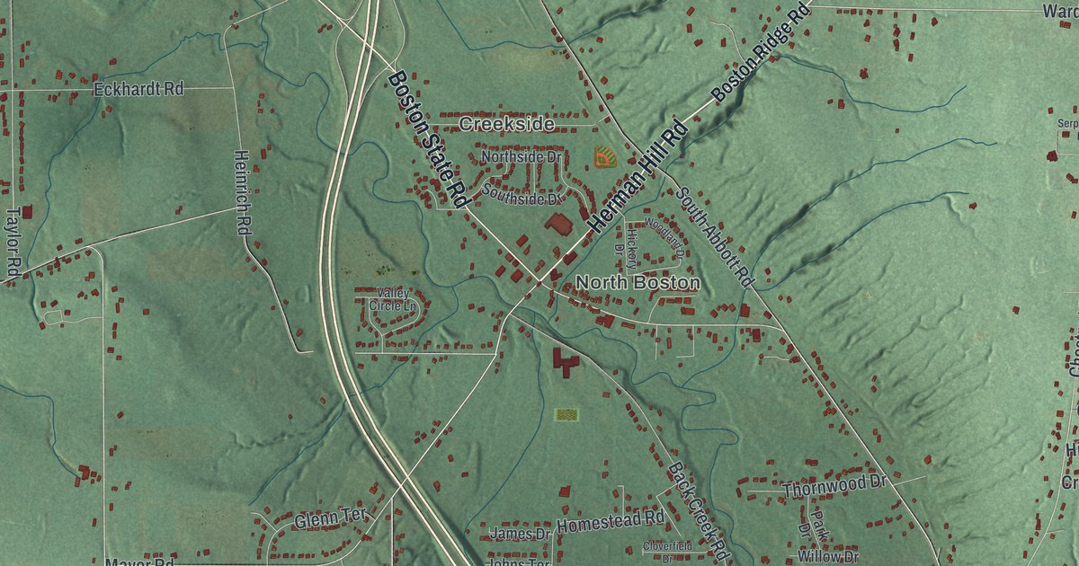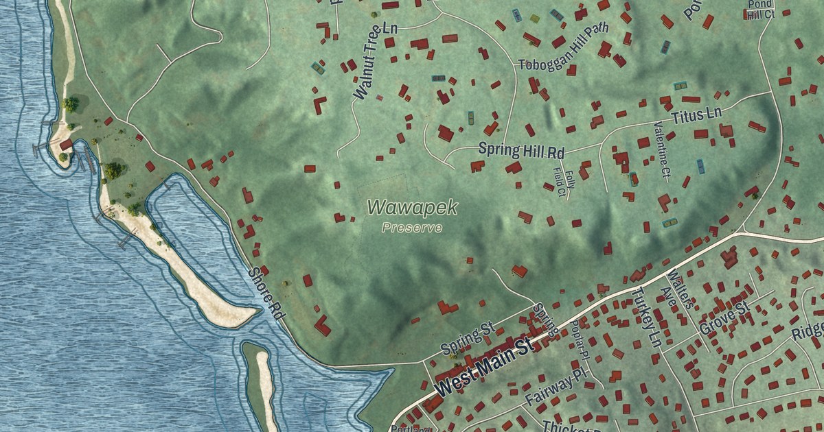
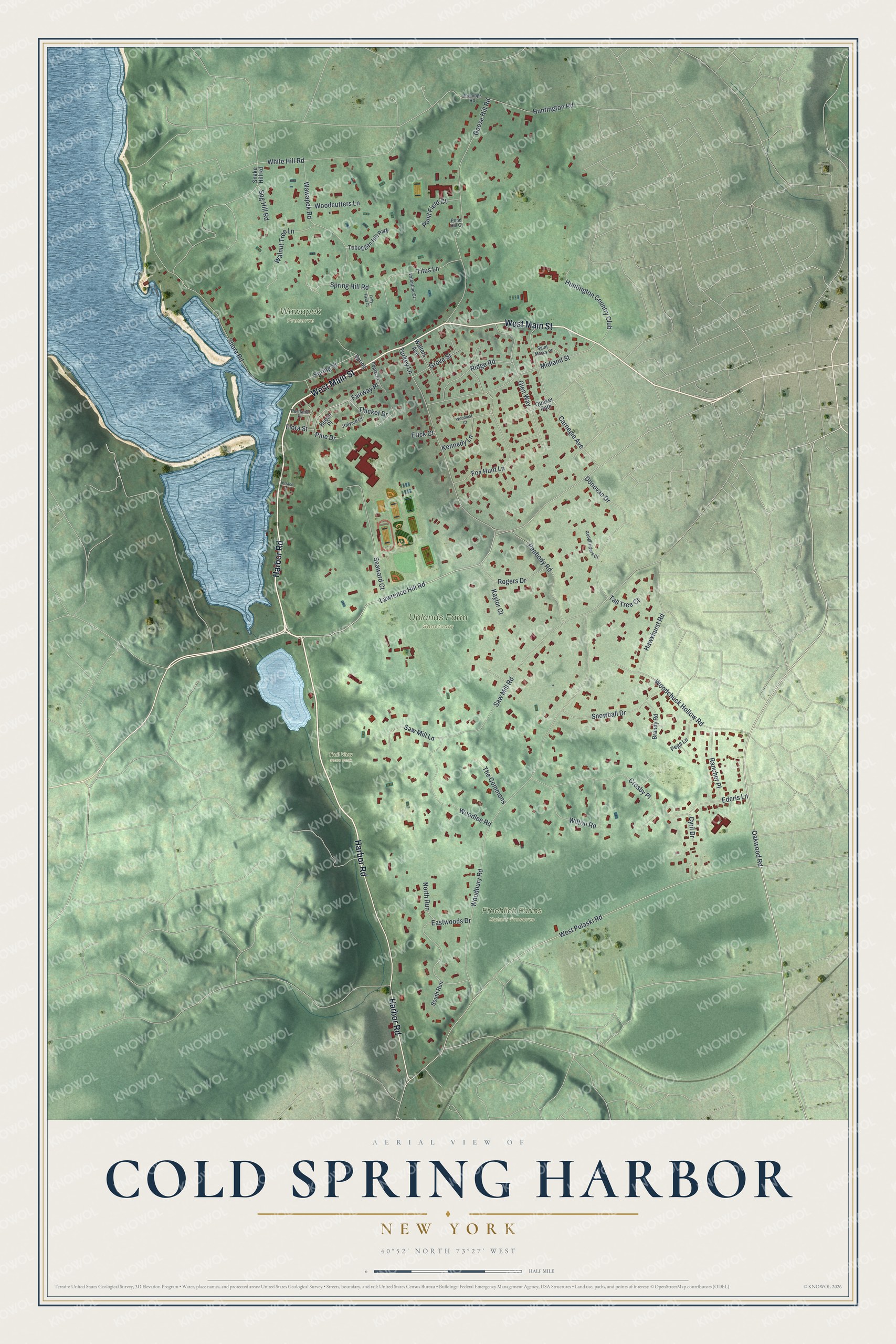
This beautifully detailed map of Cold Spring Harbor, New York was created in 2026 using aerial imagery combined with modern topographical, census, street and landmark data. It’s a one-of-a-kind view of Cold Spring Harbor that combines accurate data with a vintage aesthetic. The map shows every building in its true location, many of the roads carry their names, and the shaded topographic relief shows the shape of the land.
Explore an aerial view of Cold Spring Harbor, New York
On the map you’ll find Froehlich Farms Nature Preserve, Trail View State Park, Uplands Farm Sanctuary, and Wawapek Preserve, along with Harbor Road, Main Street, Lawrence Hill Road, Oakwood Road, Woodbury Road, and more. If you look closely you can even find your house accurately drawn in its correct location. Zoom in on the preview to look for yours.
Did You Know?
In the middle 1800s, Cold Spring Harbor was a whaling port. Sailors spoke so many languages on its main street that people called it Bedlam Street. A nearby settlement called Bungtown made barrels for whale oil. Sailors carried strange and exotic objects into the local taprooms. That’s from the 1940 WPA guide to New York.
Take a closer look at the Cold Spring Harbor map
Names on this map
These names are printed on this map.
Places: Froehlich Farms Nature Preserve, Trail View State Park, Uplands Farm Sanctuary and Wawapek Preserve.
Streets and roads: Harbor Road, West Main Street, Lawrence Hill Road, Oakwood Road, Woodbury Road, West Pulaski Road, Saw Mill Road, Goose Hill Road, Turkey Lane, Shore Road, Wilton Road, Midland Street.
More street names, A to Z
Beech Place, Brandy Road, Carnegie Avenue, Crosby Place, Cyril Drive, Donovan Drive, Eastwoods Drive, Edcris Lane, Erick Court, Fairway Place, Flora Street, Folly Field Court, Fox Hunt Lane, Glen Way, Grove Street, Halyard Court, Hawxhurst Road, Huntington Country Club, Huntington Road, Jennings Road, Kaylor Court, Kennedy Lane, North Run, Peabody Road, Pegs Lane, Pine Drive, Pond Field Court, Pond Hill Court, Poplar Place, Portland Place, Quaker Path, Rancher Place, Ridge Road, Rogers Drive, Roughriders Court, Saint Marks Place, Saw Mill Lane, Seaward Court, Snake Hill Road, Snowball Drive, South Run, Spg Hill Road, Spring, Spring Hill Road, Spring Street, Tall Tree Court, Terrace Place, The Commons, Thicket Drive, Titus Lane, Toboggan Hill Path, Valentine Court, Walnut Tree Lane, Walters Avenue, Wawapek Road, White Hill Road, Woodchuck Hollow Road, Woodcutters Lane, Woodleaf Court, Woodlee Road.
See it on a wall
The Cold Spring Harbor map as a framed print. Swipe for more.


This beautifully detailed map of Cold Spring Harbor makes an attractive addition to your office, library, or den, and it can even be used to teach children the geography and history of the area. It also makes a great gift for anyone who grew up in Cold Spring Harbor or moved away. When you’re done exploring, click here to get your copy of the Cold Spring Harbor map.