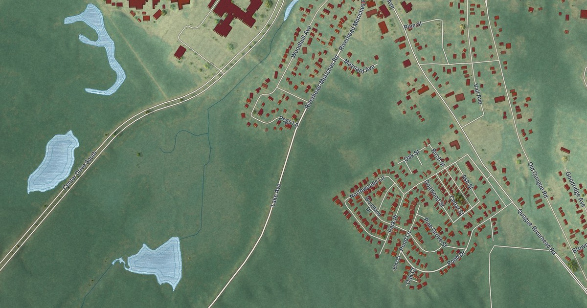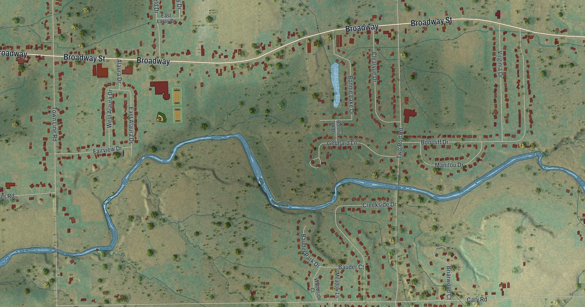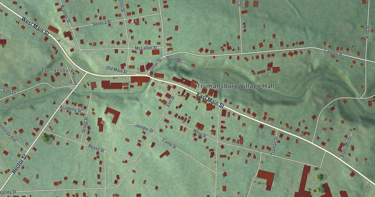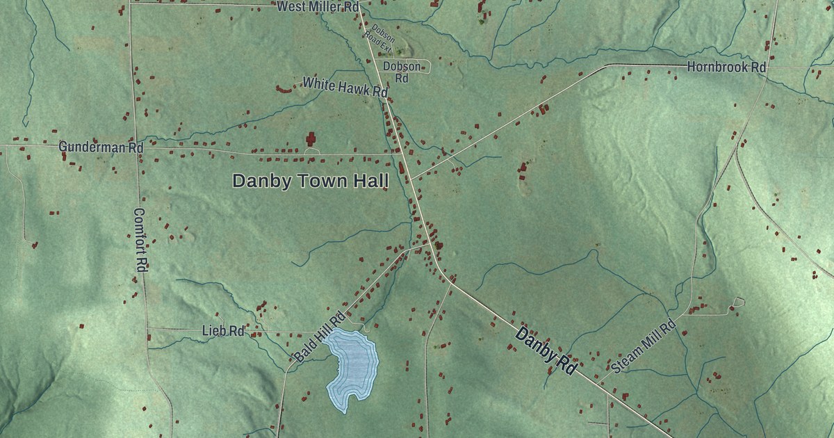
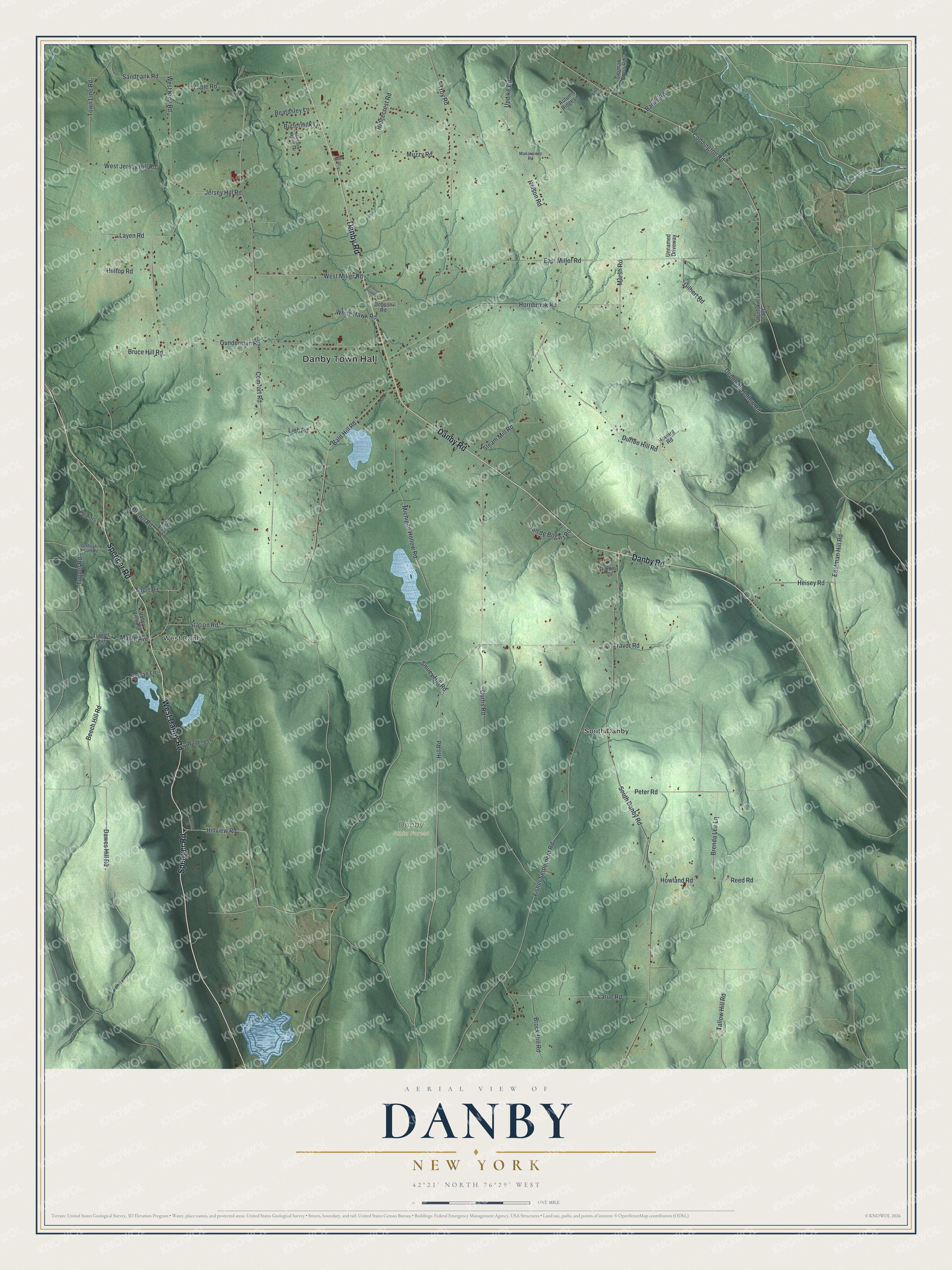
This beautifully detailed map of Danby, New York was created in 2026 using aerial imagery combined with modern topographical, census, street and landmark data. It’s a one-of-a-kind view of Danby that combines accurate data with a vintage aesthetic. The map shows every building in its true location, many of the roads carry their names, and the shaded topographic relief shows the shape of the land.
Explore an aerial view of Danby, New York
On the map you’ll find Danby Town Hall, West Danby, and South Danby, along with Danby Road, Spencer Road, Tallow Hill Road, Hill Road, and more. If you look closely you can even find your house accurately drawn in its correct location. Zoom in on the preview to look for yours.
Did You Know?
Danby’s first settlers of European descent arrived in 1795. Among them were Isaac and John Dumond, plus Jacob and Joseph Yaple. The town was created from Spencer in 1811. That same year a turnpike from Ithaca to Owego was finished through town, linking Cayuga Lake with the Susquehanna River.
Take a closer look at the Danby map
Names on this map
These names are printed on this map.
Places: Danby Town Hall, West Danby, Danby State Forest and South Danby.
Streets and roads: Danby Road, Spencer Road, West Danby Road, Tallow Hill Road, Hill Road, Jersey Hill Road, Deputron Hollow Road, Nelson Road, Eastman Hill Road, Comfort Road, Bald Hill Road, Michigan Hollow Road.
More street names, A to Z
Amy Lane, Autumn Ridge Lane, Banks Road, Beardsley Lane, Beech Hill Road, Brenda Lee Lane, Brock Hill Road, Brown Road, Bruce Hill Road, Buttermilk Lane, Coddington Road, Coltsfoot Lane, Curtis Road, Dawes Hill Road, Della Street, Dobson Road, Dobson Road Extension, Durfee Hill Road, East Miller Road, Fisher Settlement Road, German Cross Road, Gilbert Road, Gunderman Road, Heisey Road, Hilltop Road, Hillview Road, Hornbrook Road, Howard Road, Howland Road, Larue Road, Layen Road, Lieb Road, Makarainen Road, Maple Avenue, Marsh Road, Meadow Wood Terrace, Muzzy Road, Olsefski Road, Patchen Court, Peter Road, Reed Road, Ridgecrest Road, Sandbank Road, Short Road, Slators Lane, Smiley Hill Road, South Danby Road, Station Road, Steam Mill Road, Sylvan Lane, Tammy Drive, Town Line Road, Travor Road, Troy Road, Tupper Avenue, Tupper Road, Unnamed Driveway, Updike Road, Valley View Road, Vanbuskirk Gulf Road, Van de Bogart Road, Walding Lane, West Jersey Hill Road, West King Road, West Miller Road, White Hawk Road, Yaple Road.
See it on a wall
The Danby map as a framed print. Swipe for more.


This beautifully detailed map of Danby makes an attractive addition to your office, library, or den, and it can even be used to teach children the geography and history of the area. It also makes a great gift for anyone with Danby roots. When you’re done exploring, click here to get your copy of the Danby map.