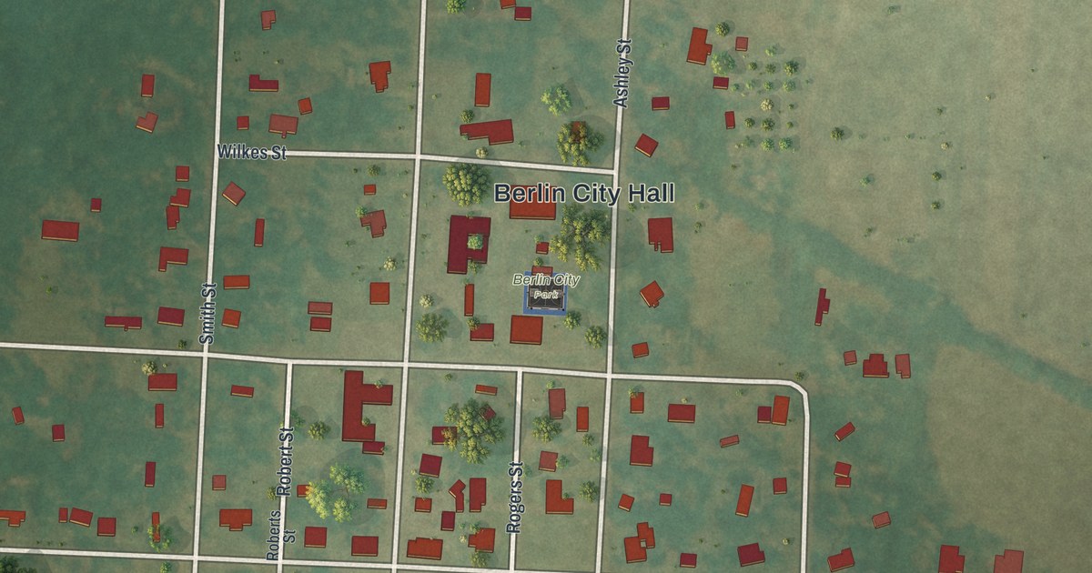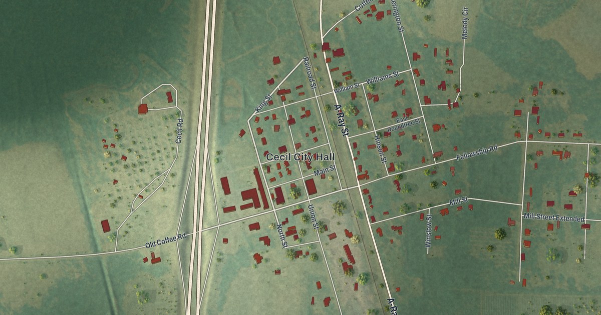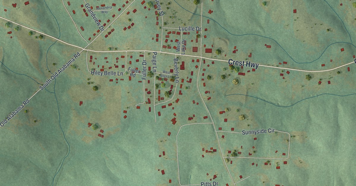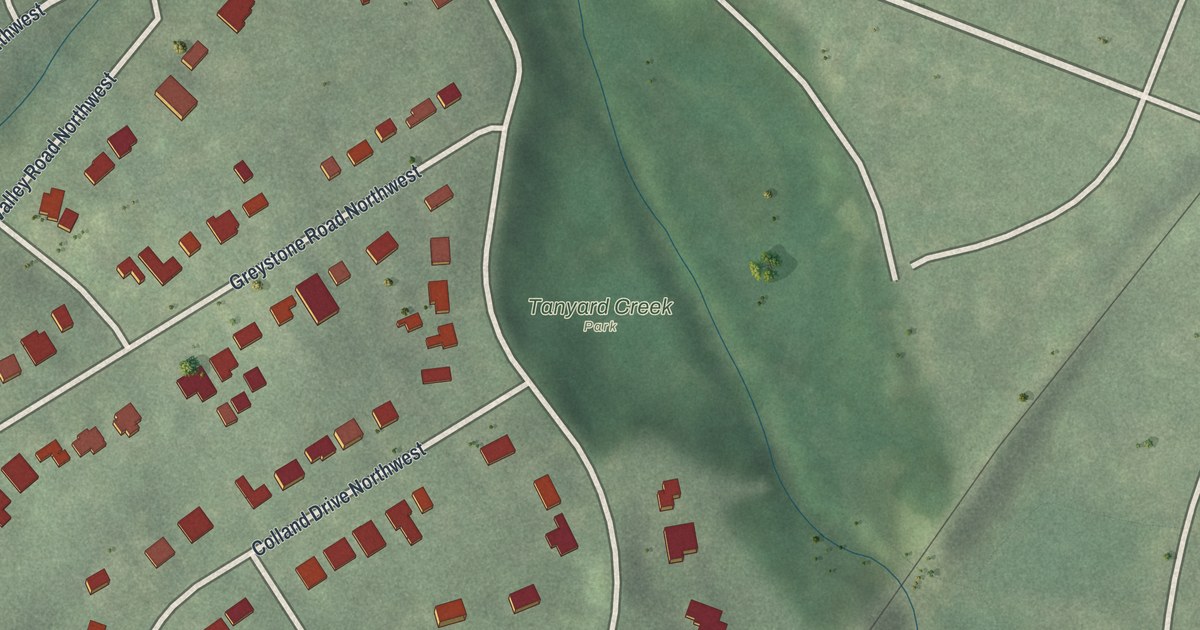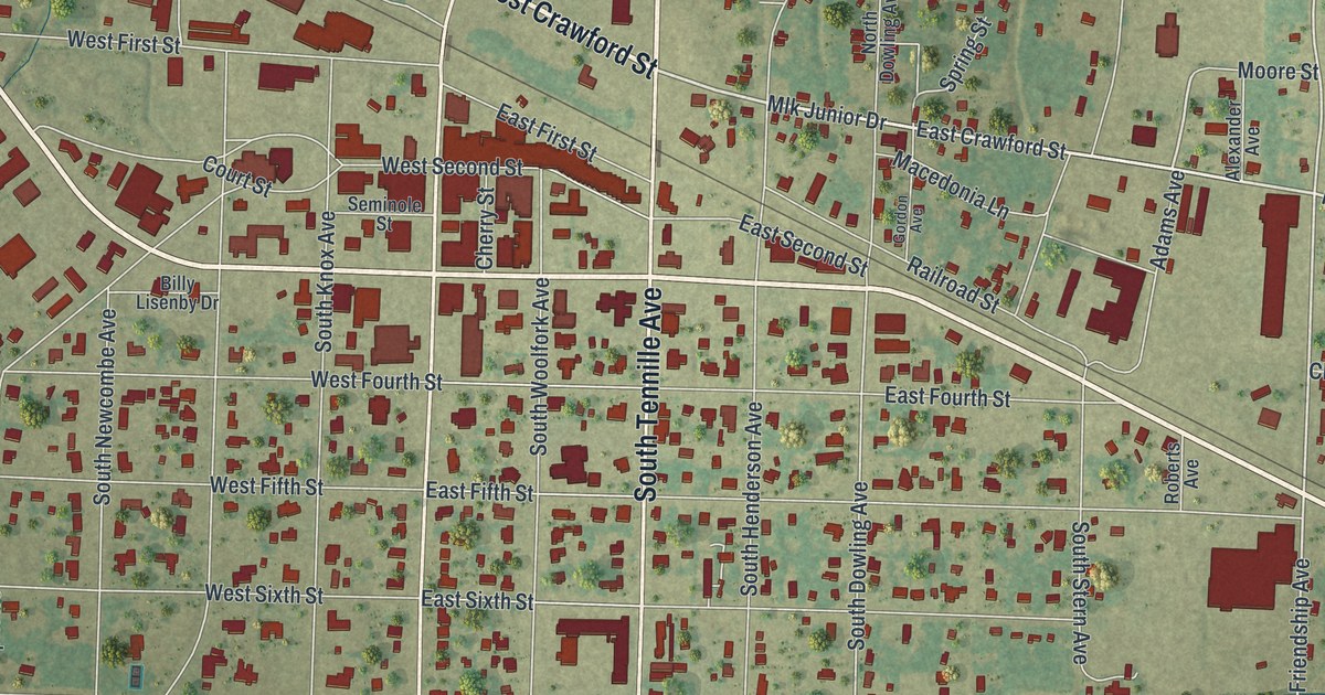
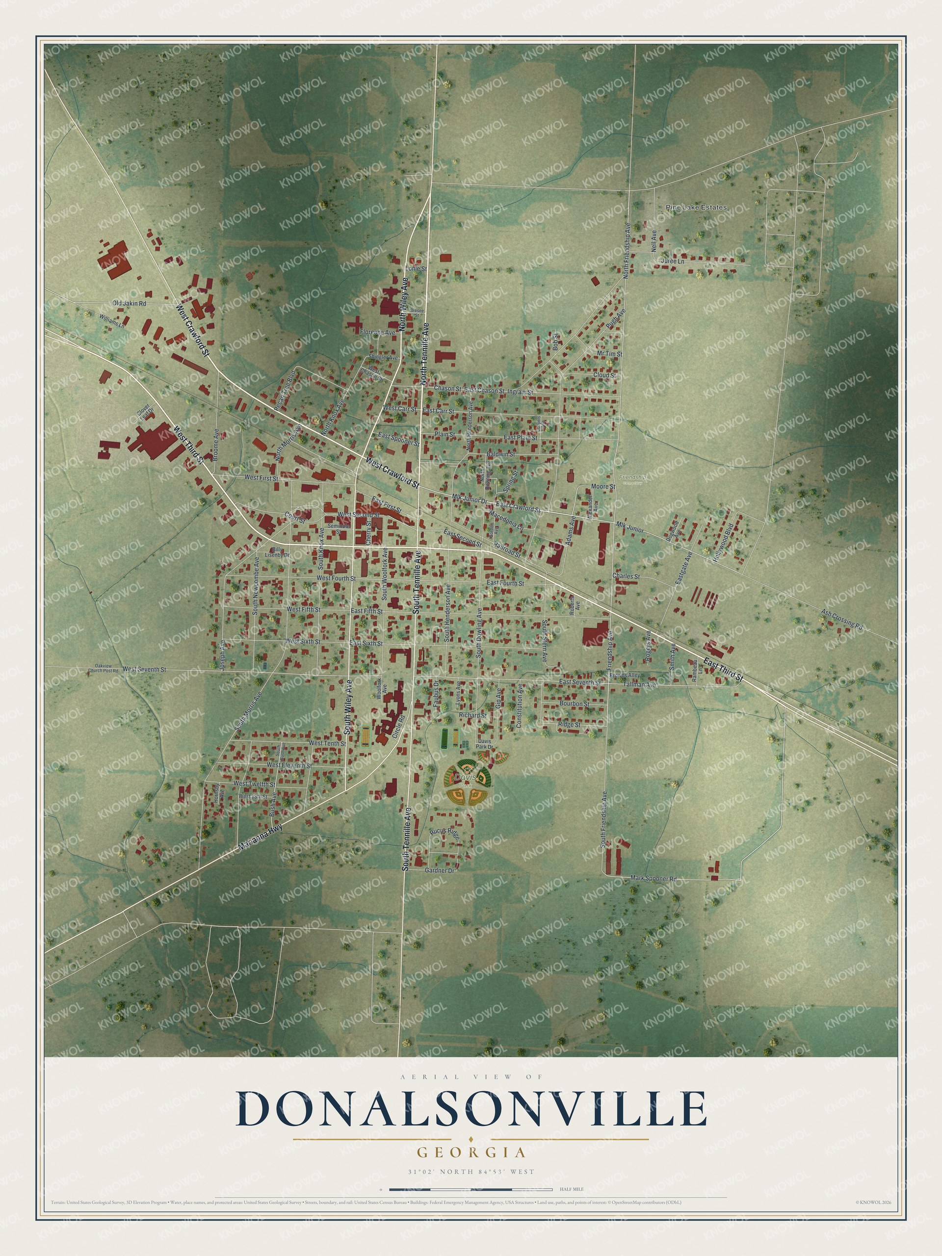
This beautifully detailed map of Donalsonville, Georgia was created in 2026 using aerial imagery combined with modern topographical, census, street and landmark data. It’s a one-of-a-kind view of Donalsonville that combines accurate data with a vintage aesthetic. The map shows every building in its true location, many of the roads carry their names, and the shaded topographic relief shows the shape of the land.
Explore an aerial view of Donalsonville, Georgia
On the map you’ll find Davis Park and Friendship Cemetery, along with Third Street, Crawford Street, Tennille Avenue, Wiley Avenue, Marianna Highway, and more. If you look closely you can even find your house accurately drawn in its correct location. Zoom in on the preview to look for yours.
Did You Know?
Donalsonville honors John Ernest Donalson, a leading local businessman. He opened the first lumber mill there, the Donalson Lumber Company. He also put up homes and a company store for the mill hands. That mill set the town on its path to growth.
Take a closer look at the Donalsonville map
Names on this map
These names are printed on this map.
Places: Pine Lake Estates, Davis Park and Friendship Cemetery.
Streets and roads: West Third Street, East Third Street, West Crawford Street, North Tennille Avenue, North Wiley Avenue, South Tennille Avenue, South Wiley Avenue, Marianna Highway, East Crawford Street, Mlk Junior Drive, Mlk Junior, Adams Avenue.
More street names, A to Z
Alexander Avenue, Ash Crossing Road, Baldwin Street, Billy Lisenby Drive, Bob Street, Bourbon Street, Bresee Street, Broome Avenue, Browns Alley, Bush Avenue, Charles Street, Chason Street, Cherry Street, Circle Road, Cloud Street, Clover Leaf Drive, Constitution Avenue, Conyers Avenue, Court Street, Davis Park Drive, Dogwood Avenue, East Carr Street, East Chason Street, East Fifth Street, East First Street, East Fourth Street, Eastgate Avenue, East Plain Street, East Second Street, East Seventh Street, East Sixth Street, East Spooner Street, Faubus Drive, Florence Avenue, Friendship Avenue, Gardner Drive, Gip Avenue, Gordon Avenue, Hollywood Boulevard, Hornsby Avenue, Ingram Street, Joseph Avenue, Juree Lane, Lonie Street, Lyons Avenue, Macedonia Lane, Mark Spooner Road, Moore Street, Mr Tim Street, Nell Avenue, North Dowling Avenue, North Friendship Avenue, North Henderson Avenue, North Knox Avenue, North Morris Avenue, Oakview Church Post Road, Old Jakin Road, Pecan Tree Boulevard, Plain Street, Pugh Avenue, Railroad Street, Rambeau Lane, Richard Street, Ridge Street, Roberts Avenue, Rogers Avenue, Rucus Ridge, Seminole Street, Shingler Avenue, Smith Avenue, South Bush Avenue, South Dowling Avenue, South Friendship Avenue, South Henderson Avenue, South Knox Avenue, South Morris Avenue, South Newcombe Avenue, South Stern Avenue, South Woolfork Avenue, Spring Street, Tallman Avenue, West 13th Street, West Carr Street, West Chason Street, West Eleventh Street, West Fifth Street, West First Street, West Fourth Street, West Second Street, West Seventh Street, West Sixth Street, West Tenth Street, West Twelfth Street, Williams Lane, Woolfork Avenue.
See it on a wall
The Donalsonville map as a framed print. Swipe for more.


This beautifully detailed map of Donalsonville makes an attractive addition to your office, library, or den, and it can even be used to teach children the geography and history of the area. It also makes a great gift for someone who left Donalsonville and still calls it home. When you’re done exploring, click here to get your copy of the Donalsonville map.