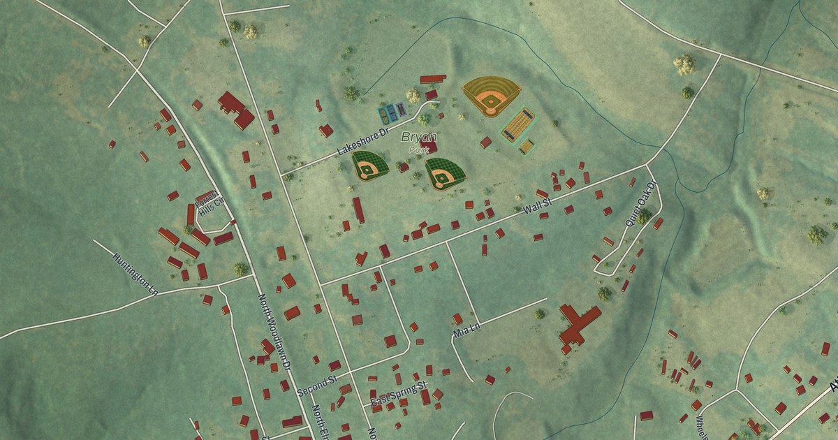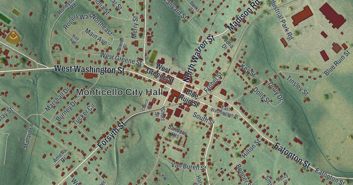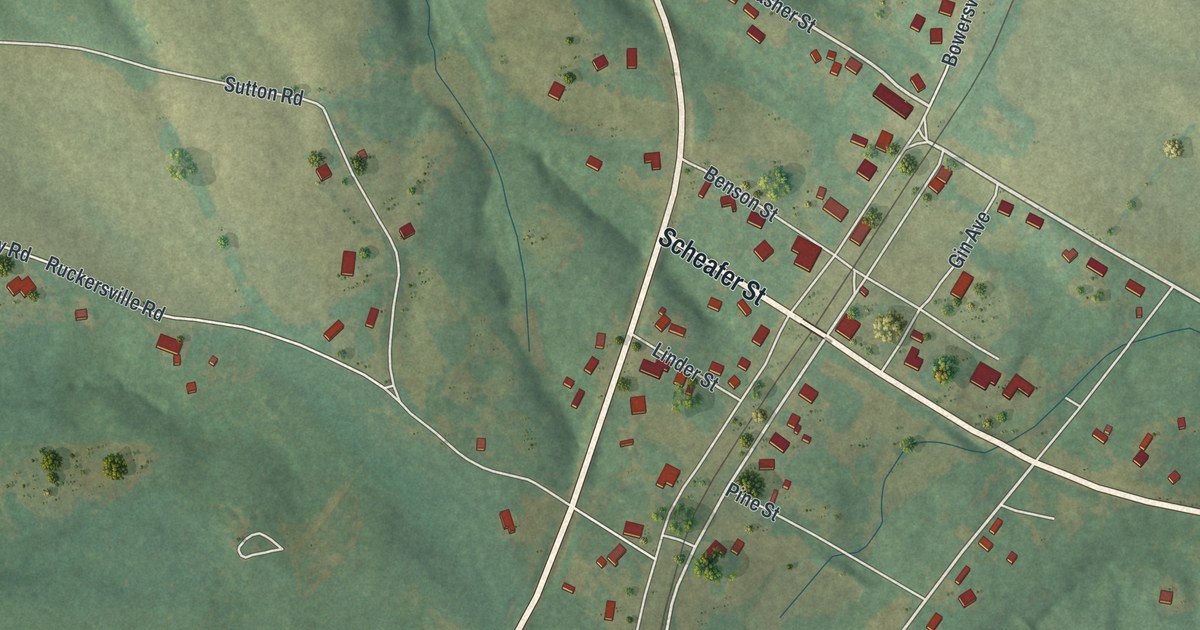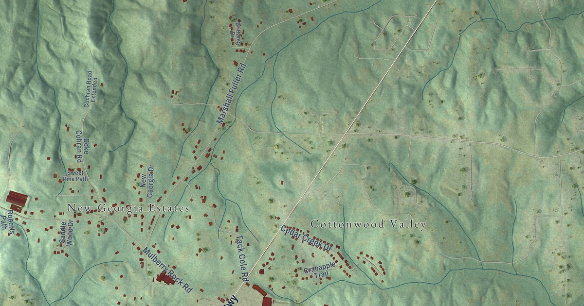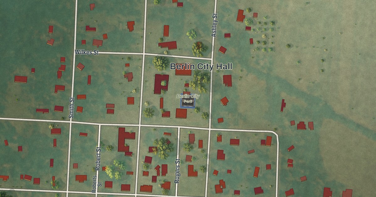
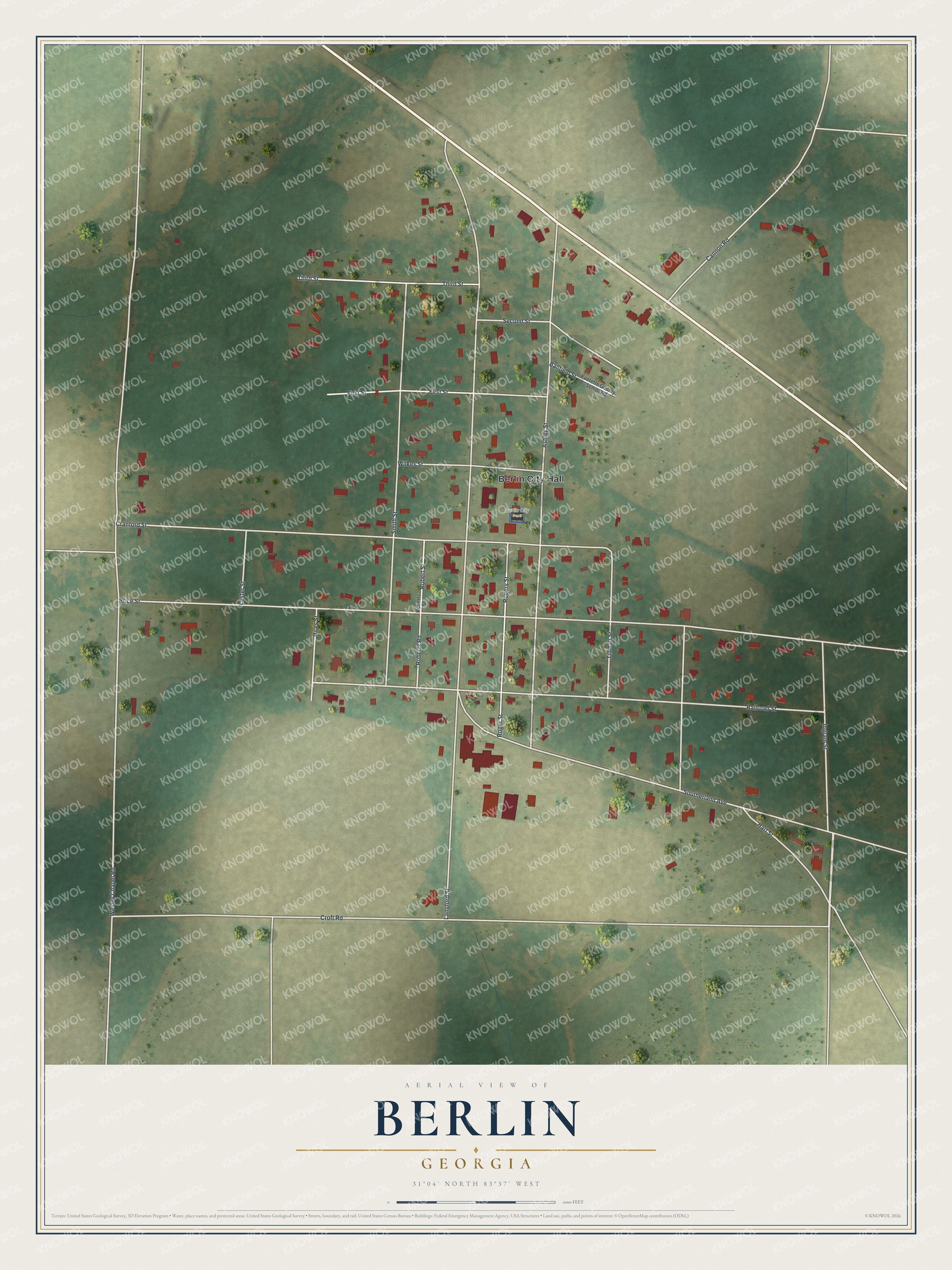
This beautifully detailed map of Berlin, Georgia was created in 2026 using aerial imagery combined with modern topographical, census, street and landmark data. It’s a one-of-a-kind view of Berlin that combines accurate data with a vintage aesthetic. The map shows every building in its true location, many of the roads carry their names, and the shaded topographic relief shows the shape of the land.
Explore an aerial view of Berlin, Georgia
On the map you’ll find Berlin City Hall and Berlin City Park, along with Ingram Street, Wesley Chapel Road, Langford Street, Croft Road, and more. If you look closely you can even find your house accurately drawn in its correct location. Zoom in on the preview to look for yours.
Did You Know?
The town took its name from Berlin in Germany. It incorporated in 1910, the same year its post office opened. When America entered World War I, anti-German feeling led residents to rename it Lens. The old name returned soon after.
Take a closer look at the Berlin map
Names on this map
These names are printed on this map.
Places: Berlin City Hall and Berlin City Park.
Streets and roads: Ingram Street, Wesley Chapel Road, Langford Street, Croft Road, Brice Street, Ashley Street, Cranford Street, Railroad Street, Southerland Avenue, Smith Street, First Street, Roger Street.
More street names, A to Z
Ballfield Street, Cannon Road, Hart Street, Hires Street, Lester Street, Roberts Road, Roberts Street, Robert Street, Rogers Street, Second Street, Third Street, Tillman Street, Wilkes Street.
See it on a wall
The Berlin map as a framed print. Swipe for more.


This beautifully detailed map of Berlin makes an attractive addition to your office, library, or den, and it can even be used to teach children the geography and history of the area. It also makes a great gift for anyone who grew up in Berlin or moved away. When you’re done exploring, click here to get your copy of the Berlin map.