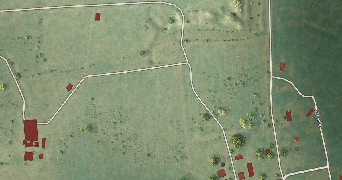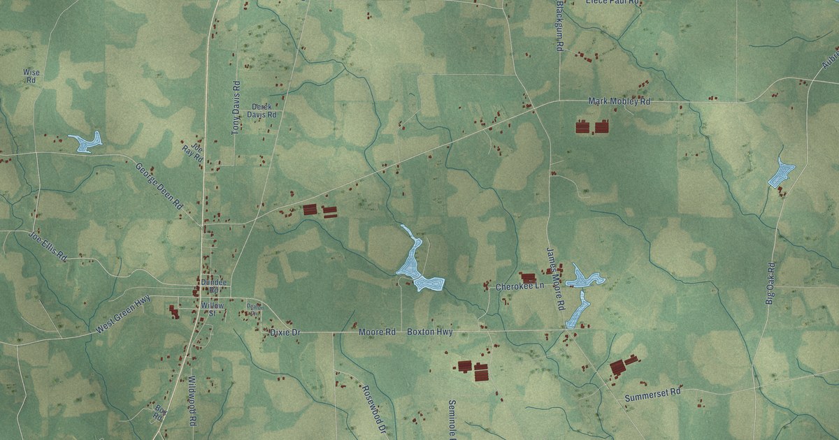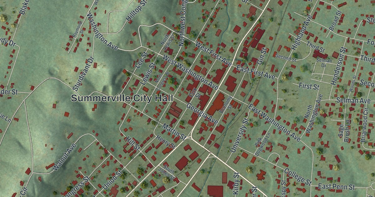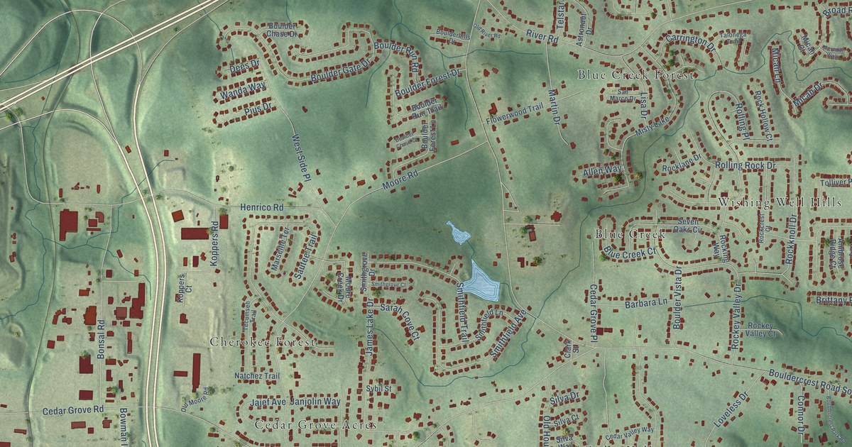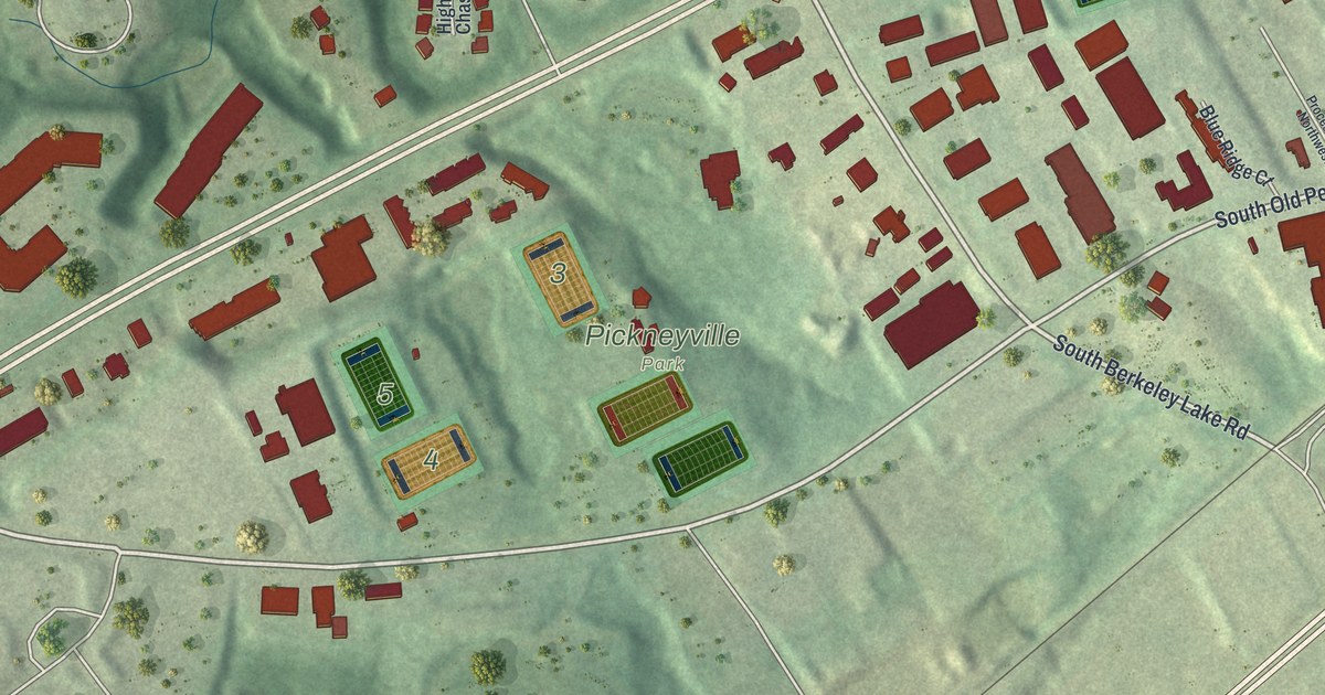
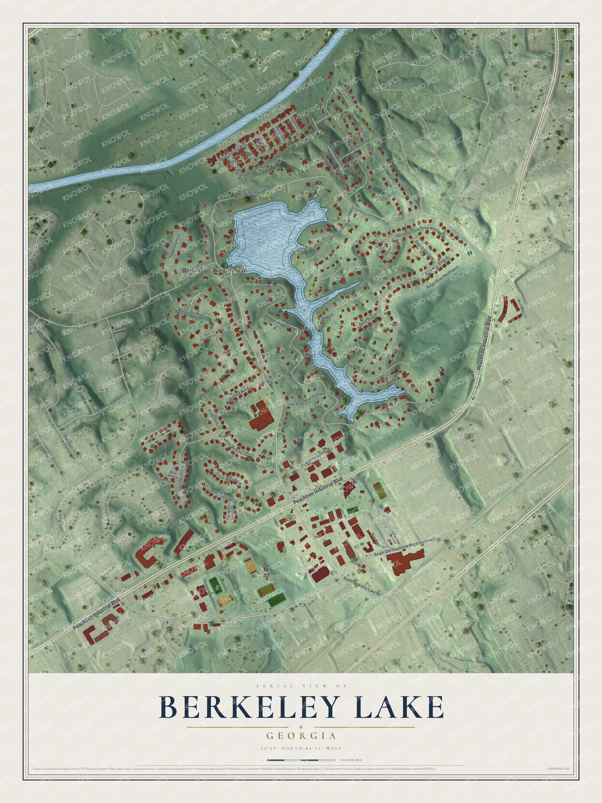
This beautifully detailed map of Berkeley Lake, Georgia was created in 2026 using aerial imagery combined with modern topographical, census, street and landmark data. It’s a one-of-a-kind view of Berkeley Lake that combines accurate data with a vintage aesthetic. The map shows every building in its true location, many of the roads carry their names, and the shaded topographic relief shows the shape of the land.
Explore an aerial view of Berkeley Lake, Georgia
On the map you’ll find Berkeley Lake City Hall and Pickneyville Park, along with Peachtree Industrial Boulevard, Berkeley Lake Road, South Old Peachtree Road, Berkeley View Drive, and more. If you look closely you can even find your house accurately drawn in its correct location. Zoom in on the preview to look for yours.
Did You Know?
Frank Coggins developed most of the land in Berkeley Lake in the late 1940s. Its dam went up in 1948 and is one of the largest earthen dams in Georgia. The lake, and later the city, took its name from his Berkeley Blue Granite Quarries in Elberton.
Take a closer look at the Berkeley Lake map
Names on this map
These names are printed on this map.
Places: Berkeley Lake City Hall, Pickneyville Park, Central River Park, Dogwood Bend Park and Westriver Park.
Streets and roads: Peachtree Industrial Boulevard, South Berkeley Lake Road, South Old Peachtree Road Northwest, Berkeley View Drive Northwest, Lakeshore Drive Northwest, North Berkeley Lake Road, Ridge Road Northwest, Berkeley View Drive, Berkeley Walk Point, Frederica Road Northwest, Hermitage Drive Northwest, Mansions Parkway.
More street names, A to Z
Balmoral Glen Drive, Bayway Circle Northwest, Blue Ridge Court, Briar Hill Cv, Bush Road, Chaselton Court, Cmns Gate Bend, Dogwood Bend Terrace, Dove Point, Duckpond Trce, Frederica Lane Northwest, Glen Devon Lane, Habersham Lane, Highgate Chase Court, Hilltop Lane, Kingsland Circle, Lakefield Bend, Little Ridge Road Northwest, Peachtree Lakes Drive, Process Drive Northwest, River District Drive, River District Way, River Mansions Cv, Saint Clair Circle, Wassaw Lane Northwest.
See it on a wall
The Berkeley Lake map as a framed print. Swipe for more.


This beautifully detailed map of Berkeley Lake makes an attractive addition to your office, library, or den, and it can even be used to teach children the geography and history of the area. It also makes a great gift for someone who left Berkeley Lake and still calls it home. When you’re done exploring, click here to get your copy of the Berkeley Lake map.