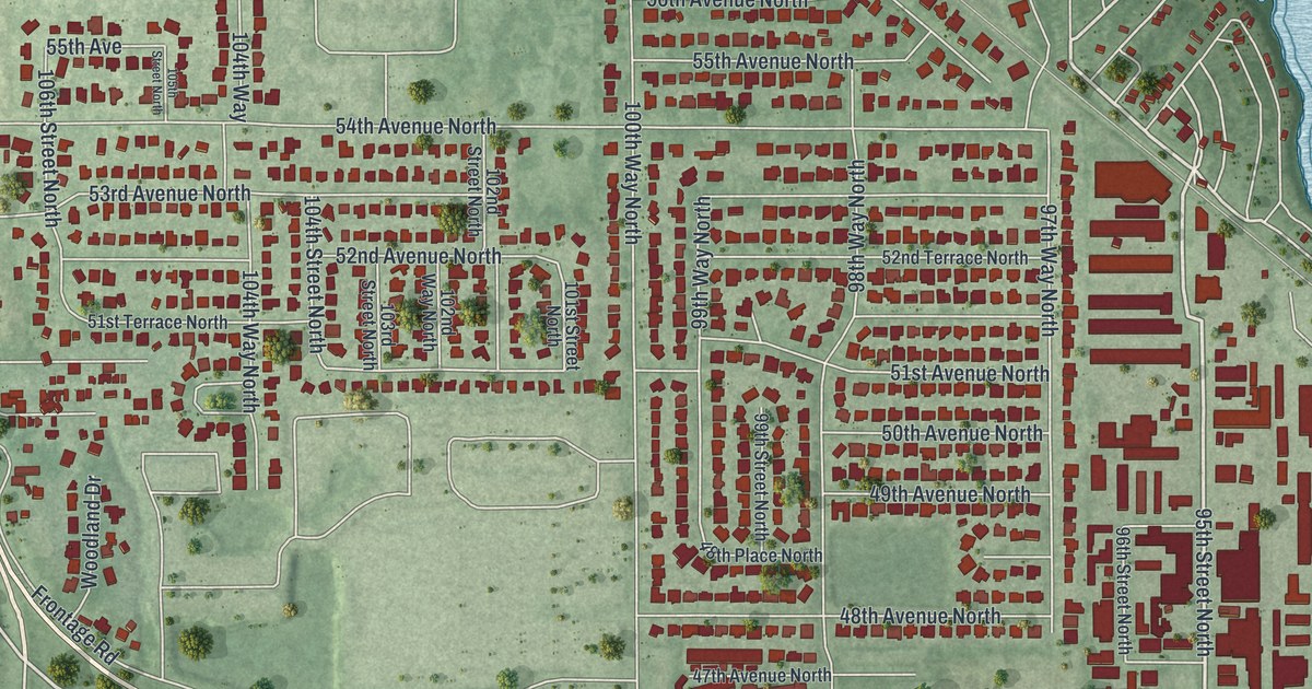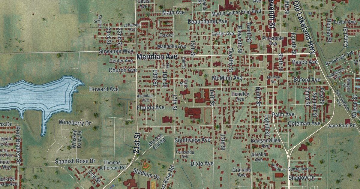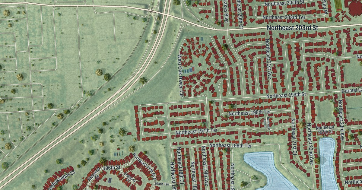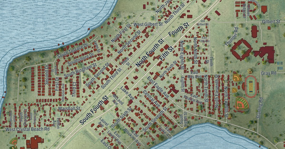
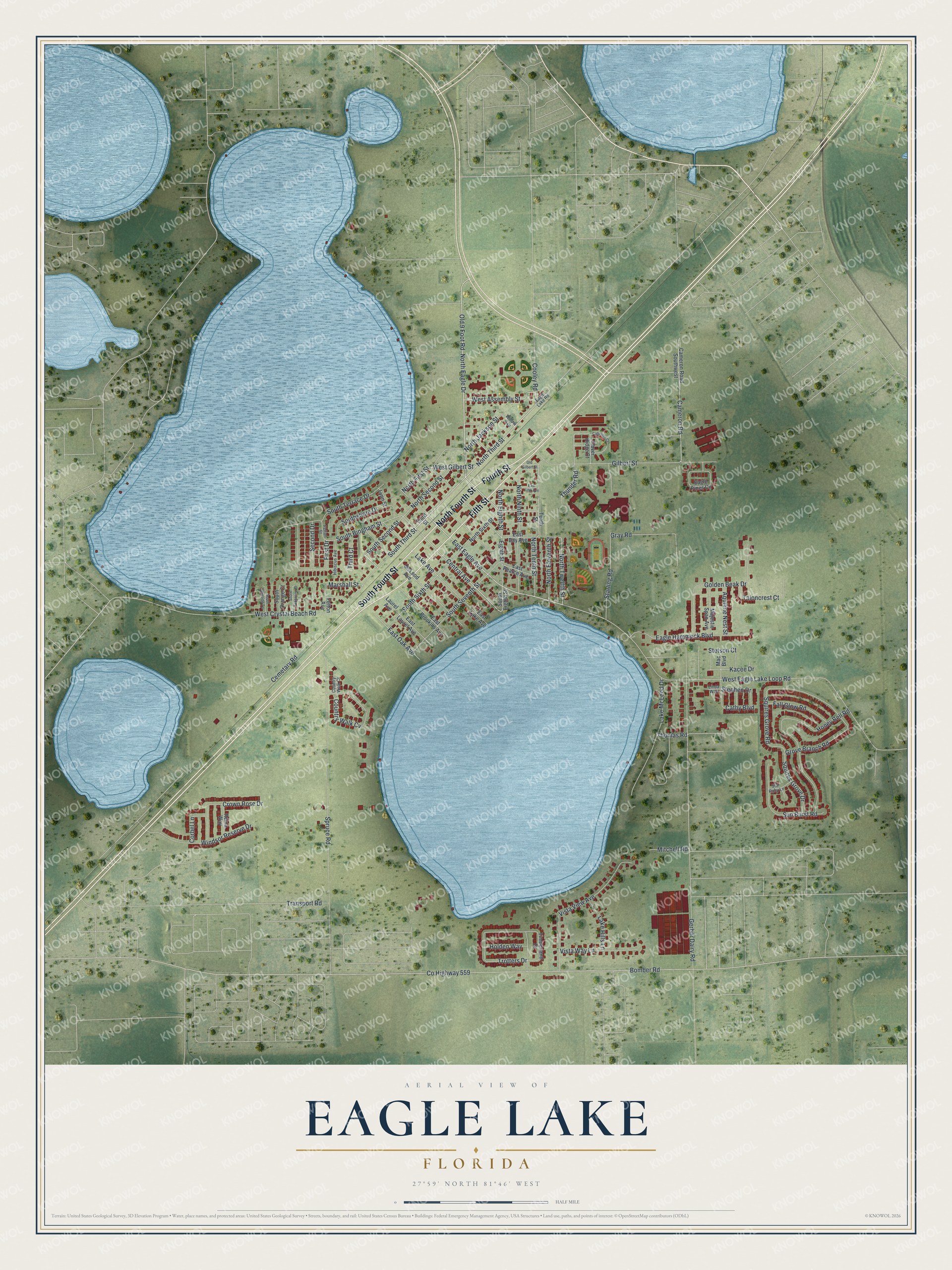
This beautifully detailed map of Eagle Lake, Florida was created in 2026 using aerial imagery combined with modern topographical, census, street and landmark data. It’s a one-of-a-kind view of Eagle Lake that combines accurate data with a vintage aesthetic. The map shows every building in its true location, many of the roads carry their names, and the shaded topographic relief shows the shape of the land.
Explore an aerial view of Eagle Lake, Florida
On the map you’ll find North Fourth Street, Fifth Street, South Fourth Street, Fourth Street, Old 9 Foot Road, North Third Street, East Eagle Avenue, West Assembly Street, North Eagle Drive, North Tenth Street, North Twelfth Street, Central Avenue, and more. If you look closely you can even find your house accurately drawn in its correct location. Zoom in on the preview to look for yours.
Did You Know?
John Bingham settled Eagle Lake in 1880 when he bought 160 acres on a knoll among three lakes. From his log cabin he could see an eagle nesting in a pine by the water. He named the lake and the community for that eagle. He sold the land in 1887, and the town was laid out in lots that year.
Take a closer look at the Eagle Lake map
Names on this map
These names are printed on this map.
Streets and roads: North Fourth Street, Fifth Street, South Fourth Street, Fourth Street, Old 9 Foot Road, North Third Street, East Eagle Avenue, West Assembly Street, North Eagle Drive, North Tenth Street, North Twelfth Street, Central Avenue.
More street names, A to Z
Aquiline Nest Street, Bomber Road, Cabernet Court, Cameron Road, Cameron Road Southwest, Cathy Boulevard, Cemetary Road, Clover Ridge Court, Cooley Road, Corbel Lane, Country Walk Court, Country Walk Cv, County Highway 559, Crown Rose Drive, Eagle Hammock Boulevard, Eagle Lake Road, Eagle Pines Circle, East Bay Avenue, East Brookins Avenue, East Fifth Avenue, East Lake Avenue, East Laurel Avenue, East Oak Avenue, East Pearce Avenue, Eighth Street, Fall Glow Road, Felton Avenue, Felton Street, First Drive, Gerber Dairy Road, Gilbert Street, Golden Beak Drive, Gray Road, Grove Branch Road, Hibiscus Avenue, Holden Way, Honey Bell Road, Kacee Drive, Lake Avenue, Lake Hills Lane, Lake McLeod Drive, Laurel Avenue, Linda Way, Lynn Street, Mac Boulevard, Majestic Span Avenue, Marshall Street, McLeod Avenue, Mitchell Road, North Eighth Street, North Eleventh Street, North First Street, North Jackson Street, North Ninth Street, North Second Street, North Sixth Street, Old Gilbert Street, Reina Way, Second Drive, South Bingham Street, South Eighth Street, South Lakeside Terrace, South Orange Court, South Second Street, South Seventh Street, Southshore Drive, South Sixth Street, South Tangerine Court, South Terrace Drive, South Third Street, Spruce Road, Squires Grove Drive, Squires Grove Road, Starling Road, Star Ruby Lane, Stephen Drive, Stetson Court, Sun Burst Road, Taloncrest Court, Tenth Street, Third Court, Third Street, Thomas Road, Thunder Road, Timberland Drive, Transport Road, Trotters Drive, Vista View Avenue, Vista Way Lane, West Crystal Beach Road, West Eagle Lake Loop Road, West Gilbert Street, Willow Avenue, Windsor Reserve Drive.
See it on a wall
The Eagle Lake map as a framed print. Swipe for more.


This beautifully detailed map of Eagle Lake makes an attractive addition to your office, library, or den, and it can even be used to teach children the geography and history of the area. It also makes a great gift for someone who left Eagle Lake and still calls it home. When you’re done exploring, click here to get your copy of the Eagle Lake map.