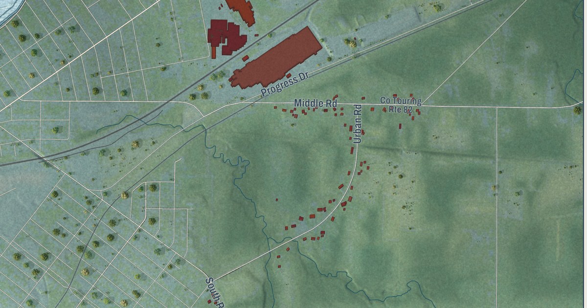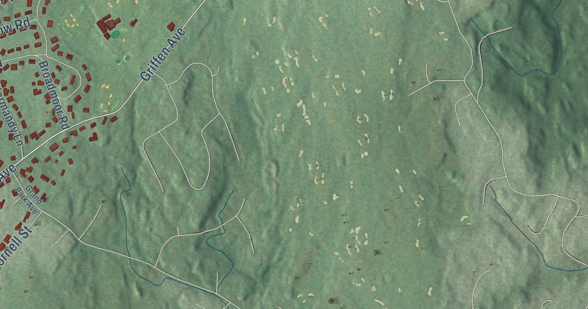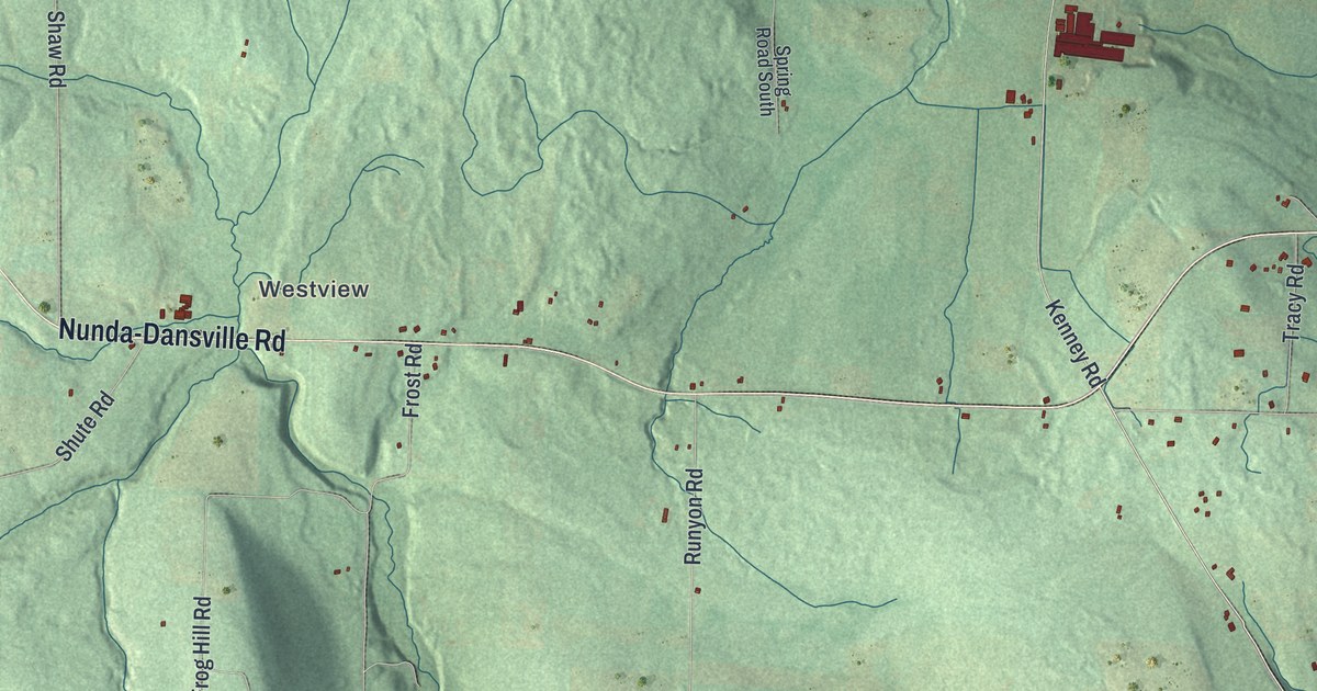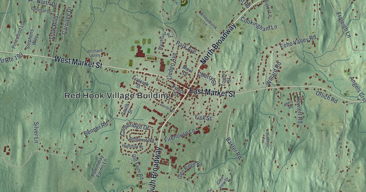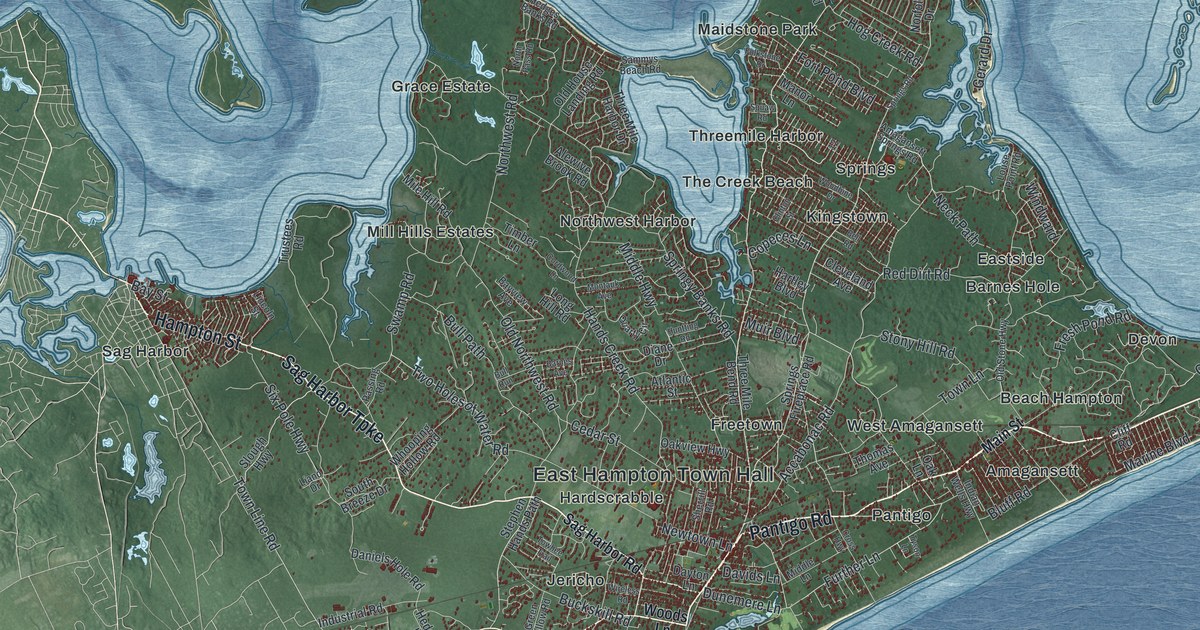
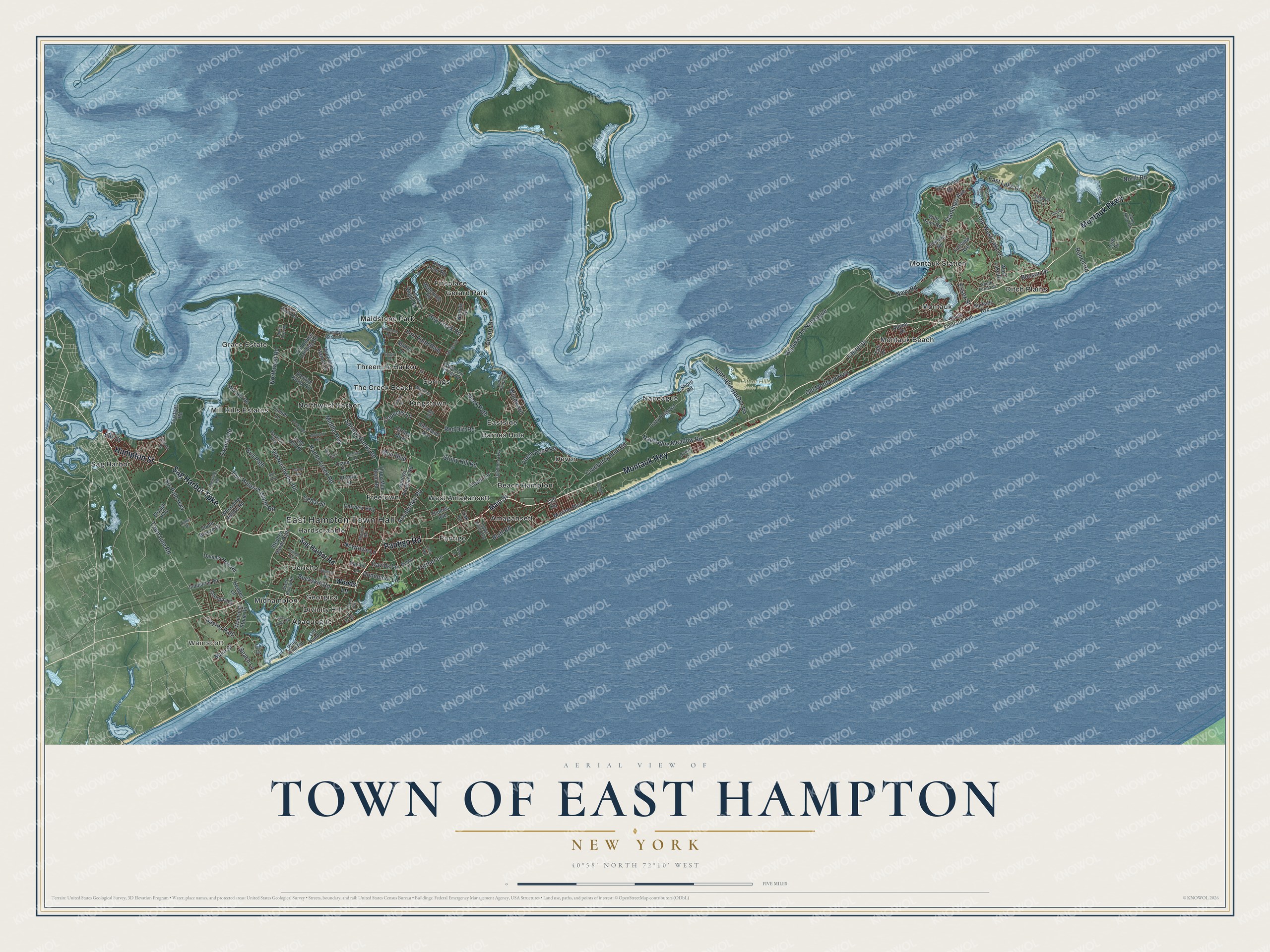
This beautifully detailed map of the Town of East Hampton, New York was created in 2026 using aerial imagery combined with modern topographical, census, street and landmark data. It’s a one-of-a-kind view of the Town of East Hampton that combines accurate data with a vintage aesthetic. The map shows every building in its true location, many of the roads carry their names, and the shaded topographic relief shows the shape of the land.
Explore an aerial view of the Town of East Hampton, New York
On the map you’ll find East Hampton Town Hall, Wainscott, Amagansett, Apaquogue, Barnes Hole, Beach Hampton, and Hither Hills State Park, along with Montauk Highway, Sag Harbor Turnpike, Pantigo Road, Hampton Street, and more. If you look closely you can even find your house accurately drawn in its correct location. Zoom in on the preview to look for yours.
Did You Know?
East Hampton was settled in 1648 by yeomen farmers from Kent, England. They first named it Maidstone. The 1938 hurricane hit the big mansions along the dunes with full force, and some were destroyed. By 1940 every one had been restored. The very old trees lining its streets survived the storm. That’s from the 1940 WPA guide to New York.
Take a closer look at the Town of East Hampton map
Names on this map
These names are printed on this map.
Places: East Hampton Town Hall, Wainscott, Hither Hills State Park, Amagansett, Apaquogue, Barnes Hole, Beach Hampton, Devon, Ditch Plains, Divinity Hill, Eastside, Fireplace, Freetown, Georgica, Gerard Park, Grace Estate, Hardscrabble, Jericho, Kingstown, Maidstone Park, Midhampton, Mill Hills Estates, Montauk, Montauk Beach, Montauk Station, Napeague, Northwest Harbor, Pantigo, Sag Harbor, Springs, The Creek Beach, Threemile Harbor and West Amagansett.
Streets and roads: Montauk Highway, Sag Harbor Turnpike, Pantigo Road, Hampton Street, Montauk Parkway, Further Lane, Town Line Road, Hog Creek Road, Accabonac Road, Bay Street, Flamingo Avenue, Copeces Lane.
More street names, A to Z
Adams Drive, Alewive Brook Road, Amagansett Springs Road, Atlantic Street, Barnes Avenue, Bayview Avenue, Beach Lane, Bell Road, Benson Drive, Bluff Road, Briar Patch Road, Buckskill Road, Bull Path, Bull Run, Camp Hero Road, Cedar Street, Cleveland Avenue, Cliff Drive, Cliff Road, Clinton Street, Cordwood Lane, Cranberry Hole Road, Cross Highway, Daniels Hole Road, Davids Lane, Dayton Lane, Diane Drive, Dunemere Lane, Dunes Lane, East Lake Drive, Eel Cv, Essex Street, Fairview Avenue, Fleming Road, Folkstone Drive, Fort Pond Boulevard, Fresh Pond Road, Georgica Drive, Gerard Drive, Green Hollow Road, Hands Creek Road, Hartley Boulevard, Hedges Banks Road, Hedges Lane, Highway To Napeague, Huntting Road, Indian Wells Highway, Industrial Road, Isle of Wight Road, Kings Point Road, Laurel Drive, Lazy Point Road, Liano Drive, Lily Lane, Lily Pond Lane, Lincoln Street, Long Hill Road, Louse Point Road, Main Street, Manor Lane, Marine Boulevard, Middle Highway, Middle Lane, Mile Hill Road, Montauk Avenue, Muir Boulevard, Napeague Harbor Road, Napeague Meadow Road, Navy Road, Neck Path, Newtown Lane, Norfolk Drive, North Pass Road, North Road, Northwest Road, Oak Lane, Oakview Highway, Ocean Avenue, Old House Landing Road, Old Montauk Highway, Old Northwest Road, Old Stone Highway, Old West Lake Drive, Passing Road, Prospect Hill Lane, Quarty Circle, Ranch Road, Red Dirt Road, Sag Harbor Road, Sammys Beach Road, Sayres Path, Sherrill Road, Shore Road, Six Pole Highway, Slough Highway, Soundview Drive, South Breeze Drive, South Emerson Avenue, South Forest Street, Springs Fireplace Road, Springs Road, Springy Banks Road, Star Island Road, Startop Drive, Stephen Hands Path, Stony Hill Road, Surfside Avenue, Swamp Road, Taft Drive, Thomas Avenue, Three Mile Bend Road, Three Mile Harbor Drive, Timber Lane, Towhee Trail, Town Lane, Trustees Road, Two Holes of Water Road, Tyson Lane, Wainscott Stone Road, Waterhole Road, West End Road, West Lake Drive, Whalers Lane, Whooping Hollow Road, Wills Point Road, Windward, Wireless Road, Woodbine Drive, Woods Lane.
See it on a wall
The East Hampton map as a framed print. Swipe for more.


This beautifully detailed map of the Town of East Hampton makes an attractive addition to your office, library, or den, and it can even be used to teach children the geography and history of the area. It also makes a great gift for anyone who grew up in the Town of East Hampton or moved away. When you’re done exploring, click here to get your copy of the Town of East Hampton map.